Windy Hill-Hamms Gulch and Spring Ridge Trails
(scroll to bottom for photo gallery)
Location: The loop hike that includes the descending leg in this post and the ascending leg in a separate post (Windy Hill-Betsy Crowder and Meadow Trails) starts at what is noted on the Windy Hill trail map (but not necessarily on online maps) as “Lower Windy Hill” parking area, 555 Portola Road, Portola Valley, CA 94028
Starting Point: Windy Hill Open Space Preserve parking area on Portola Road, about 0.6 miles south of the Portola Valley Town Center
Info links:
For all web links, if a link doesn’t jump directly, copy and paste into browser.
Windy Hill Open Space Preserve info link (Midpeninsula Regional Open Space):
https://www.openspace.org/preserves/windy-hill
Windy Hill Open Space Preserver Trail Map (Midpeninsula Regional Open Space):
https://www.openspace.org/sites/default/files/map_WH.pdf
Other Windy Hill hike information (Peninsula Open Space Trust):
https://openspacetrust.org/hike/windy-hill/
Distance:
This post covers the descending segment of a loop hike (ascending leg covered in Windy Hill-Betsy Crowder and Meadow Trails Hike Notes). Starting from the Lower Windy Hill parking area on Portola Road, we walked the short distance from the parking/public restroom area on a service road to Windy Hill Open Space Preserve trails. We took the Betsy Crowder Trail for 0.6 miles, took the Spring Ridge Trail northwest (not southeast) as a 0.3 mile connector to the Meadow Trail. We followed the Meadow Trail for 0.5 miles until we reached Hamms Gulch Trail, and took that for 0.2 miles to connect with the Spring Ridge Trail. We then took the Spring Ridge Trail north for 0.6 miles to return to the Lower Windy Hill parking area, passing Sausal Pond along the way. This made for a pleasant 2.2 mile loop hike.
Considerations:
• The Lower Windy Hill parking area off Portola has a fair number of spaces, but Windy Hill Open Space info also says additional parking is available at the Portola Valley Town Center.
• There are toilets at the Lower Windy Hill parking area.
• Follow health, safety, and wildlife information signs.
• Having a poison oak scrub like Technu is handy for any trail.
• As with any Bay Area outing, bring layers. You may be hot in the sun one moment and shivering under fog and a chilly breeze the next.
• Maps are important, whether paper or a downloaded image. Cell service is not always reliable, so downloading an image ahead of time helps. Not all trails are marked clearly or accurately on all maps, and trail signs aren’t always as clear cut as expected, so keeping a sense of bearings is important.
The trail:
This is the descending leg of a loop hike that starts and ends at the Lower Windy Hill parking area off Portola Road.
There is a fairly ample parking area off Portola Road, but visitors should be aware that trailhead parking is usually more crowded on weekends and holidays.
We left the parking area and found public toilets and then information signs a bit farther along, where paper brochures with a trail map were on offer. The trail map was very useful, and can be returned at the end if not needed. If brochures are gone, take a photo of the trail map on the sign for reference.
The ascending leg of this hike to reach the junction of the Meadow Trail and Hamms Gulch Trail is described in the Windy Hill-Betsy Crowder and Meadow Trails Hike Notes.
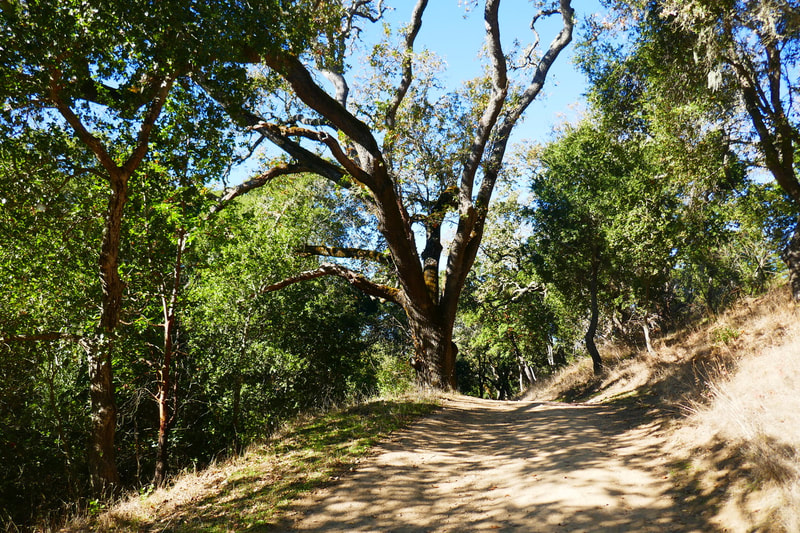
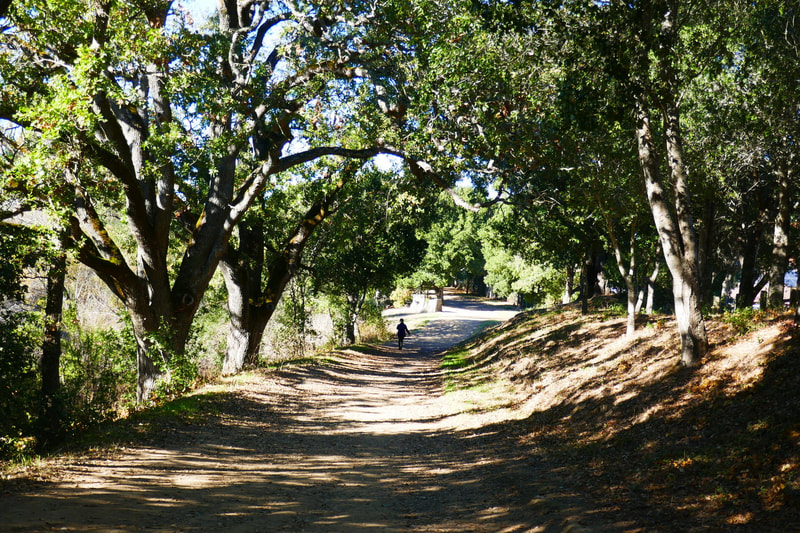
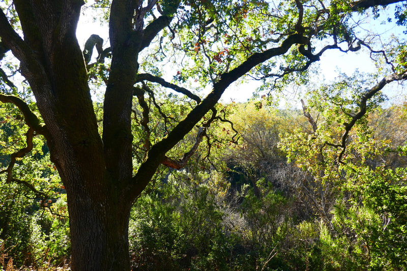
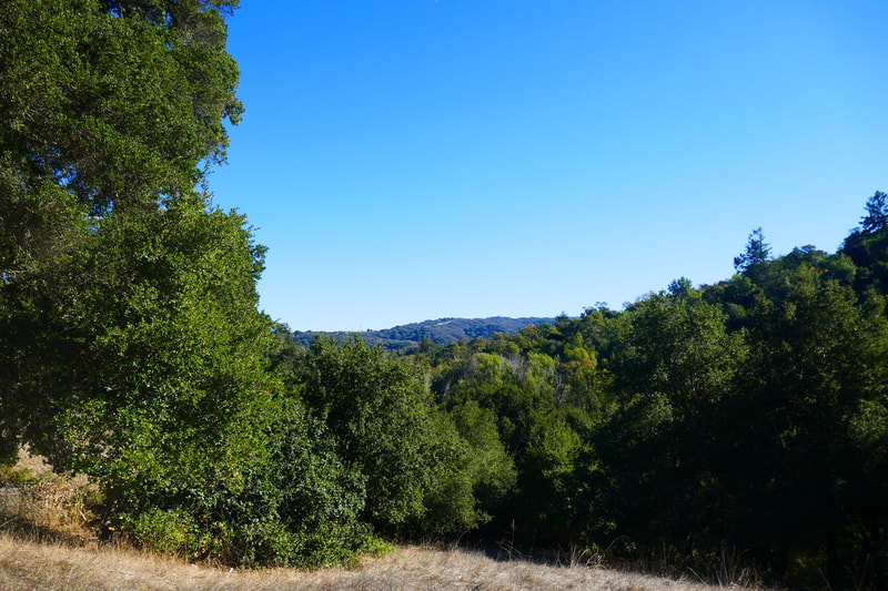
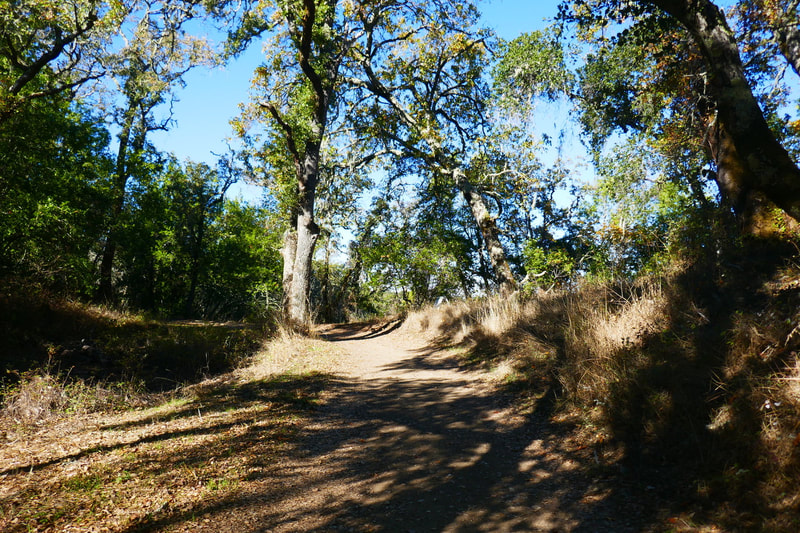
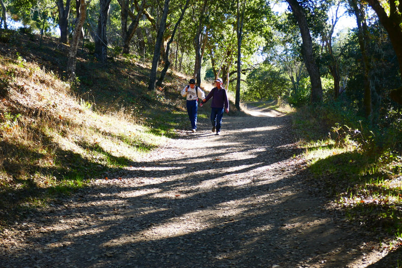
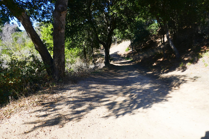
As can be seen in the photo gallery for this hike, there are many lovely oak trees creating tree tunnels with dappled leaf shadows along the trails. Wooden fences, blue sky backlighting twisted branches, and fairly wide, smooth trails are features of this part of Windy Hill.
We pick up at connecting to Hamms Gulch Trail from the Meadow Trail. Having the map offered at the information kiosk at the trailhead is a good idea. There are many trail signs in Windy Hill Open Space Preserve, which is great, but trail signs can be a little confusing. After 0.4 miles on the Meadow Trail (from the short Spring Ridge Trail connector, see full trail connection description in “Distance” section above) watch for the trail sign that says, “Meadow Trail, Please Stay On Trail, Hamms Gulch Trail 0. 1 mi.” The last stretch of the Meadow Trail is apparently a little confusing for some. We followed the markers and connected to Hamms Gulch Trail where we found more trail markers.
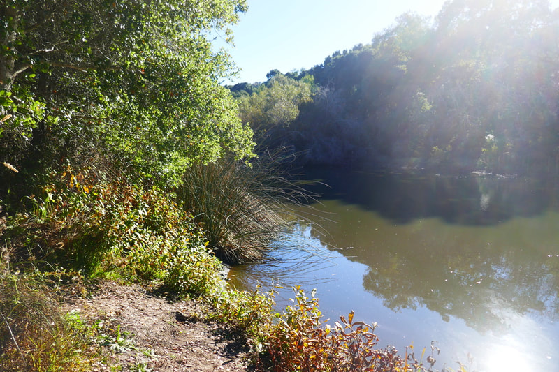
We made the short 0.2 mile connection on Hamms Gulch Trail to the Spring Ridge Trail. Hamms Gulch Trail is actually one of the longer trails at Windy Hill, taking hikers almost across the whole width of the preserve, but we used it as a short connector to the Spring Ridge Trail to make our way back toward our starting point. This part of the Spring Ridge Trail (another of Windy Hill’s longer trails that can take hikers across most of the width of the preserve) is highlighted by passing along Sausal Pond.
The end stretch featuring Sausal Pond has an especially nice play of light and shadows on the trees that line the smooth, wide path. The lighting during our visit gave the feel of an Impressionist painting, especially where light reflecting off the pond glowed behind the trees lining the trail.
Overall, the Windy Hill trails in this area were nicely maintained and the trail signs were reasonably clear, though it was still very helpful to have the paper map offered at the trailhead as we navigated several trail intersections for this hike.
(Windy Hill-Hamms Gulch and Spring Ridge Trails Hike Notes were originally paired with the “Empty Bench” Insights post.)
Check the Home page for the broader background story. Click Insights/Hike Update News for inspiring reflections. Browse hikes on the main Hikes page or on the Hike Search by Area page, and scroll to the bottom of each hike page to see full photo galleries.
If you’d like to support HikingAutism, check out the Support/Shop page! Check out selected articles and interviews under Media. Click World Walks to see or share favorite family-friendly walks! Stay in touch with Lisa Louis and HikingAutism via Contact. The Links page lists a loose collection of helpful information links. Feel free to share and follow on Facebook at HikingAutism, follow on Twitter at @HikingAutism and Instagram at lisalouis777
