Eagle’s Point
(scroll to bottom for photo gallery)
Location: 916 El Camino del Mar, San Francisco, CA 94121
Starting Point: El Camino del Mar, near 32ndAve., at the eastern edge of the Lincoln Park Golf Course
Info links:
For all web links, if a link doesn’t jump directly, copy and paste into browser.
For online map application searches, input “Eagle’s Point, San Francisco”
Lands End to Presidio Trail map (National Park Service):
https://www.nps.gov/goga/planyourvisit/upload/map-laen-11x17_larger_print_5-21-14_print.pdf
Lands End Trail map for section west of Eagle’s Point (this map oriented with North facing right) (National Park Service):
https://www.nps.gov/goga/planyourvisit/upload/LE_Pad_Map_5-12d.pdf
Lands End information link (National Park Service):
https://www.nps.gov/goga/planyourvisit/landsend.htm
Distance:
The Lands End Trail loop is noted as being 3.4 miles. The photo gallery for this Eagle’s Point Hike Notes focuses on a short section of Lands End/Coastal Trail starting at the Eagle’s Point Trailhead at El Camino del Mar near 32ndAve., and goes about 0.6 miles to a steep stairway viewing spot with dramatic views toward the Golden Gate Bridge, for a relatively easy 1.2 mile walk with moderate hills and some worn sections of trail.
Considerations:
• When using nearby street parking, pay careful attention to parking rules.
• The Eagle’s Point end of the Lands End Trail does not have public toilet facilities, but there are facilities at the western end at the Lands Out Lookout visitor center.
• The walk described here is just over a mile round trip, so it is not long, but there are some moderate grades and some parts of the trail are uneven due to erosion.
• Lands End Trail’s popularity means making space on the trail in narrow spots at busy times.
• Warning signs about cliff danger and staying on the marked trail are there for good reason. Do not become a news story.
• Heed signs regarding wildlife, particularly coyotes.
The trail:
When our family needs a quick little walk “in our own backyard,” Eagle’s Point to the scenic stairway midway toward Mile Rock Beach is an easy choice. We enjoy taking the scenic drive through Lincoln Park. Entering from Clement Ave. and 34thAve., Legion of Honor Drive passes through part of the Lincoln Park Municipal Golf Course, and past the Palace of the Legion of Honor with its hallmark Rodin’s “Thinker” sculpture at the entrance. Just past the fountain and parking area for the Legion of Honor, we turn right on El Camino del Mar and drive until we see the houses of Sea Cliff ahead, parking before we reach the residential area. This drive also makes for a scenic walk, for those who wish to take a longer walk than is described here. Watch out for golf balls when along the golf course.
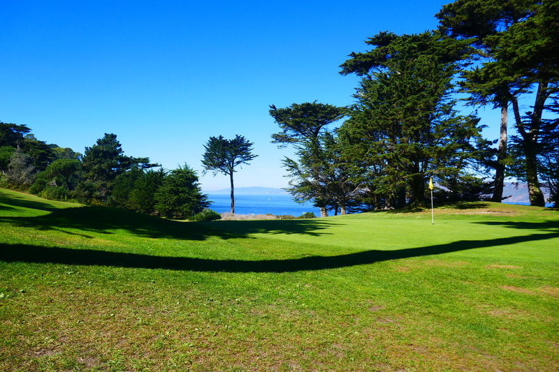
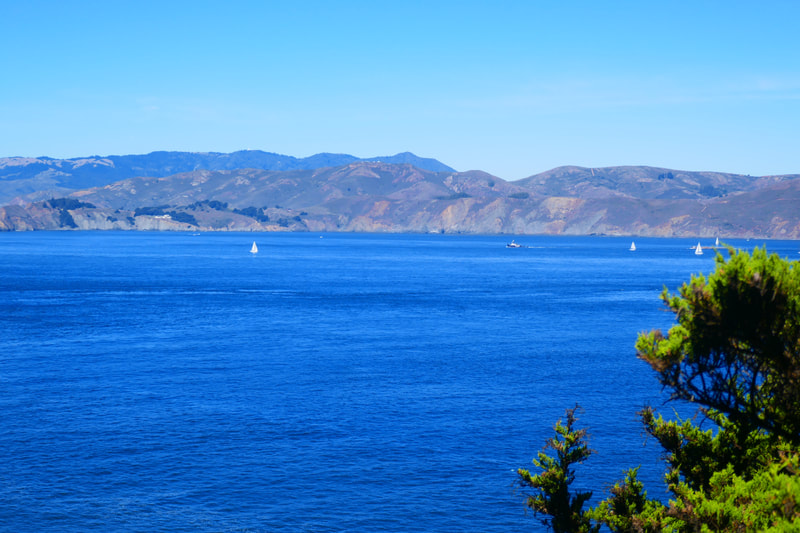
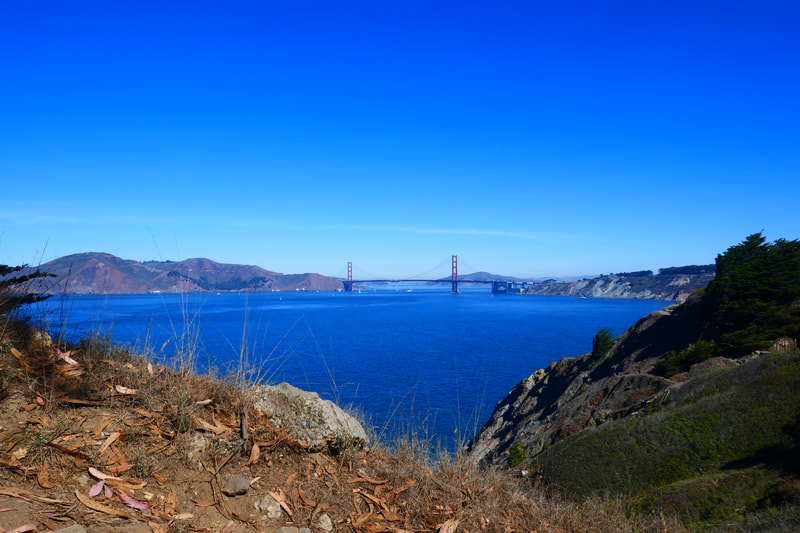
The Eagle’s Point trailhead opens out to the right with the Eagle’s Point Overlook area. Benches face out for a grand view of the Golden Gate Bridge and the Marin Headlands, with Mount Tam visible in the distance. The golf course on the other side of the trail also makes for pretty scenery.
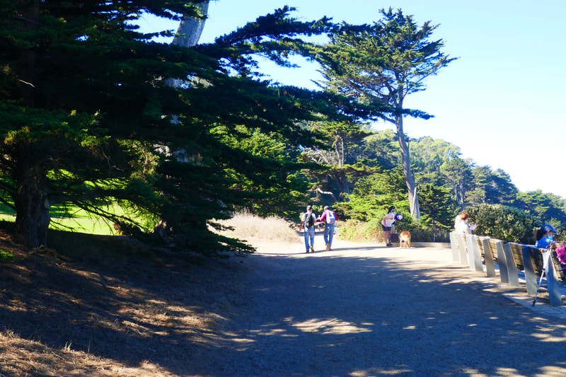
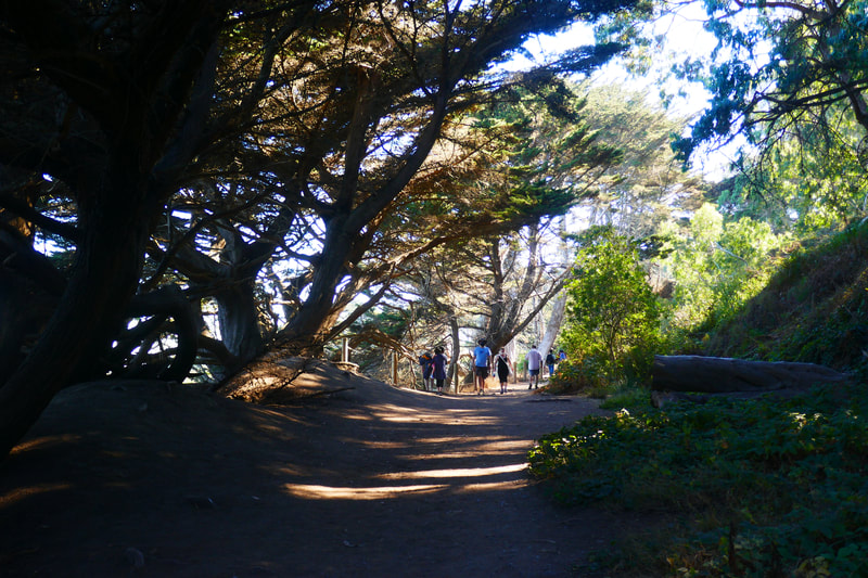
Heading toward the trees, walkers meander their way through some tree tunnels and a few narrow spots. Parts of the trail are worn along this stretch and require some maneuvering to make space for other walkers when the trail is busier.
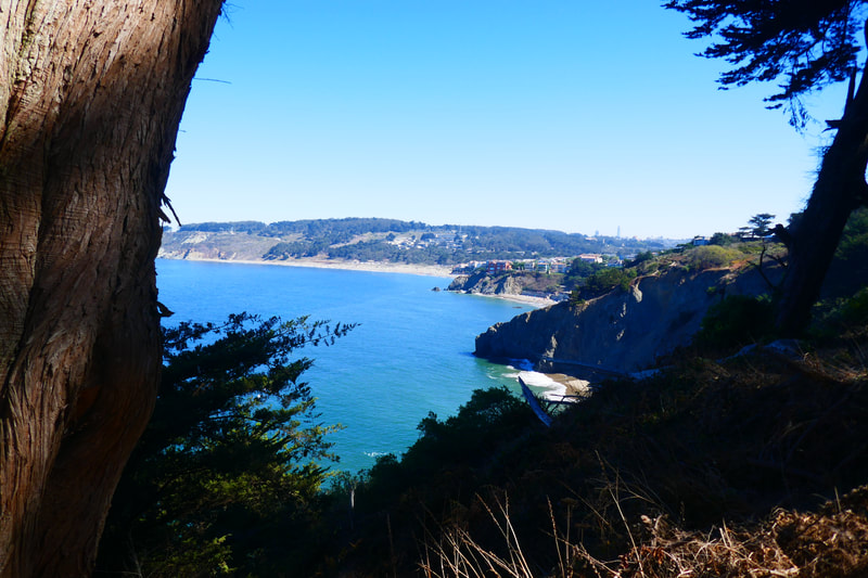
A slight rise in elevation along this narrow stretch leads to a fence lined area with gorgeous views through the trees. Looking toward the bridge, visitors can also see dramatic views of China Beach. Looking sharply below from the cliff tops, visitors might spot kayakers exploring the shoreline, and we’ve seen harbor seals resting on rocks far below.
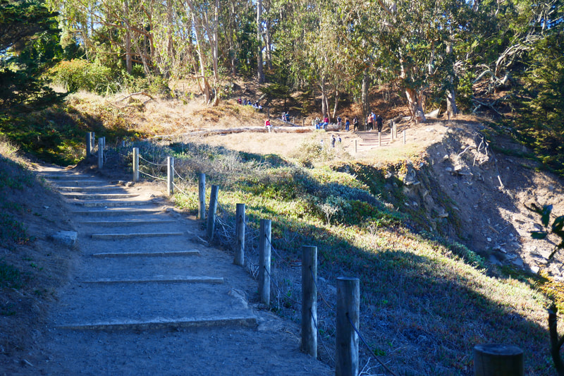
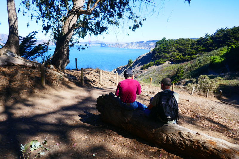
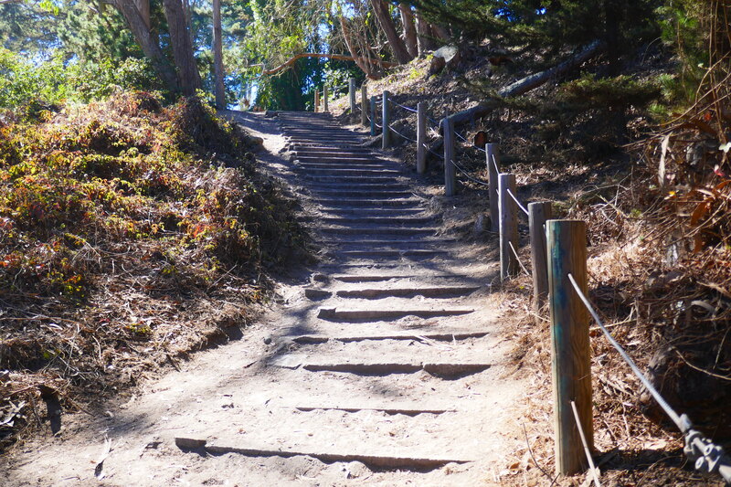
The twisty tree tunnel section opens up to a space with a broader view. The steep stairway up the hill has a large log that makes a natural bench for stopping to look back toward the bridge and shoreline, or past Mile Rock toward the wide Pacific, with the Marin Headlands just across the water.
Those who wish to take a longer walk could continue up and over the stairs to the Mile Rock Beach trail turnoff, or continue on to Sutro Baths, the Lands End Lookout visitor center, Fort Miley, and the USS San Francisco Memorial. There are many stunning places to see along the Lands End Trail.
For the walk shown in the gallery for this post, the just over half mile to the stairs and back makes for a relatively easy walk with a breathtaking rest stop at the big log by the stairs. You can’t beat the view, which has a special beauty on clear blue sky days as well as foggy gray ones.
(Eagle’s Point Hike Notes were originally paired with the “Our Own Special Icons” Insights post.)
Click Insights/Hike Update News for inspiring reflections. Browse hikes on the main Hikes page or on the Hike Search by Area page. Check out selected articles and interviews under Media. Click World Walks to see or share favorite family-friendly walks! Stay in touch with Lisa Louis and HikingAutism via Contact. See products with inspiring designs that support the efforts of HikingAutism under Support/Shop. The Links page lists a loose collection of helpful information links.
Check the Home page for the broader background story. If you’re not able to take one of these Northern California hikes, hopefully you can enjoy the photo galleries at the bottom of each hike page! Feel free to share and follow on Facebook at HikingAutism, follow on Twitter at @HikingAutism and Instagram at lisalouis777
