San Pedro Valley Montara Mountain-Brooks Creek Loop
(scroll to bottom for photo gallery)
Location: 600 Oddstad Blvd., Pacifica, CA 94044, from CA Route 1 (Cabrillo Highway), take Linda Mar Blvd. until it ends at Oddstad Blvd., turn right and then immediately left again on Trout Farm Road to the parking areas.
Starting Point: From the Visitor Center area of the parking lot, look for the trail markers indicating the trailhead for Montara Mountain Trail and Brooks Creek Trail. The hike in this post is a loop that rises to the peak and back down following these two trails.
Info links:
For all web links, if a link doesn’t jump directly, copy and paste into browser.
San Pedro Valley Park information link (San Mateo County):
https://parks.smcgov.org/san-pedro-valley-park
San Pedro Valley Park trails and map link (San Mateo County):
https://parks.smcgov.org/san-pedro-valley-park-trails
San Pedro Valley Park visiting and directions (San Mateo County):
https://parks.smcgov.org/locations/san-pedro-valley-park
Also recommended:
San Pedro Valley Park information link (City of Pacifica):
https://www.cityofpacifica.org/depts/rec_department/parksbeaches/beach_and_park_info_and_rules/san_pedro/default.asp
San Pedro Valley Park trails info (Friends of San Pedro Valley Park):
http://friendsofsanpedrovalleypark.org/trails/
Distance:
With a bit of walking back and forth from the parking area, and about 2.2 miles for the Montara Mountain and Brooks Creek trails loop, hikers put in about 2.5 miles for this outing. There is quite an elevation rise, so the moderate distance is countered by quite a fair amount of climbing.
Considerations:
• The parking area is fairly large. There are two main parking loops near the visitor center.
• There are toilet facilities near the picnic areas and main trailheads.
• Follow health and safety signs, as well as wildlife information signs.
• Poison oak shows up along many trails in the area. Staying clear of poison oak is the best defense, but having a scrub like Technu is also handy.
• As with any Bay Area outing, bring layers. You may be hot in the sun one moment and shivering under fog and a chilly breeze the next.
The trail:
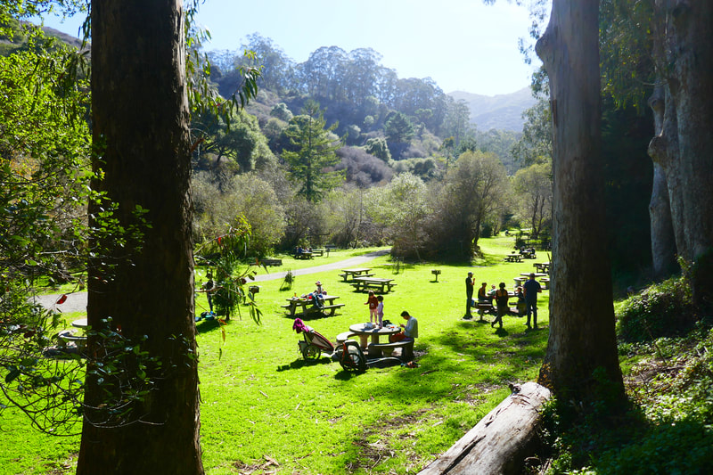
On our most recent visit, health and safety issues dictated that these trails be walked in a one way loop. We started the Montara Mountain Trail from near the parking area, where the popular picnic table area is in view. Though hiking is popular here, our sense is that most of the parked cars are there for picnic area visits.
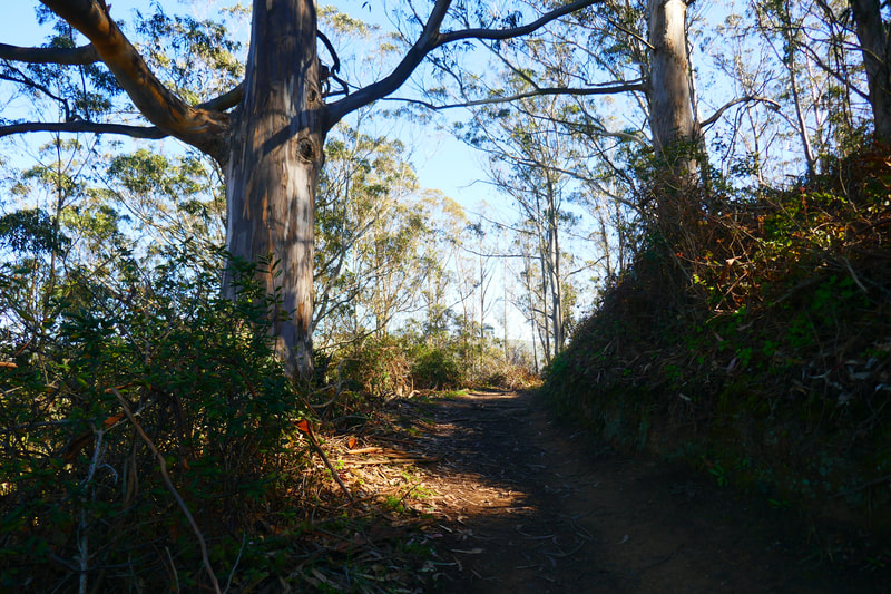
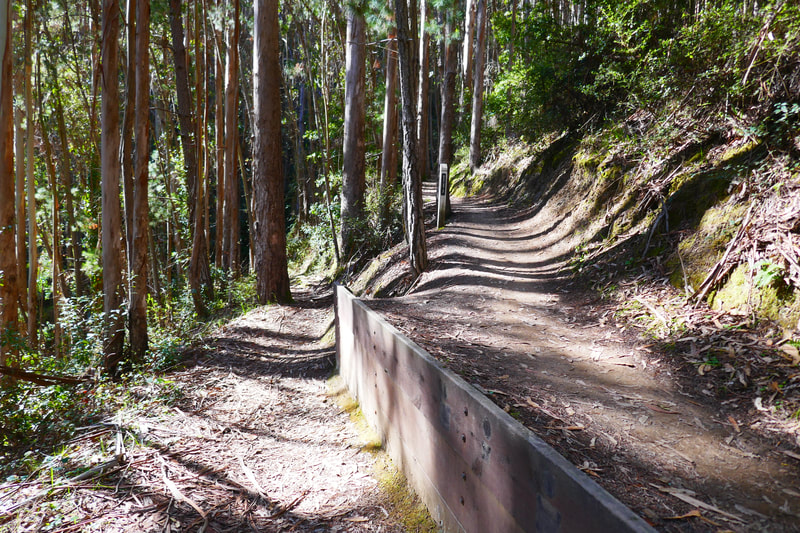
Following the one way sign, we turned to the right and made our way up the twists and turns of the earthy path through eucalyptus trees with views across Pacifica out to the ocean. The switchback nature of the trail made the fairly rapid rise in elevation feel less strenuous than doing the ascent from the other direction.
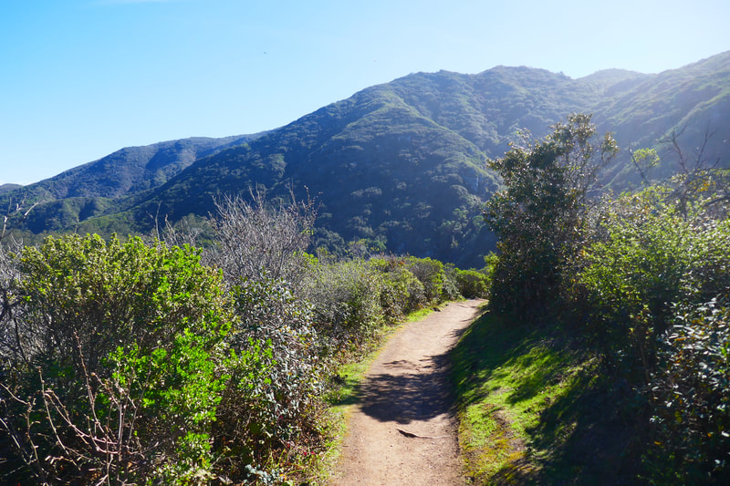
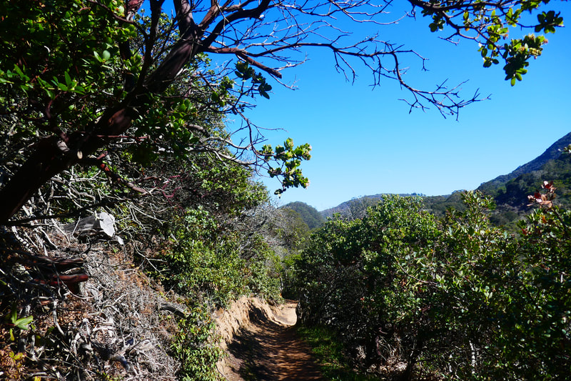
After rising through the pretty eucalyptus forest, the trail opens out into chaparral lined by coyote brush, with views of the mountains ahead. Turkey buzzards entertained us for most of our time at the higher elevations, including quite a large group who were circling over an object below that was out of our view.
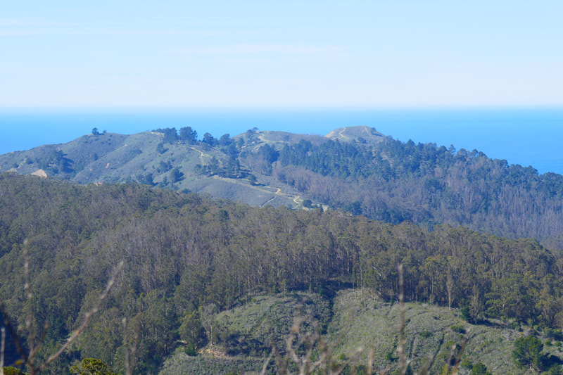
The Montara Mountain Trail rises to a little crest with a bench where it connects with the Brooks Creek Trail. This is a great spot to stop and enjoy the view of Pacfica, with Marin County and Mount Tam visible in the distance across the water. You can also see twisty trails on nearby hills just south of Pacifica.
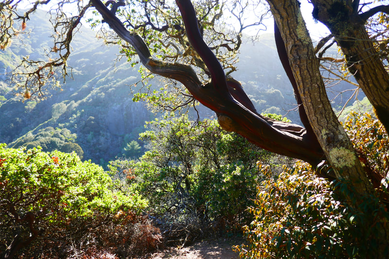
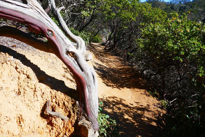
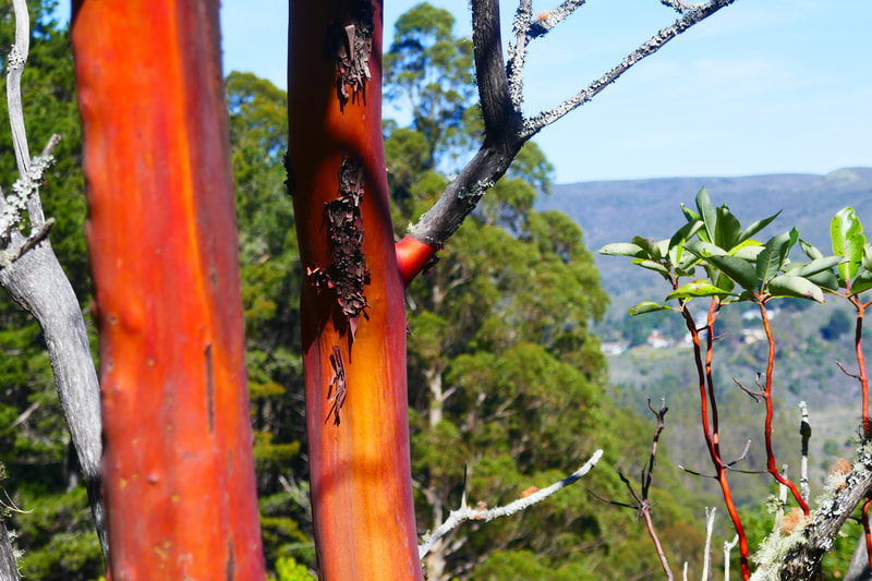
Turning from this junction/view spot down Brooks Creek Trail, the feeling of the trail makes a strong shift toward chaparral and mountain views. This is where more of the elegant reddish smooth bark of manzanita comes more into view. The trail narrows and steepens for a stretch. There are a couple of very sharp turns on Brooks Creek Trail, but not as many as on Montara Mountain Trail, which means the trail feels steeper to cover a shorter distance.
Interesting mountain views stay within sight as walkers drop down from the manzanita section of trail back into eucalyptus forest. There are trail signs pointing to a waterfall viewing area and the short Trout Farm Trail, which we did not hike this visit. The trail continues down through pine trees and some mossy areas to return to the trailhead parking area.
(San Pedro Valley Montara Mountain-Brooks Creek Loop Hike Notes were originally paired with the “Lines and Shadows” Insights post.)
Click Insights/Hike Update News for inspiring reflections. Browse hikes on the main Hikes page or on the Hike Search by Area page. Check out selected articles and interviews under Media. Click World Walks to see or share favorite family-friendly walks! Stay in touch with Lisa Louis and HikingAutism via Contact. See products with inspiring designs that support the efforts of HikingAutism under Support/Shop. The Links page lists a loose collection of helpful information links.
Check the Home page for the broader background story. If you’re not able to take one of these Northern California hikes, hopefully you can enjoy the photo galleries at the bottom of each hike page! Feel free to share and follow on Facebook at HikingAutism, follow on Twitter at @HikingAutism and Instagram at lisalouis777
