Madrone Trail to Salamander Flat-Wunderlich Park
(scroll to bottom for photo gallery)
Wunderlich County Park, 4040 Woodside Road, Woodside, CA
Location: The lower Wunderlich Park parking lot is a short distance after the entrance on Woodside Road, with toilet facilities and picnic tables in easy view.
For all web links, if a link doesn’t jump directly, copy and paste into browser. (Information links may change. We do our best to update.)
Wunderlich Park information link (County of San Mateo):
https://www.smcgov.org/parks/wunderlich-park
Wunderlich Park trail information link (County of San Mateo):
https://www.smcgov.org/parks/wunderlich-park-trails
Wunderlich Park brochure link (available in English and Spanish) (County of San Mateo):
https://www.smcgov.org/parks/wunderlich-park-brochure
Wunderlich Country Park trail map link (County of San Mateo):
https://www.smcgov.org/sites/default/files/2022-06/Wunderlich-Park-Map-July2018.pdf
Distance:
Wunderlich Park has many trails of differing lengths, many of which intersect, so it is possible to create hikes of various lengths as desired. The hike we chose was a 2.6 mile loop. The Wunderlich Park trail map has mileage clearly marked. We walked the 0.2 miles from the parking area to Folger Stable, walked 0.5 miles along Bear Gulch Trail, took the Madrone Trail for 0.6 miles to Salamander Flat, walked the Redwood Trail for 0.2 miles to connect with the Meadow Trail, walked east on the Meadow Trail (following directions toward the entrance, rather than further into the park) for 0.4 miles, and then returned to the parking area via the Alambique Trail for 0.7 miles.
Considerations:
General note: All information is subject to change based on current health and safety guidelines.
• There is a fairly large parking area near the main entrance off Woodside Road.
• There are toilets in the initial parking area.
• Follow health, safety signs, and wildlife information signs.
• Having a poison oak scrub like Technu is handy for any trail.
• As with any Bay Area outing, bring layers for clothing.
• It’s always good to have sun protection, water and maybe a snack.
• Wunderlich Park has many trails that cross and turn in various combinations. Pick up a Wunderlich Park paper brochure near the entrance or download a PDF brochure with map using the link above.
• Wunderlich Park has excellent trail signs with clearly marked mileage between trail junctions and points of interest.
The trail:
I love the National Park Service and our amazing Golden Gate National Recreation Area. I also love the many wonderful parks in the California State Park System. There are many other park systems, including various county park systems, which offer amazing options. San Mateo County has many excellent parks for hiking, including Wunderlich Park in Woodside.
The lower parking lot near the Woodside Road entrance is fairly large compared to many parks. There are toilet facilities and picnic tables in the immediate parking area. There may also be paper brochures with trail map available at one of the information signs.
We chose to do a moderate loop hike on this visit. We walked the 0.2 miles from the parking area to Folger Stable. Here, and at many stops along trails throughout the park, there were information signs that gave historical and local habitat, flora and fauna information. Wunderlich Park gets high marks for having not only numerous trail markers including distances but also many information signs. We didn’t have time to visit the Carriage Room Museum but will visit next time.
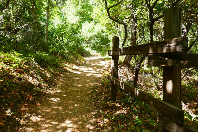
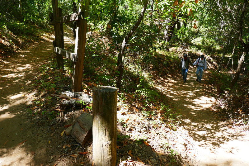
From Folger Stable, we found the trailhead to the Bear Gulch Trail. We followed the stone wall at the start, then walked up an incline across a wooden footbridge and passed several atmospheric wooden fences along this trail, which rises slowly through mixed deciduous forest and redwoods. At 0.5 miles, we switched to the Madrone Trail.
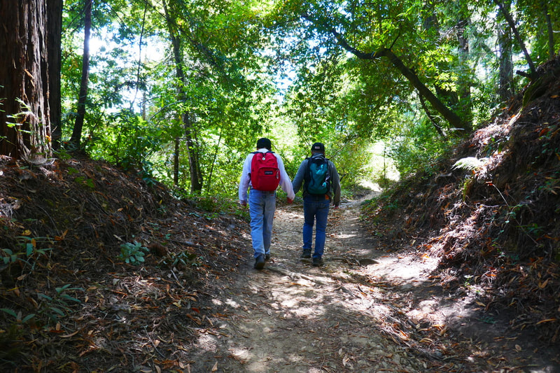
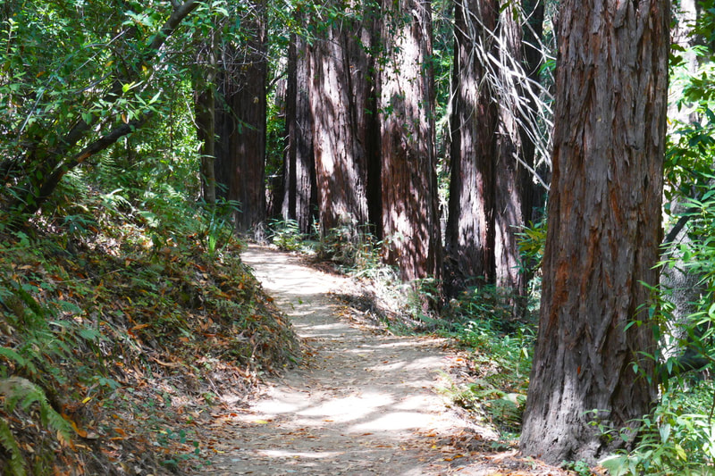
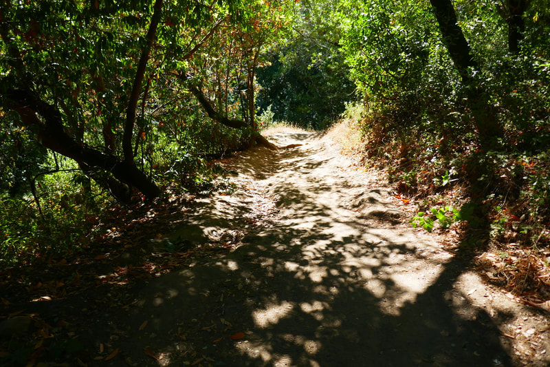
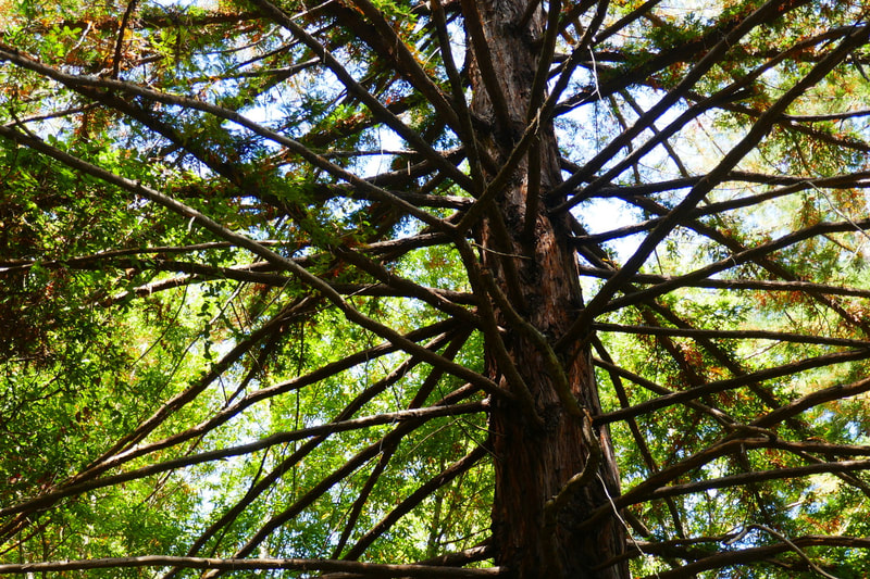
We walked the 0.6 miles along the Madrone Trail to reach Salamander Flat. We saw more redwoods as we wound our way up this stretch. Still, there was a mix of leafy, deciduous sections of trail with madrone trees and their distinctive bark, and then deeper, darker sections of redwoods.
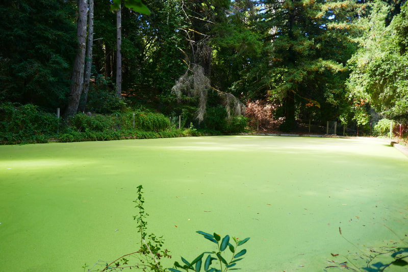
A wooden sign announced the arrival at Salamander Flat, elevation 1100 feet. There was yet another helpful information sign telling about the rough-skinned newts that reside here, and how newts differ from salamanders and lizards. The bright green algae covering the pond here had an other-worldly feel. The bench at this location was handy for a snack and rest break.
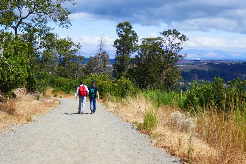
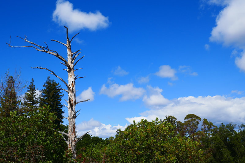
We walked the Redwood Trail heading southeast for 0.2 miles, enjoying not only more redwoods but more madrones mixed in along the way. We then connected with the Meadow Trail, which is where the scenery took a dramatic turn. Our tree cover changed to a wide open view of blue sky, puffy white clouds, and some very atmospheric skeletal trees adorning the way. The views of the landscape beyond the frame created by the tree line along the trail was captivating.
We love shady, forested walks, but suddenly coming into this open meadow area provided an enjoyable visual contrast. For the moderate 2.6 miles we walked, there was a nice mixture of scenery that kept us going.
I’m saving the end segment of this hike for another post featuring the Alambique Trail for its short nature-trail section leading back to the entrance. We’ll be back to explore other trails at Wunderlich Park in the future!
(Madrone Trail to Salamander Flat-Wunderlich Park Hike Notes were originally paired with the “Bright Patches” Insights post.)
Check the Home page for the broader background story. Click Insights/Hike Update News for inspiring reflections. Browse hikes on the main Hikes page or on the Hike Search by Area page, and scroll to the bottom of each hike page to see full photo galleries.
If you’d like to support HikingAutism, check out the Support/Shop page! Check out selected articles and interviews under Media. Click World Walks to see or share favorite family-friendly walks! Stay in touch with Lisa Louis and HikingAutism via Contact. The Links page lists a loose collection of helpful information links. Feel free to share and follow on Facebook at HikingAutism, follow on Twitter at @HikingAutism and Instagram at lisalouis777
