Phyllis Ellman Trail to Ring Mountain
(scroll to bottom for photo gallery)
Location:
Phyllis Ellman Trailhead, 5200 Paradise Dr, Corte Madera, CA 94925
Starting Point:
Phyllis Ellman Trailhead, 5200 Paradise Dr, Corte Madera, CA 94925
Park on the inland side right near the trailhead, or across the road by San Pablo Bay near the sign for Triangle Marsh Wildlife Habitat.
See map link below for parking mark at north end of Ring Mountain Open Space Preserve to start at the Phyllis Ellman Trailhead, or input “Phyllis Ellman Trailhead” in Google Maps.
Info links:
For all web links, if a link doesn’t jump directly, copy and paste into browser.
Ring Mountain Preserve information (Marin County Parks):
https://www.marincountyparks.org/parkspreserves/preserves/ring-mountain
Ring Mountain Preserve map link (Marin Country Parks):
https://www.marincountyparks.org/-/media/images/sites/marincountyparks/parkspreserves/preserves/ring-mountain/17_ringmtn-121314w.pdf
Another link to same map as above:
https://www.marincountyparks.org/~/media/f544bdff419b400896064894625983a8.ashx
[portions of these Hike Notes may also be found in earlier related post, Ring Mountain-Tiburon]
Distance:
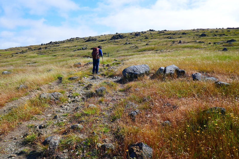
According to the Marin County Parks information, the Phyllis Ellman Trail loop is 1.76 miles. It isn’t long as the crow flies, but it is a steady upward climb on the ascent. The return trip is an easy downhill walk.
Considerations:
• Roadside parking. Pay attention to any posted parking rules.
• Poison oak: I’ve never seen such well-disguised poison oak as I saw here. Steer clear, and keep a scrub like Technu handy.
• Dogs on leash only.
• No toilet facilities.
• This is a popular rock climbing area. Have fun, but use caution.
• It’s always a good idea to check for ticks, especially after a walk in grassy areas.
The trail:
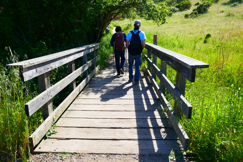
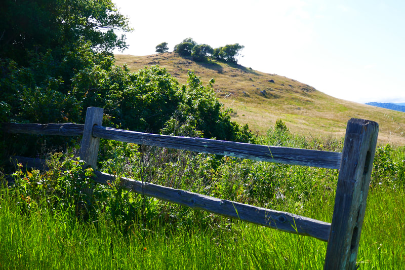
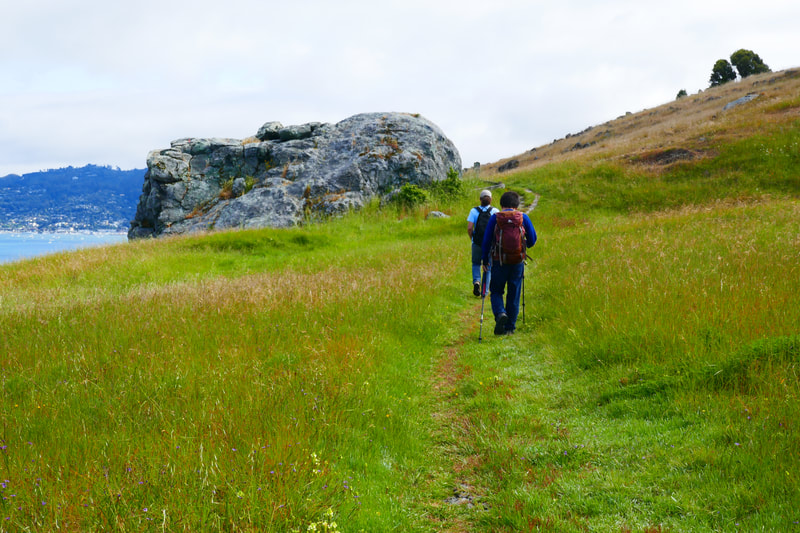
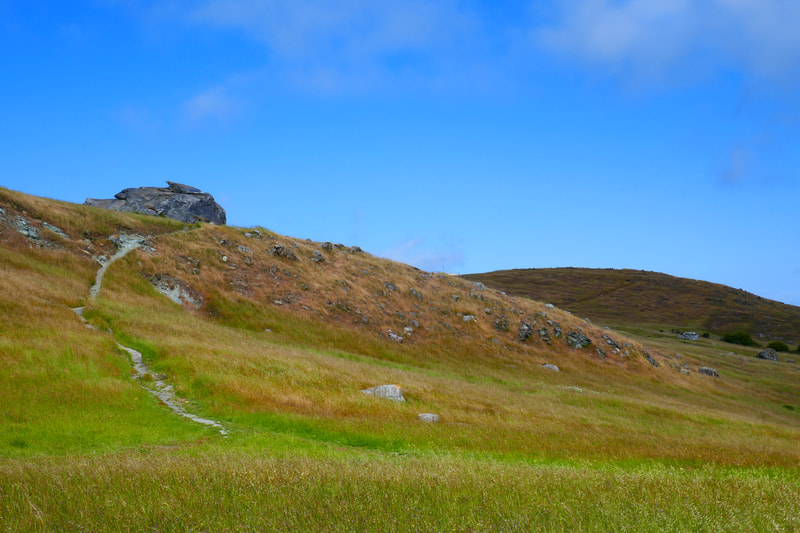
Unlike the lunar landscape feel of the top part of Ring Mountain from Taylor Fire Road on the Tiburon side, the walk up the Phyllis Ellman Trail features flowing grass, oak trees, and rock-strewn hills that bring up images of the Scottish Highlands.
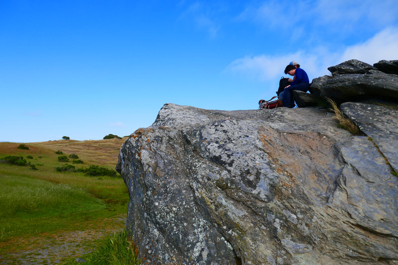
The popular rock formation Turtle Rock is at the top end of the Phyllis Ellman Trail loop. Petroglyphs marked on some of the boulders reflect Coast Miwok Indian activities dated at almost 2,400 years old.
Ring Mountain is also the site of some rare plants, including the Tiburon mariposa lily, which can be found nowhere else. Even the grassier Phyllis Ellman Trail side of Ring Mountain has striking minerals. Watch for big patches of lovely green serpentinite.
The views are stunning all around. You can see boats speeding across San Pablo Bay in front of the Richmond-San Rafael Bridge, or see the looming San Francisco skyline in the background with Treasure Island, Alcatraz and the Bay Bridge in view.
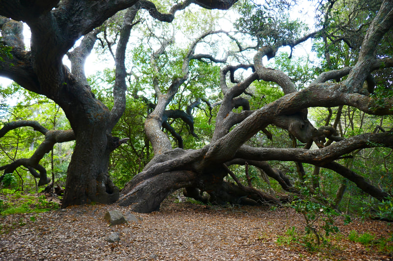
I love the grassy trails with rocky patches climbing up. I love the big open spaces with ancient rock formations to explore at the top. Perhaps most of all, I love the Tolkien-esque twisty trees hidden under shady patches of trees here and there in the tree covered stretches. There’s definitely some ancient tree magic on Ring Mountain.
You can make this a longer hike by looping out further to the sparser, rock formation areas, or you can save that as a separate walk for another day from one of the fire road trail entrances. (See previous post, Ring Mountain-Tiburon.)
(Phyllis Ellman Trail to Ring Mountain Hike Notes were originally paired with the “Stopped In Our Tracks” Insights post.)
Click Insights/Hike Update News for inspiring reflections. Browse hikes on the main Hikes page or on the Hike Search by Area page. Check out selected articles and interviews under Media. Click World Walks to see or share favorite family-friendly walks! Stay in touch with Lisa Louis and HikingAutism via Contact. See products with inspiring designs that support the efforts of HikingAutism under Support/Shop. The Links page lists a loose collection of helpful information links.
Check the Home page for the broader background story. If you’re not able to take one of these Northern California hikes, hopefully you can enjoy the photo galleries at the bottom of each hike page! Feel free to share and follow on Facebook at HikingAutism, follow on Twitter at @HikingAutism and Instagram at lisalouis777
