Interior Green Belt-Mount Sutro
(scroll to bottom for photo gallery)
Location: Interior Green Belt, Mount Sutro Open Space Preserve, San Francisco
Starting Point: Stanyan Trailhead, Stanyan near 17thStreet, stairway entrance
Info/Links:
For all web links, if a link doesn’t jump directly, copy and paste into browser.
Mount Sutro Open Space Preserve info link (UCSF):
https://www.ucsf.edu/about/locations/mount-sutro-open-space-reserve
Mount Sutro Open Space Preserve trail map link (UCSF):
https://docs.wixstatic.com/ugd/5492eb_f6b907ea1a16406c8904fa2b25cd72bb.pdf
Mount Sutro Open Space Preserve trail map link (PeasePress):
https://www.peasepress.com/sutromap.pdf
Also recommended:
Mount Sutro Forest info link with a variety of background and nature informatoin (mntsutro.com):
https://mntsutro.com
Distance:
There are many options for hiking on Mount Sutro. The hike shown in this photo gallery and described here starts at the Stanyan Trailhead at Stanyan Street near 17thStreet, goes along the Historic Trail, connects to the Fairy Gates Trail, crosses Medical Center Way, follows the North Ridge Trail to the peak, and then along the East Ridge Trail until reaching Johnstone Drive. A short walk down Johnstone to Behr Ave. reconnects to the Fairy Gates Trail and back to the Historic Trail to return to the Stanyan Trailhead stairway. According to the map I calculated from, this only added up to 1.66 miles. Having said that, there is a fair amount of climbing on moderately steep trail, so it feels more challenging than the actual distance would suggest.
Considerations:
•Though I have not been there to confirm availability, two maps show a restroom/toilet facility at the Aldea Center/Community Center.
•When parking on nearby streets, heed parking rule signs to avoid tickets.
• Bikes are allowed on some of the trails, and sometimes bikers ride in large groups. Hikers need to keep heads up for bikers going at a fast clip on narrow trails.
•The Stanyan Trailhead is a stairway entrance in a residential area, with signs requesting hikers be quiet near the trailhead.
•Be on alert for poison oak. It’s always good to have a scrub like Technu on hand.
•Layered clothing is always suggested. Hot sun and cold foggy wind intermix easily in the San Francisco area.
The trail:
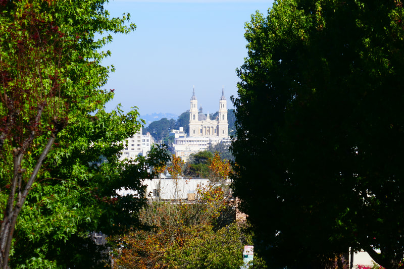
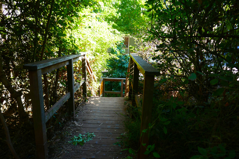
The stairway at the Stanyan Trailhead at Stanyan near 17thStreet is marked with a Ridge Trail marker (on our last visit). Signs request hikers to keep noise down as the opening stretch passes along residences. There is a good city view from the hill, including the scenic towers of St. Ignatius Church.
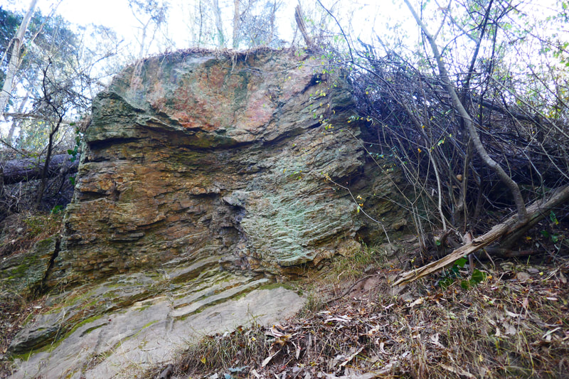
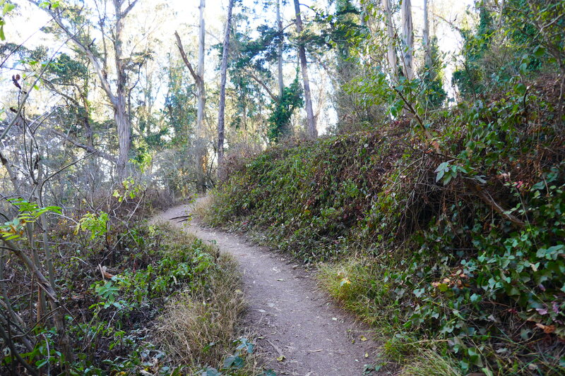
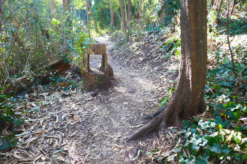
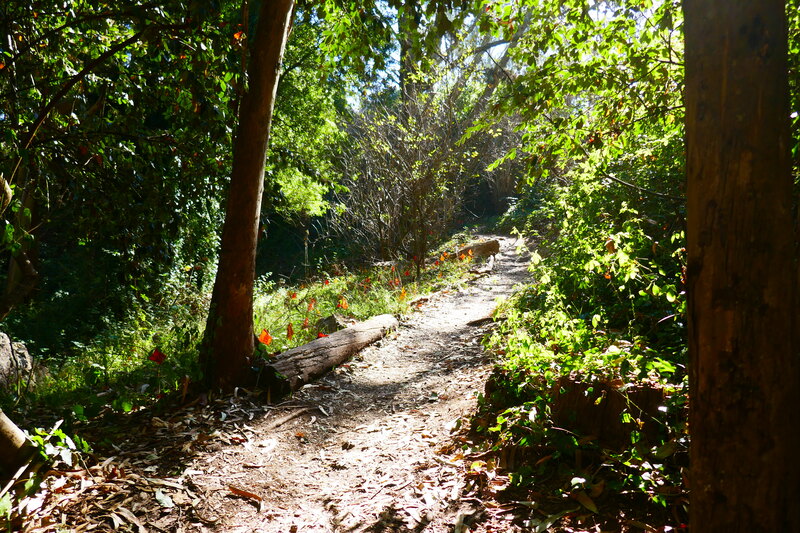
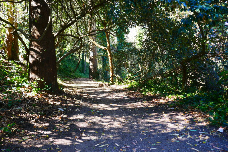
For this hike, the opening trail, Historic Trail, is the longest trail segment. The narrow dirt path rises and turns through a woodsy stretch. Eucalyptus leaves decorate much of the path. Watch for interesting rock formations along the Historic Trail.
When the Historic Trail reaches the junction of Edgewood and Fairy Gates, we turn left onto the Fairy Gates Trail connector and then turn right at the junction with the North Ridge Trail and walk along North Ridge to cross a paved road, Medical Center Way.
Though not extremely steep in any stretch, the Historic Trail and then the connectors up and over Medical Center Way involve fairly steady climbing, with a lot of twists and turns. Having access to a trail map, whether electronically or on paper, is a good idea. The trail signs are pretty well marked, but are best in reference with a map.
Once across the road, the trail rises and turns again. At one point there is a concave geological structure that usually has numerous offerings on display, a sort of stone altar shared by random fellow hikers.
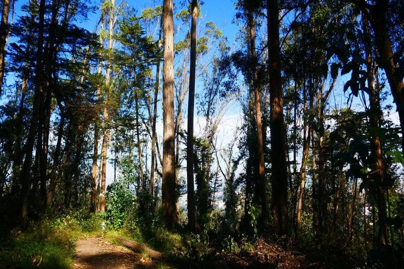
The tree cover starts to lighten toward the summit. After more climbing and turns of the trail, eucalyptus leaves covering a lot of the ground, hikers reach the summit area with fences and stone benches. We usually have a little snack break here.
From the summit area, we follow the East Ridge Trail down a switchback section of trail, with Sutro Tower in view through the trees, until we reach Johnstone Drive with the Aldea Housing Center in view.
A short walk down the paved road brings hikers to the intersection of Johnstone and Behr, at which point a trail and trail signs should be visible. Our route back to the trailhead includes walking the stretch of Fairy Gates Trail that we missed on the way up. There are more interesting rock structures, including what feels like a natural stone gateway, along this part of the trail.
Fairy Gates Trail intersects with North Ridge heading back to the summit, or makes its own right turn back toward the intersection with Historic Trail.
Head downhill, not uphill, along Historic Trail to get back to the Stanyan Trailhead.
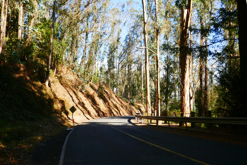
The trees are tall, making it hard for sunshine to get through even on a clear day, and the mountain itself blocks some light. A late afternoon walk on a dark day could be quite dark indeed, so plan your hike timing accordingly. (Interior Green Belt-Mount Sutro Hike Notes were originally paired with the “Through Dark Woods Wandering” Insights post.)
Click Insights/Hike Update News for inspiring reflections. Browse hikes on the main Hikes page or on the Hike Search by Area page. Check out selected articles and interviews under Media. Click World Walks to see or share favorite family-friendly walks! Stay in touch with Lisa Louis and HikingAutism via Contact. See products with inspiring designs that support the efforts of HikingAutism under Support/Shop. The Links page lists a loose collection of helpful information links.
Check the Home page for the broader background story. If you’re not able to take one of these Northern California hikes, hopefully you can enjoy the photo galleries at the bottom of each hike page! Feel free to share and follow on Facebook at HikingAutism, follow on Twitter at @HikingAutism and Instagram at lisalouis777
