Rockaway Beach to Pacifica State Beach
(scroll to bottom for photo gallery)
Location: We’re starting this hike from Rockaway Beach, Pacifica, CA, and taking the path to Pacifica State Beach (also known as “Linda Mar Beach”), Pacifica, CA. It is possible to do this walk in reverse as well.
Starting Point:For this post, our choice is to start from the Rockaway Beach parking area, which can be reached by taking CA Route 1 (Cabrillo Highway) and turning west on Rockaway Beach Ave. Take an immediate left on Old County Road, and follow that past the hotel building to the narrow road that leads to the Rockaway Beach parking area.
Info/Links:
For all web links, if a link doesn’t jump directly, copy and paste into browser.
Pacifica State Beach info link (California State Parks):
https://www.parks.ca.gov/?page_id=524
Rockaway Beach (and other Pacifica beaches: scroll down for Rockaway)info link (Pacifica Chamber of Commerce):
http://visitpacifica.com/index.php?page=13
Map links:
San Mateo Coast Beaches/Parks Brochure, map at bottom (California State Parks)
https://www.parks.ca.gov/pages/524/files/SanMateoCoastBeachesParksWeb2016.pdf
Distance:
It’s a little over 1 mile from the Rockaway Beach parking lot to the Pacifica State Beach parking area. This can be extended for a slightly longer walk by starting at the northern end of Rockaway Beach from San Marlo Way to the southern end of Pacifica State Beach (also known as Linda Mar Beach), which is marked by a paid parking lot, public bathrooms, and the landmark Taco Bell often used as a location reference.
Considerations:
• There are official parking areas for both beaches. The Pacifica State Beach parking lot charges a fee.
• There are toilet facilities by the parking area of both beaches.
• Be sure to bring sun protection and water. Even overcast days can cause bad sunburns.
• The connecting path between beaches includes a stretch alongside busy CA Route 1.
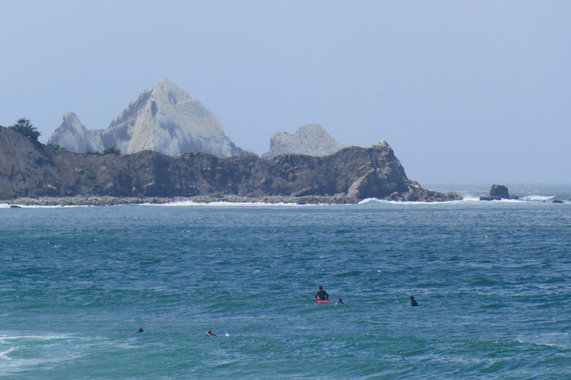
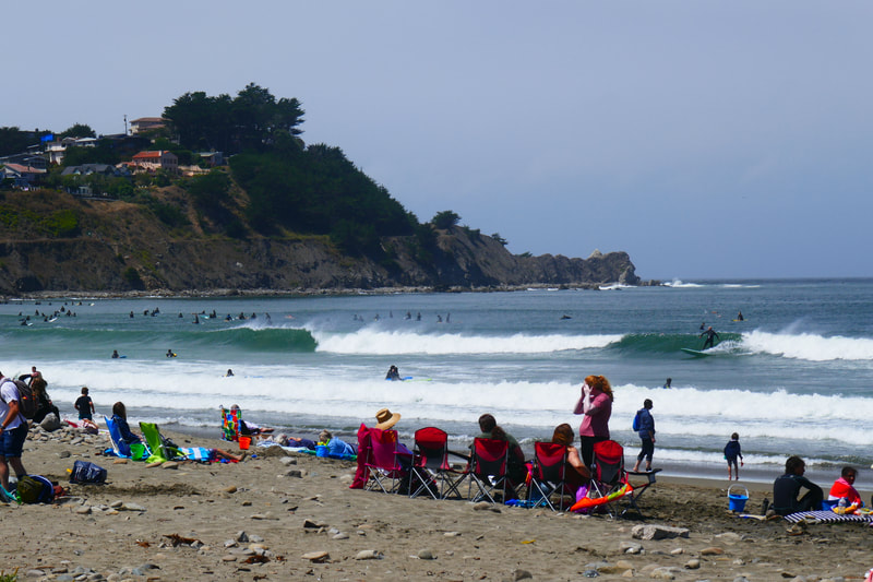
• These are both popular surfing beaches, and can be crowded at good surf times.
• Always heed warning signs at beaches. Be on alert for riptides and sneaker waves.
The Trail:
Pacifica occupies an elongated north-south line, bordered by mountains to the east and the Pacific Ocean to the west. It can be split into several sections starting with a portion of Mussel Rock Park at the north end and ending to the south with the Linda Mar area by the ocean and San Pedro Valley Park on the mountain side.
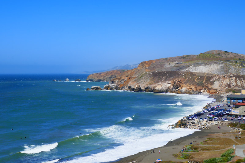
Rockaway Beach is south of Mori Point, and has its own parking area off Old County Road. As noted above, the walk can be extended by parking at the northern end off San Marlo Way. The parking lot right by Rockaway Beach has a toilet facility in a building at the base of the zigzag trail that leads up the hill facing south.
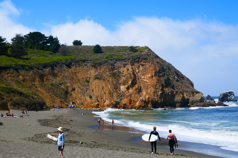
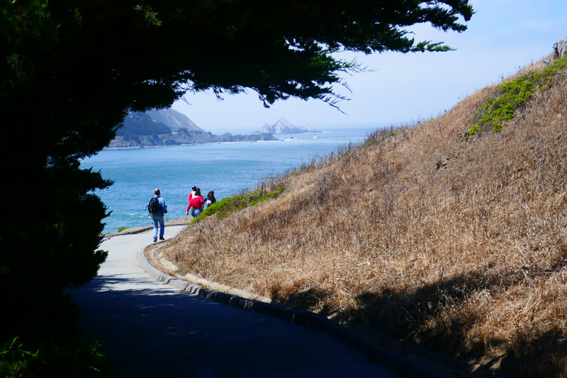
Rockaway Beach is a small beach often occupied by surfers and families with beach gear. Looking up the hill from the beach, hikers can see that there is a switchback paved trail, used by joggers, bikers, dog walkers, and couples with baby strollers. There is also a steep straight path option on the inland side, marked by benches at regular intervals. These benches are perfect for taking a break and gazing northward at parts of Pacifica and points beyond.
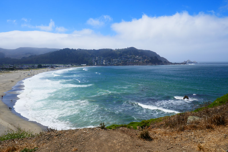
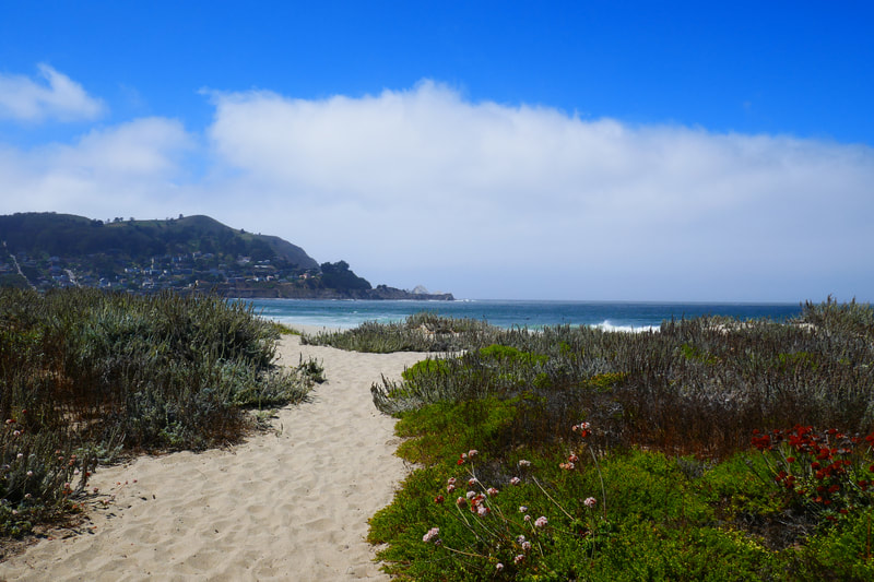
Neighboring Pacifica State Beach (also known as Linda Mar Beach) can be reached on foot by walking to the top of this zigzag pathway, and following the roadside paved path for a short distance until you’ve crested the hill and can see Pacifica State Beach and points south.
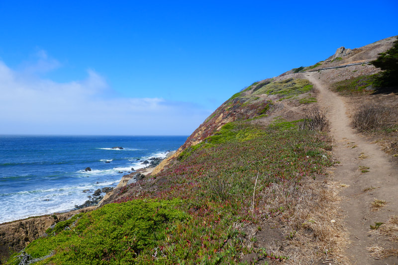
For those who like a smooth path, the paved path will keep you alongside CA Route 1 down to the beach. For those who like more natural trails, stay closer to the ocean side when the trail splits, and take the steeper sandy path down to the beach.
The north end of Pacifica State Beach has fewer people and offers great views of Pedro Point. As you walk further south, the number of people increases. It reaches peak density near the parking lot and iconic Taco Bell that is often used as a reference point when giving directions. This is a popular surfing spot, often for beginners taking lessons, so it can be quite crowded on the weekends.
The nearby shops across CA Route 1 off Linda Mar Blvd. offer various food options for those who want to stop to eat.
The return walk north offers different visuals, including a broad view from the hill above Rockaway Beach of the coast north to San Francisco and Marin County. Out-and-back walks offer scenery that can be appreciated from a different angle.
(Rockaway Beach to Pacifica State Beach Hike Notes were originally paired with the “Catch Your Wave” Insights post.)
Click Insights/Hike Update News for inspiring reflections. Browse hikes on the main Hikes page or on the Hike Search by Area page. Check out selected articles and interviews under Media. Click World Walks to see or share favorite family-friendly walks! Stay in touch with Lisa Louis and HikingAutism via Contact. See products with inspiring designs that support the efforts of HikingAutism under Support/Shop. The Links page lists a loose collection of helpful information links.
Check the Home page for the broader background story. If you’re not able to take one of these Northern California hikes, hopefully you can enjoy the photo galleries at the bottom of each hike page! Feel free to share and follow on Facebook at HikingAutism, follow on Twitter at @HikingAutism and Instagram at lisalouis777
