Rodeo Lagoon Loop – Marin Headlands
(scroll to bottom for photo gallery)
Location: Rodeo Lagoon in the Marin Headlands at the end of Mitchell Road (morphs from Bunker Road) near Fort Cronkhite. It can be reached from just north of the Golden Gate Bridge. Watch for signs leading to the Marin Headlands, either Bunker Road directly to the beach, or Bunker Road to McCullough Road to Conzelman Road to enjoy the view from my favorite one way cliff edge drive (head uphill from McCullough to drive toward Rodeo Beach; downhill takes you back to Golden Gate Bridge).
Starting Point: We like to start the loop from the Rodeo Beach parking area near Fort Cronkhite because it’s a handy spot with restrooms, information signs, and is a trailhead connection point.
Info links:
For all web links, if a link doesn’t jump directly, copy and paste into browser.
Rodeo Lagoon Valley info link (Golden Gate National Parks Conservancy):
https://www.parksconservancy.org/parks/rodeo-lagoon-valley
Rodeo Beach info link (Golden Gate National Parks Conservancy):
https://www.parksconservancy.org/parks/rodeo-beach
Marin Headlands Map link (National Park Service):
https://www.nps.gov/goga/planyourvisit/upload/map_mahe_150429_508_2021.pdf
Fort Cronkhite (starting area) Information and Map link (Golden Gate National Parks Conservancy):
https://www.parksconservancy.org/parks/fort-cronkhite
San Francisco to Fort Cronkhite MUNI bus info link:
https://www.parksconservancy.org/services/marin-headlands-express
Distance:
The Lagoon Loop Trail is 1.5 miles, but can be extended by adding a visit up the hill to the Marin Headlands Visitor Center, or exploring longer trails in any of several directions.
Considerations:
• Toilet facilities are available at the Rodeo Beach parking area near Fort Cronkhite.
• Watch out for poison oak, which not only can look like blackberry leaves to the uninitiated, but can be mixed in with them. Having a poison oak scrub like Technu handy is a good idea.
• The cliff areas above the beach on either end can be hazardous. Stay on trails.
• As beach wisdom goes, never turn your back on the ocean. We’ve been surprised by sneaker waves numerous times along the Marin coast.
• Heed health, wildlife and safety signs.
The trail:
If there’s such a thing as a place that feels like comfortable old shoes or a well worn favorite couch, Rodeo Beach is it for us. It’s not far from San Francisco, but requires driving across the Golden Gate Bridge—which I never get tired of—and winding one’s way through a tunnel and up and over or around hills. My favorite stretch of road is the downhill one way stretch of Conzelman Road that starts after connecting from McCullough Road up to the WWII tunnels and past Hawk Hill. The view facing toward Rodeo Beach and the open Pacific is glorious on a clear day, and mysterious when overcast.
Whichever route taken, our Lagoon Loop starts from the Rodeo Beach parking area near Fort Cronkhite. It’s always good to have the luxury of a toilet facility (also showers for surfers) available at the start of a hike.
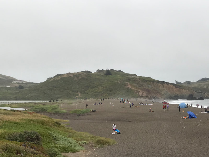
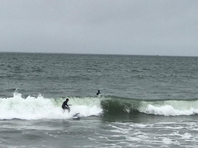
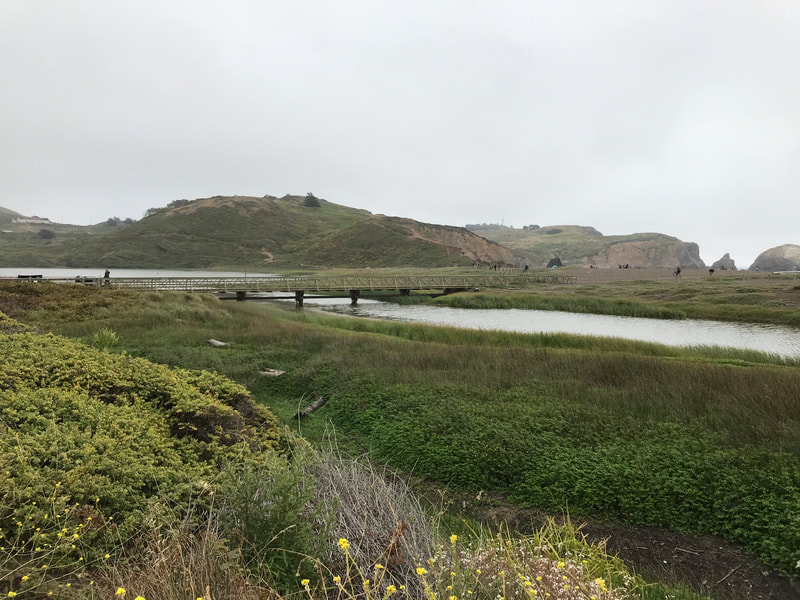
After scouting out the beach scene from Mitchell Road, we make our way down to Rodeo Beach proper and walk along the shore. This is something of a hidden treasure even at the busy times of the year, without ever feeling too crowded. The rock structures in view walking southeast along the beach are always interesting, and you can often watch surfers catching waves.
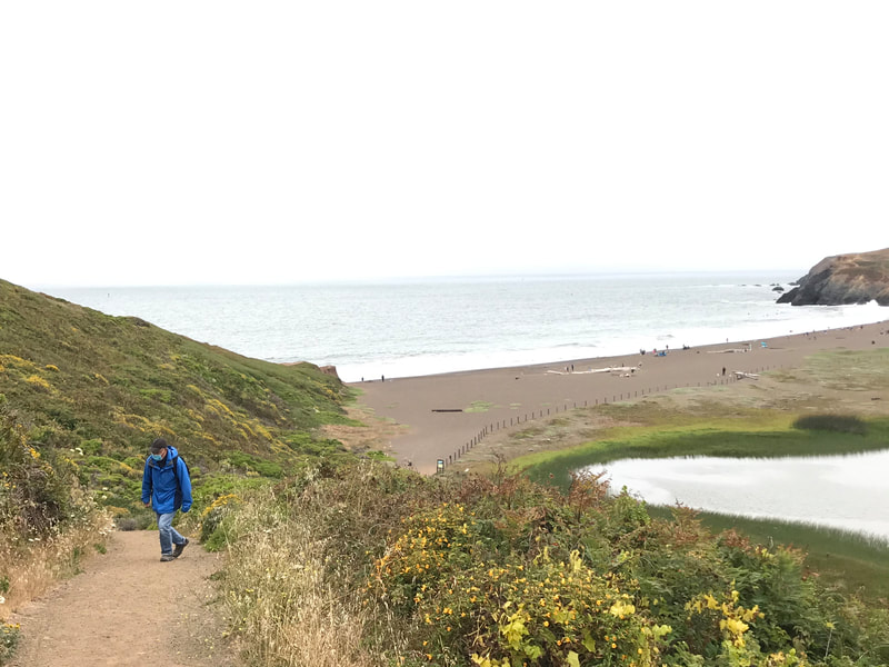
At low tide, it’s possible to explore the beach past the rocky cliff that marks the end of the main beach. To do the Lagoon Loop, however, head left uphill past the lagoon rather than straight forward along the cliffs parallel to the beach.
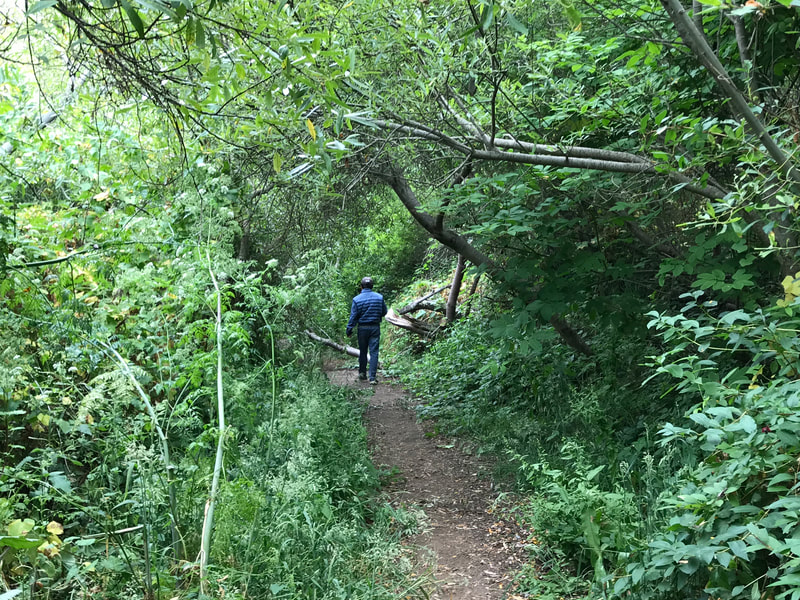
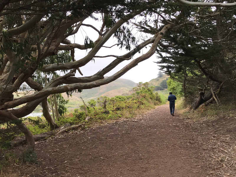
This stretch involves a moderate rise and occasionally dodging horse droppings. Blackberry bushes mix with poison oak along some stretches, so keep a sharp eye. Native plants and flowers cushion both sides of the trail in many areas. There is a tight “tree tunnel” stretch that is one of my favorite photo spots every visit.
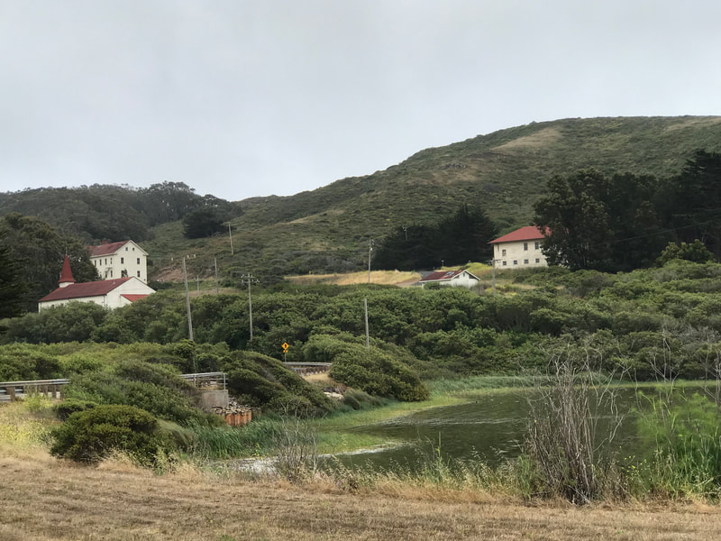
The trail opens up at one point, with a wide, open patch going slightly uphill along the south side of the lagoon. We’ve been tricked by that spot many times, and then remember to cut more sharply down to the left closer to the lagoon to keep following the Lagoon Loop Trail.
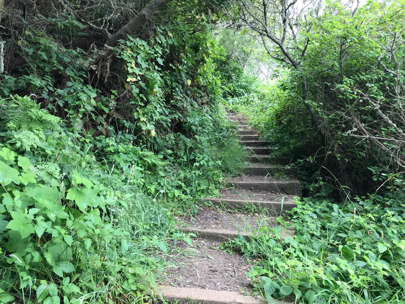
A favorite eucalyptus tree marks a feature spot of the trail after the dense tree tunnel stretch. Once past that, there is an option to go a short jag uphill to the Marin Headlands Visitor Center, which is a great place to visit (open status varies according health and safety considerations). It is somewhat easy to miss the actual Lagoon Loop Trail sign which indicates a sharp left down a stairway. If you get to the Visitor Center by mistake, go back down the hill a short way and look for the Lagoon Loop signpost.
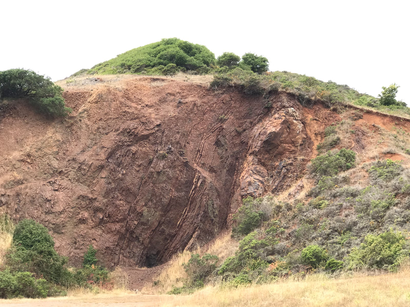
Wooden stairs and a walkway bordered by plants lead walkers out to Bunker Road. The Lagoon Loop hike requires some walking next to traffic along Bunker Road which then becomes Mitchell Road, leading along the north side of Rodeo Lagoon back to the starting point. One highlight of this stretch is an in-your-face example of the stark geological structures of the area in a roadside pull off. Visitors can add an extra bit of beach walking by taking the lagoon bridge across to the beach and then returning to the starting spot that way.
Other hikes in this area HikingAutism.com readers may enjoy include Battery Townsley,Hill 88 from Rodeo Beach, and Marin Headlands Visitor Center to Rodeo Beach.
The gallery photos for this hike are snapshots from an iPhone as I didn’t have my usual camera on hand.
(Rodeo Lagoon Loop – Marin Headlands Hike Notes were originally paired with the “Cool Gray Days” Insights post.)
Click Insights/Hike Update News for inspiring reflections. Browse hikes on the main Hikes page or on the Hike Search by Area page. Check out selected articles and interviews under Media. Click World Walks to see or share favorite family-friendly walks! Stay in touch with Lisa Louis and HikingAutism via Contact. See products with inspiring designs that support the efforts of HikingAutism under Support/Shop. The Links page lists a loose collection of helpful information links.
Check the Home page for the broader background story. If you’re not able to take one of these Northern California hikes, hopefully you can enjoy the photo galleries at the bottom of each hike page! Feel free to share and follow on Facebook at HikingAutism, follow on Twitter at @HikingAutism and Instagram at lisalouis777
