Steptoe Butte State Park Hike
Walk contributed by: Richard Landers
Walk/trail: Steptoe Butte State Park Hike, Palouse Region
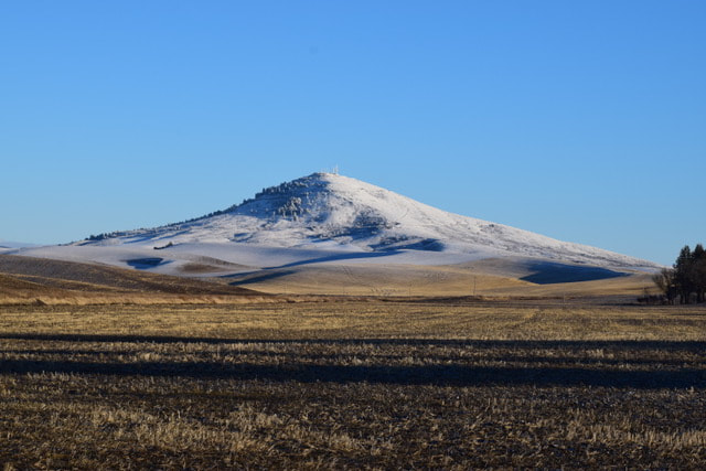
Location: Located in SE Washington State USA, in the heart of the Palouse Region, Steptoe Butte is the highest point in Whitman County. The hike to the top of the Butte starts at its base in the picnic and rest area of Steptoe Butte State Park & Heritage Site and follows the paved road up to the top of the Butte where a viewing area, informational displays and a restroom (outhouse) are located.
Walk distance: The round trip hike following the road is 6.4 miles and considered an easy to moderate hike. The steepest part of the hike is the beginning third.
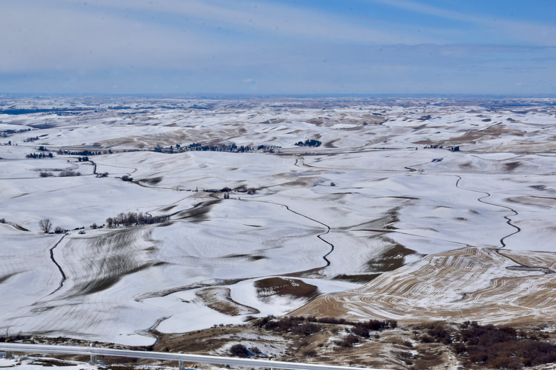
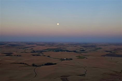
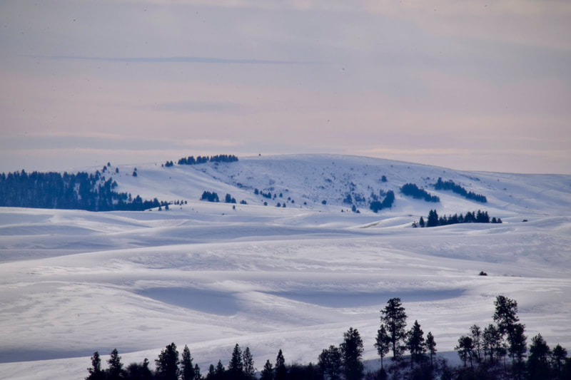
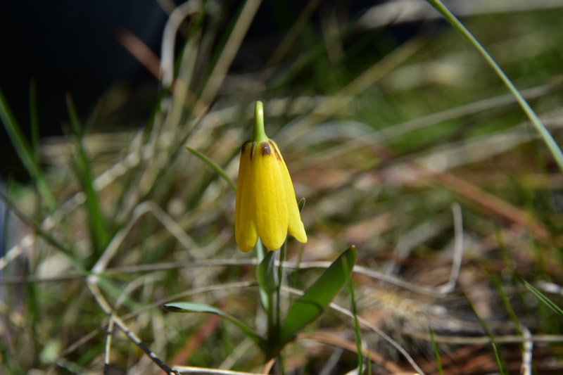
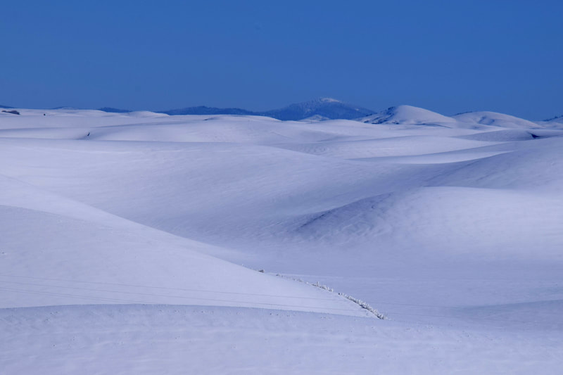
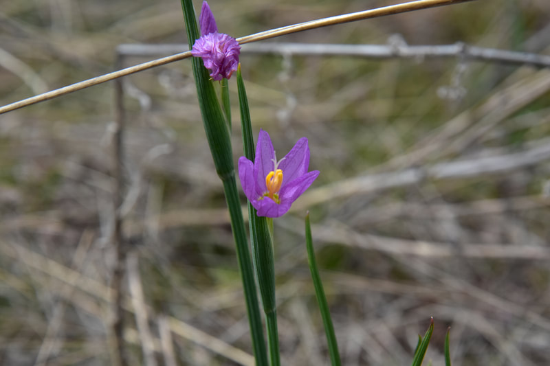
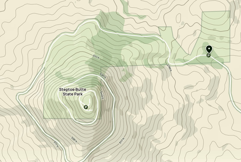
Highlights: The park road follows a path with state park land on one side and often private land on the other. A map is included that roughly shows where park land is. If you hike the butte in the spring take side trips into the hillside to find native wildflowers. Early spring wildflowers are small and harder to find but are unique and worth the effort. Another spring resident are ticks so be prepared. The Palouse has become popular with photographers and the views from the Butte attract many people during spring and summer months so it can get busy. Of course the views are available year around and the snowy winter scenes are amazing. One year around constant is the wind so if hiking in winter (the road is not plowed so don’t plan on driving to the top & bring snowshoes) be prepared for very cold temps as you climb higher and the wind blows harder. During a winter hike you will most likely have the place to yourself. Regardless of conditions at the base, as you make the nearly 1000 foot climb it will get windy and if not properly prepared frostbite could be an issue. The average hiking time is about 3 hours and that is without snow. Summer does get hot on the Palouse so bring plenty of water and a hat as there is little shade. A day fee or a Washington State Discover Pass is required and the park is dog friendly. If you are planning on visiting this year (2023) the state has scheduled road construction which will block access to the top so check the Washington States DOT website before planning your trip to Steptoe Butte. Getting there:
From Spokane WA & US-195 S, take the exit to get onto WA-271 South towards Rosalia and Oakesdale and turn left onto WA-271 S. Continue on WA-271 S for approximately 9.5 miles, then continue slightly right onto WA-27 S towards Oakesdale/1st St. In about half a mile, continue left on WA-27 South, following the sign for Steptoe Butte State Park. In around 0.7 mile, take a slight right over the railroad tracks to get onto Hume Rd, following another sign for Steptoe Butte State Park. In approximately 7.2 miles, take a right as indicated by the small green “Steptoe Butte” road sign. Continue on this road to reach Steptoe Butte State Park.
To find out more:
https://www.parks.wa.gov/592/Steptoe-Butte
Thanks to Richard for the share! Those who would like to see more of Richard’s nature photos and information about the amazing Palouse Region can check out his posts on Instagram @landers3050 (R Landers).
For more info and how to share your own walk, go to World Walks, where you can also browse the list of shared walks.
Click the HikingAutism Home page to get the broader background story. Click Insights/Hike Update News for inspiring reflections. Click Hikes and browse the list or check the Hike Search by Area for a summary of hike listings. Follow on Twitter at @HikingAutism
To receive hikingautism.com updates, click the HikingAutism Facebook page and click Like and/or Follow.
