Bass Lake
(scroll to bottom for photo gallery)
Location:Bass Lake, Point Reyes Seashore, west of Bolinas, CA
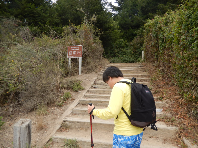
Starting Point:Start at the Palomarin Trailhead, from the Palomarin Trailhead parking area. From the western edge of Bolinas, take Mesa Road and follow it past the Point Reyes Bird Observatory to the end of the road, which is the trailhead parking area.
Info/Links:
For all web links, if a link doesn’t jump directly, copy and paste into browser.
Point Reyes National Seashore Guidelines for visiting Bass Lake/Alamere Falls (National Park Service):
https://www.nps.gov/pore/planyourvisit/alamere_falls.htm
Bass Lake info link (National Park Service):
https://www.nps.gov/thingstodo/hike-to-bass-lake.htm
Map links:
Point Reyes National Seashore map link (National Park Service):
https://www.nps.gov/pore/planyourvisit/maps.htm
Alamere Falls Map (with Bass Lake marked along that trail) map link (National Park Service):
https://www.nps.gov/pore/planyourvisit/upload/map_alamere_falls.pdf
For Google Maps or other map app of your choice: Search words: Palomarin Trailhead, Bass Lake, Bolinas, CA, Bass Lake, Point Reyes Seashore
Distance:
It is approximately 2.6 miles from the Palomarin Trailhead to Bass Lake, making for a slightly more than 5 mile round trip hike out and back. Adding a bit of wandering along the lake to get to the rope swing or lakeside hangout area, think of this as about 6 miles round trip.
Considerations:
• There is a parking area for the Palomarin Trailhead at the end of Mesa Road out of Bolinas.
• Bass Lake is a popular weekend hiking destination, as is Alamere Falls which is further up this trail. The parking lot gets full, meaning crowds and long roadside walks to get to the trailhead on weekends.
• Though there are some tree covered stretches, much of the Coastal Trail is under open sky. Bring sun protection and water.
• There are toilet facilities available at the Palomarin Trailhead parking area, but not elsewhere on the trail. (Not on site at Bass Lake or Alamere Falls, either.)
• Careful of poison oak. Technu or another scrub is good to have on hand. Long pants and shoes that cover feet well are better in light of the narrow trails with encroaching poison oak.
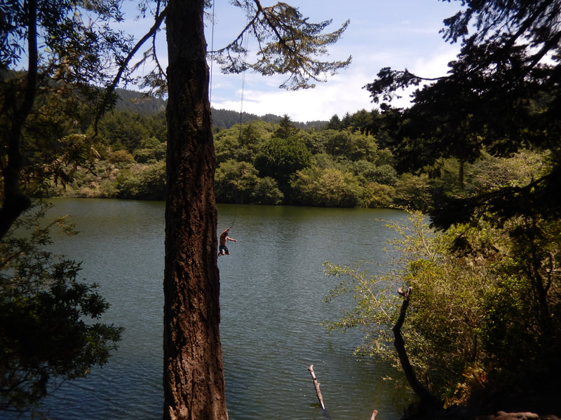
• There is usually a rope swing here. People have been hurt in the past. Use the rope swing and swim with other capable swimmers present, and use common sense for swimming safety.
• Sometimes used as a clothing optional swimming location.
The Trail:
The Bass Lake visiting experience probably feels quite different depending on whether you go when you have the place to yourself (weekday mornings, perhaps?), or when the trailhead parking lot is full and hikers park two miles down the road, getting a workout before they even reach the Palomarin Trailhead.
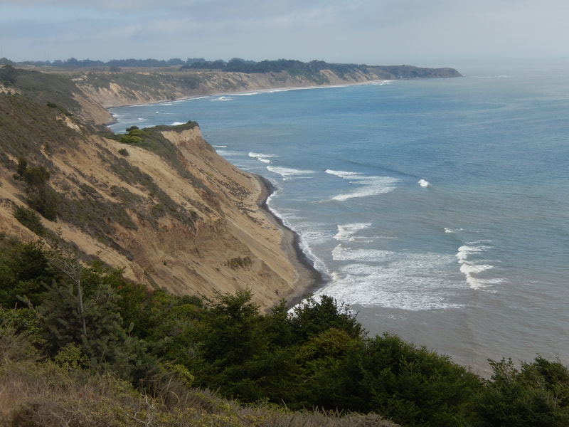
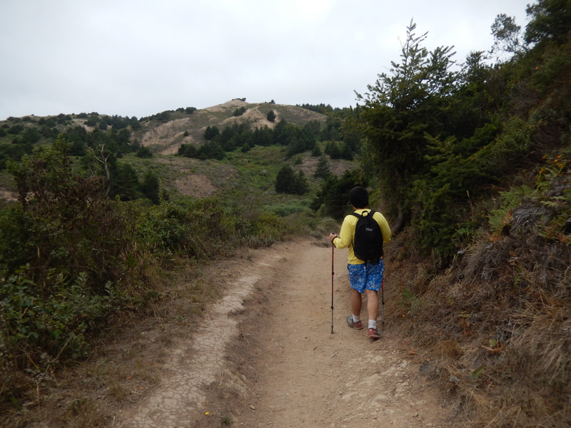
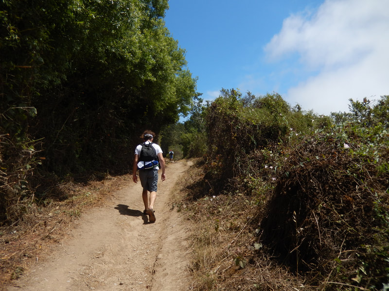
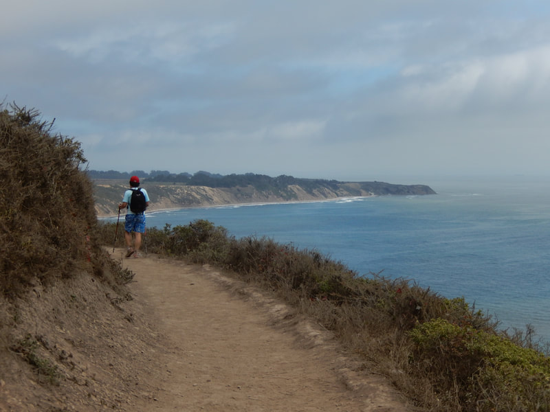
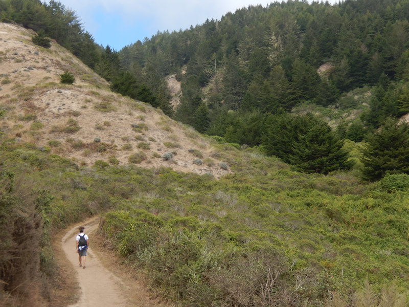
From the trailhead, there is a relatively short stretch of woodsy, tree-covered trail. In short order, this breaks into the open sky of the Coastal Trail as it hugs the Pacific heading northwest.
The coast views are stunning, whether sunny or overcast. Eventually there will be narrower trails with tree cover again. This is where hikers have to use extra caution with poison oak.
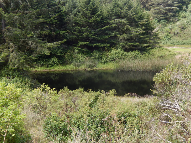
As can be seen from some maps, a pond in sight at the left is a signal that Bass Lake is coming up soon.
Turn left at the Bass Lake trail marker and follow the trail. Seeing a view of the lake on your left means you’re on the correct trail. It’s another stretch in this direction to find the trail to the lake’s edge, and is not as easy to see due to narrower trails and plant growth. (Again, heads up for poison oak.)
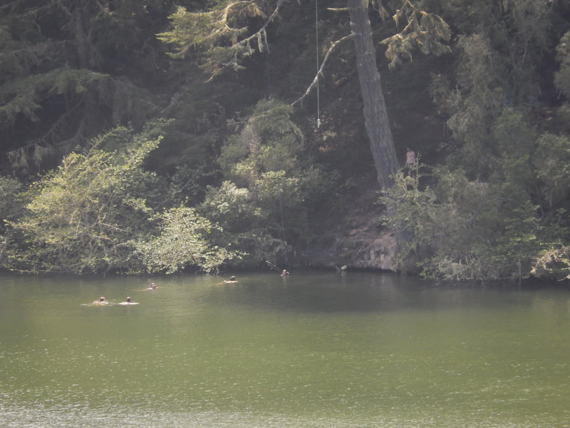
There is a clearing close to the lake where people sunbathe and picnic. The rope swing is a bit further beyond this area, attached to a large tree that stands out visually once you get past the main tree cover.
A quiet weekday visit meant we had the lake largely to ourselves. Even so, we had to wait for a group ahead of us before using the rope swing.
Safety first. Make sure to have a swimming buddy and know that someone is there to help if people have a mishap on the swing.
The return hike along the coast is equally beautiful as you face south heading back. The seashore cliff views are as much a part of this outing as the visit to the lake. Those who wish to do the well known Alamere Falls hike can think of Bass Lake as a midway marker on that longer hike.
(Bass Lake Hike Notes were originally paired with the “Take the Plunge” Insights post.)
Click Insights/Hike Update News for inspiring reflections. Browse hikes on the main Hikes page or on the Hike Search by Area page. Check out selected articles and interviews under Media. Click World Walks to see or share favorite family-friendly walks! Stay in touch with Lisa Louis and HikingAutism via Contact. See products with inspiring designs that support the efforts of HikingAutism under Support/Shop. The Links page lists a loose collection of helpful information links.
Check the Home page for the broader background story. If you’re not able to take one of these Northern California hikes, hopefully you can enjoy the photo galleries at the bottom of each hike page! Feel free to share and follow on Facebook at HikingAutism, follow on Twitter at @HikingAutism and Instagram at lisalouis777
