Devil’s Gulch
(scroll to bottom for photo gallery)
Location: Devil’s Gulch Fire Road and Camping Area, Sir Francis Drake Blvd., Lagunitas, CA
Starting Point: Unmarked parking pullout area one mile west beyond Camp Taylor in Samuel P. Taylor State Park, Sir Francis Drake Blvd., Lagunitas. Use caution crossing Sir Francis Drake Blvd. (cars come fast around the curves here) to the Devil’s Gulch Trailhead.
Info links:
For all web links, if a link doesn’t jump directly, copy and paste into browser.
Samuel P. Taylor State Park information link:
http://www.parks.ca.gov/?page_id=469
Samuel P. Taylor State Park Brochure and Map link:
https://www.parks.ca.gov/pages/469/files/SamuelPTaylorFinalWebLayout072715.pdf
Viewing Coho Salmon info link (National Park Service):
https://www.nps.gov/pore/planyourvisit/wildlife_viewing_cohosalmon.htm
Lagunitas Creek Watershed information link:
https://www.marinwater.org/177/Lagunitas-Creek-Watershed
Marin Watershed Information and Maps link:
https://www.marinwater.org/175/Directions-Maps-to-Watershed-Sites
Marin Watershed Fish Viewing information link:
https://www.marinwater.org/315/Fish-Viewing
Leo T. Cronin Salmon Fish Viewing information link:
https://www.marinwater.org/DocumentCenter/View/155/Directions_to_Leo_Cronin?bidId=
Marin Watershed Map link:
http://marinwater.org/DocumentCenter/View/5231/Watershed-Map-2-pages-PDF?bidId=
Distance:
Despite the situation I frequently encounter of some sites noting one leg of this hike being as short as 1 mile and as long as 2 miles, I believe that the walk illustrated in this photo gallery was a little over 1.2 miles out, and then back for a round trip of about 2.5 miles. This means the distance from the Devil’s Gulch Fire Road Trailhead to the point in the Devil’s Gulch Trail that hits a fence and gate indicating the end of State Park land, which stops at a place where the creek is dark and protected by lovely moss-covered trees. Check trail maps and the trail signs on site for connections to other area hiking sites. (Other nearby hikes covered by HikingAutism.com include: Lagunitas Creek Walk, Barnabe Peak from Madrone Camp, Pioneer Tree Trail, Olema Bolinas Ridge Walk, Kent Lake from Shafter Bridge)
Considerations:
• There is no parking fee for the roadside pullout parking across from the Devil’s Gulch Trailhead. Watch for cars coming fast around the corner when crossing Sir Francis Drake.
• Parking in the Samuel P. Taylor State Park parking area requires a small day pass fee, but may be a nice additional stop if visiting Devil’s Gulch, to also take some of the walks from their day parking area (including seasonal salmon viewing areas).
• Bathrooms were open at Devil’s Gulch on our visit, more modern building as well as pit outhouses. Open status subject to change according to health and safety status.
• Best luck for salmon viewing in this area is from around November to February, but the trails are beautiful any time of year.
• Pay attention to wildlife notices such as for mountain lions. We noticed a mountain lion tracking project camera on the trail.
• Be aware of the poison oak in any hiking area. Technu or another poison oak scrub comes in handy tubes.
The trail:
I’d been wanting to check out Devil’s Gulch (if only to find out why it has the spooky name) for quite some time, and figured December was a good time since that is salmon viewing season. Though we saw a big splash and sparkle in Lagunitas Creek near where we parked on Sir Francis Drake Blvd., we did not see any salmon in the creek along Devil’s Gulch, which was still running quite low on our visit.
Having crossed Sir Francis Drake safely despite speeding cars coming around the corners, we confirmed our location with the Devil’s Gulch sign marking the official trailhead of the Devil’s Gulch fire road and trail.
There is a wonderful variety of scenery in the short distance covered in this walk, so it felt more like two or three miles each way, but it is actually a relatively flat walk of not much more than a mile one way, with only slight ascents and descents to deal with.
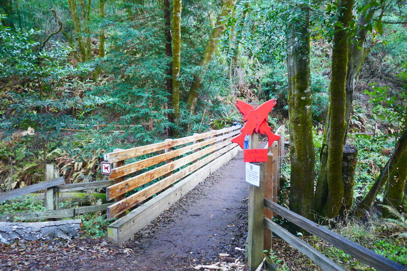
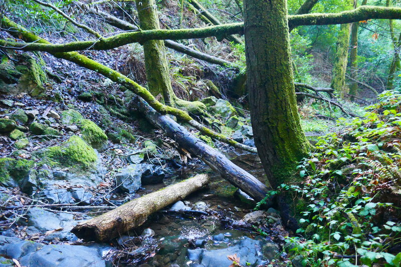
The pretty tree-tunnel road, lined by rustic wooden fences, leads walkers in toward the Devil’s Gulch campground. Rather than following straight in along the main road, we took the narrow, damp path down to the right that hugs the creek. This is a pretty green pathway with lots of moss covered trees and the creek running along side. This leads to the main section of Bill’s Trail and official salmon viewing areas, including an official red salmon viewing site sign on a small bridge. Across the bridge, we checked signs that said that Bill’s Trail was closed for salmon protection during our visit. There was a large redwood with open holes at the base, as well as a couple of very photogenic moss covered logs and trees in this area.
We made our way back up away from the creek toward the main Devil’s Gulch camping area. The small camping areas are marked by scattered picnic tables, with rustic outhouses up a short hill for those needing toilet facilities. We found the more modern toilet building closer to the trailhead when we returned later along the main fire road.
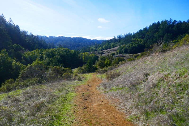
Once past the initial picnic tables and outhouse area, our path went back and forth through more wide open spaces with the pale gold rounded hills so characteristic of this part of Marin, turkey vultures flying overhead, and more sections of brush and trees to go through. Shaded parts of our path were encrusted in ice, which explained why we felt so chilly when starting our walk.
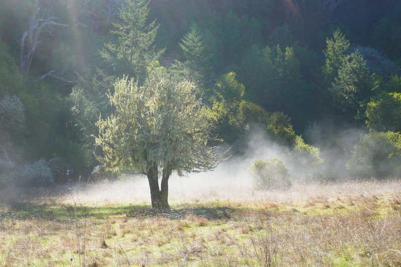
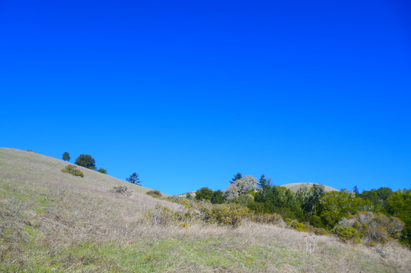
In and out between open patches and passing through more narrow areas, we found ourselves in a spot with the golden hills standing stark against the bright blue sky to our left, and the trees that cover the creek valley at a distance down to our right, waves of mist rising up from the ground and swirling as we hiked.
Rolling rises and falls in the trail lead walkers through more open space toward a more heavily wooded area, sparser moss covered trees standing out as highlights in the open space before entering the darker woodsy trails beyond.
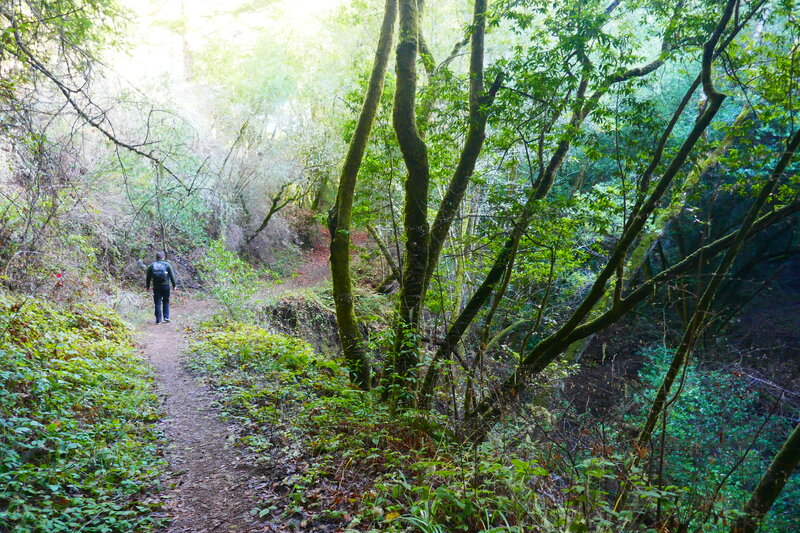
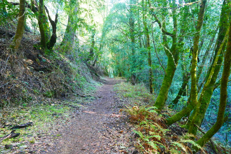
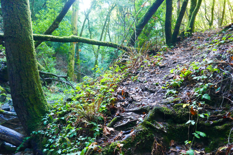
Once on the narrower trail past the main tree entrance, walkers find themselves blanketed by green mossy trees from the sides, and leaf-covered earthy trail underfoot. Despite the bright sunlight we knew was above, the trail could be quite dark in places even at midday.
We spotted a wildlife camera noted as being for a mountain lion tracking organization on one of the woodsier stretches of the trail. Hikers should be aware of the variety of wildlife in the area, including these larger predators.
Deep mossy twists and turns along stretches of trail that rise quite high above the creek offer a taste of some of my favorite features of hikes in Marin.
We didn’t have a clearly marked map or any clear trail markers to indicate when we were coming up to a logical turnaround spot, being somewhat cavalier as we knew that it was pretty much a straight in and out hike. As we were thinking to turn back, not knowing how much farther the trail went, our autistic son Sean yelled out, “Straight!” meaning he wanted to keep going. Smart young man. Within a short distance we hit the logical end of the trail for our purposes, a closed gate indicating the edge of state park land from what we could see.
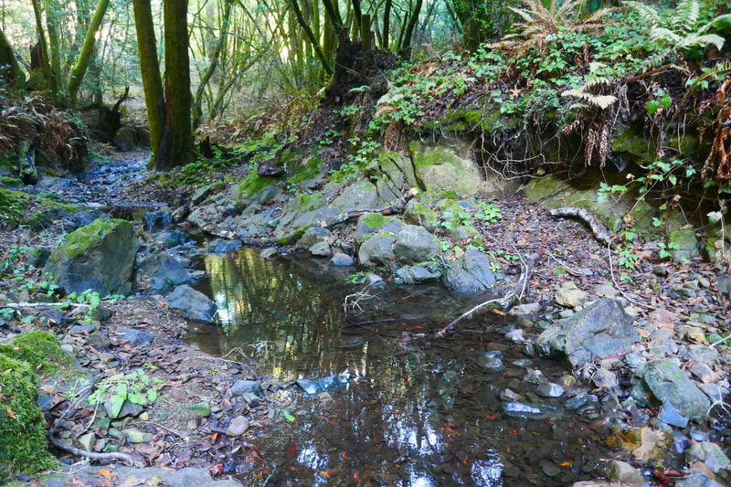
A short steep climb down to the creek here offered the prettiest, dark-water creek spot we’d seen on this walk. Was this where the devil of Devil’s Gulch hangs out? Despite the name, we did not find Devil’s Gulch to be a particularly spooky trail, though it certainly has its moody, dark stretches. The only spooky point for me was when a largish animal was rustling in the bushes just behind when I’d fallen behind the others to take more photos. I decided it was time to catch up with the group.
On the return trip, we stayed along the main fire road rather than taking the narrow creek path we’d started on. This took us past not only the main toilet building, but some horse camp facilities, though there were no horses. The walk back along the main fire road leading back out to Sir Francis Drake Blvd. has a civilized but comforting rustic feel with its combination of wooden fences on the creek side along the paved roadway to the trailhead gate. This was a great walk for enjoying the scenic Samuel P Taylor State Park drive along Sir Francis Drake, and having a varied-but-not-too-taxing hike on a cold day.
(Devil’s Gulch Hike Notes were originally paired with the “Light Through Dark Forest” Insights post.)
Click Insights/Hike Update News for inspiring reflections. Browse hikes on the main Hikes page or on the Hike Search by Area page. Check out selected articles and interviews under Media. Click World Walks to see or share favorite family-friendly walks! Stay in touch with Lisa Louis and HikingAutism via Contact. See products with inspiring designs that support the efforts of HikingAutism under Support/Shop. The Links page lists a loose collection of helpful information links.
Check the Home page for the broader background story. If you’re not able to take one of these Northern California hikes, hopefully you can enjoy the photo galleries at the bottom of each hike page! Feel free to share and follow on Facebook at HikingAutism, follow on Twitter at @HikingAutism and Instagram at lisalouis777
