San Bruno Mountain - Ridge Trail
(scroll to bottom for photo gallery)
Location: 555 Guadalupe Canyon Parkway, Brisbane, CA 94005
San Bruno Mountain Park is on windy Guadalupe Canyon Parkway on a high ridge in Brisbane, CA. On a map, you’ll see it just east of Daly City, just south of San Francisco, and about halfway between Route 280 and Route 101.
The connector roads onto Guadalupe Canyon Parkway can be tricky to find at a glance, so take a good look at a map to see how to get on the parkway. It is easy to miss the sign for San Bruno Mountain Park. It’s on the left if you’re driving eastward, and on the right if you’re driving westward.
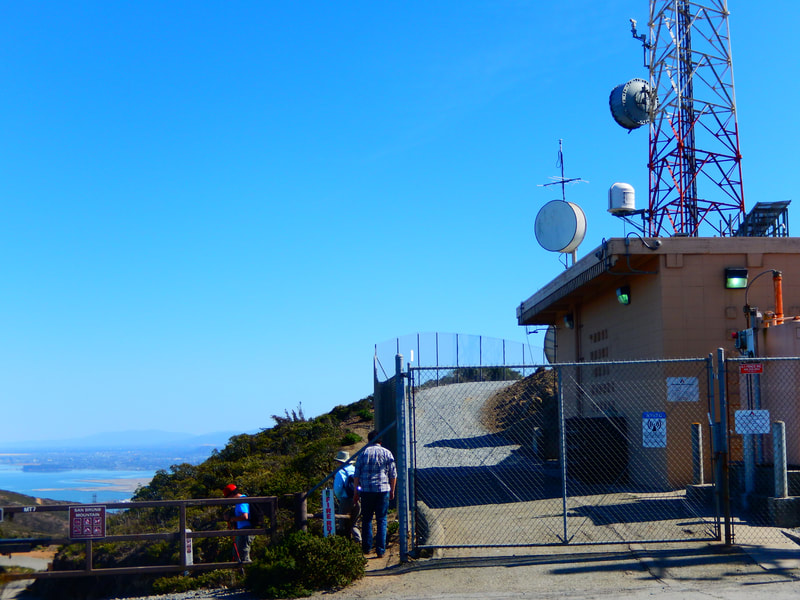
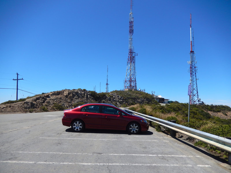
Starting Point: After paying the day pass fee at the entry gate, drive through the main parking lot under the tunnel and follow Radio Road as it winds its way up the hill to the radio tower. The parking lot here is available for hikers.
Info/Links:
There is a very handy trail map provided by the San Mateo County Parks organization. You can pick up a free brochure/map at the entry station near the automated entry fee machine. If you don’t need to keep the paper copy, drop it off again on the way out. Trail maps can also be viewed in links below.
For all web links, if a link doesn’t jump directly, copy and paste into browser.
San Bruno Mountain State and County Park info link:
https://parks.smcgov.org/san-bruno-mountain-state-county-park
San Bruno Mountain Park Ridge Trail info and map link:
https://parks.smcgov.org/ridge-trail
San Bruno Mountain Park Trails info link:
https://parks.smcgov.org/san-bruno-mountain-park-trails
San Bruno Mountain State and County Park map link:
https://parks.smcgov.org/sites/parks.smcgov.org/files/SanBrunoMtn-Sept2017-map.pdf
Distance:
The Ridge Trail info link notes the round trip hike on the Ridge from the summit parking lot and back as 4.8 miles. You can make that a shorter hike by walking a shorter distance out on the Ridge Trail, still with great views. You can also plan a longer hike by combining the Ridge Trail with another trail.
Considerations:
•Be sure to purchase your parking pass (a modest $6 on our last visit) at the main entrance even if you plan to drive past the main parking area up to the summit parking lot by the radio tower for other trails. The parking pass machine is at the main entrance.
• There are toilet facilities near the main (lower) parking area, in view of the picnic table area.
• Weather can be hot and dry as easily as it can be chilly and foggy. Layers are always a good option, and a water bottle and sunscreen are always good to have.
• The Ridge Trail can get very windy. If too blustery, you can always go back to the lower parking area and hike on a lower trail with tree cover.
• Keep an eye out for wildflowers in spring and summer.
• This is home to a number of protected butterflies: mission blue, bay checkerspot, and callippe silverspot.
• Beware of poison oak. A scrub like Technu is handy to have on any hike.
The trail:
San Bruno Mountain offers lots of hiking and jogging options, with numerous trail connections shown on the trail map.
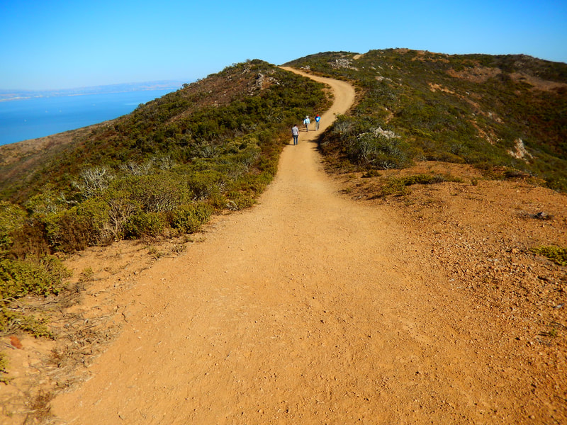
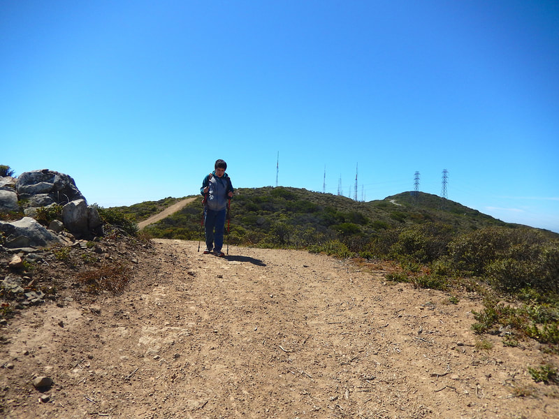
The Ridge Trail starts from the summit parking lot off Radio Road by the radio tower. The rocky chaparral pathway is lined with coyote brush and sometimes wildflowers.
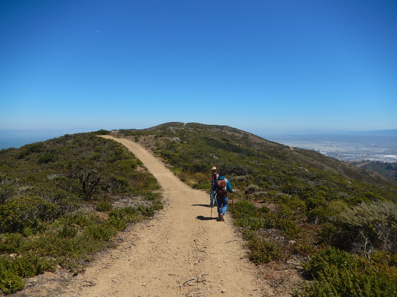
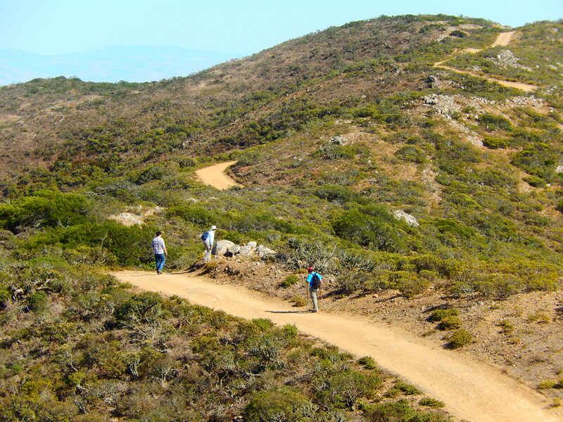
The Ridge Trail is high on the ridge, as indicated by its name, and is a clearly visible dirt path that also functions as a fire road. It is easy to follow as it wends its way outward for ever-better views in multiple directions.
There are some moderate ascents and descents along this path. Hikers who need a break can always stop and enjoy the views if one of the few moderately steep stretches gets a bit tiring.
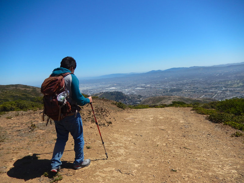
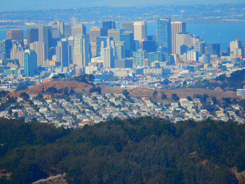
There are mountains in view to the west, the waters of San Francisco Bay to the east, San Francisco Airport to the south, and downtown San Francisco to the north. On a clear day, the visibility is amazing. On misty days, the ambience is still great.
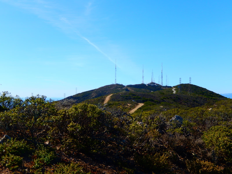
This is a winding out-and-back hike, with the views being enjoyable in either direction. The nice thing about this trail is that it’s hard to get lost as it is all in open clear view, and to get back to the parking area, you just look for the radio towers.
(San Bruno Mountain – Ridge Trail Hike Notes were originally paired with the “Forging Ahead” Insights post.)
Click Insights/Hike Update News for inspiring reflections. Browse hikes on the main Hikes page or on the Hike Search by Area page. Check out selected articles and interviews under Media. Click World Walks to see or share favorite family-friendly walks! Stay in touch with Lisa Louis and HikingAutism via Contact. See products with inspiring designs that support the efforts of HikingAutism under Support/Shop. The Links page lists a loose collection of helpful information links.
Check the Home page for the broader background story. If you’re not able to take one of these Northern California hikes, hopefully you can enjoy the photo galleries at the bottom of each hike page! Feel free to share and follow on Facebook at HikingAutism, follow on Twitter at @HikingAutism and Instagram at lisalouis777
