Oakwood Valley-Alta Trail
(scroll to bottom for photo gallery)
Location: Oakwood Meadow Trail Trailhead (noted asOakwood Valley Trail on some maps)on Tennessee Valley Road, Mill Valley, at the Golden Gate National Recreation Area sign indicating the start of the Tennessee Valley area. Across from shady area where the Rhubarb Trail starts.
Directions: From CA-1 in Mill Valley, get onto Tennessee Valley Road, and drive about a mile until you see the Tennessee Valley sign on the left. There is trailhead parking on either side of the road. Oakwood Meadow Trail starts on the side where the Tennessee Valley sign is. (Rhubarb Trail starts on the right side, where a small footbridge is visible under tree cover.)
Starting Point: Parking for the Oakwood Meadow Trail is along either side of Tennessee Valley Road near the Golden Gate National Recreation Area sign indicating the start of the Tennessee Valley area. Some maps note parallel trails named Oakwood Valley Trail. This hike starts with the trailhead a short distance southwest, and starts in an open field near the sign, rather than the narrow trailhead entry of the more northern trail.
Info links:
For all web links, if a link doesn’t jump directly, copy and paste into browser.
Oakwood Valley link (GGN Parks Conservancy):
https://www.parksconservancy.org/parks/oakwood-valley
Oakwood Valley Trail link (GGN Parks Conservancy):
https://www.parksconservancy.org/trails/oakwood-valley-trail
Map links:
Marin Headlands map (National Park Service):
https://www.nps.gov/goga/planyourvisit/upload/map_mahe_150429_508_2021.pdf
Distance:
From the Oakwood Meadow Trail trailhead on Tennessee Valley Road to the Alta Trail junction is about 1.3 miles.
From the Oakwood Valley Trail/Alta Trail junction to the Pacheco Fire Road junction is about 0.7 miles.
From the left turn off Alta Trail just past Pacheco, following an unmarked downhill trail back to Oakwood Valley Trail and the trailhead parking is about another 0.3 miles.
Total: Approximately 2.3 mile loop, some challenging hills
Considerations:
• Toilet facilities are available at the Tennessee Valley parking lot, an easy stop before or after the hike.
• Dogs are allowed on leash.
• Parking for the Oakwood Meadow/Valley Trail start is along the road. Park near the Golden Gate National Recreation Area sign for Tennessee Valley, left side of Tennessee Valley Road when driving toward the Tennessee Valley parking lot.
• Keep an eye out for poison oak. A scrub like Technu is good to have along, or at least at home.
• Weather changes easily. Layers, sun protection, and water are always good to have.
The trail:
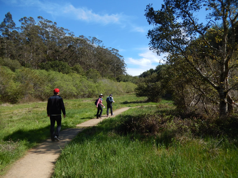
The Oakwood Meadow Trail (noted on some maps as Oakwood Valley Trail, being the lower/south trail of the two parallel Oakwood trails on the map) starts from the open field near the Golden Gate National Recreation Area sign for Tennessee Valley. (If you get to the Tennessee Valley parking area, you've gone past the trailhead.)
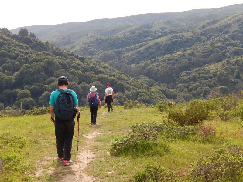
The trail starts out from the meadow, and then enters a woodsy path with oak trees and plenty of tree cover overhead. Watch for wildflowers in the spring and summer. A variety of bird and animal life also thrive in the area, including the occasional mountain lion sighting.
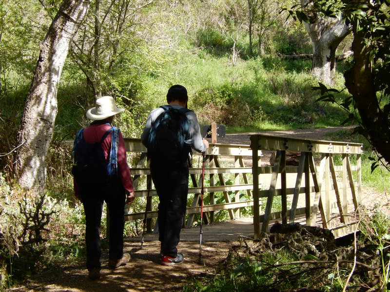
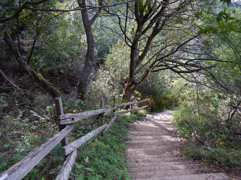
There is a small footbridge that connects over to the Oakwood Valley Trail, at which point they are a unified trail heading up toward the Alta Trail. The 0.6 miles from this junction to the Alta Trail junction includes a scenic stairway. There is a little left/right trail split near the top of the trail, which was not marked on my visits, but taking the path to the right is the Oakwood Valley Trail which soon connects to the Alta Trail.
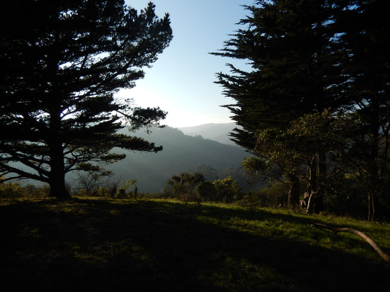
The last upward push to the Alta Trail brings hikers to a crest with good views in all directions, especially toward Richardson Bay and Tiburon. The Alta Trail is more of an open fire road, and does not have tree cover in most places. Sunblock and wind protection may be in order.
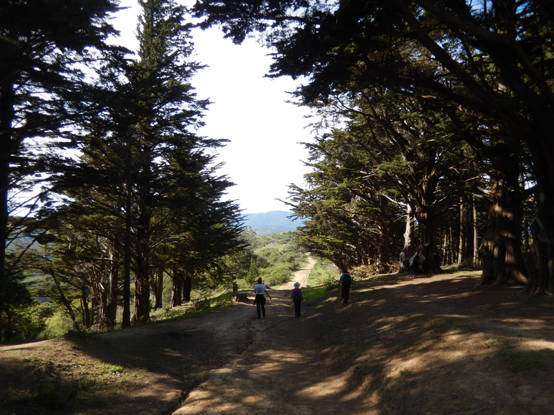
This hike takes hikers northwest with Richardson Bay in view to the right, rather than heading southeast. There is a stretch which has forested areas on either side, and makes for scenic photos.
Hikers will pass the connection to the Orchard Fire Road on the right, and later the connection to the Pacheco Fire Road on the right.
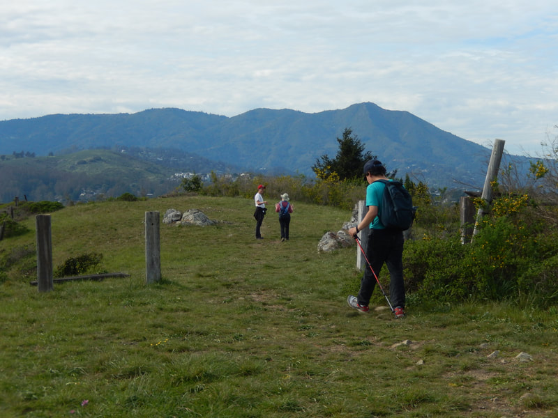
Shortly after the Pacheco Fire Road junction, the Alta Trail continues forward, but there is a lesser trail that splits off to the left. This can be a bit fuzzy to figure out, but when industrial signs come into view, it is time to find the trail opening to the left. Turning left toward the fences and stones with the east peak of Mt. Tam in view means you’re going in the right direction.
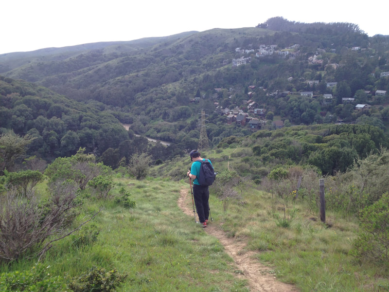
From here, the path is narrower and rougher, more akin to the cow paths I grew up around than a full trail. There is a fairly steep descent, with houses and the parking area coming into view below.
This lesser trail connects to the Oakwood Valley Trail and leads back out to Tennessee Valley Road. It is just a short distance further along Tennessee Valley Road to reach the parking area which has picnic tables and toilet facilities.
(Oakwood Valley – Alta Trail Hike Notes were originally paired with the “Unmarked Trails” Insights post.)
Click Insights/Hike Update News for inspiring reflections. Browse hikes on the main Hikes page or on the Hike Search by Area page. Check out selected articles and interviews under Media. Click World Walks to see or share favorite family-friendly walks! Stay in touch with Lisa Louis and HikingAutism via Contact. See products with inspiring designs that support the efforts of HikingAutism under Support/Shop. The Links page lists a loose collection of helpful information links.
Check the Home page for the broader background story. If you’re not able to take one of these Northern California hikes, hopefully you can enjoy the photo galleries at the bottom of each hike page! Feel free to share and follow on Facebook at HikingAutism, follow on Twitter at @HikingAutism and Instagram at lisalouis777
