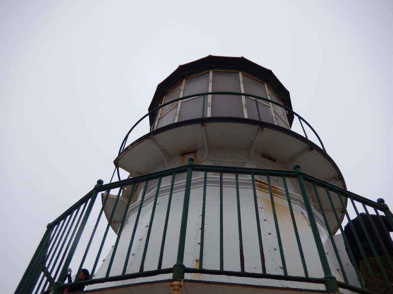
Point Reyes Lighthouse
(scroll to bottom for photo gallery)
Location: Point Lighthouse Visitor Center, 27000 Sir Francis Drake Blvd., Inverness, CA 94937
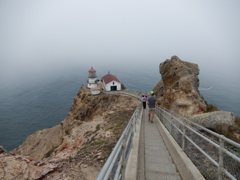
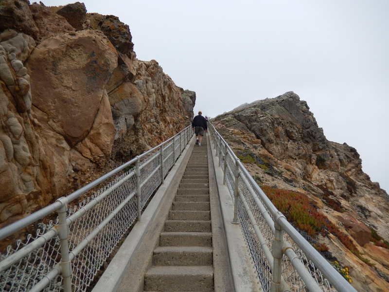
Starting Point: Point Reyes Lighthouse Public Parking, approximately 0.45 miles walk to get to the lighthouse, which is reached by climbing down 313 steps.
Info links:
For all web links, if a link doesn’t jump directly, copy and paste into browser.
Point Reyes Lighthouse info link (National Park Service):
https://www.nps.gov/pore/planyourvisit/lighthouse.htm
Point Reyes Lighthouse alerts and history link (National Park Service):
https://www.nps.gov/pore/learn/historyculture/people_maritime_lighthouse.htm
Point Reyes winter season shuttle bus info (National Park Service):
https://www.nps.gov/pore/planyourvisit/shuttle.htm
Point Reyes winter season road closure/shuttle map (National Park Service):
https://www.nps.gov/pore/planyourvisit/upload/map_shuttleclosure.pdf
Point Reyes Lighthouse link to assorted Point Reyes maps (National Park Service):
https://www.nps.gov/pore/planyourvisit/maps.htm
Point Reyes Lighthouse area map link (National Park Service):
https://www.nps.gov/pore/planyourvisit/upload/map_lighthouse_area.pdf
Distance:
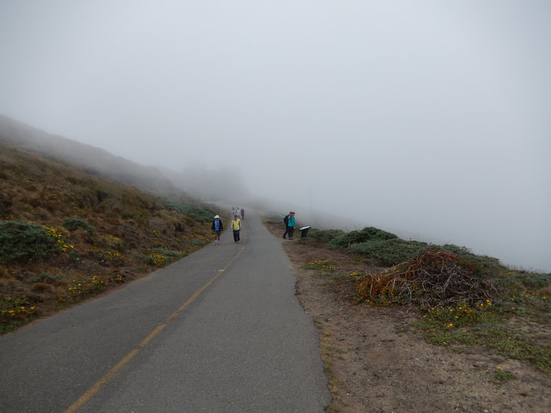
The walk from the Point Reyes Lighthouse visitor parking area/shuttle stop to the Lighthouse Visitor Center is a rising incline of just under half a mile. Reaching the lighthouse itself involves walking down 313 steps. That means walking back up 313 steps. (Returning to the parking area is downhill!)
Considerations:
• Toilet facilities are available at the parking area, and at the garages about 100 yards before reaching the Lighthouse Visitor Center. Make use of those before getting 313 steps down to the lighthouse, where there are no toilet facilities.
• The parking area does not have that many official parking spaces, but parking along the road is allowed if pulled far enough off the road to allow cars to pass.
• The road to the lighthouse is closed in winter, from December to March or April, due to heavy traffic for whale watching. See the shuttle bus link above for how to reach the lighthouse during this popular season.
• Many destinations in Point Reyes, including the lighthouse when it is accessible by road, are far from gas stations and food services. Fill up your gas tank and bring your own snacks.
* Point Reyes can be quite windy. When the wind reaches a certain level, the stairs to the lighthouse are closed for visitor safety.
* Changeable weather also means that dressing in layers, using sun protection, and having water are advised.
• Cell phone reception is minimal in this area.
• Check the information links above for various alerts, including road closures. Point Reyes is beautiful because it is wild, which often means there are temporary obstacles to visiting certain areas.
The trail:
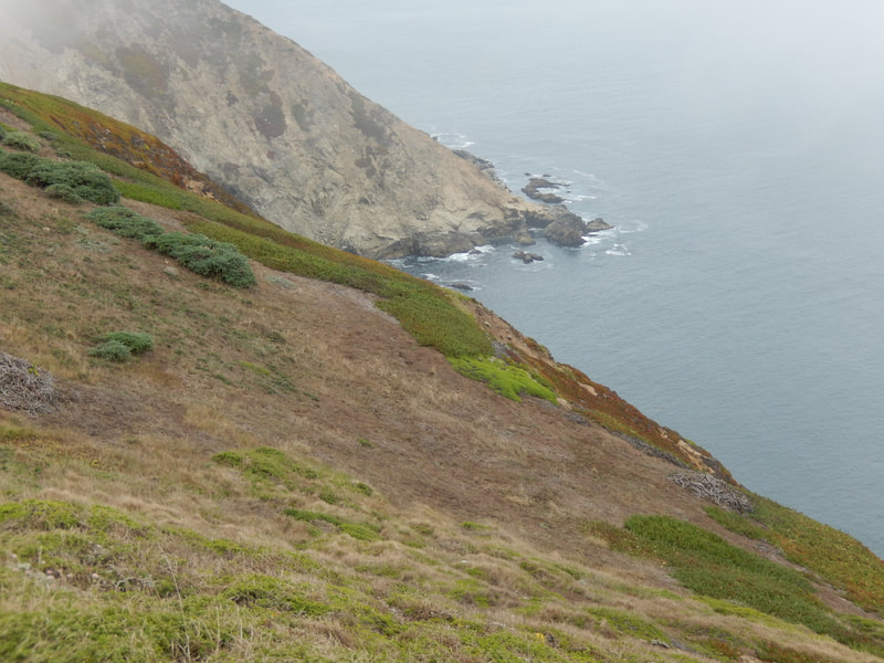
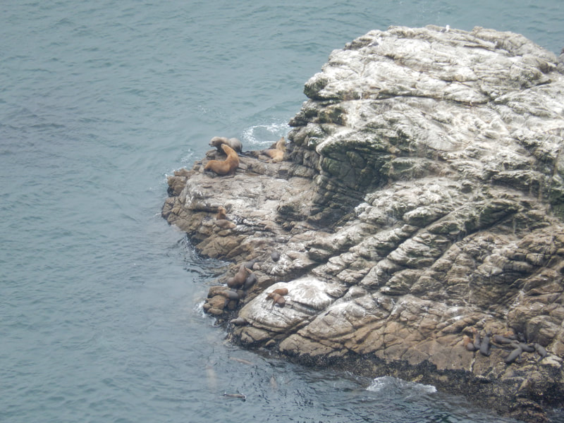
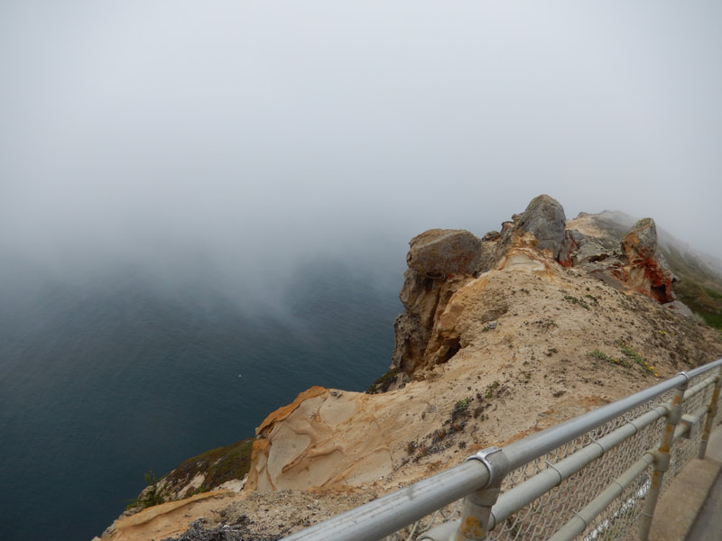
The walk from the parking area to the Point Reyes Lighthouse Visitor Center is less than half a mile, but is somewhat of an uphill walk. Before taking the road walkway to the visitor center, wander up footpaths from the parking area that offer views down to the water, including rocks with lounging sea lions (other marine mammals may also hang out on these rocks, but they were sea lions on our visit).
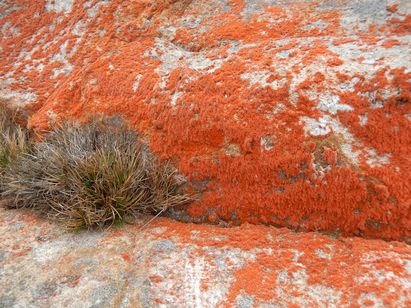
Even on a misty gray day, the rocky shoreline and geological formations along the road to the visitor center are visual treats. There are some interesting lichen and other hardy unusual plants that survive clinging to the rocks in the windy, wet weather.
Those with fear of heights might be slightly unnerved by the narrow stairway path along the steep rocky outcropping that ends at the Point Reyes Lighthouse. The lighthouse itself underwent renovations since our visit, so probably looks a little less rust-marked than in the photo gallery.
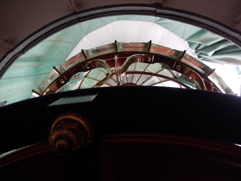
The lighthouse itself offers an opportunity to see the largest size Fresnel lens. Take the time to step inside the lighthouse and see the inside view of this piece of historic technology.
Walking back up the stairs is the challenge going back. The stairs aren’t that steep, but there are over 300 to climb. Enjoy the colorful plants—some of which look like part of an underwater scene—that cling to the rocks as you ascend.
The total walking distance isn’t that far for a visit to the Point Reyes Lighthouse, but the stairs add some extra exercise. As is the case with any destination in Point Reyes, the drive or shuttle ride getting there is a key part of the excursion, with the opportunity to absorb Point Reyes scenery on the way.
(Point Reyes Lighthouse Hike Notes were originally paired with the “Seeing Past the Confusion” Insights post.)
Click Insights/Hike Update News for inspiring reflections. Browse hikes on the main Hikes page or on the Hike Search by Area page. Check out selected articles and interviews under Media. Click World Walks to see or share favorite family-friendly walks! Stay in touch with Lisa Louis and HikingAutism via Contact. See products with inspiring designs that support the efforts of HikingAutism under Support/Shop. The Links page lists a loose collection of helpful information links.
Check the Home page for the broader background story. If you’re not able to take one of these Northern California hikes, hopefully you can enjoy the photo galleries at the bottom of each hike page! Feel free to share and follow on Facebook at HikingAutism, follow on Twitter at @HikingAutism and Instagram at lisalouis777
