Dipsea Trail from Pantoll
(scroll to bottom for photo gallery)
Location: Pantoll Campground parking area, Mount Tamalpais State Park
Starting Point: Pantoll parking area, 6456 Panoramic Highway, Mill Valley, CA 94941
Info links:
For all web links, if a link doesn’t jump directly, copy and paste into browser.
For online map application searches, input “Pantoll Campground Parking”
Mount Tamalpais State Park info link (CA State Parks):
https://www.parks.ca.gov/?page_id=471
Muir Woods and Vicinity Trail Map (National Park Service):
https://www.nps.gov/goga/planyourvisit/upload/map-muwo-trail-2019-small.pdf
Mount Tamalpais brochure with map (California State Parks):
https://www.parks.ca.gov/pages/471/files/MountTamalpaisSPFinalWebLayout110816.pdf
Distance:
The full Dipsea Trail from Mill Valley to Stinson Beach is variously noted as being seven miles to nine miles. It is famous for a running race, that includes many stairs in one section.
One of my favorite Mt. Tam hikes is the just under 4 mile loop from Pantoll Campground down to the Dipsea Trail, and then back up via the Steep Ravine Trail.
This post covers only the Pantoll to Dipsea Trail and up to the connection with the Steep Ravine Trail, which will appear in a separate post.
There are a couple of options to get from Pantoll Campground to the Dipsea Trail. The Old Mining Trail to the Dipsea Trail is 0.6 about miles. Another option is to start at Pantoll and go 0.6 miles on the Stapelveldt Trail and then 0.4 miles on the TCC Trail for a combined 1 mile connector to the Dipsea Trail.
From the Old Mine Trail connection with Dipsea, it is another 1.5 miles to the Steep Ravine Trail. Add another 0.1 mile or so if you choose the Stapelveldt/TCC route.
Considerations:
• Check health and safety updates for facility and trail openings and closings (such as via the info link noted above).
• Mt. Tam trailheads and parking are very popular, especially on weekends. Arriving early or hiking on weekdays are good ways to avoid weekend jams.
• The Pantoll Campground parking area has toilet facilities (subject to change as noted above).
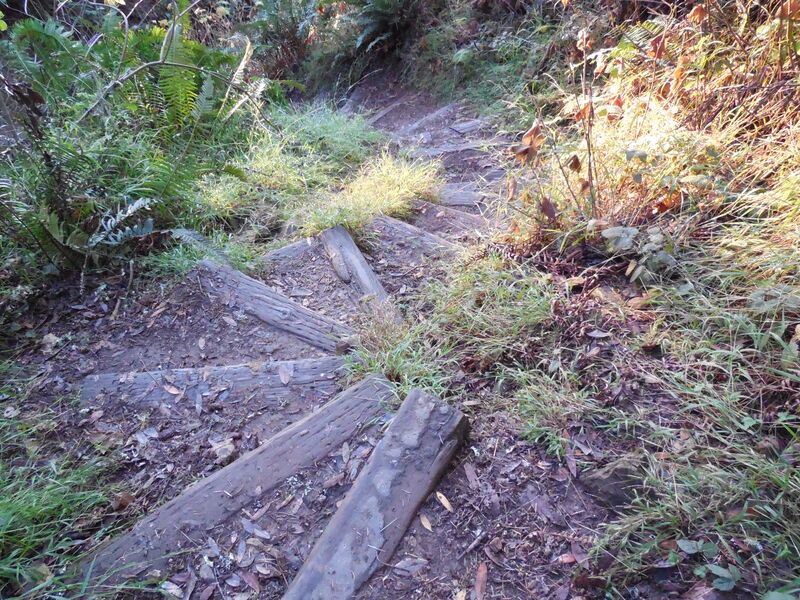
• There are narrow stairs and some steep sections along parts of this section of the Dipsea Trail.
• The Dipsea Trail’s popularity means making space on the trail in narrow spots at busy times, especially weekends.
• Heed trail safety and wildlife signs.
• Watch out for poison oak on any hike. Having a scrub like Technu handy is a good idea.
The trail:
The Pantoll-Dipsea-Steep Ravine hike loop is a Mt. Tam classic. I figured that out after seeing an entrancing photo of a dark woodsy trail with a creek and a steep ladder, the signature photo spot on the Steep Ravine Trail. That was on my to do list, and then the Dipsea connection fell into place.
Starting from the Pantoll Campground parking area, there are a couple of good options to connect down to the Dipsea Trail.
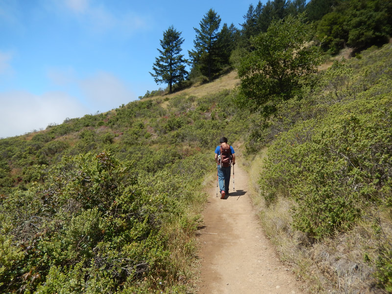
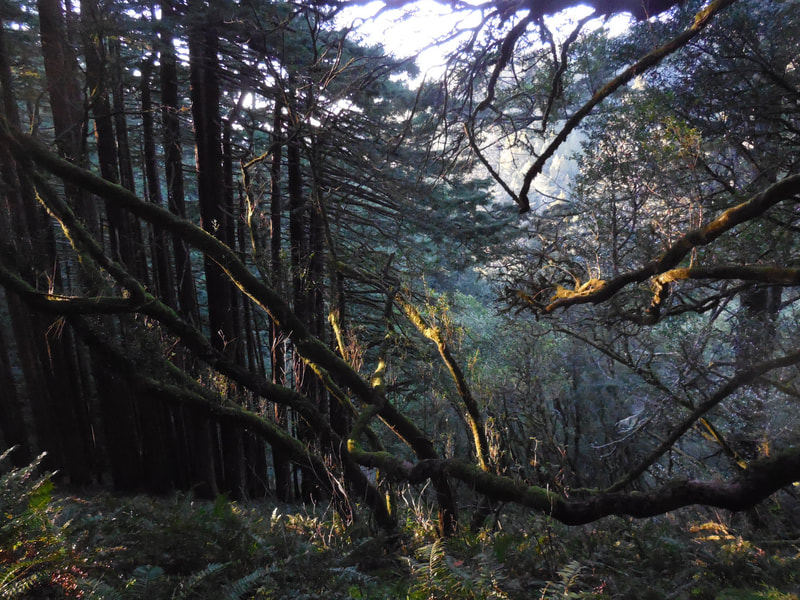
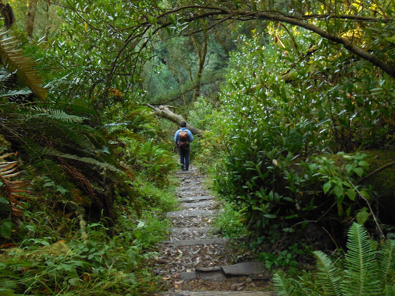
The Old Mining Trail to the Dipsea Trail is 0.6 about miles. This is a lightly wooded, somewhat civilized feeling trail with wooden fences lining reasonably well groomed trails, and only moderate grades to navigate. The other option is to start at Pantoll and go 0.6 miles on the Stapelveldt Trail and then 0.4 miles on the TCC Trail for a combined 1 mile connector to the Dipsea Trail. This option includes some steeper twists and turns, roots in the path, patches of redwoods, and a wooden footbridge on the way. The Stapelveldt route is a bit more scenic, with a bit more of the hallmark feeling of Mt. Tam with moss covered rocks and mossy branches falling over the trail.
Once down the hill, the connection to the Dipsea Trail itself can be a little bit confusing as there is also a crossing with other trails and a fire road at a somewhat open area. Maps note a bench and viewing area at the intersection of the Old Mining Trail and the Dipsea.
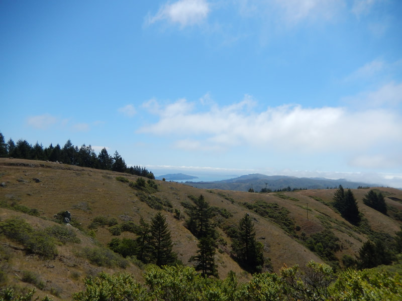
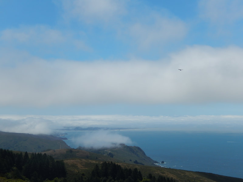
The view opens up wide with San Francisco in view to the south, and Point Reyes in view to the north. On a clear day, you might see the Farallon Islands off the horizon.
This intersection is where we turn right, walking west, aiming toward the hairpin turn junction with the Steep Ravine Trail (where this current post will stop).
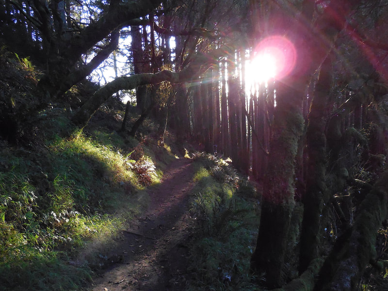
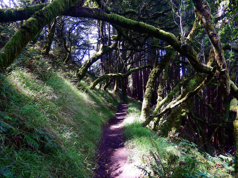
There is a nice open stretch of pale colored trail with the ocean in view as we hug the coast toward tree cover again. We enter a tree tunnel section with moss covered trees and narrower paths, which then opens up into a lovely stretch of redwoods, which have a magical light late in the day when the sun is getting low, especially late in the year.
After the redwoods walkers start to taste the iconic feel of the Dipsea Trail with its old, twisting wooden steps winding steeply downward through thick tree cover. You can see Webb Creek down below to the right as you approach the turning point for this loop hike.
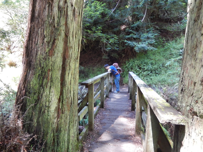
When hikers reach the wooden foot bridge that crosses Webb Creek, you’ve hit the turning point to take the ascending return via Steep Ravine Trail which will appear in a future post.
For those who might like to do an out and back along the same route without doing the steep return via Steep Ravine Trail, it is possible to add a short scenic extra by turning left past the foot bridge and walking up hill along a short stretch of Steep Ravine and Dipsea Trails to the Whitegate Ranch Trailhead viewing spot on the Panoramic Highway, with great views above Stinson Beach.
(Dipsea Trail from Pantoll Hike Notes were originally paired with “The Glow of Companionship” Insights post.)
Click Insights/Hike Update News for inspiring reflections. Browse hikes on the main Hikes page or on the Hike Search by Area page. Check out selected articles and interviews under Media. Click World Walks to see or share favorite family-friendly walks! Stay in touch with Lisa Louis and HikingAutism via Contact. See products with inspiring designs that support the efforts of HikingAutism under Support/Shop. The Links page lists a loose collection of helpful information links.
Check the Home page for the broader background story. If you’re not able to take one of these Northern California hikes, hopefully you can enjoy the photo galleries at the bottom of each hike page! Feel free to share and follow on Facebook at HikingAutism, follow on Twitter at @HikingAutism and Instagram at lisalouis777
