Goldsworthy Spire to National Cemetery Overlook
(scroll to bottom for photo gallery)
Location:
Bay Area Ridge Trail from Presidio Golf Course near Inspiration Point to National Cemetery Overlook, Presidio, San Francisco, starting a short distance past the Arguello Gate.
Starting Point:
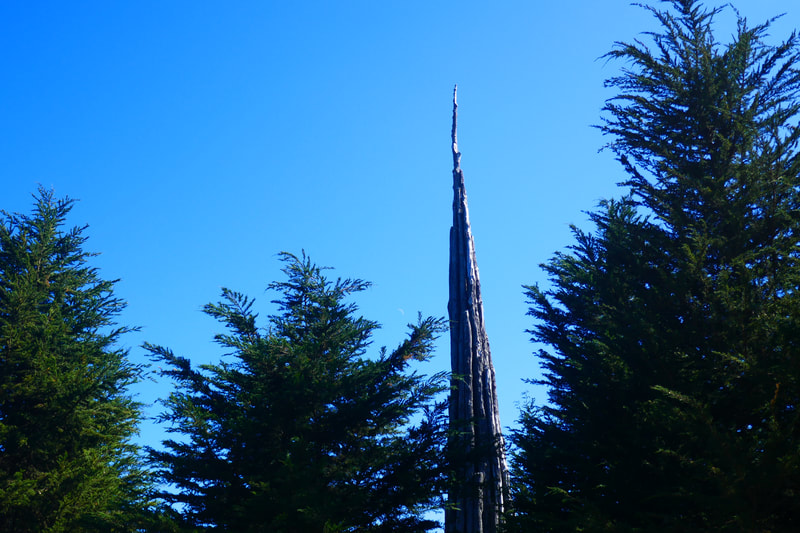
We usually park at the Inspiration Point parking lot, a short distance into the Presidio on Arguello Blvd., just past Arguello Gate. Limited parking for non golf course visitors is available in the Presidio Golf Course, but read signs carefully for parking rules. Andy Goldsworthy’s “Spire,” a towering pinnacle sculpted from Monterey cypress, is in view from either parking location, and that marks the main start just past the start of the Bay Area Ridge Trail.
Info links:
For all web links, if a link doesn’t jump directly, copy and paste into browser.
Andy Goldsworthy Spire information (Presidio Trust):
https://www.presidio.gov/places/andy-goldsworthys-spire
San Francisco National Cemetery information (National Park Service):
https://www.nps.gov/prsf/learn/historyculture/san-francisco-national-cemetery.htm
Presidio Trail map link (Presidio Trust):
https://www.presidio.gov/transportation-internal/Shared%20Documents/presidio-trails.pdf
Presidio General map link (Presidio Trust):
https://www.presidio.gov/transportation-internal/Shared%20Documents/Presidio%20Map.pdf
Bay Area Ridge Trail maps and information link (Bay Area Ridge Trail):
https://ridgetrail.org/trail-maps/
PresidiGoShuttle map link (Presidio Trust):
https://www.presidio.gov/transportation-internal/Shared%20Documents/presidio-route-map.pdf
Inspiration Point information link (Presidio Trust):
https://www.presidio.gov/places/inspiration-point-overlook
Presidio General information (Presidio Trust):
https://www.presidio.gov
Presidio General information (National Park Service):
https://www.nps.gov/prsf/index.htm
Distance:
The Bay Area Ridge Trail starting near the Presidio Golf Course entrance on Arguello Blvd. to the Cemetery Overlook is about 0.7 miles, with only minor changes in elevation, making for a round trip of 1.4 miles of easy to moderate walking.
Considerations:
• Parking is usually available at Inspiration Point parking lot. The free PresidiGo Shuttle also stops at Inspiration Point. Limited parking is available at the Presidio Golf Course parking lot.
• Poison oak: Steer clear, and keep a scrub like Technu handy.
• Pay attention to wildlife postings, particularly coyote updates.
• No toilet facilities along the trail, but there are facilities the Presidio Golf Course.
• Follow the Bay Area Ridge Trail markers (the trail is not labeled on the map apps I looked at, for some reason). Use caution crossing at the intersection of Deems Road and Washington Blvd., then a short distance down Washington to Nauman Road. There is a crosswalk, but no stop signs, and cars sometimes come fast around the curves here. Look for trail markers again a short distance along Nauman.
• The National Cemetery is a beautiful place to visit and take photos, and deserves quiet and respect as a resting place for those who have served the country and loved ones who may be visiting graves there.
The trail:
General Presidio notes: Many people find San Francisco’s Presidio, a military site turned national park visiting area, to be confusing to drive in, and confusing to walk in. That makes it hard for many people to get started.
There are many wonderful places to hike and visit in the Presidio, many of them free. There is also a great free shuttle service (see link above) that takes visitors from place to place.
HikingAutism will introduce the Presidio in small, digestible sections. Bit by bit, visitors can expand their horizons and link up one familiar section to another.
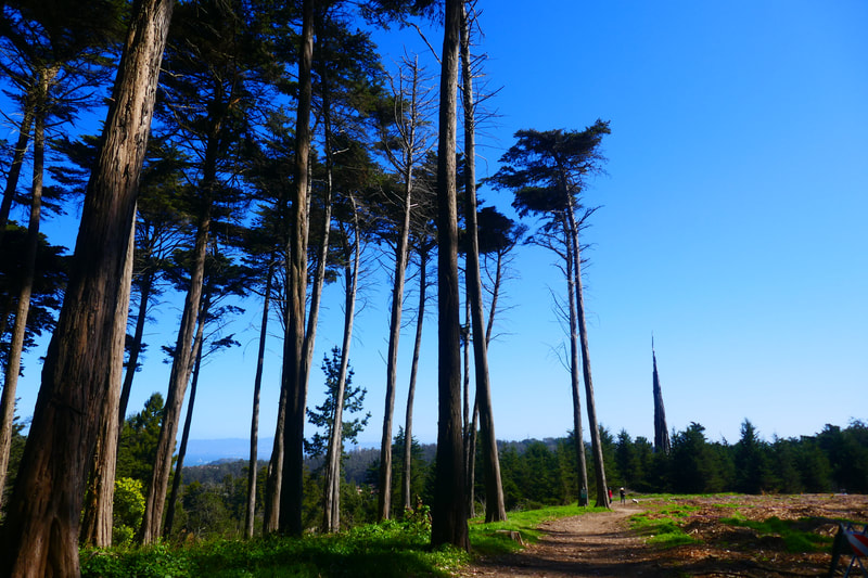
Whether parked at Inspiration Point or the Presidio Golf Course, walk to the start of the Bay Area Ridge Trail at the edge of Arguello Blvd. next to the entrance to the Presidio Golf Course parking lot. Walk along the tree lined path until you can see the tip of the Spire rising above the trees to the right. Small paths lead into the Spire area where visitors can walk around and crane necks look up from the base. There was a fire at the Spire recently, but it is still standing.
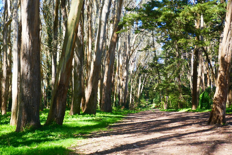
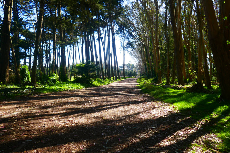
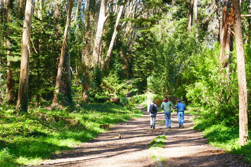
Back on the trail going forward, there is an open area with a eucalyptus forest lining the left side. This path curves and leads into a tunnel of eucalyptus and pine trees. The visual aesthetic along this path is enjoyable whether overcast or sunny, but there is something magical about long, slanting shadows creating flickering patterns along this forest path on a sunny day.
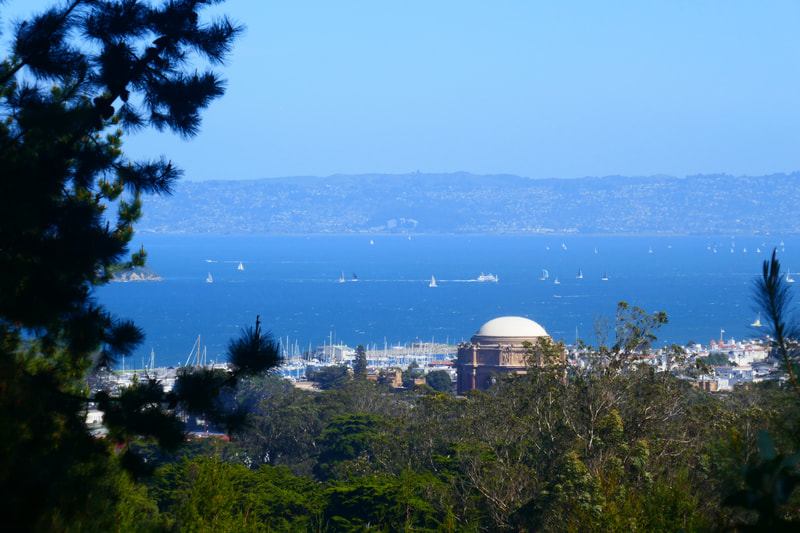
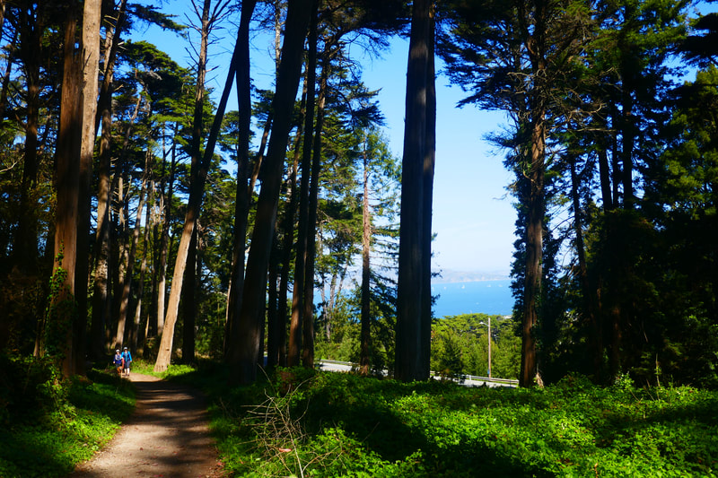
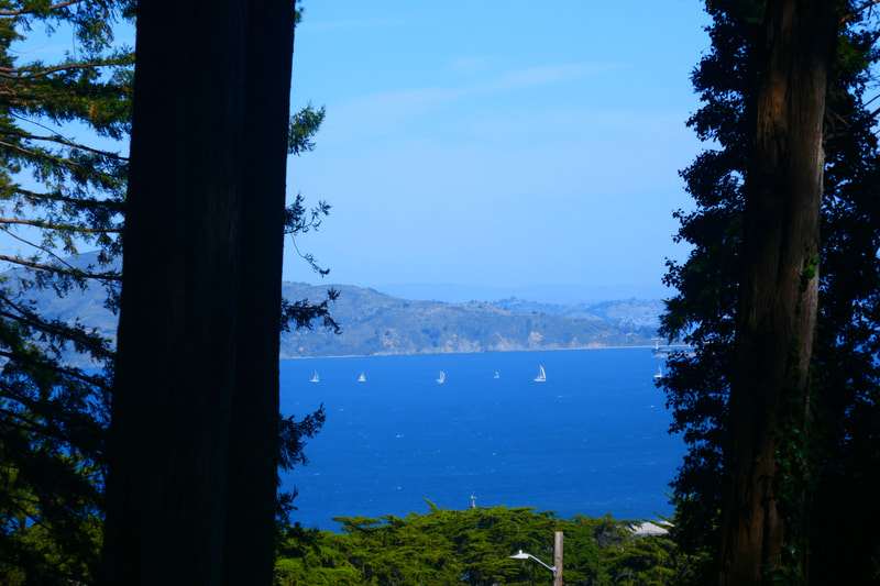
The path carries on in this stripe shadow pattern for a stretch, and then visitors will see a narrower path going straight forward, which may have signs blocking entry (or especially firm coyote warnings), and a path branching forward and to the right. Follow the trail to the right for more beautiful tree lined stretches, this time with stunning bay views appearing to the right through the trees.
This Bay Area Ridge Trial continues down to the intersection of Washington Blvd. and Deems Rd. The pedestrian crossing marks (no stop sign) don’t guarantee that drivers will slow down around the curve, so use caution when crossing. Continue a short distance along Washington and turn to the right at the next paved opening to the right.
A paved path leads to a trail sign indicating that the Cemetery Overlook is 0.1 miles away, followed shortly by a sign indicating that the Cemetery Overlook is 375 feet away. A series of low stone walls inscribed with lines from poet Archibald Macleish as well as benches looking out over the cemetery offer a quiet place for contemplation.
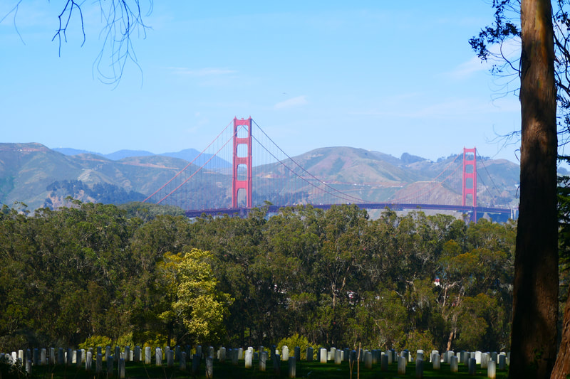
The view from this corner of the San Francisco National Cemetery is stunning, at dawn, midday or late afternoon. (A future post will feature just the cemetery.) The view of the Golden Gate Bridge hovering in front of the Marin Headlands is priceless. Returning along the same route from this point makes for a 1.4 mile hike without any extreme changes in elevation. Walkers who wish to make a longer loop can walk through the Cemetery to the Main Post and return to Inspiration Point along the Ecology Trail. (See previous post, “Ecology Trail in the Presidio.”)
(Goldsworthy Spire to National Cemetery Overlook Hike Notes were originally paired with the “Aiming High” Insights post.)
Click Insights/Hike Update News for inspiring reflections. Browse hikes on the main Hikes page or on the Hike Search by Area page. Check out selected articles and interviews under Media. Click World Walks to see or share favorite family-friendly walks! Stay in touch with Lisa Louis and HikingAutism via Contact. See products with inspiring designs that support the efforts of HikingAutism under Support/Shop. The Links page lists a loose collection of helpful information links.
Check the Home page for the broader background story. If you’re not able to take one of these Northern California hikes, hopefully you can enjoy the photo galleries at the bottom of each hike page! Feel free to share and follow on Facebook at HikingAutism, follow on Twitter at @HikingAutism and Instagram at lisalouis777
