Gray Whale Cove State Beach
(scroll to bottom for photo gallery)
Gray Whale Cove State Beach, Pacific Coast Highway (Route 1), just south of the Tom Lantos Tunnels at Devils Slide.
Location: The Gray Whale Cove Trail parking lot is on a curve on Route 1 a short distance south of the Devils Slide tunnels. Those visiting the beach have to cross Route 1, which has no crosswalks or stop signs. Use caution.
For all web links, if a link doesn’t jump directly, copy and paste into browser. (Information links may change. We do our best to update.)
Gray Whale Cove State Beach info link (California State Parks):
https://www.parks.ca.gov/?page_id=528
Gray Whale Cove State Beach info link (Coastside State Parks Association):
https://www.coastsidestateparks.org/gray-whale-cove-state-beach
San Mateo Coast State Beaches brochure (California State Parks):
https://www.parks.ca.gov/pages/528/files/SanMateoCoastBeachesParksWeb2016.pdf
Distance:
Gray Whale Cove State Beach is set in a cove surrounded by steep cliffs, covers about 3 acres and runs about 800 feet end to end. Visitors will get exercise by taking the long stairs leading to and from the beach. Those wishing to take longer hikes can try trails from the parking lot on the east side of Route 1. (Try trails to Montara Mountain, around McNee Ranch, or try our Gray Whale Cove Trail hike.)
Considerations:
General note: All information is subject to change based on current health and safety guidelines.
• The parking lot is on the east side of Route 1, and the beach access is on the west side. Located on a curve where there is often constant beach traffic, crossing from the parking area to the beach trail can be dangerous. Use caution.
• There are chemical toilets at the upper parking area of the Gray Whale Cove Trail parking lot, and no toilets or trash receptacles on the beach side.
• Heed health and safety notices, including wildlife alerts, water quality warnings, and fishing rules.
• Note the warnings about riptides and other ocean hazards.
• Bay Area weather can switch between chilly and foggy and warm and sunny in the blink of an eye. We always bring layers.
• Dogs are not allowed on the beach but are allowed on leash on the trails on the east side of Route 1.
The trail:
We parked in the upper lot (though the road was partly washed out and rough) where the chemical toilets are, and took the set of wooden stairs down to the edge of Route 1. Crossing this popular scenic route is a safety hazard because there is no pedestrian crossing marked and there is no stop sign.
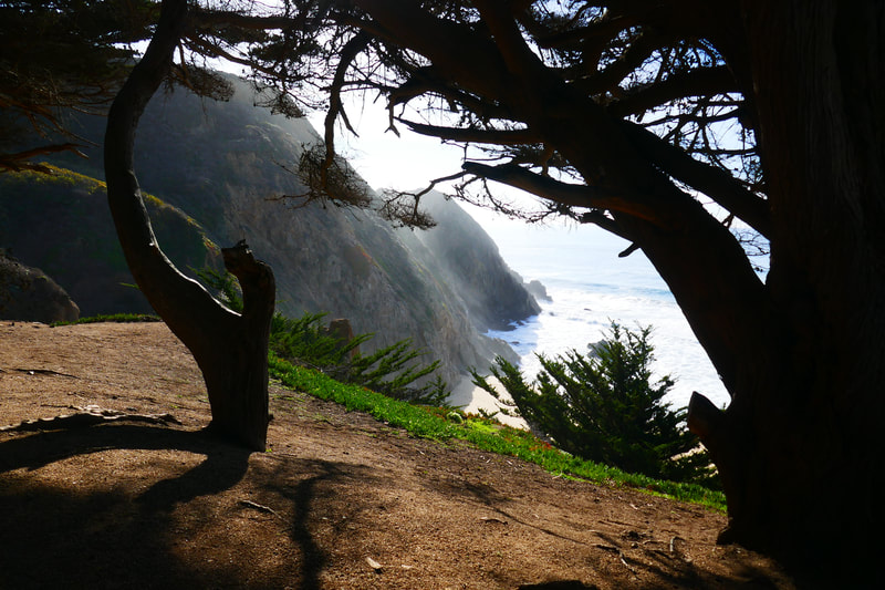
Once on the west side of Route 1, we saw that the clifftop area to the left had beautiful trees creating an aesthetic forefront to the cliff and ocean views beyond. We explored this small area and enjoyed the stunning views before heading to the right to follow the trails leading to the steep stairway to the beach. We saw a rusted old piece of metal equipment aptly noted with the graffiti “Tetanus” on the way to the stairs.
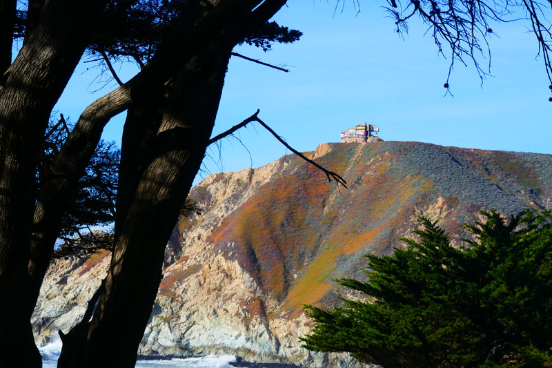
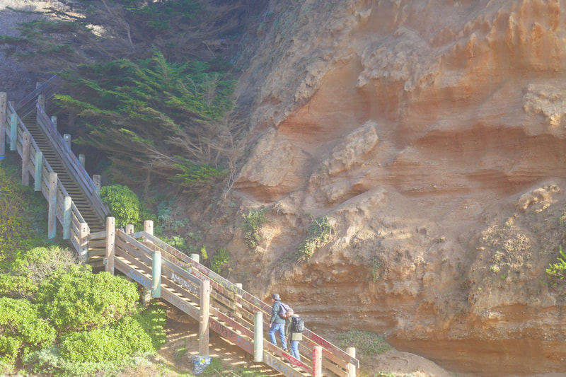
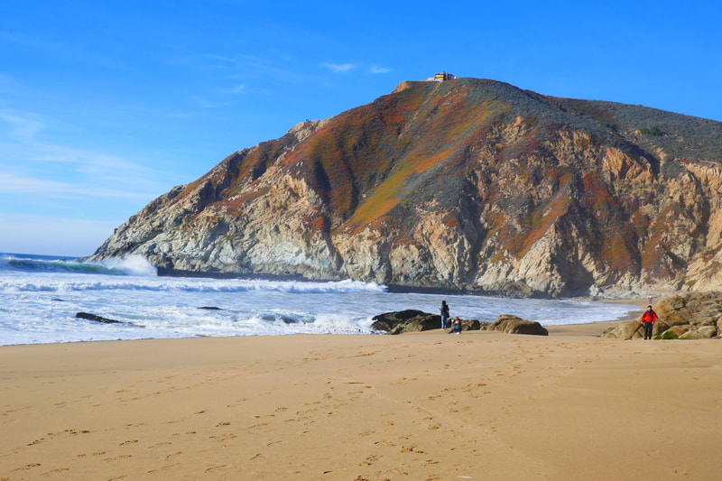
Rising to the right as we made our way down the wooden stairs were colorful cliffs topped by the Devil’s Slide Bunker. Unusual geological striations on the cliffs caught our eye on the way down.
The stairs are fairly long and visitors should watch for broken steps. Once at the bottom, we maneuvered past a pooled water area before stepping onto the main beach.
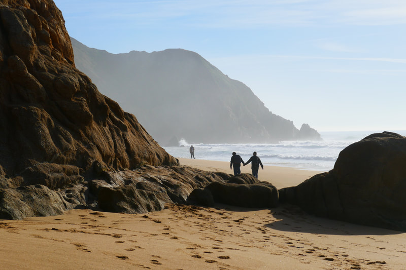
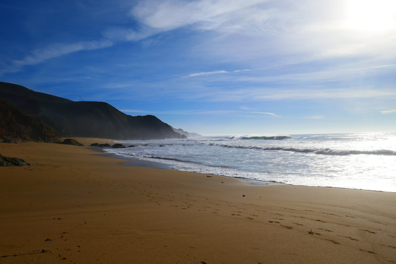
Facing the ocean, this cove-enclosed beach features the Devil’s Slide Bunker cliffs to the north, the hill visitors climb to reach the beach to the east, and tall dark rock formations closing off the cove to the south.
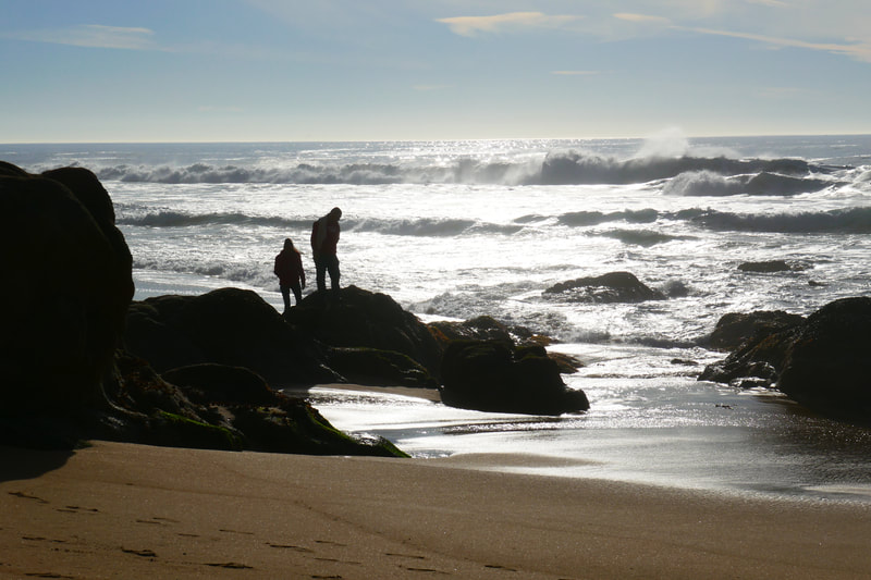
We enjoyed walking to the farthest edges of both ends of the beach. A lone fisherman made for an iconic silhouette against the crashing waves facing west. A handful of visitors dotted the beach on our winter visit. Summer is more crowded.
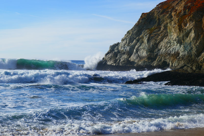
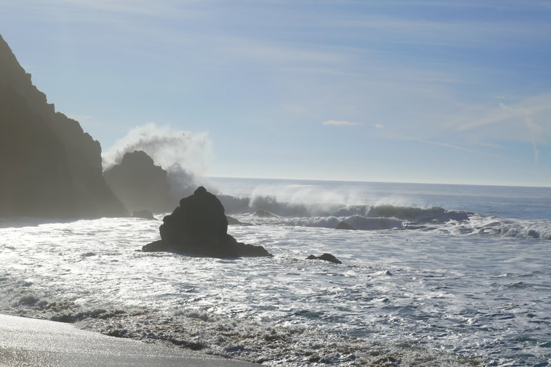
The beautiful green of the water when waves start rolling was beautiful to watch, as were the giant bursts of spray as larger waves hit the rocks at either end of the beach. As is the case with any beach visit, never turn your back on the ocean, and be aware of riptides and sneaker waves.
We made our way back up the long stairs. Someone was preparing to carry flowers and decorations down to the beach as we got to the top of the trail.
“Wedding?”
“Proposal,” the young man answered. Weddings and other events are allowed at Gray Whale Cove State Beach but permits are required.
This site became an instant favorite for us, but we will probably avoid the crowds of the busy summer beach season.
Gray Whale Cove State Beach Hike Notes were originally paired with the “Transported” Insights post.)
Click Insights/Hike Update News for inspiring reflections. Browse hikes on the main Hikes page or on the Hike Search by Area page. Check out selected articles and interviews under Media. Click World Walks to see or share favorite family-friendly walks! Stay in touch with Lisa Louis and HikingAutism via Contact. See products with inspiring designs that support the efforts of HikingAutism under Support/Shop. The Links page lists a loose collection of helpful information links.
Check the Home page for the broader background story. If you’re not able to take one of these Northern California hikes, hopefully you can enjoy the photo galleries at the bottom of each hike page! Feel free to share and follow on Facebook at HikingAutism, follow on Twitter at @HikingAutism and Instagram at lisalouis777
