Pacifica Pier from Mori Point
(scroll to bottom for photo gallery)
Location:
Mori Point Rd, Pacifica, CA 94044
Mori Point Road intersects with Route 1, just south of Sharp Park Road
Starting Point: Park on Mori Point Road or Bradford Way
The Mori Point sign on the west side of Route 1 is very easy to miss. Northbound on Route 1, it is shortly past the Reina Del Mar intersection and the Pacifica Police Department. Southbound on Route 1, it is just past Sharp Park Road.
Info links:
For all web links, if a link doesn’t jump directly, copy and paste into browser.
Mori Point information:
http://www.parksconservancy.org/visit/park-sites/mori-point.html
Mori Point Accessibility information:
https://www.nps.gov/goga/planyourvisit/mori-point-accessibility.htm
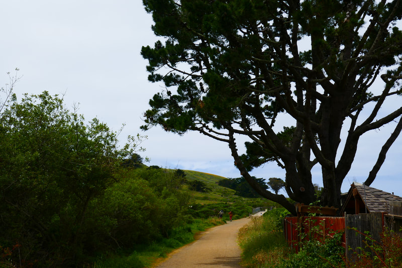
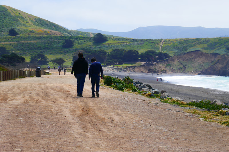
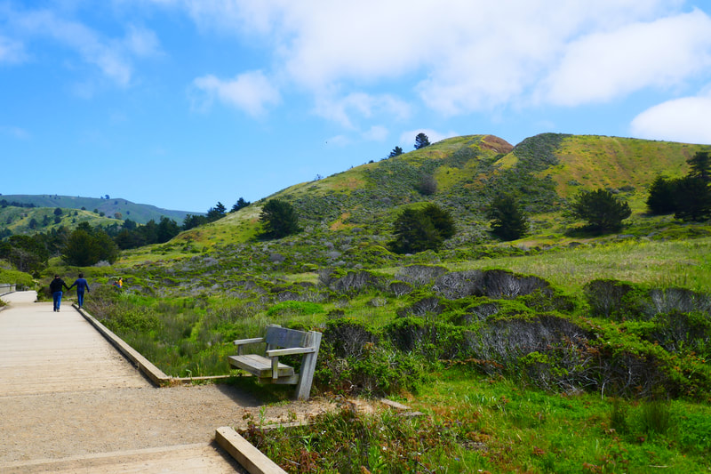
From the parking area to the beach along Old Mori Trail/Road is quite flat, including a wooden bridge/walkway over a marshy part of the habitat restoration area. This makes for a fairly smooth path to the ocean. The Coastal Trail to the pier is also quite flat and wide.
Map with trails:
http://www.parksconservancy.org/assets/visit-your-parks/pdfs/mori-point-trail-map.pdf
[portions of these Hike Notes are also in an earlier related post, Mori Point]
Distance:
This is a great walk for those who like an easily measured distance and minimal hills or grades. It’s 0.5 miles from the trailhead to the beach, and 0.9 miles from there to Pacifica Pier. Add the extra bit of walking to the end of the pier and you have a good 1.5 miles each way, 3 miles round trip.
Considerations:
• As noted above, the Mori Point sign is easy to pass by. It is between Sharp Park Road and Reina Del Mar Ave.
• Mori Point Road itself, which is mainly used for trailhead parking, is a short road. Bradford Way is a good parking backup.
• Getting on and off Route 1 involves calculating fast traffic. Heading back north the west side of Route 1 often involves heading south first, and making a left to turn back north from the east side.
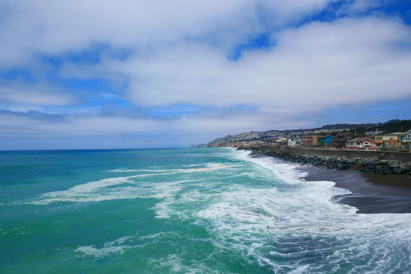
• The beach leading toward Pacifica Pier has warning signs about rip tides and drownings. If walking on the beach itself rather than on the walkway above, keep beach safety points in mind (sneaker waves, rip tides, etc.)
• There are toilet facilities at the Mori Point Trailhead and at the start of the Pacifica Pier.
The trail:
More rugged uphill walks around Mori Point are covered in previous hikingautism.com post Mori Point. For this hike, we are describing a straight shot to the beach from the trailhead.
Starting from the trailhead (near the toilet facility, great improvement over previous port-a-potty situation), walk along Old Mori Trail/Road toward the ocean. This path borders houses for a stretch, then broadens into an open area that then leads to the Coastal Trail intersection at the beach. There is a pretty little wooden walkway area over a marshy habitat restoration area midway toward the ocean.
There are hills rising to the left, and sculptural trees in the distance ahead, marking where Old Mori Road meets the Coastal Trail.
Bootlegger’s Steps rise up to the left, but for this hike, walkers will turn right onto the Coastal Trail, the walkway that parallels the beach with the Pacifica Pier in view ahead.
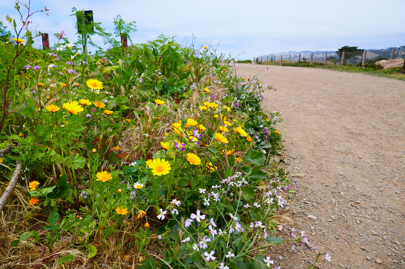
This is always a scenic stretch to walk, but April and May often bring an array of wildflowers to view.
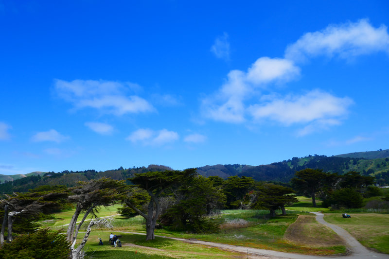
Sharp Park Golf Course to the right, with the higher hills of Pacifica in the distance across the highway, offer a contrast to the smooth ocean view at left.
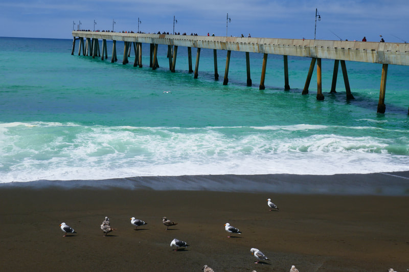
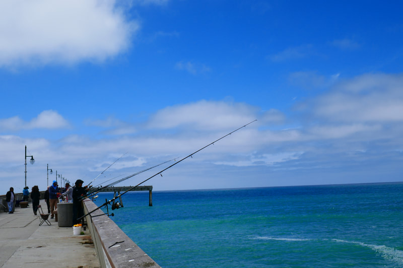
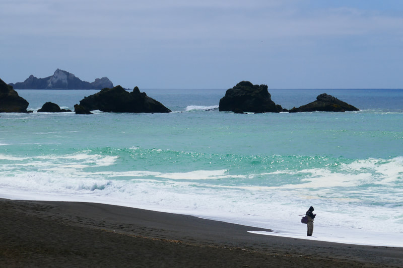
Fishermen often have poles out along the beach, with even more people fishing on the pier itself.
We’ve seen whales breach right offshore along this beach stretch. If you take the time to stop and look, you will at the very least enjoy seeing pelicans and various sea birds.
Once you reach the pier, the view north is stunning, as is the view back southward where the iconic shape of Point Pedro stands out.
We like to walk along the pier, maneuvering around the busy fishing crowd. The scenery feels different heading back from the pier toward Mori Point, and the three-mile round trip makes for a pretty walk at every stretch.
(Pacifica Pier from Mori Point Hike Notes were originally paired with the “A Helping Hand” Insights post.)
Click Insights/Hike Update News for inspiring reflections. Browse hikes on the main Hikes page or on the Hike Search by Area page. Check out selected articles and interviews under Media. Click World Walks to see or share favorite family-friendly walks! Stay in touch with Lisa Louis and HikingAutism via Contact. See products with inspiring designs that support the efforts of HikingAutism under Support/Shop. The Links page lists a loose collection of helpful information links.
Check the Home page for the broader background story. If you’re not able to take one of these Northern California hikes, hopefully you can enjoy the photo galleries at the bottom of each hike page! Feel free to share and follow on Facebook at HikingAutism, follow on Twitter at @HikingAutism and Instagram at lisalouis777
