Gray Whale Cove Trail
(scroll to bottom for photo gallery)
Location:Montara State Beach/McNee Ranch State Park, Gray Whale Cove Beach parking lot, Pacific Coast Highway/Cabrillo Hwy (1), between Pacifica and Montara, CA
Starting Point:Gray Whale Cove Beach parking lot, Highway 1, just south of Devil’s Slide, inland side of the road
Info/Links:
For all web links, if a link doesn’t jump directly, copy and paste into browser.
McNee Ranch State Park info link (City of Pacifica):
https://www.cityofpacifica.org/depts/pbr/parksbeaches/beach_and_park_info_and_rules/mcnee/default.asp
Gray Whale Cove State Beach info link (CA State Parks):
https://www.parks.ca.gov/?page_id=528
Montara State Beach/McNee Ranch info link (CA State Parks):
https://www.parks.ca.gov/?page_id=532
San Mateo Coast Beaches brochure (scroll down for maps) (CA State Parks):
https://www.parks.ca.gov/pages/532/files/SanMateoCoastBeachesParksWeb2016.pdf
Trail Map link (San Mateo County):
https://parks.smcgov.org/sites/parks.smcgov.org/files/Devils-Slide-Map.pdf
(Also recommended, McNee Ranch info link from montara.com):
http://plants.montara.com/mrsp.html
(The unnamed trails in this hike show up on an All Trails map):https://www.alltrails.com/explore/trail/us/california/gray-whale-cove-trail?ref=sidebar-static-map
Distance:
1.5 miles, partly on unnamed trails (see trail description details below)
Considerations:
• Gray Whale Cove Beach parking lot is on the inland side of the highway. Those wishing to visit Gray Whale Cove Beach need to use caution getting across the highway to take the steep trail down to the beach. Not a worry for this hike as the trailhead starts from the parking lot.
• I’ve seen web pages saying there is some sort of toilet facility at an upper parking lot, but we weren’t able to confirm that on our visit.
• Hikes along coastal hills can be very windy, but the flip side on this trail is a lack of tree cover. Layers in case of wet windy weather, and sun protection due to lack of shade are both in order.
• There is a lot of poison oak on some stretches of these trails. A scrub like Technu is good to have in case of contact with poison oak.
• The unnamed, less-traveled trails we hiked were pretty rough in some stretches. Use caution to avoid twisted ankles.
The trail:
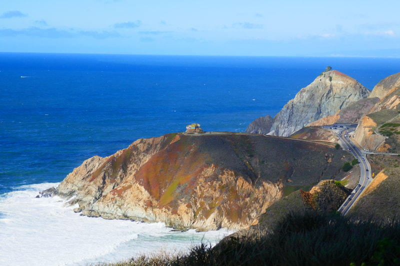
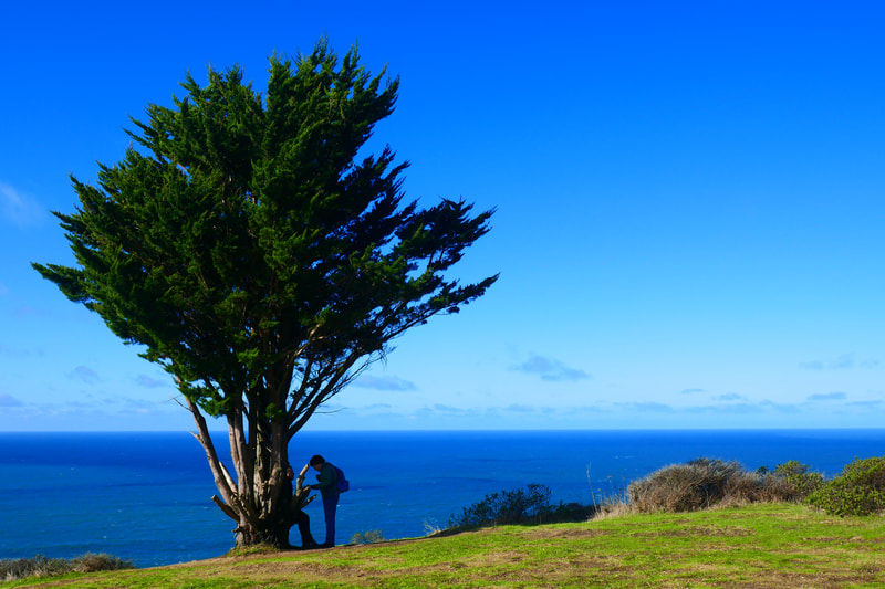
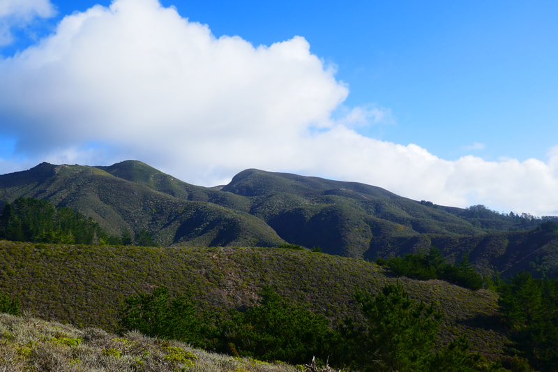
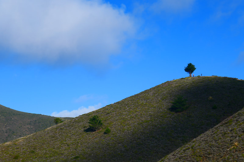
The hike described here is not one of the standard hikes along the main named trails (Old Pedro Mountain Road, North Peak Access Road), except for the portion along Gray Whale Cove Trail. This is a 1.5 mile loop that cuts up and back down a steep hill marked by a lone tree, with great views toward Devil’s Slide facing north, mountains facing east, Montara Beach facing south, and the wide Pacific facing west.
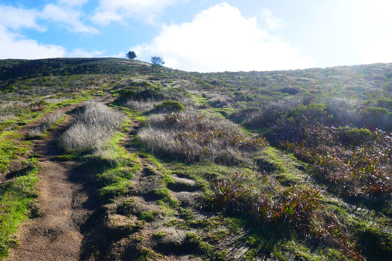
Starting from the Gray Whale Cove parking lot, after a 0.2 mile connector segment, there is a chance to continue south along the coast on the Gray Whale Cove Trail, or to make a sharp ascent inland aiming toward the lone tree at the top of a steep hill. We took the 0.2 mile climb to the tree.
Nothing can be too hard for 0.2 miles, you’d think, but this actually turned out to be a pretty steep hill. The views are great looking toward the ocean, for those who need a couple of rest breaks getting up the steep part.
Once at the top of the hill, the iconic tree turns out to be as charming up close as it is from a distance, including stumpy parts that work as rest supports. There is a 0.3 mile connector that heads south and slightly west. (On the maps that the trail even shows up on, it appears between Gray Whale Cove Trail and Pedro Mountain Road/Trail.)
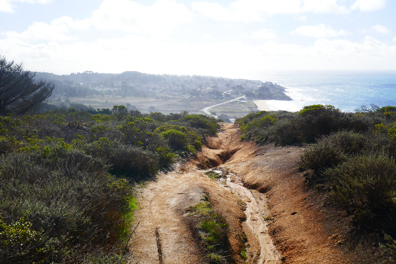
At the point from above when we could see a couple of scenic benches on a trail side clearing, we took the next visible path downward. Some of that unmarked trail felt more like a water-engraved ditch line than a trail, which is probably why it is not marked. Use caution to avoid twisted ankles in the deep grooves.
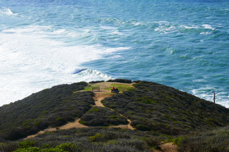
The lovely outcropping with the benches at the bottom of this hill marks the connection back onto the Gray Whale Cove Trail.
We enjoyed a rest at the benches, looking south toward Half Moon Bay with Montara Beach in view. We then turned north and made our way back for the 0.6 miles to our first trail connection, then the last 0.2 miles to the parking lot.
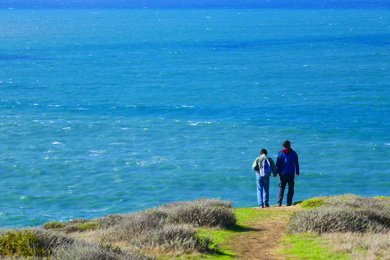
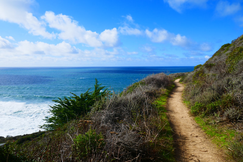
This coast-view stretch of trail has more plant life and walls hugging the side of the trail than the high hill segment of our hike. Each twist and turn opens onto yet another view of the Pacific, deep grayish green marked by darker mystery spots in the water. Whales are often sighted along this stretch of coast, so binoculars are good to bring if you have them.
Our total hike was 1.5 miles, with half a mile being moderate to steep ascent, a third of a mile being moderate to steep descent, and the remainder being fairly flat trail along the coastline. There are many other options for hiking in McNee Ranch/Montara Beach State Park, but this hike was reasonably short while providing dramatic views and some cardio work.
(Gray Whale Cove Trail Hike Notes were originally paired with the “Keep Climbing” Insights post.)
Click Insights/Hike Update News for inspiring reflections. Browse hikes on the main Hikes page or on the Hike Search by Area page. Check out selected articles and interviews under Media. Click World Walks to see or share favorite family-friendly walks! Stay in touch with Lisa Louis and HikingAutism via Contact. See products with inspiring designs that support the efforts of HikingAutism under Support/Shop. The Links page lists a loose collection of helpful information links.
Check the Home page for the broader background story. If you’re not able to take one of these Northern California hikes, hopefully you can enjoy the photo galleries at the bottom of each hike page! Feel free to share and follow on Facebook at HikingAutism, follow on Twitter at @HikingAutism and Instagram at lisalouis777
