Old Bunker Road
(scroll to bottom for photo gallery)
Location: Start at: Old Bunker Road trailhead near lower parking lot of the Marine Mammal Center, 2000 Bunker Road, Fort Cronkhite, Sausalito, CA 94965
Starting Point: The Old Bunker Road trailhead starts near the lower parking lot of the Marine Mammal Center. Bunker Road, which is the road off Mitchell Road that leads to the turnoff to enter the Marine Mammal Center area, extends toward a gate facing west (slightly northwest) from the lower parking lot. Old Bunker Road, now more of a fire road/trail, starts from this gate and goes to Battery Townsley where it connects to the Coastal Trail. (Google Maps shows Old Bunker Road as the Coastal Trail, for some reason. Use the Marin Headlands map link below.)
Info/Links:
For all web links, if a link doesn’t jump directly, copy and paste into browser.
Marine Mammal Center info link:
http://www.marinemammalcenter.org
Directions to the Marine Mammal Center:
http://www.marinemammalcenter.org/visiting-us/directions.html
Battery Townsley information links (National Park Service):
https://www.nps.gov/goga/learn/historyculture/battery-townsley-preservation.htm
https://www.nps.gov/goga/learn/historyculture/battery-townsley.htm
Marin Headlands Map link (National Park Service):
https://www.nps.gov/goga/planyourvisit/upload/map_mahe_150429_508_2021.pdf
Fort Cronkhite Information and Map link (Golden Gate National Parks Conservancy):
https://www.parksconservancy.org/parks/fort-cronkhite
San Francisco to Fort Cronkhite MUNI bus info link:
https://www.parksconservancy.org/services/marin-headlands-express
Distance:
From the Old Bunker Road trailhead near the lower Marine Mammal Center parking lot to Battery Townsley is approximately 1 mile. Going out and directly back makes for a 2 mile round trip. Another option is to take the Coastal Trail down to Rodeo Beach from Battery Townsley, then walk back along Mitchell Road past Fort Cronkhite and Rodeo Beach Lagoon, and up Bunker Road back to the trailhead. (There are some shortcuts to avoid walking the full Bunker Road path back to the Marine Mammal Center if hikers are adventurous and know how to spot a back trail.) This loop adds up to about 2.5 miles.
Considerations:
•The Marine Mammal Center is a wonderful place to visit and support, and is open almost year round. Well worth a visit before or after a hike, or just on its own. Also a great place to buy gifts, with purchases supporting a good cause.
• There are toilet facilities at the Marine Mammal Center, and also at the Fort Cronkhite parking lot near Rodeo Beach at the end of Mitchell Road.
• Traffic management in the Marin Headlands sometimes changes. Watch traffic and detour signs carefully as our latest trip allowed entry only via the Bunker Road/Tunnel exit rather than allowing uphill traffic on Conzelman Road.
• There is weekend MUNI bus service from San Francisco to Fort Cronkhite. See link above.
The trail:
We often make a stop at the Marine Mammal Center for a quick visit, no matter what our other plans are for hiking in the Marin Headlands. This hike makes the Marine Mammal Center a perfect first stop.
The lower level parking lot, which has more space than the parking spaces up the hill closer to the facility, is right near Bunker Road, which is the turnoff to get to the Marine Mammal Center off Mitchell Road that runs past the Rodeo Beach Lagoon. Old Bunker Road is the fire road/trail for this hike, starting from the fence that marks the end of Bunker Road.
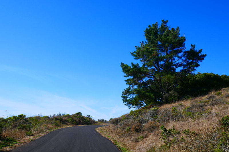
Facing west (slightly northwest), start this hike from the other side of the fence that starts Old Bunker Road. This hike is a moderate uphill climb for much of the one mile between the Marine Mammal Center and Battery Townsley, but there are some flat stretches.
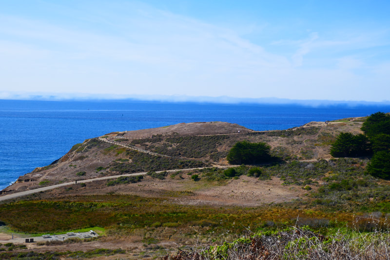
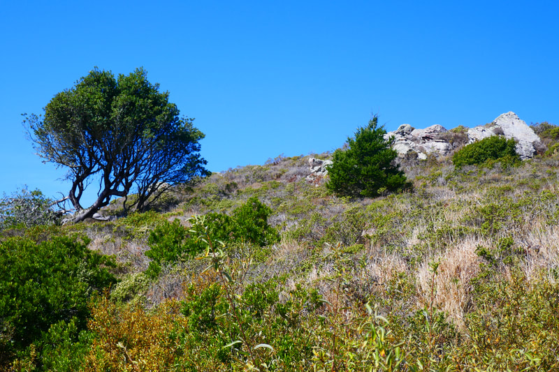
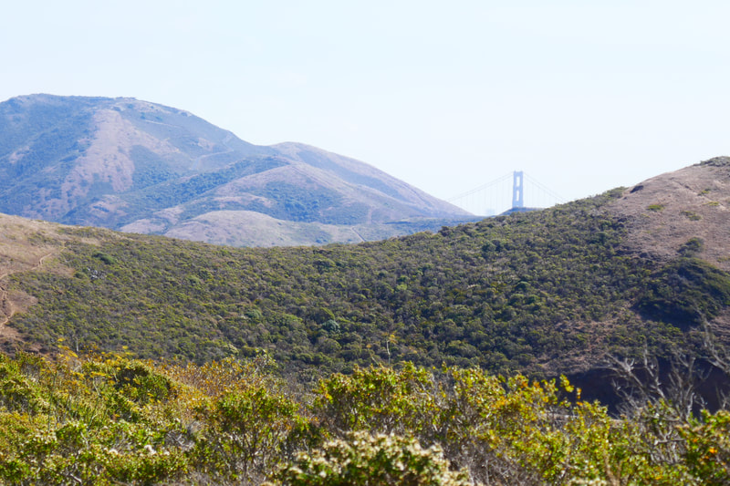
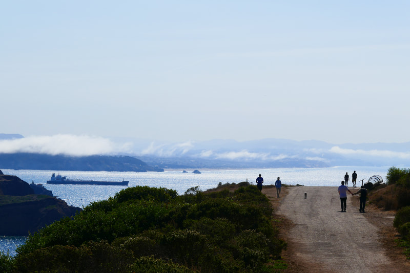
This is chaparral terrain marked by dry, brownish hills during the dry season. Old Bunker Road hugs the hills at the right going uphill, and offers views of the Pacific facing west. Facing south, when visibility is good, the top of the Golden Gate Bridge peeks up from behind the rolling hills of the Marin Headlands. There is also a great view down to Rodeo Beach and points south facing San Francisco.
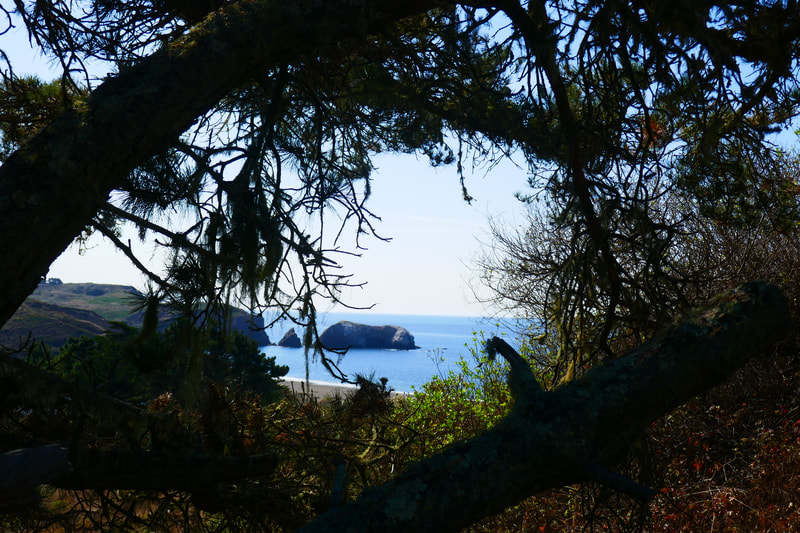
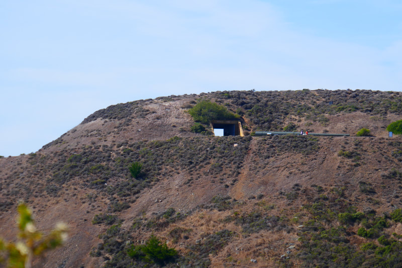
Old bunker structures dot the hills. Trails high up on the uphill side connect to Hill 88, a longer hike along the Coastal Trail (see previous post, Hill 88 from Rodeo Beach). The view of the bunker structure of Battery Townsley from Old Bunker Road offers a great keyhole photography shot through to the ocean, which looks especially dramatic at sunset.
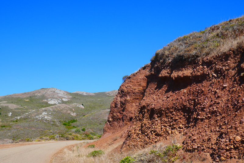
Keep an eye out for fascinating geological structures which are hallmarks of the Marin Headlands. Zigzagging striations of reddish rock have a lot to tell about geological history. Birds of prey, mammals and various reptiles also make appearances.
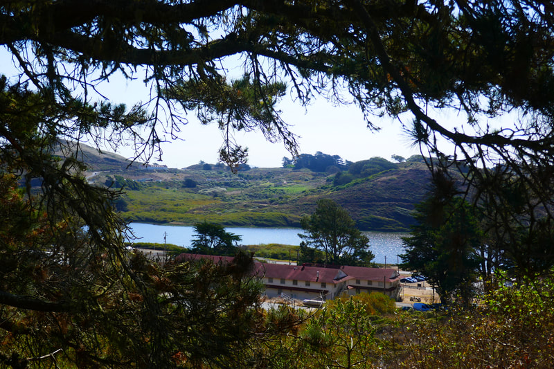
The views back toward Rodeo Beach and the San Francisco skyline are always stunning. On a clear day, the ocean sparkles like diamonds. When it’s foggy, hikers are drawn into the mysterious waves of fog that can block out everything but the five feet of trail in front.
It’s only a mile or so to Battery Townsley. The vistas from the top of the hill are beautiful, and the battery itself is an interesting historic spot featuring a World War II cannon. It’s an easier downhill walk back the one mile from Battery Townsley to the starting spot, with the reverse walk offering great views.
Another option is to take the Coastal Trail down from Battery Townsley to Rodeo Beach, and walk Mitchell Road back toward the Marine Mammal Center, which makes for about a 2.5 mile loop. Either way works, and the Rodeo Beach loop offers a chance to stop and catch a view of surfers catching waves and people hanging out on the beach.
Old Bunker Road is one of many trails to enjoy in the Marin Headlands, and connects between two of our favorite places, the Marine Mammal Center and Battery Townsley (see previous post, Battery Townsley). (Old Bunker Road Hike Notes were originally paired with the “Magical Places on Repeat” Insights post.)
Click Insights/Hike Update News for inspiring reflections. Browse hikes on the main Hikes page or on the Hike Search by Area page. Check out selected articles and interviews under Media. Click World Walks to see or share favorite family-friendly walks! Stay in touch with Lisa Louis and HikingAutism via Contact. See products with inspiring designs that support the efforts of HikingAutism under Support/Shop. The Links page lists a loose collection of helpful information links.
Check the Home page for the broader background story. If you’re not able to take one of these Northern California hikes, hopefully you can enjoy the photo galleries at the bottom of each hike page! Feel free to share and follow on Facebook at HikingAutism, follow on Twitter at @HikingAutism and Instagram at lisalouis777
