St. Francis Trail-Ocala National Forest-Florida
Walk contributed by: Paul Van den Brink and Sanderella Plak
Walk/trail: St. Francis Trail-Ocala National Forest
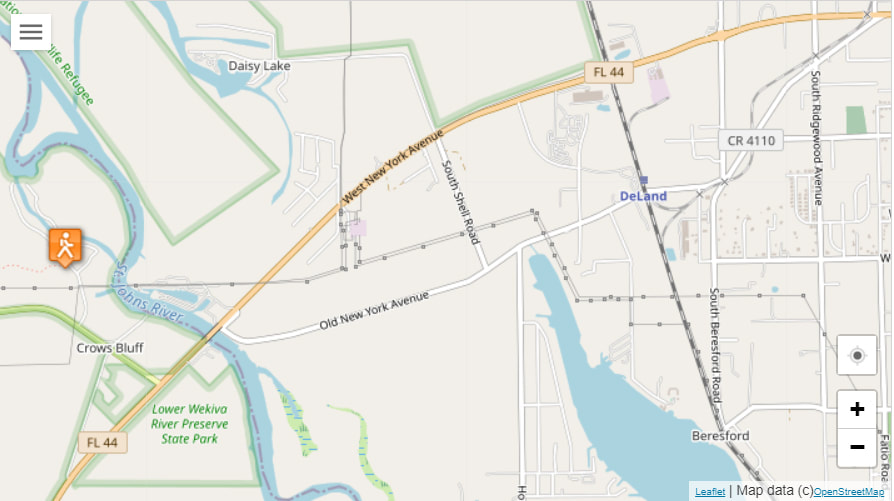
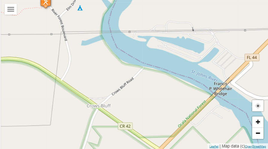
Location: From Deland, Florida drive north on SR 15 or US 17 to SR 44. Go west on SR 44 (New York Avenue) for 4.2 miles, and cross the Whitehair Bridge over the St. Johns River. Turn right onto SR 42 at the light after the bridge. Take a right at River Forest and drive past the camp to the trailhead at the end of the road.
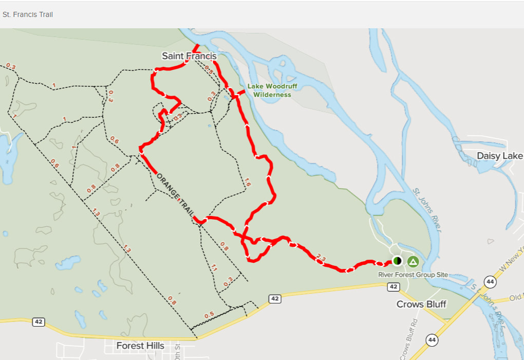
Walk distance: The St. Francis Trail is 7.9 miles, with variable options including two loops, and two short spur trails to scenic spots.
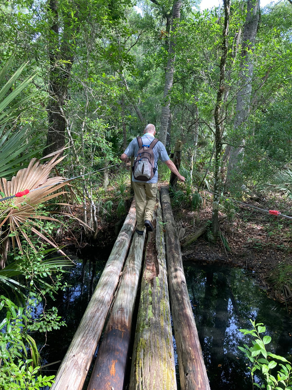
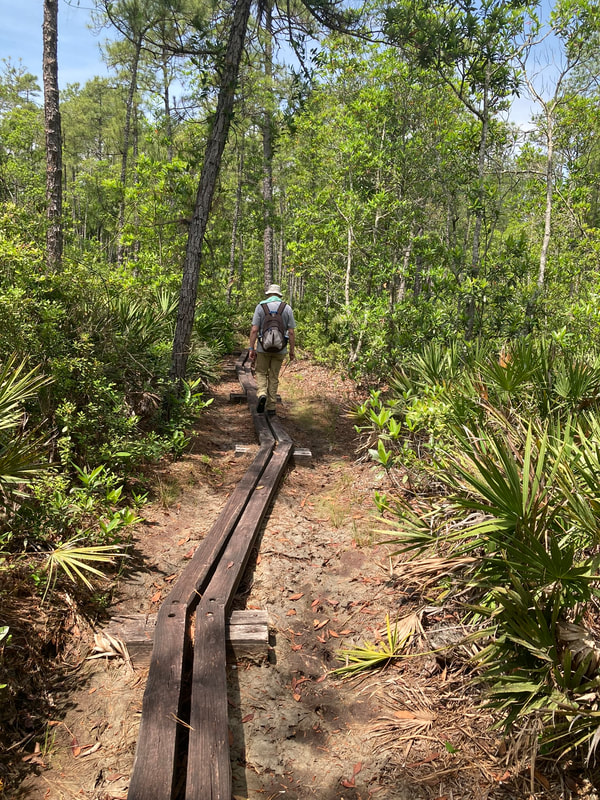
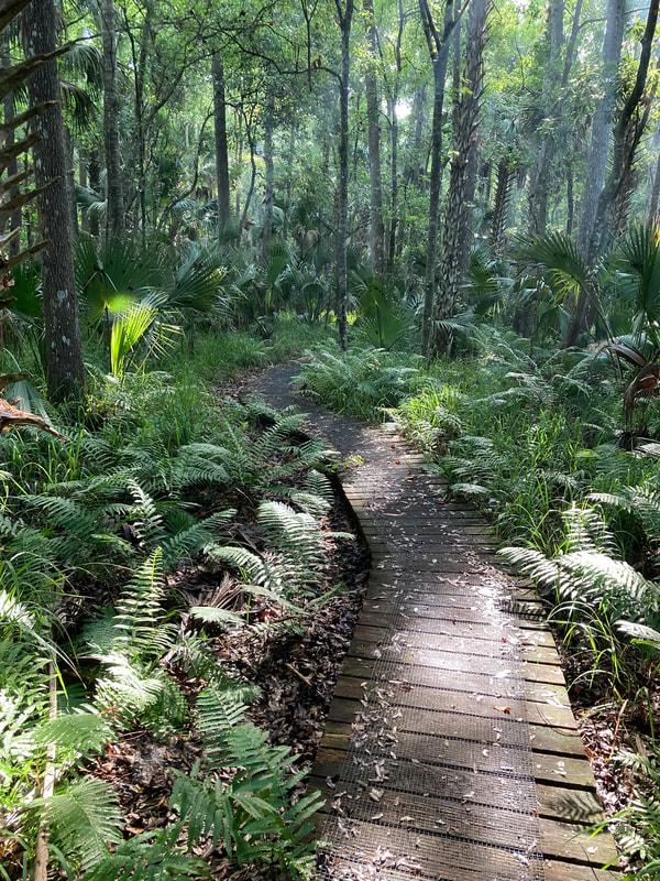
Highlights: The St. Francis Trail features bridges and many boardwalks because it is in a floodplain. Plants include Southern magnolia and loblolly bay magnolia, as well as palmetto, cypresses and loblolly pine. The trails lead through floodplain forest near the St. Francis Dead River, the ghost town of St. Francis (historically a river port busy with steamboats), near the St. Johns River. Photos featured in the gallery here are from the Yellow Trail. (Note: Bright orange vests are a must for hikers during hunting season. See more details in information links above.)
To find out more:
St. Francis Trail info link (Florida Hikes):
https://floridahikes.com/st-francis-trail
St. Francis Trailhead info link (US Dept. Agriculture/Forest Service):
https://www.fs.usda.gov/recarea/florida/recarea/?recid=83705
Thanks to Paul and Sanderella for another great share in their Florida series! For more info and how to share your own walk, go to World Walks, where you can also browse the list of shared walks.
Click the HikingAutism Home page to get the broader background story. Click Insights/Hike Update News for inspiring reflections. Click Hikes and browse the list or check Hike Search by Area for a summary of hike listings. Share on Facebook or follow on Twitter at @HikingAutism
