Eldridge Grade-Windy Ridge
(scroll to bottom for photo gallery)
Location:
Eldridge Grade, Windy Ridge and other trails detailed below are located near Greebrae, Kentfield, and Ross, CA, and cover an area in the Marin/Mt. Tamalpais Watershed south of Phoenix Lake and east of Lake Lagunitas.
Starting Point:
There are several trailheads to get to this area. (An alternative to these notes is from Evergreen Road that connects to Indian Fire Road which leads up to Eldridge Grade.)
For our hike, we started at the Tucker Cutoff Trail, which starts from a very short road called Phoenix Road extending from Crown Road (the northern Crown Road trailhead on the map, rather than the southern Crown Road trailhead).
!!!Note: Phoenix Road shows up on Google Maps, but is only marked as Crown Road on the detailed Watershed map (scroll down for “The Lakes Area” enlarged map of this section, link below), the Pease Press Ramblers’ Guide Trails of Mt. Tamalpais map, and on the Tom Harrison Mt. Tam paper map.
Tucker Cutoff Trail is marked and labeled on the Watershed map, is marked as a trail without a name on the Pease Press Ramblers’ Guide Trails of Mt. Tamalpais map and the Tom Harrison Mt. Tam paper map, and is marked by name without the trail showing on Google Maps.
Sometimes you need more than one map to get a clear picture of trails and junctions.
Info links:
For all web links, if a link doesn’t jump directly, copy and paste into browser.
Mt. Tam Watershed information (Marin Water):
https://www.marinwater.org/mt-tam-watershed
Mt. Tam project and road status info (CA State Parks):
https://www.parks.ca.gov/?page_id=471
Mt. Tam Watershed map (Marin Water):
https://www.marinwater.org/sites/default/files/2020-09/Watershed%20Visitor%20Map.pdf
Under Google Maps, key names to input include: Eldridge Grade, Indian Fire Road, Windy Ridge, Tucker (Cutoff) Trail (towns in this area include Ross, Greenbrae, Kentfield)
Distance:
Our route was about 4.3 miles, as noted below, but there are many trail combinations hikers can choose from. Best to have good maps!
Crown/Phoenix Road Tucker Cutoff Trail to Tucker Trail junction 0.3 miles, Tucker Trail to Eldridge Grade 1 mile (Tucker Trail south, NOT north toward Phoenix Lake), Eldridge Grade to junction with Lakeview Fire Road 0.4 miles, Eldridge Grade (east) to junction with Indian Fire Road 1.1 miles, Indian Fire Road to Windy Ridge Trail 1 mile (0.6 miles to junction with Blithedale Ridge Road, continue another 0.4 miles to Windy Ridge Trail), Windy Ridge Trail back to trailhead, 0.5 miles.
Considerations:
• Bring a map or multiple maps. These trails get a little fuzzy in a couple of places. The maps don’t always match exactly, either. There are multiple map options for navigating Mt. Tam and the Marin Watershed.
• There is limited roadside parking near the Phoenix Road trailhead. Maps make it appear as if the drivable road ends on Crown Road, but it is possible to drive to the trailhead on Phoenix Road. Roadside parking on Crown and a short walk along Phoenix Road to the trailhead is the option we took.
• There were no toilet facilities/port-a-potties at this trailhead at the time of our visit.
• Pay attention to trail signs regarding plant and animal life, including any cautions regarding mountain lion sightings.
• Always watch for poison oak. A poison oak scrub like Technu is handy to have along.
• Opening/closing of trails and facilities subject to change due to health and safety status.
The trail:
I’ve wanted to write up this hike for a couple of years, but wasn’t paying attention to trailheads or junctions at the time (hiker buddy steered us to this one), and it took hours for me to piece together our trail connections by pulling up multiple maps and looking at landmarks in the trail photos. That is partly because there are so many trail options on Mt. Tam, partly because our starting trail of the Tucker Cutoff Trail is not that easy to find, and partly because I forgot to take photos of trail signs that day!
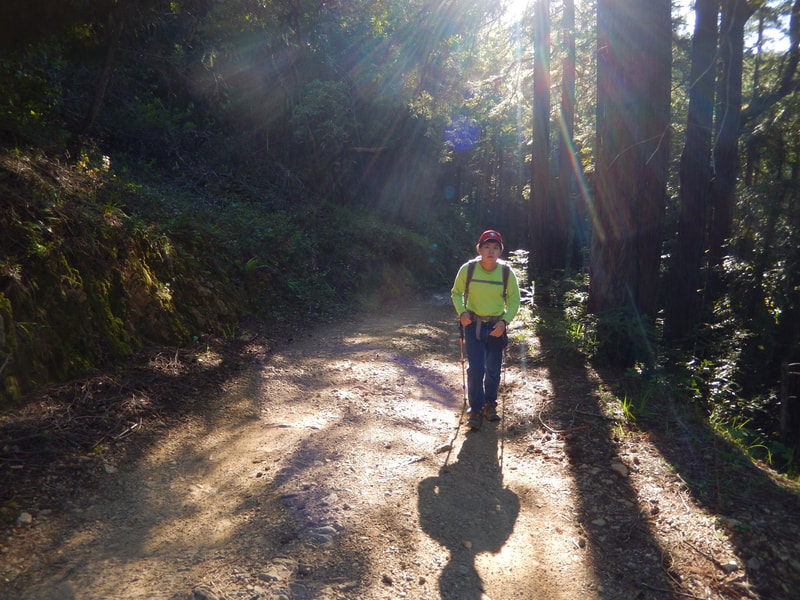
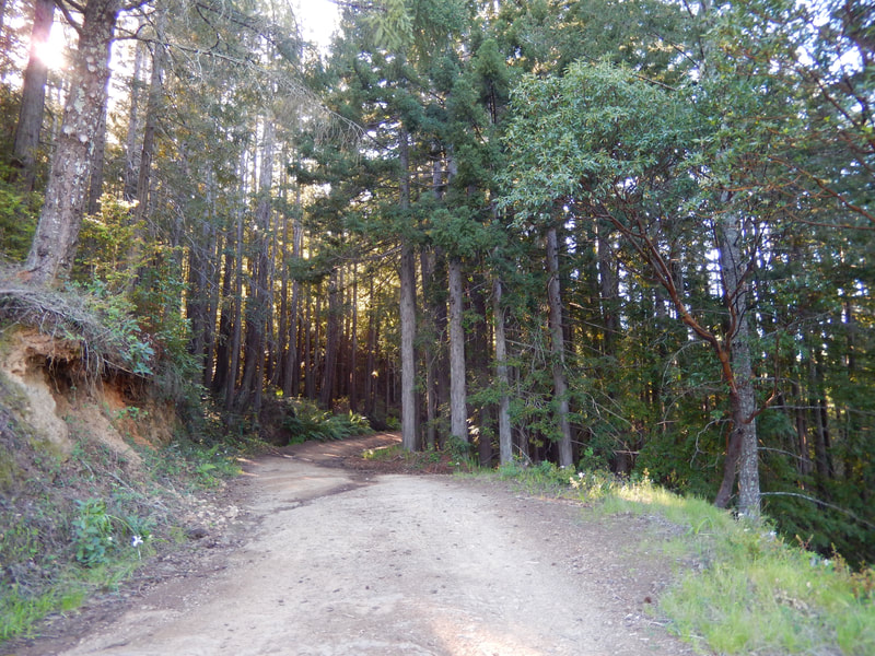
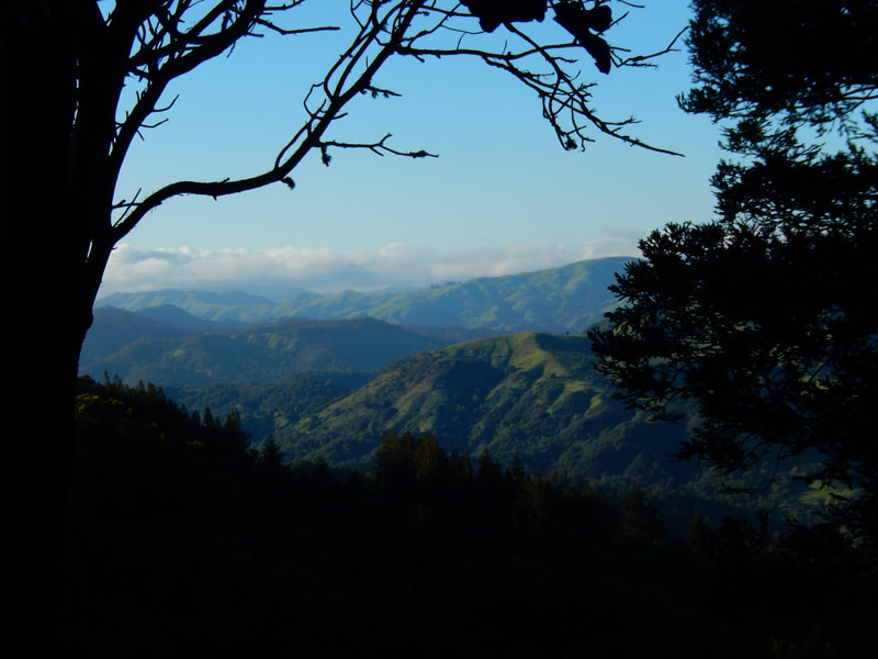
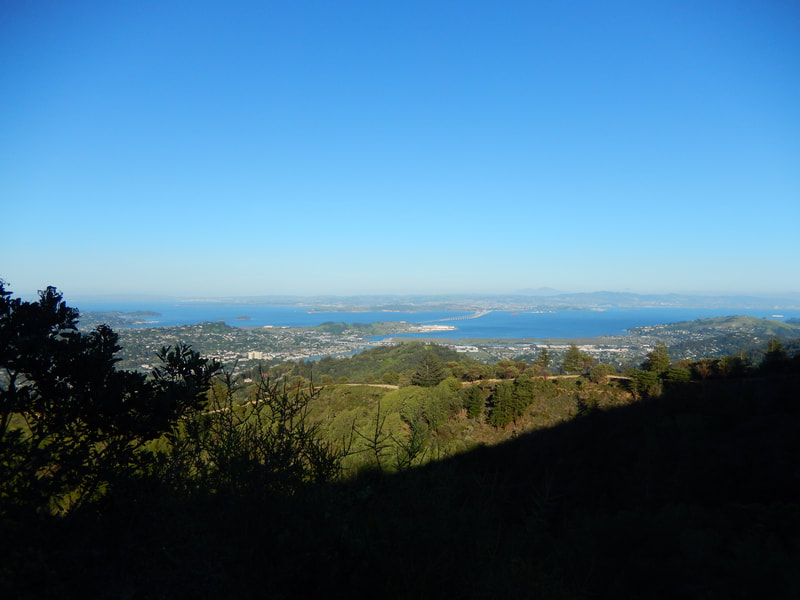
This is a hike that features many of my favorite things about Mt. Tam hikes all in one: narrow grassy paths, waterfalls, wooden footbridges, mossy fern trails, tree tunnels, vistas from one ridge where you can see the trail on the next ridge, patches of redwood forest, dark forest stretches, high vista views of the bay, wide fire road trails with broad views of other mountaintops, madrones and wildflowers.
I like the Tucker Cutoff Trail and the Tucker Trail enough that they will be featured on their own in the next Hike Notes, so only logistical notes for those are included here.
Just past where Crown Road melds into Phoenix Road, (with a narrow stretch of Crown forking to the left), Tucker Cutoff Trail starts off Phoenix with a few steps leading onto a narrow dirt path. 0.3 miles later, there’s a junction: Tucker Trail turning sharply to the north which leads to Phoenix Lake, a connection to the Bill Williams Trail which leads past the waterfall of the same name (Bill Williams – Tucker Trail Waterfall Hike), or for this hike, starting south (left from Tucker Cutoff Trail) on the Tucker Trail proper for 1 mile to connect with Eldridge Grade. There are many lovely, favorite things on the 1.3 miles of Tucker Cutoff/Tucker Trail, which will feature in the next Hike Notes.
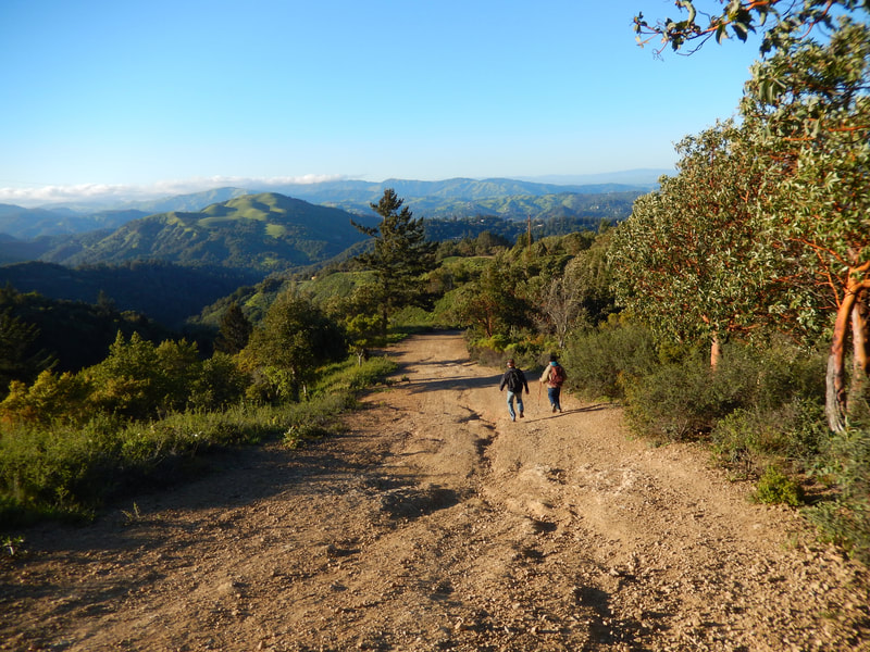
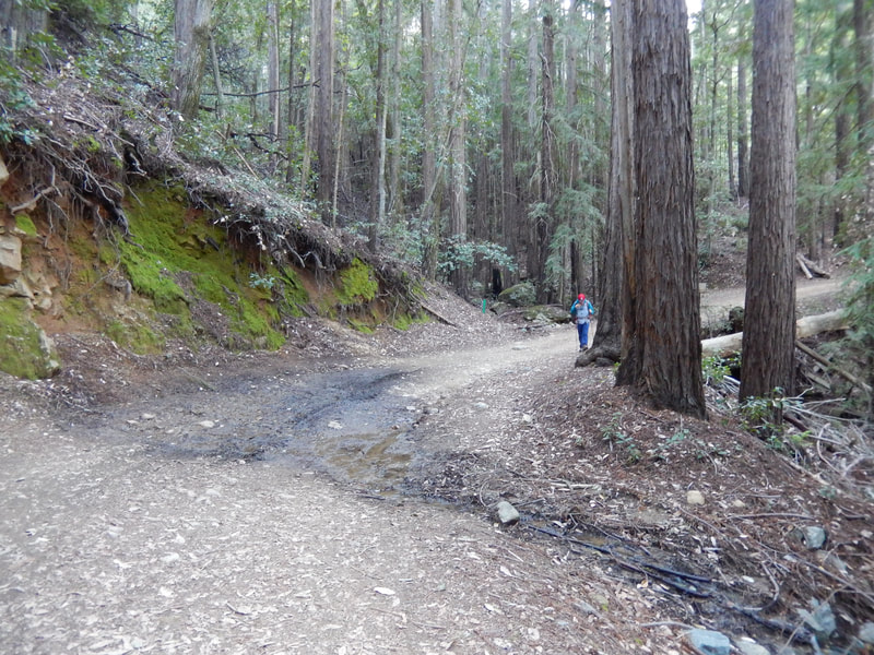
Eldridge Grade is a wider trail, which covers many miles on Mt. Tam. From our Tucker Trail junction, we join Eldridge Grade by forking to the left and rise up for 1 mile through a forested stretch to reach the junction with Lake View Fire Road, which if taken, would lead to Lake Lagunitas. For this hike, we make a sharp left turn south for a 1.1 mile leg of trail that offers redwood shade break spots as well as wide mountain views from above. Eldridge Grade rises up in and out of tree cover, with beautiful rolling mountains in view.
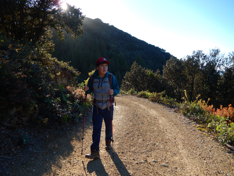
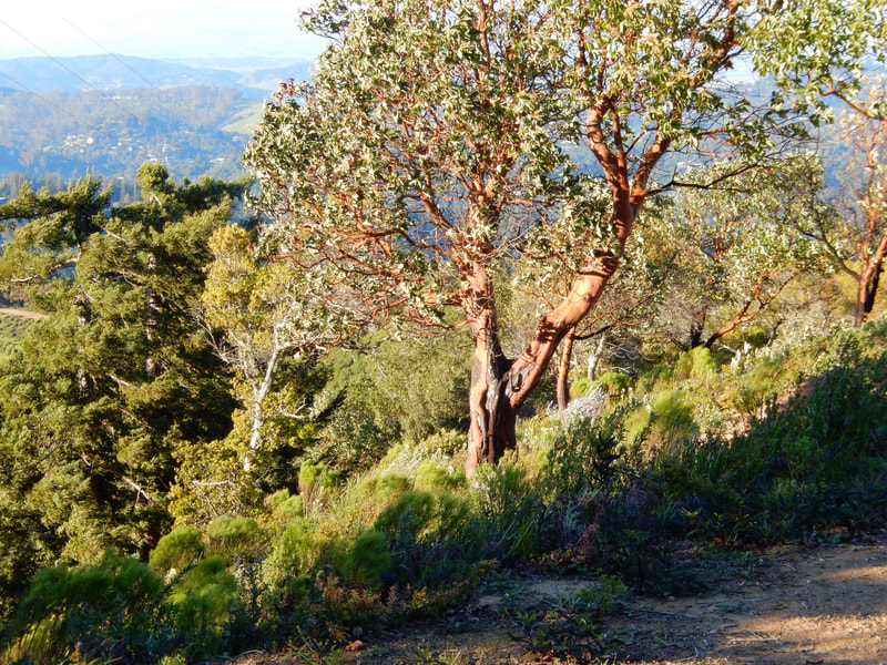
A junction gives the choice to continue south on Eldridge Grade, or to take our route, which is the left fork heading south and east on Indian Fire Road. This is a wider fire road marked by madrone and pine trees. The rolling mountain views open up nicely here, but the trail is also susceptible to strong gusts on windy days. 0.6 miles along Indian Fire Road is the junction with Blithedale Ridge Fire Road, but our hike keeps us on Indian Fire Road for another 0.4 miles.
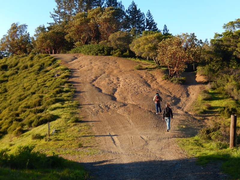
This long hilly stretch so open to strong winds is called Windy Ridge. At the end of this windy hill stretch, the trail connects to the actual Windy Ridge Trail, a 0.5 mile trail which actually goes back under tree cover, leading to a triple trailhead at the end of Phoenix Road which is just a short walk up from our starting trailhead for the Tucker Cutoff Trail. It is also possible to reach this trailhead by staying on Indian Fire Road, but then hikers would miss the last bit of trail variety that Windy Ridge Trail offers.
As a hike of a little over 4 miles that includes many of the best features Mt. Tam has to offer, this is a memorable hike, despite the tricky trail connections and fuzzy map information.
(Eldridge Grade – Windy Ridge Hike Notes were originally paired with the “A Special Light” Insights post.)
Click Insights/Hike Update News for inspiring reflections. Browse hikes on the main Hikes page or on the Hike Search by Area page. Check out selected articles and interviews under Media. Click World Walks to see or share favorite family-friendly walks! Stay in touch with Lisa Louis and HikingAutism via Contact. See products with inspiring designs that support the efforts of HikingAutism under Support/Shop. The Links page lists a loose collection of helpful information links.
Check the Home page for the broader background story. If you’re not able to take one of these Northern California hikes, hopefully you can enjoy the photo galleries at the bottom of each hike page! Feel free to share and follow on Facebook at HikingAutism, follow on Twitter at @HikingAutism and Instagram at lisalouis777
