Pfeiffer Beach – Big Sur
(scroll to bottom for photo gallery)
Location: From Highway 1, take Sycamore Canyon Road between the Big Sur Ranger Station and the Post Office. The road is difficult to see, and is only marked by a sign reading “Narrow Road. No RVs-Trailers.” Sycamore Canyon Road is on the west side of Highway 1, and is 1.1 miles south of the entrance to Pfeiffer Big Sur State Park, and 9.8 miles north of Julia Pfeiffer Burns State Park (1.8 miles north of Nepenthe Restaurant). It is a twisty, narrow, slightly over two-mile drive to the parking area.
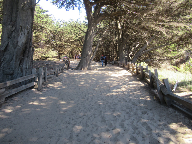
Starting Point: From the day use parking area after the entry fee station, follow the short trail to the beach, a 1/10 mile walk along a sandy trail.
Info links:
For all web links, if a link doesn’t jump directly, copy and paste into browser.
Pfeiffer Beach info link (USDA):
https://www.fs.usda.gov/recarea/lpnf/recarea/?recid=10918
Big Sur Beach Guide info link (Big Sur Chamber of Commerce):
https://www.parks.ca.gov/?page_id=570
Pfeiffer Beach Day Use info link (Parks Management Company):
https://www.parks.ca.gov/?page_id=570
Big Sur map link (Big Sur Chamber of Commerce):
https://www.californiabeaches.com/beach/pfeiffer-beach/
Other recommended links:
Pfeiffer Beach info link (California Beaches):
https://www.californiabeaches.com/beach/pfeiffer-beach/
Pfeiffer Beach info link (hikespeak.com):
https://www.hikespeak.com/trails/pfeiffer-beach-big-sur/
Distance:
Visitors have to walk a sandy, relatively flat path for about a tenth of a mile to get to the beach from the parking area. The beach itself is also not long, so this makes for a short hike. You could get a mile out of it by going back and forth end to end a couple of times combined with the parking area trail.
Considerations:
• Toilet facilities are available at the Pfeiffer Beach parking area.
• There is a day use fee to be paid at the entry fee station (use pay envelope if no person there).
• It is easy to miss Sycamore Canyon Road, see instructions above.
• The road to the parking area is about two miles of windy, narrow road, so larger vehicles like RVs are not allowed.
• Parking is limited, so a visit might have to be rescheduled if full as roadside parking is not allowed.
• As beach wisdom goes, never turn your back on the ocean. Sneaker waves and rip tides make this a walking beach rather than a swimming beach.
• Heed health, wildlife and safety signs.
The trail:
Finding the road to get to Pfeiffer Beach is part of the adventure. Navigating the two miles of narrow winding road in hopes of getting a parking spot is another. But once safely parked, there are toilet facilities available before heading down the trail to the beach. The sandy trail is marked by Monterey cypress trees, with quick arrival at the beach.
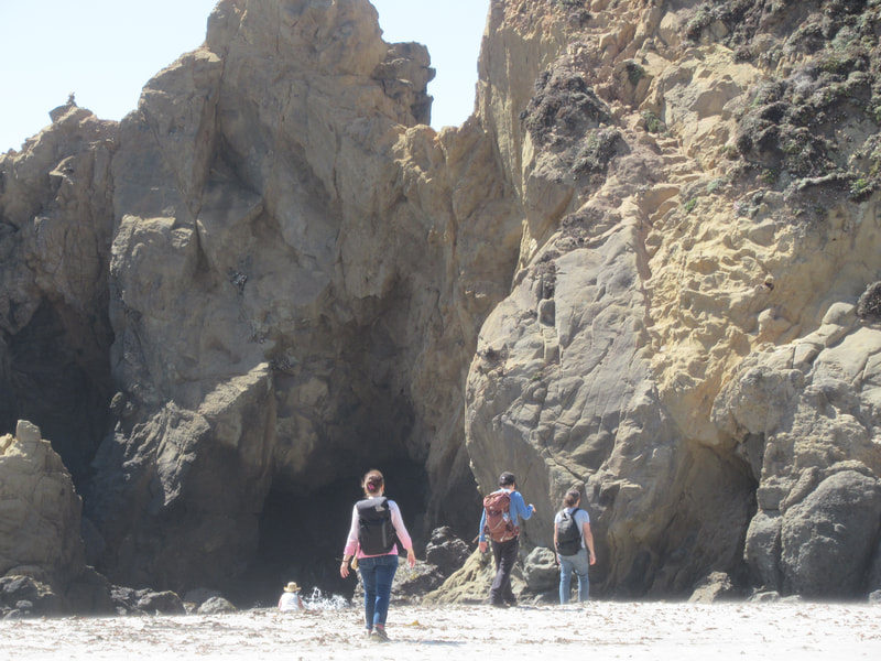
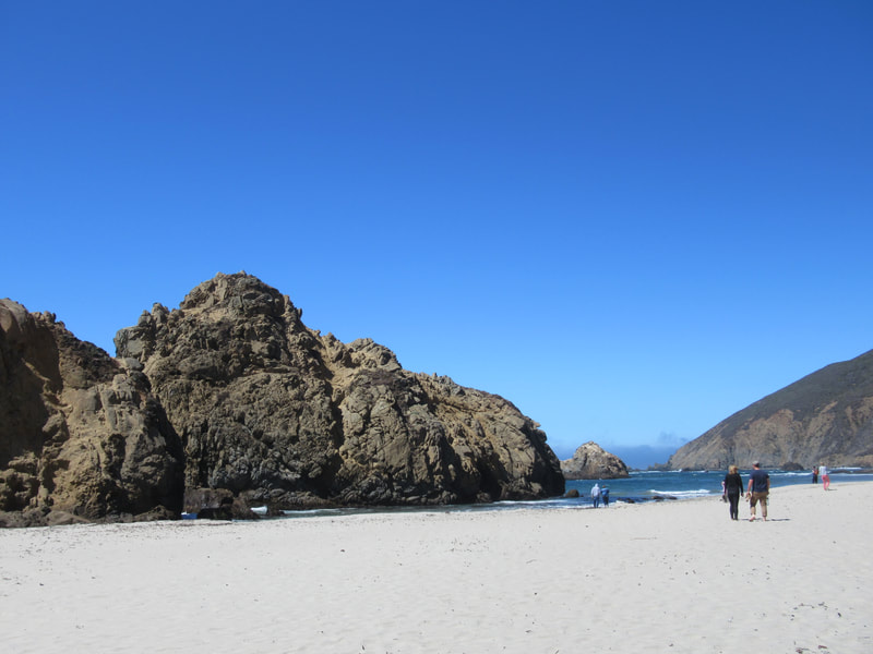
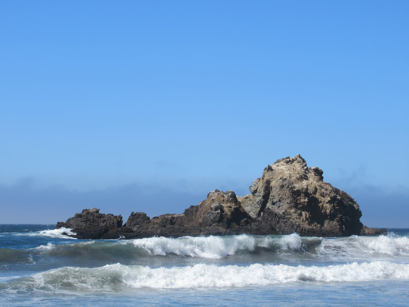
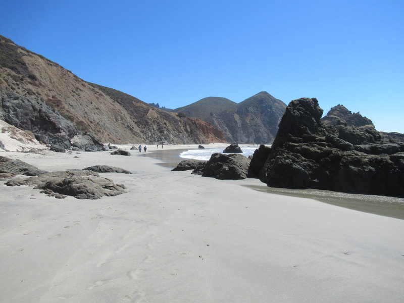
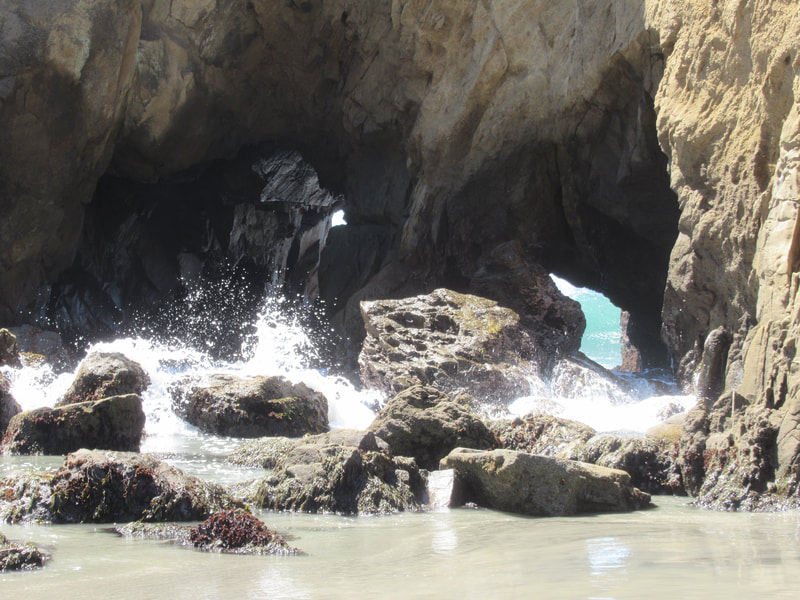
There are various rock formations along Pfeiffer Beach. A creek leads visitors out toward the main section of beach. Look for Pfeiffer Beach’s hallmark purple sand from garnet rocks in the cliffs at the north end of the beach. (This end of the beach is sometimes used by clothing optional visitors.)
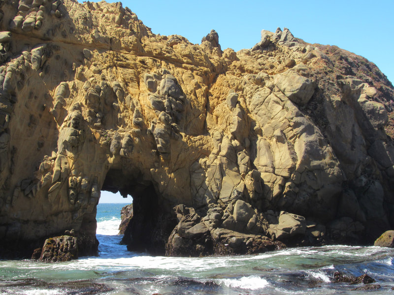
The iconic standout of Pfeiffer Beach is Keyhole Rock. The orange rock structure just offshore with its arch hole is a great place to see waves exploding as they crash into the keyhole opening. Those visiting at sunset may catch a photo of the sunset glowing through the keyhole.
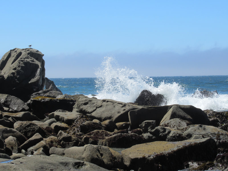
There are many interesting geological structures to observe along Pfeiffer Beach, both onshore and off. Low tide means tide pools to explore, and a longer stretch of beach to walk along.
Pfeiffer Beach is a classic piece of Big Sur beauty, and worth the hunt for a hidden road and crossing fingers for a parking spot.
(Pfeiffer Beach – Big Sur Hike Notes were originally paired with the “Other Places, Other Times” Insights post.)
Click Insights/Hike Update News for inspiring reflections. Browse hikes on the main Hikes page or on the Hike Search by Area page. Check out selected articles and interviews under Media. Click World Walks to see or share favorite family-friendly walks! Stay in touch with Lisa Louis and HikingAutism via Contact. See products with inspiring designs that support the efforts of HikingAutism under Support/Shop. The Links page lists a loose collection of helpful information links.
Check the Home page for the broader background story. If you’re not able to take one of these Northern California hikes, hopefully you can enjoy the photo galleries at the bottom of each hike page! Feel free to share and follow on Facebook at HikingAutism, follow on Twitter at @HikingAutism and Instagram at lisalouis777
