Lake Lagunitas Loop
(scroll to bottom for photo gallery)
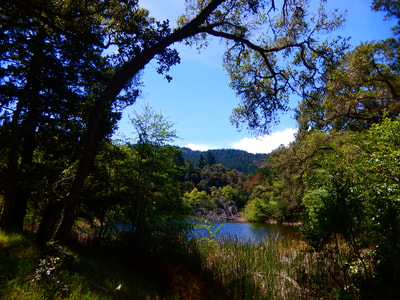
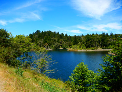
Lake Lagunitas, Marin Watershed, southwest of Fairfax, CA
Location: Lake Lagunitas is one of five lakes in the Marin Watershed (Marin Municipal Water District). For those on US Rte. 101, get onto Sir Francis Drake Blvd, which runs through a large section of Marin County, including Fairfax. In downtown Fairfax, from Sir Francis Drake, get onto Bolinas Road (Bolinas-Fairfax Road on some maps). This requires a tricky extra link via Pacheco and Broadway, depending on which direction one is driving from. (This is what maps are made for). Follow Bolinas Road as it goes past Deer Park. Watch for the left turn onto Sky Oaks Road. The pay station on Sky Oaks Road has automated machines for purchasing parking passes, which are required. Drive past the turnoff for the road to Bon Tempe Dam, staying on Sky Oaks Road as it veers to the right. A few dips, twists and turns will bring you to the Lake Lagunitas parking lot.
Links (if a link doesn’t jump directly, copy and paste into browser) (Information links are sometimes changed at the source unexpectedly. We do our best to update.):
Mt. Tam Watershed information (Marin Water):
https://www.marinwater.org/mt-tam-watershed
Mt. Tam project and road status info (CA State Parks):
https://www.parks.ca.gov/?page_id=471
Mt. Tam Watershed map (Marin Water):
https://www.marinwater.org/sites/default/files/2020-09/Watershed%20Visitor%20Map.pdf
Distance: The main loop around Lake Lagunitas is variously listed between 1.5 and 2 miles. Most of the trail is relatively flat, and we observed even small children walking around the loop. There are other hike destinations with Lake Lagunitas as a starting point, but this set of notes is about the lake loop.
Considerations:
Be sure to stop at the pay station on Sky Oaks Road to pay the modest parking fee. It’s not worth getting a ticket.
There is quite a bit of parking space at Lake Lagunitas, though as is the case everywhere, weekends and holidays are when spaces may be harder to find.
Facilities include portable toilets and various picnic table areas.
The trail:
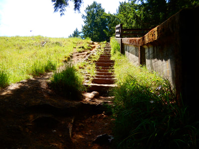
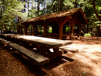
Starting from the parking area, there is a creek and forest area with a log cabin style structure marking the main picnic area. As you look in that direction you’ll see the wooden structure that runs diagonally up a hill with stairs leading along the lake spillway.
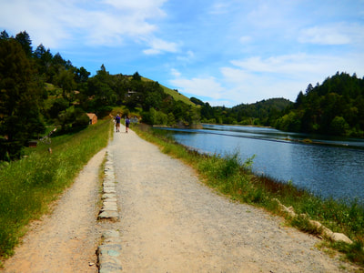
Walk up the stairs, and you’ll be at the edge of Lake Lagunitas. You can start your loop either direction. We chose to turn left from the top of the stairs and worked our way clockwise.
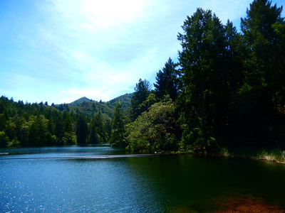
Similar to other lakes in the Marin Watershed, I am reminded of summer lake time from my childhood camping in the Adirondacks.
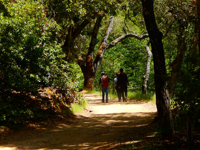
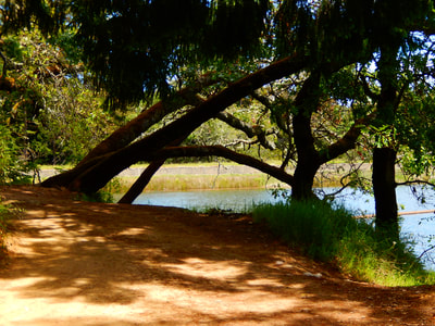
The path has wooded stretches as well as open stretches along the lake. There are a variety of deciduous and evergreen trees as well as a patch of redwoods at one area.
One open meadow was dotted with lovely wildflowers and butterflies during our May hike. Turtles were sunning themselves on a log when we walked down to a fallen tree at the water’s edge.
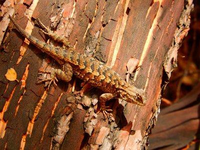
We didn’t see the salamanders we were watching for, but did see lizards skittering across the path.
There are various places to step down toward the water for a better view, with an occasional bench for breaks. There are scenic bridges dotting the loop as well. Joggers or bikers can make this a quick loop. For those who are walking, you can make this as lazy or rigorous a walk as you wish.
(Lake Lagunitas Loop Hike Notes were originally paired with the “Going in Circles” Insights post.)
Click Insights/Hike Update News for inspiring reflections. Browse hikes on the main Hikes page or on the Hike Search by Area page. Check out selected articles and interviews under Media. Click World Walks to see or share favorite family-friendly walks! Stay in touch with Lisa Louis and HikingAutism via Contact. See products with inspiring designs that support the efforts of HikingAutism under Support/Shop. The Links page lists a loose collection of helpful information links.
Check the Home page for the broader background story. If you’re not able to take one of these Northern California hikes, hopefully you can enjoy the photo galleries at the bottom of each hike page! Feel free to share and follow on Facebook at HikingAutism, follow on Twitter at @HikingAutism and Instagram at lisalouis777
