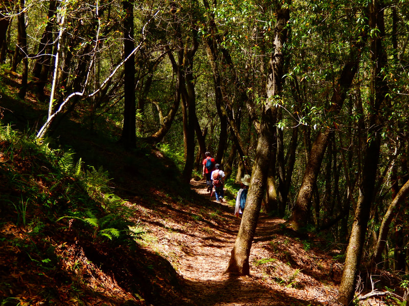
Bald Hill from Deer Park
(scroll to bottom for photo gallery)
Location:
Deer Park Parking Area and Trailhead (or input “Deer Park School” for map search), Fairfax, CA
Starting Point:
Deer Park Parking Area and Trailhead, Fairfax, CA
Location: For those on US Rte. 101, get onto Sir Francis Drake Blvd, which runs through a large section of Marin County, including Fairfax. In downtown Fairfax, from Sir Francis Drake, get onto Bolinas Road (Bolinas-Fairfax Road on some maps). This requires a tricky extra link via Pacheco Ave. or Claus Dr. and Broadway/Center Blvd., depending on which direction one is driving from. (This is what maps are made for). Follow Bolinas Road and watch for a left turn onto Porteous Ave. Follow Porteous Ave. to the Deer Park Parking Area and Trailhead, before the actual Deer Park School.
Info links:
For all web links, if a link doesn’t jump directly, copy and paste into browser.
Bald Hill info link:
https://www.marincountyparks.org/parkspreserves/preserves/bald-hill
Bald Hill map link:
https://www.marincountyparks.org/-/media/images/sites/marincountyparks/parkspreserves/preserves/bald-hill/2_baldhill-120116w.pdf
Maps and Info link list for Marin County parks and preserves:
https://www.marincountyparks.org/parkspreserves/location-list
Mt. Tam Watershed information (Marin Water):
https://www.marinwater.org/recreation
https://www.marinwater.org/mt-tam-watershed
Mt. Tam project and road status info (CA State Parks):
https://www.parks.ca.gov/?page_id=471
Mt. Tam Watershed map (Marin Water):
https://www.marinwater.org/sites/default/files/2020-09/Watershed%20Visitor%20Map.pdf
Other map options: I always have a paper map with me. For this particular hike, to see smaller trails like Buckeye marked clearly, “Map Adventures Mt. Tam Hiking and Biking Trail Map” (Map Adventures), or “A Rambler’s Guide to the Trails of Mt. Tamalpais, Muir Woods and the Marin Headlands” (Pease Press) are both good options. You can also do a Google Map search for Buckeye Trail or other specific sections of this hike. Some of the online maps above do not label those smaller trail links.
Distance:
This area offers countless hiking options, including several for getting to Bald Hill, affectionately referred to locally as “Mt. Baldy.”
The loop route described here:
Deer Park Trail(heading east from the school, notDeer Park Fire Road to the south), 0.8 miles, Buckeye Trail, 0.4 miles, Worn Spring Road/Fire Road past Yolanda Trail junction to peak (peak is 0.1 miles after passing by the junction with Upper Road West), 0.5 miles, backtrack to Yolanda Trail junction, 0.5 miles, Yolanda Trail to Six Points Trail, 0.9 miles, Six Points Trail from Six Points Junction to Deer Park Fire Road, 0.6 miles, Deer Park Road back to trailhead, 0.6 miles.
Approx. 4.3 mile loop, depending on how much walking around you do on Bald Hill Peak.
Considerations:
• Parking at Deer Park Parking Area and Trailhead near Deer Park School.
• There is a bathroom near the school, but it is not always open.
• Poison oak: Steer clear, and keep a scrub like Technu handy.
• Dogs allowed on leash.
• Check for ticks after outings.
• Bring water and sun protection. This hike has a lot of open, exposed spaces with the sun beating down and plenty of uphill exertion.
The trail:
Deer Park is a popular starting point for a wide variety of hikes. Many hikes start south of the school, past the playground area, and past the big gnarled tree to the Deer Park Road/Fire Road trailhead.
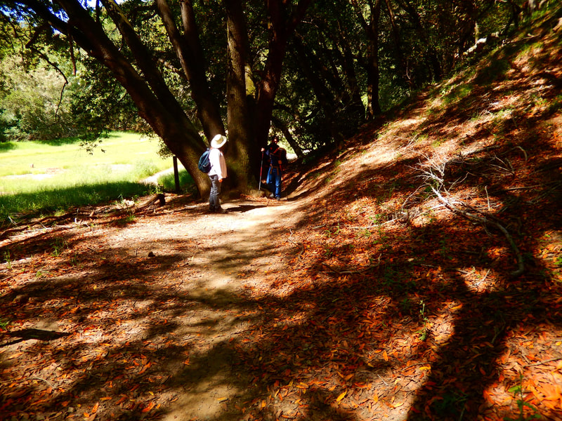
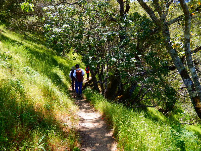
HOWEVER, for this hike, we headed east on the less visible Deer Park Trail, which zigzags through a field and scenic tree covered trails to connect to wide fire road Worn Spring Road. Taking Worn Spring Road is a fine option to get to Bald Hill, but I highly recommend taking Buckeye Trail, the narrow footpath to the right, just after the Deer Park Trail/Worn Spring Road junction.
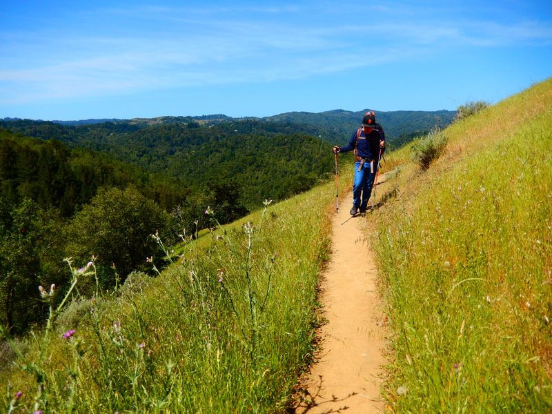
The Buckeye Trail is a lovely, scenic pathway that runs parallel just below Worn Spring Road. It is only about 0.4 miles, but adds a wonderful dimension to this hike. Fire roads are great for wide space and visibility, but narrow footpaths like the Buckeye Trail offer charm, mystery, and some tree coverage on a sunny day.
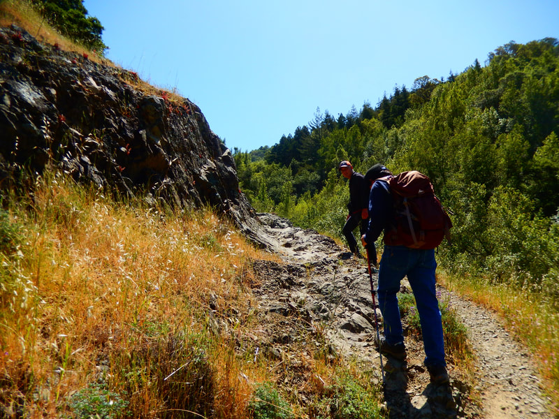
You will end up on Worn Spring Road, with only sporadic shade along much of it. Have sun protection like hats and sunblock. Be sure to have water as not only the steep grades but also the slow-chugging moderate grade climbs take a toll on hydration. (Stated by someone who typically doesn’t drink much water on hikes.)
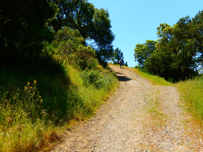
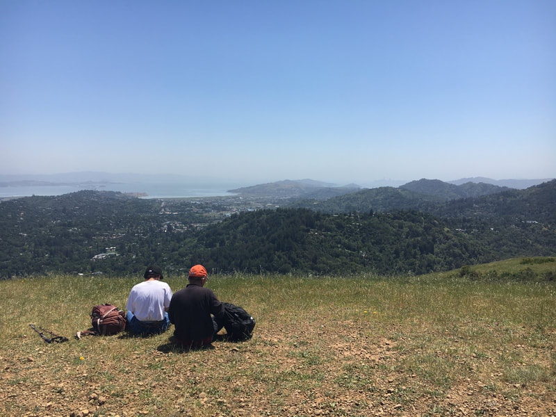
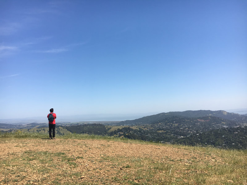
At some point, you’ll start thinking, “This next turn in the trail must be where we turn left to go to the top,” and then you’ll say that again, and then again. At some point, you will pass the Yolanda Trail junction on your right, chug up a little further and see Upper Road West to your left. Only 0.1 miles beyond that, Worn Spring Road takes you to the last uphill push to realize you’re at the wide open space at the top of Bald Hill/”Mt. Baldy.” The views are great and it’s nice to just sit on the ground and take a rest and snack break.
Knowing things are downhill from there, there will be an extra spring in your step. Go back down Worn Spring Road to the Yolanda Trail junction 0.5 miles back. Take the Yolanda Trail, just under a mile, to the Six Points Junction. This is a key trail junction for the myriad hiking options in this area.
Find the Six Points Trail toward Deer Park, and in just over half a mile you will turn right on Deer Park Fire Road, which leads back to the Deer Park School playground area, highlighted by the big old tree that looks like something from a fantasy story.
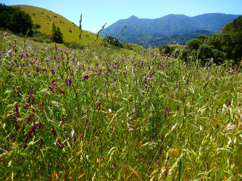
You are now within easy reach of trailhead parking again. The trails in this loop offer a variety of closed spaces, open spaces, madrone and oak trees, and wildflowers, not to mention the great views Bald Hill from Deer Park from the top. It’s worth the bit of climbing!
(Bald Hill from Deer Park Hike Notes were originally paired with the “Last Push to the Top” Insights post.)
Click Insights/Hike Update News for inspiring reflections. Browse hikes on the main Hikes page or on the Hike Search by Area page. Check out selected articles and interviews under Media. Click World Walks to see or share favorite family-friendly walks! Stay in touch with Lisa Louis and HikingAutism via Contact. See products with inspiring designs that support the efforts of HikingAutism under Support/Shop. The Links page lists a loose collection of helpful information links.
Check the Home page for the broader background story. If you’re not able to take one of these Northern California hikes, hopefully you can enjoy the photo galleries at the bottom of each hike page! Feel free to share and follow on Facebook at HikingAutism, follow on Twitter at @HikingAutism and Instagram at lisalouis777
