San Bruno Mountain – Saddle Trail
(scroll to bottom for photo gallery)
Starting Point: 555 Guadalupe Canyon Parkway, Brisbane, CA 94005
Location: San Bruno Mountain Park is on windy Guadalupe Canyon Parkway on a high ridge in Brisbane, CA. On a map, you’ll see it just east of Daly City, just south of San Francisco, and about halfway between Route 280 and Route 101. The connector roads onto Guadalupe Canyon Parkway can be tricky to find at a glance, so take a good look at a map to see how to get on the parkway. It is easy to miss the sign for San Bruno Mountain Park. It’s on the left if you’re driving eastward, and on the right if you’re driving westward.
Info/Links:
There is a very handy trail map provided by the San Mateo County Parks organization. You can pick up a free brochure/map at the entry station near the automated entry fee machine. If you don’t need to keep the paper copy, drop it off again on the way out.
For all web links, if a link doesn’t jump directly, copy and paste into browser. (Information links are sometimes changed at the source unexpectedly. We do our best to update.)
San Bruno Mountain State and County Park info link:
https://parks.smcgov.org/san-bruno-mountain-state-county-park
San Bruno Mountain Park Trails info link:
https://parks.smcgov.org/san-bruno-mountain-park-trails
San Bruno Mountain State and County Park map link:
https://parks.smcgov.org/sites/parks.smcgov.org/files/SanBrunoMtn-Sept2017-map.pdf
Distance:
The free trail map has a great list of trail options and distances. A future post will cover the southeast ridge, but this post describes a hike that starts on the Saddle Trail (2.0 miles), makes a short connection along the Old Guadalupe Trail (0.3 miles), and then takes a turn onto the southern path of the Bog Trail loop (0.5 miles), for a total of 2.8 miles.
Considerations:
• There is ample parking at the park entry area. Be sure to purchase your parking pass (a modest $6 on our last visit) at the main entrance even if you plan to drive past the main parking area up to the peak parking area for other trails. The parking pass machine is at the main entrance.
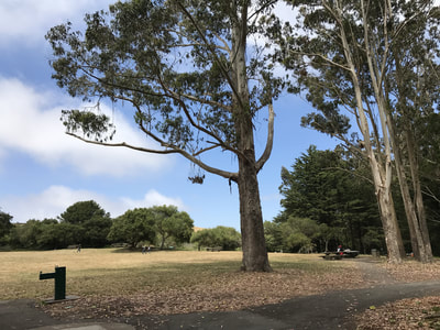
• There are toilet facilities near the main parking area, in view of the picnic table area.
• Weather can be hot and dry as easily as it can be chilly, foggy, and blustery. Layers are always a good option, and a water bottle is always good to have.
• Keep an eye out for wildflowers in spring and summer.
• Beware of poison oak, especially on the narrow passages along trails like the Bog Trail. A poison oak scrub like Technu is handy to have on any hike if you bump into poison oak inadvertently.
• As noted above, it is easy to drive past the San Bruno Mountain Park entrance sign on Guadalupe Canyon Parkway. Keep an eye out to the left when driving eastward, and to the right when driving westward. There is no stop sign and traffic zips by quickly, so use caution when entering and exiting the park entrance.
The trail:
San Bruno Mountain offers lots of hiking and jogging options. The handy map shows clear trail connections and you can do something as easy as the 0.9 mile Bog Trail loop or a several mile combination of the longer trails.
The hike in this post starts from the parking area and heads northeast on the Saddle Trail.
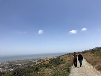
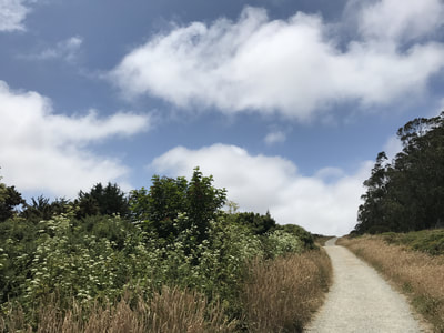
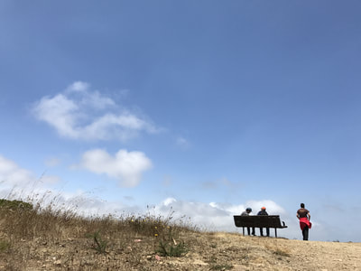
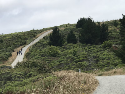
From the bathroom facility, find the start of the Saddle Trail at the edge of the picnic area. Though there are no super steep places, there are some rises and dips throughout this hike. The Saddle Trail rises up fairly quickly to a high part of the ridge, offering great views. The views roll and change as you take the twists and turns of the Saddle Trail. The path is wide, open and clear for much of this stretch, with big skies open above. This first half is great for views of the bay to the east, San Francisco to the north, and Peninsula cities to the south.
Midway on the Saddle Trail there is a sharp left turn down the Youth Camp Trail that offers a quicker end to the hike, a brief 0.5 miles back to the parking lot.
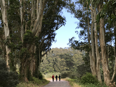
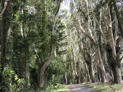
Our proposed hike does not take that turn, though, and instead continues on another 0.7 miles on the Saddle Trail where you will start seeing more trees, eventually dipping down through a wooded area to the Old Guadalupe Trail, a wide road type path. At the connection of Saddle Trail to Old Guadalupe Trail, turn left and walk through grand eucalyptus tree tunnels. Eucalyptus have their own unique sound in a strong breeze, which is more of a rustling sound than the brushy sound of wind through pine trees.
One option is to follow Old Guadalupe Trail until it turns right and heads back to the parking area (or bumps into the Youth Camp Trail, also leading back to the parking area).
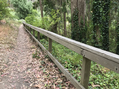
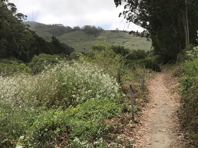
However, to enjoy a totally different flavor of pathway on one hike, we like to take the Bog Trail. A wooden fence branches off the Old Guadalupe Trail diagonally to the right when facing northeast, leading down the narrower dirt path of the Bog Trail. This is a loop trail with an option to take the more open left fork, or our preference, which is to take the right fork in the trail. This short stretch of Bog Trail goes through a cornucopia of what feels like “My Neighbor Totoro” tree tunnels, with a Tolkien/Hobbit-like gnarled tree near a small wooden bridge. The Bog Trail eventually opens back up onto the path to the parking area, passing through another grand tree tunnel to end the hike.
(San Bruno Mountain - Saddle Trail Hike Notes were originally paired with the “You Are Not Alone” Insights post.)
Click Insights/Hike Update News for inspiring reflections. Browse hikes on the main Hikes page or on the Hike Search by Area page. Check out selected articles and interviews under Media. Click World Walks to see or share favorite family-friendly walks! Stay in touch with Lisa Louis and HikingAutism via Contact. See products with inspiring designs that support the efforts of HikingAutism under Support/Shop. The Links page lists a loose collection of helpful information links.
Check the Home page for the broader background story. If you’re not able to take one of these Northern California hikes, hopefully you can enjoy the photo galleries at the bottom of each hike page! Feel free to share and follow on Facebook at HikingAutism, follow on Twitter at @HikingAutism and Instagram at lisalouis777
