Black Sands Beach
(scroll to bottom for photo gallery)
Location: Conzelman Road, Sausalito, Marin Headlands
Starting Point: Conzelman Road, Sausalito. Parking lot, toilet facility, and Upper Fisherman’s trailhead leading down to beach is approximately 0.8 miles from Hawk Hill, where the one way section of Conzelman Road starts.
Info links:
For all web links, if a link doesn’t jump directly, copy and paste into browser.
Marin Headlands info link (Golden Gate National Recreation Area/National Park Service):
https://www.nps.gov/goga/marin-headlands.htm
Marin Headlands map link:
(Scroll to the center bottom of larger map to see Black Sands Beach parking lot marker on Conzelman Road.)
https://www.nps.gov/goga/planyourvisit/upload/map_mahe_150429_508_2021.pdf
Distance:
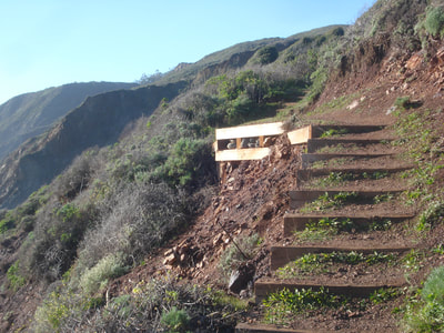
The trail and stair combination from the trailhead parking lot to the beach is less than half a mile, but it is steep enough to provide exercise that feels like a longer hike. You can make your hike longer by walking the beach from end to end.
Considerations:
• The parking lot stop for Black Sands Beach is on the left side of one way Conzelman Road with a restroom building visible. Watch carefully so as not to miss the turn as it is several miles to make the Bunker Road/McCollough Road/Conzelman Road loop back to this point.
• The sign at the trailhead says “Upper Fisherman’s” rather than Black Sands Beach. Fishing allowed, no pets, no fires.
• Weekend parking may become full early. Weekdays and mornings are a better bet for parking.
• This is considered a clothing optional beach by some.
• All beaches require vigilance for sneaker waves. Black Sands Beach doesn’t leave a lot of escape room, so pay attention in general, and particularly to high surf advisories.
• As with any trail, keep an eye out for poison oak.
The trail:
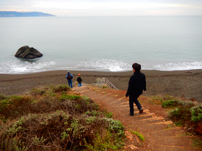
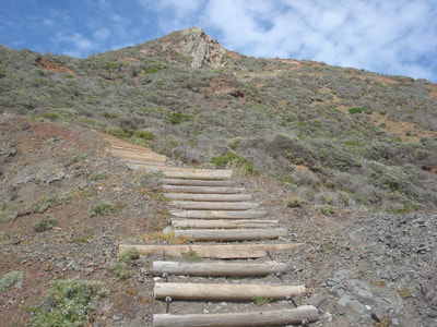
The Upper Fisherman’s Trail from the parking lot on Conzelman Road down to Black Sands Road is short but steep in places. Watch for trail signs indicating detours for trail maintenance.
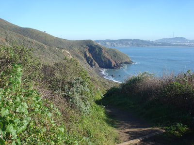
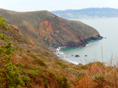
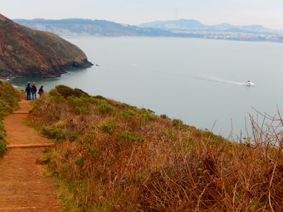
The short, steep hike offers dramatic views facing east, south, and west. From the top of the trail, as the trail starts descending toward the east, the tip of the Golden Gate Bridge is visible.
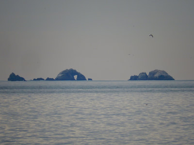
Facing across the water to the south is the western end of San Francisco, with the Veterans Hospital visible on the hill, and dramatic rock structures just off the tip of Lands End in view off shore.
The outcropping on which Point Bonita Lighthouse is perched is in view to the west.
The path is a mixture of dirt trail and stairs. Watch your footing whether descending or ascending back up. The easy climb down is countered by the steep climb back up to the parking lot.
It’s worth the walk to enjoy the views from the beach.
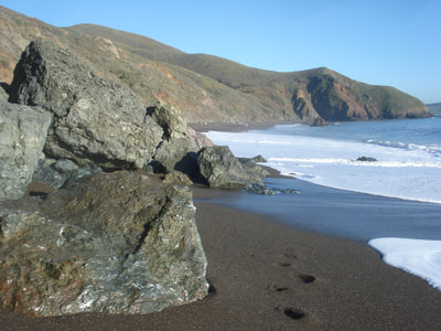
The beach width narrows by the craggy rocks on the west end, and this is where unexpected waves are more likely to surprise beach walkers.
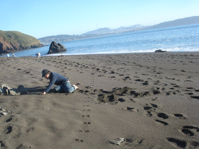
Watch for footprints of wildlife as you walk on the beach.
As noted in the Considerations section above, some people consider this to be a clothing optional beach.
Black Sands Beach is a hidden treasure that we drove past countless times before checking it out. Enjoy climbing down to this gem of the Marin Headlands.
(Black Sands Beach Hike Notes were originally paired with the “The Humility of Help” Insights post.)
Click Insights/Hike Update News for inspiring reflections. Browse hikes on the main Hikes page or on the Hike Search by Area page. Check out selected articles and interviews under Media. Click World Walks to see or share favorite family-friendly walks! Stay in touch with Lisa Louis and HikingAutism via Contact. See products with inspiring designs that support the efforts of HikingAutism under Support/Shop. The Links page lists a loose collection of helpful information links.
Check the Home page for the broader background story. If you’re not able to take one of these Northern California hikes, hopefully you can enjoy the photo galleries at the bottom of each hike page! Feel free to share and follow on Facebook at HikingAutism, follow on Twitter at @HikingAutism and Instagram at lisalouis777
