Bill Williams – Tucker Trail Waterfall Hike
(scroll to bottom for photo gallery)
Location:Phoenix Lake in the Marin Watershed
Starting Point:Start from the parking area at Natalie Coffin Greene Park, Ross, CA, near Phoenix Lake in the Marin Watershed. From Sir Francis Drake Blvd. in Ross, turn down Lagunitas Road across from the Marin Art & Garden Center, and follow Lagunitas Road (name changes to Dibblee Road at the end on Google Maps) to its end in Natalie Coffin Greene Park.
Info/Links:
For all web links, if a link doesn’t jump directly, copy and paste into browser.
Mt. Tam Watershed information (Marin Water):
https://www.marinwater.org/mt-tam-watershed
Mt. Tam project and road status info (CA State Parks):
https://www.parks.ca.gov/?page_id=471
Mt. Tam Watershed map (Marin Water):
https://www.marinwater.org/sites/default/files/2020-09/Watershed%20Visitor%20Map.pdf
Under Google Maps, key names to input include: Natalie Coffin Greene Park, Phoenix Lake Road, Bill Williams Road, Tucker Trail (towns in this area include Ross, Greenbrae, Kentfield)
Distance:
From the Natalie Coffin Greene Park parking area to Phoenix Lake is 0.2 miles. The Bill Williams Road (fire road) segment leading southeast along the east side of Phoenix Lake is variously noted as 0.5 miles and 0.7 miles. The fire road then becomes the Bill Williams Trail, which is about another 0.5 miles to the wooden bridge/creek area (a further hike continuing after the main falls which also has a wooden bridge by the creek/falls) where the trail turns back up a steep wooden stair. This then connects to the Tucker Trail/Tucker Cutoff Trail which gets a bit fuzzy on maps, but with its twists and turns, adds another 0.5 miles or so (eyeball estimate) heading back to connect to the Bill Williams Road, and then back to Phoenix Lake and the parking area. This adds up to about 2.5 miles for the whole loop.
Considerations:
• Bring a map or multiple maps. These trails get a little fuzzy in a couple of places. The maps don’t always match exactly, either. There are multiple map options for Mt. Tam and the Marin Watershed.
• Parking is limited at Natalie Coffin Greene Park. The lot is used by short term dog walkers as well as long term hiking visitors, so follow the polite protocol of waiting at the parking area entrance and waiting with engine off until someone leaves. As always, weekend and afternoon parking is typically harder. Go on a weekday if possible or go early.
• There are port-a-potties at the parking area.
• Pay attention to trail signs regarding plant and animal life, including any cautions regarding mountain lion sightings.
• Always watch for poison oak. A poison oak scrub like Technu is handy to have along.
The trail:
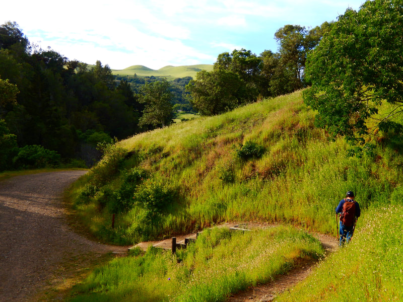
This hike starts from the Natalie Coffin Greene Park parking lot, just below Phoenix Lake. There is a pleasant little rising walk to get to the edge of Phoenix Lake, which is a starting point for many hikes in several directions. Phoenix Lake deserves its own photo gallery, so this gallery does not include Phoenix Lake photos, which will be featured in their own post. A good portion of this hike does include great lake views, but the photo gallery here emphasizes the Bill Williams and Tucker Trails.
Once up to the lake edge of Phoenix Lake, hang a left and follow the easy-to-walk Bill Williams Fire Road that edges along the lake. There’s about a half mile of pretty lake views before the fire road becomes a narrower trail.
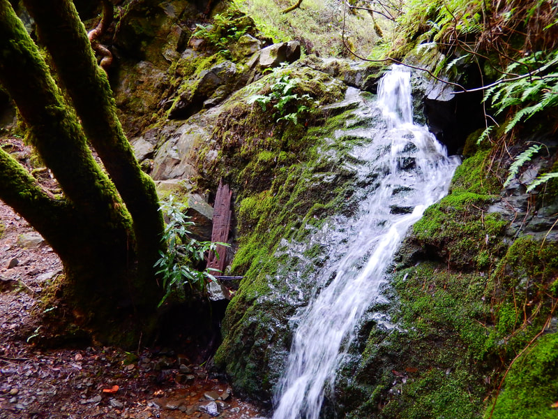
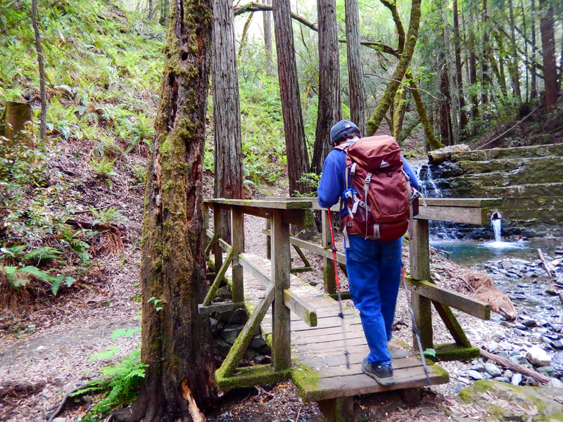
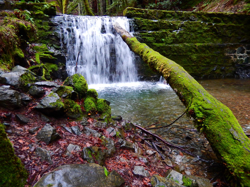
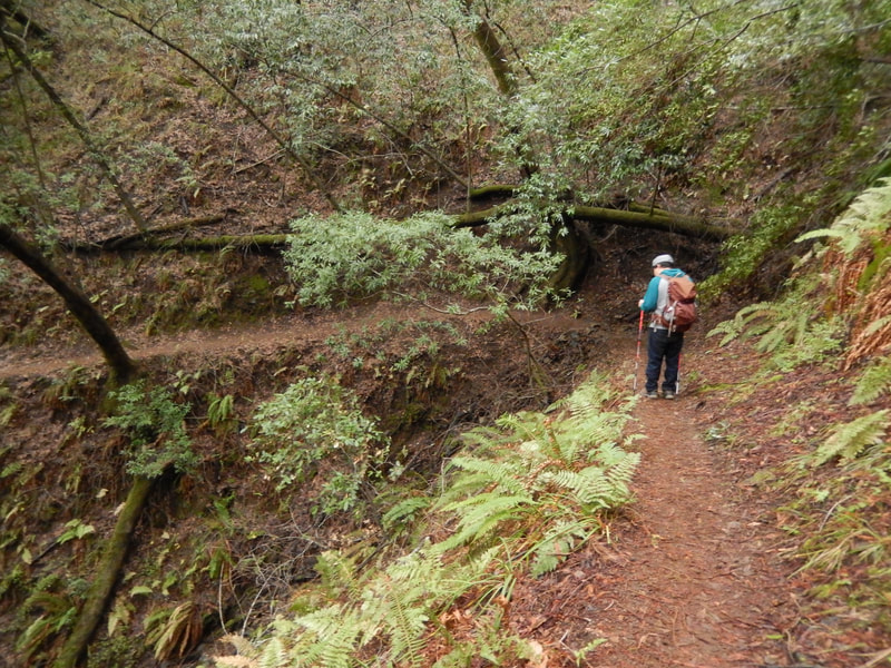
This narrower Bill Williams Trail leads through woodsy forest stretches, including moss-covered redwoods. The path parallels a creek, with a small wooden bridge leading up to the highlight of the trail, an old stone structure that makes for a strong waterfall spot in wet winters, and can be just dry rocks in hot summers. Sitting along the top edge above the falls is great for a little break.
Heading on forward from the falls gets a little fuzzy as the creek surface and debris makes it a bit of a task to see where the trail continues on, but it does.
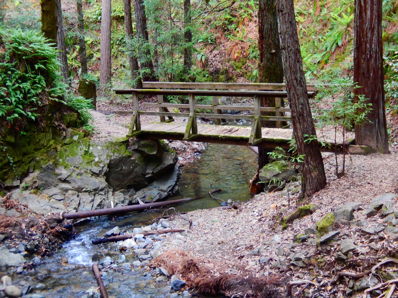
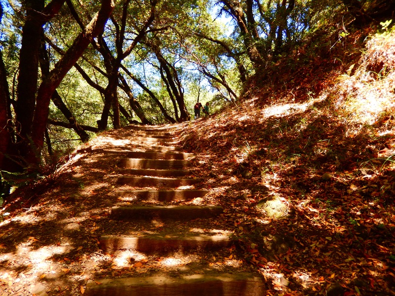
When you reach the wooden bridge over the creek bed, you are at the key turn-back spot of this hike. The little bridge is in a charming wooded area, and once crossed, leads to one of my favorite stairways among many lovely forest stairways in Marin. Dark and moody on a cloudy day, dappled light and shadow charming on a sunny day, these steps lead back up to the return trail.
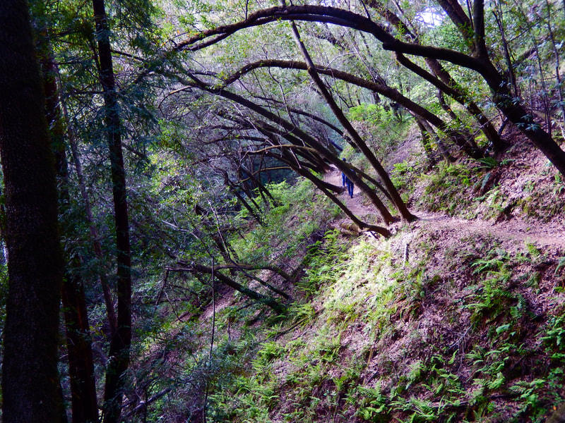
The Tucker Trail, taking it north, not south, will lead you back toward Phoenix Lake. It can be a bit confusing as there is also a branch that cuts over to Kentfield, but you want Tucker Trail toward Phoenix Lake. This stretch of the hike always feels deceptively long to me, like I somehow missed a turnoff, but it does take a while to get through this woodsy section of trail, more oaks and other trees along this part, to get back. Shortly before the Tucker Trail reaches the Bill Williams Fire Road, there is a connection to the Harry Allen Trail. Make sure to continue west and northward toward the fire road and lake at this point, rather than taking a turn to the south.
The return walk offers the comforting view of Phoenix Lake, a great starting and end point for many hikes in this area.
(Bill Williams – Tucker Trail Waterfall Hike Hike Notes were originally paired with the “Favorite, Secret Places” Insights post.)
Click Insights/Hike Update News for inspiring reflections. Browse hikes on the main Hikes page or on the Hike Search by Area page. Check out selected articles and interviews under Media. Click World Walks to see or share favorite family-friendly walks! Stay in touch with Lisa Louis and HikingAutism via Contact. See products with inspiring designs that support the efforts of HikingAutism under Support/Shop. The Links page lists a loose collection of helpful information links.
Check the Home page for the broader background story. If you’re not able to take one of these Northern California hikes, hopefully you can enjoy the photo galleries at the bottom of each hike page! Feel free to share and follow on Facebook at HikingAutism, follow on Twitter at @HikingAutism and Instagram at lisalouis777
