Mussel Rock and Paragliders
(scroll to bottom for photo gallery)
Mussel Rock Park, Skyline Dr. and Westline Dr., Daly City, CA 94015
Location: Located a short drive south of San Francisco at the border of Daly City and Pacifica, Mussel Rock Park can be reached from the north or south via CA Highway 1. Watch for exit signs noting Manor Drive or Monterey Rd./Palmetto Ave. Get on Palmetto Ave. on the west side of Highway 1. Drive north, following the curves up the hill until you see Westline Drive at the main bend in Palmetto Ave. Follow Westline Drive past Skyline Drive to reach the parking lot for Mussel Rock Open Space, which is near an old dump site.
Mussel Rock Park Beach info link (if a link doesn’t jump directly, copy and paste into browser) (Information links are sometimes changed at the source unexpectedly. We do our best to update.):
https://www.californiabeaches.com/beach/mussel-rock-park-beach/
Map with trails:
(The Ridge Trail web site below offers a downloadable PDF map, click link within the site for a printable map)
http://ridgetrail.org/sweeney-ridge-to-milagra-ridge-pacifica-to-mussel-rock/
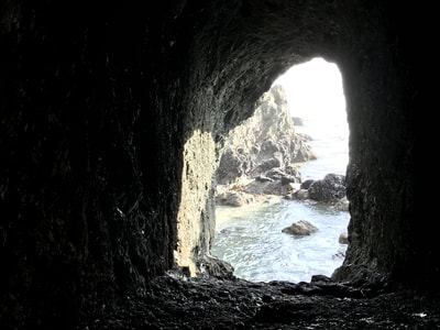
Distance: Though it is possible to do a several mile beach hike from Mussel Rock Park to Thornton Beach and Fort Funston Beach (a hike at the north end of Mussel Rock Park will appear in a future Hike Notes post), these Hike Notes are about the shorter walk from the Mussel Rock parking lot, down through the paragliding takeoff and landing sites, to the lower trail that turns sharply back south to Mussel Rock itself, and a visually stunning rock tunnel. From the parking lot to the lower trail, turning back south to Mussel Rock itself, and then returning to the parking lot may only add up to a mile round trip, but the hills offer a moderate workout for the shorter distance, and the views are amazing.
Considerations:
One web site says amenities here include toilets, but I have only seen a portable toilet here when there is construction going on in the area, and the toilet was padlocked, closed to general visitors. Don’t plan on having toilet facilities available.
Pay attention to signs regarding safety for yourself (cliff erosion, etc.) and dogs if you’re bringing them. Coyotes have snatched more than one off-leash dog here.
The parking lot has a reasonable amount of space, but there are some pretty major potholes and rough road patches to watch out for.
The trail:
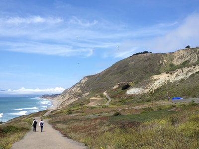
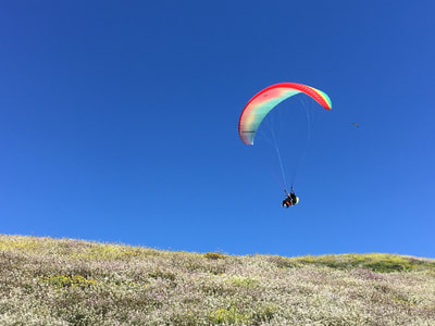
From the parking area, facing north with the ocean to your left, you look out above numerous paragliding takeoff and landing sites. With luck, you’ll see people out flying. The gravel trail leads downward facing north. In this direction, you can see that the beach connects all the way north to Fort Funston in San Francisco.
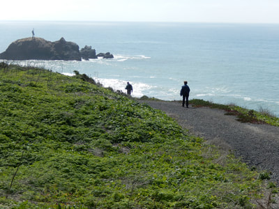
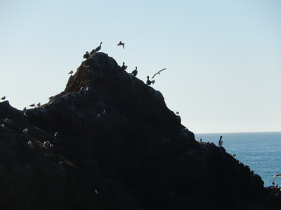
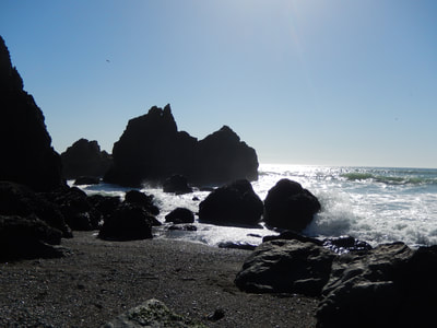
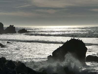
Today’s notes are about the lower trail facing south to Mussel Rock. Once down the gravel trail, you’ll find a trail running parallel to the coast edge. Make a sharp turn back toward the south, with the ocean on your right. Follow the cliff edge trail past large rocks, one with residual bits of an old structure. Sea birds often rest on these rocks, including large flocks of pelicans at times.
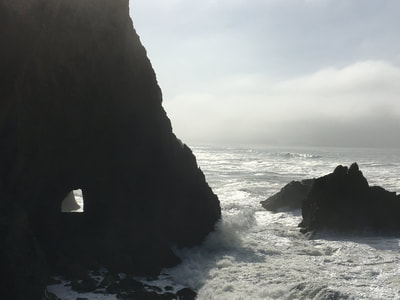
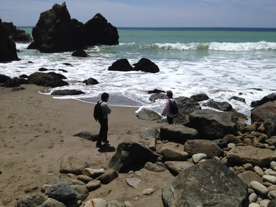
Walking south, you’ll approach the large rock with a tunnel cut through. A steep, rocky climb gets you down to the small beach if tide levels allow. Always keep your wits about you with tides and sneaker waves, especially on small narrow beaches like Mussel Rock Beach.
The mussel-covered rocks are beautiful when you can get close enough at low tide. If you are feeling sure footed and the tide is low, you can climb up the rocks into the tunnel through the large rock. There’s a beautiful view through the other side facing Pacifica.
The waves, the light, and seabirds make this a visual delight on every visit. We’ve visited on blazing sun, blue sky days, and on dark and mysterious sky days that make the world look like a black and white photo. We love both. Layers are always a good idea as the wind offshore can make a sunny day feel chilly. Mussel Rock is always a great choice for a short but refreshingly beautiful walk.
(Mussel Rock and Paragliders Hike Notes were originally paired with the “Hiding in Plain Sight” Insights post.)
Click Insights/Hike Update News for inspiring reflections. Browse hikes on the main Hikes page or on the Hike Search by Area page. Check out selected articles and interviews under Media. Click World Walks to see or share favorite family-friendly walks! Stay in touch with Lisa Louis and HikingAutism via Contact. See products with inspiring designs that support the efforts of HikingAutism under Support/Shop. The Links page lists a loose collection of helpful information links.
Check the Home page for the broader background story. If you’re not able to take one of these Northern California hikes, hopefully you can enjoy the photo galleries at the bottom of each hike page! Feel free to share and follow on Facebook at HikingAutism, follow on Twitter at @HikingAutism and Instagram at lisalouis777
