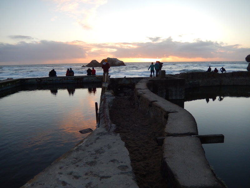
Sutro Baths
(scroll to bottom for photo gallery)
Location:Sutro Baths, 1004 Point Lobos Ave., San Francisco, CA 94121
Starting Point:Park in the Lands End Lookout Main Parking Lot, entrance on Point Lobos Ave., just west of El Camino Del Mar/48thAve. The road along the Sutro Baths overview is still noted as Merrie Way on maps, but was renovated to be part of the parking arrangement rather than a connecting road to Point Lobos. Parking is also available along El Camino Del Mar, or at the parking lot near the USS San Francisco Memorial.
Info/Links:
For all web links, if a link doesn’t jump directly, copy and paste into browser.
Cliff House and Sutro Baths info link (National Park Service):
https://www.nps.gov/goga/planyourvisit/upload/sb-clho-2008-3.pdf
Lands End info link (National Park Service):
https://www.nps.gov/goga/planyourvisit/landsend.htm
Map with trails (National Park Service):
https://www.nps.gov/goga/planyourvisit/upload/LE_Pad_Map508.pdf
Sutro Baths Accessibility info link:
https://www.nps.gov/goga/planyourvisit/sutro-baths-accessibility.htm
Distance:
You can make this just a viewing stop, parking near the Lands End Lookout visitor center, viewing the bath ruins from above, or you can choose any number of pathways viewable from the map link above, some of which are described under “The Trail” below.
Considerations:
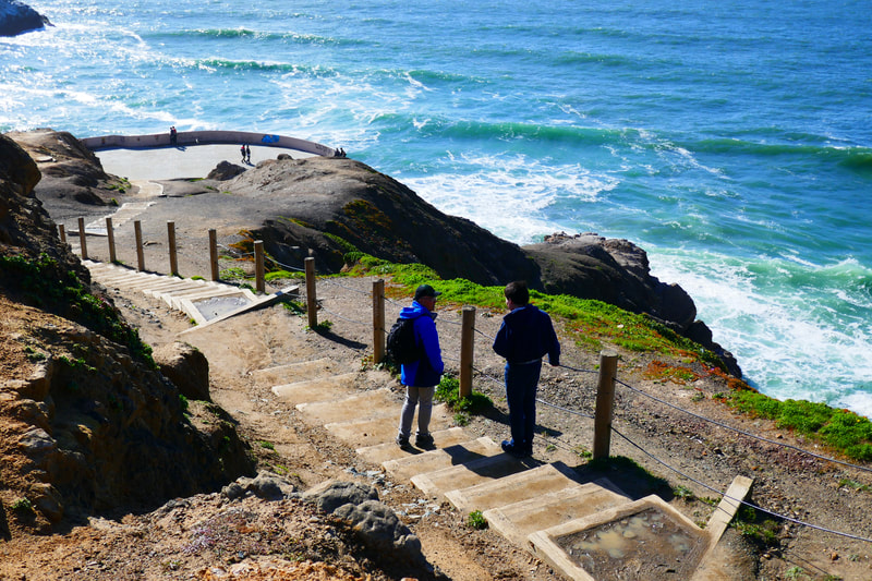
• Getting to the Sutro Bath ruins involves steep stairs or rocky pathways. Those who are not up for the stairs and steep paths can still enjoy a glorious view and the Lookout visitor center.
• Parking is available at the Lands End Lookout parking lot, but that often gets full, so we typically park on El Camino Del Mar. As always, weekend and afternoon parking is typically harder. Go on a weekday if possible or go early.
• Toilet facilities are available at the Lands End Lookout visitor center.
• Slippery sandals or high heels are not recommended for the descent to the Sutro Bath ruins. Reasonable walking shoes recommended.
• Heed any posted warning signs. They are there for good reason.
The Trail:
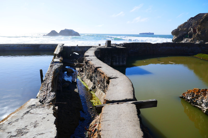
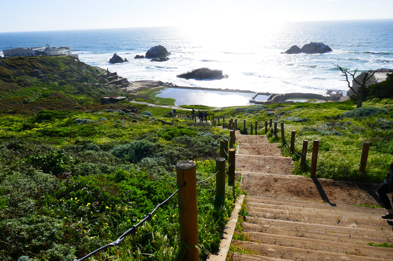
You can walk down the steep stairs from the Lookout parking lot and do the loop around the bath ruins, walking across remaining concrete pathways to see how low the tide is near Seal Rocks and the Cliff House, and bushwhack your way back up faded paths to return to the parking area from the sidewalk where the path lets out near Louis’ Diner, or take the path that leads back to the stairs you descended from.
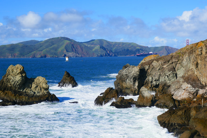
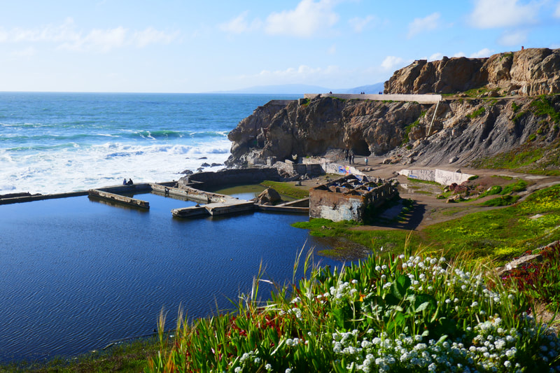
You can also opt to walk down the parking lot stairs and take the rising path toward the right to a higher overlook above the bath ruins, which offers a better view toward the Marin Headlands and the Golden Gate Bridge area.
It is also great to enjoy the Sutro Baths as a starting or ending point for a longer hike, following the Lands End Trail toward better Golden Gate Bridge views.
One of our favorite options, for an easy walk but still making sure we get moving a bit, is to park near the USS San Francisco Memorial site above the Lands End Trail. The USS San Francisco Memorial is worth a stop to read the history of the Battle of Guadalcanal, one of the most harrowing in U.S. military history, with part of the actual hole-ridden hull of the ship acting as anchor to the memorial site.
We then walk down one of the sidewalk stairs that connects to lower trails and make our way along twists and turns to the pathway leading down stairs to the upper viewing platform above the baths, and then make the steep final descent to the Sutro Bath tunnels. After our wave viewing session, we walk along the narrow concrete ruin paths toward the big rock that, at very low tide, can be accessed by foot.
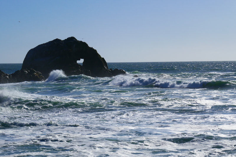
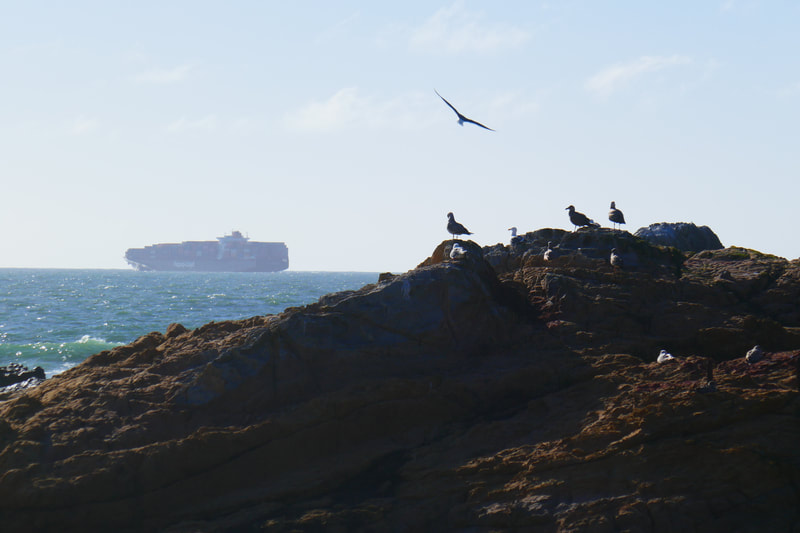
We often have a little break on the concrete ruins below the Cliff House, looming to the south, with Seal Rocks in view before us, watching seagulls and container ships go by.
From there take the sandy bushwhacking trail back up the hill leading back toward the Lookout parking area. A rising trail to the right leads to an opening to the sidewalk near Louis’ Diner, with a sidewalk ascent back to the parking lot. A turn to the left leads back behind the bath pools to a trail that takes you back to the steep stairs back up to the parking lot.
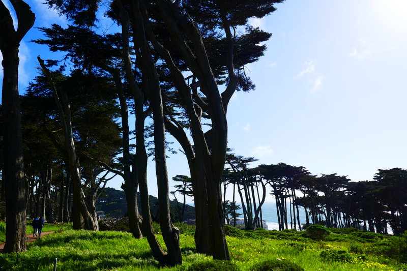
Whether just viewing from the vista spot in the parking lot, or making this part of a longer hike along the Lands End Trail, there are visual delights on foggy days as well as sunny.
(Sutro Baths Hike Notes were originally paired with the “Light At the End of the Tunnel” Insights post.)
Click Insights/Hike Update News for inspiring reflections. Browse hikes on the main Hikes page or on the Hike Search by Area page. Check out selected articles and interviews under Media. Click World Walks to see or share favorite family-friendly walks! Stay in touch with Lisa Louis and HikingAutism via Contact. See products with inspiring designs that support the efforts of HikingAutism under Support/Shop. The Links page lists a loose collection of helpful information links.
Check the Home page for the broader background story. If you’re not able to take one of these Northern California hikes, hopefully you can enjoy the photo galleries at the bottom of each hike page! Feel free to share and follow on Facebook at HikingAutism, follow on Twitter at @HikingAutism and Instagram at lisalouis777
