South Rodeo Beach Trail
(scroll to bottom for photo gallery)
Location: Battery Alexander Parking off Field Road, Mill Valley, CA, Marin Headlands
Starting Point: Trailhead for the South Rodeo Beach Trail is from the Battery Alexander Parking area (with toilet facility), off Field Road in the Marin Headlands, between the Nike Missile Site and Point Bonita Lighthouse.
Info links:
For all web links, if a link doesn’t jump directly, copy and paste into browser. (Information links are sometimes changed at the source unexpectedly. We do our best to update.)
South Rodeo Beach Trail information link (Golden Gate National Parks Conservancy):
https://www.parksconservancy.org/trails/south-rodeo-beach-trail
Marin Headlands Map link (National Park Service) (scroll down to bottom left for detailed map of Batteries Loop Trail):
https://www.nps.gov/goga/planyourvisit/upload/map_mahe_150429_508_2021.pdf
Marin Headlands information link (National Park Service):
https://www.nps.gov/goga/marin-headlands.htm
Marin Headlands information link (Golden Gate National Parks Conservancy):
https://www.parksconservancy.org/parks/marin-headlands
Also recommended for those visiting Battery Alexander and other batteries from this parking lot:
Batteries Loop Trail information link (National Park Service):
https://www.nps.gov/goga/planyourvisit/batteries-loop-trail.htm
Battery Alexander historical information link (militarymuseum.org):
http://www.militarymuseum.org/BtyAlexander.html
Distance:
This is a short walk, noted as 0.2 miles on the trailhead sign. If you park at the far side of the parking lot and add a bit of distance that way, you can turn this into 0.3 miles out and 0.3 miles back for 0.6 miles round trip, but the southern end of Rodeo Beach doesn’t offer a lot of walking distance during the times that the tides keep visitors from safely walking the north end of Rodeo Beach, so walking this trail alone makes for a short walk. It is uphill, including stairs, on the way back from the beach, though, so that adds some cardio even for the short distance. Visitors can add the Batteries Loop Trail-Marin Headlands walk from the same parking lot to add walking distance and enjoy a variety of scenery.
Considerations:
• This is a fairly big parking lot, but as always, weekdays and earlier in the day on weekends typically mean fewer visitors.
• There is a toilet facility at this parking lot.
• Watch out for poison oak. A scrub like Technu is handy for accidental exposure.
• Dress in layers. Hot sunny skies can turn to cold blustery winds in the blink of an eye.
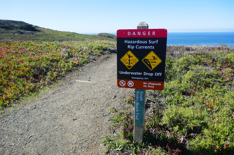
• Pay attention to trail safety and wildlife information signs.
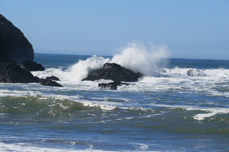
• Beach rule: Never turn your back on the ocean. The beaches along this part of the coast have frequent sneaker waves, which can take any beach goer by surprise. Check tide charts online to see if you’re at a lower or higher tide.
The trail:
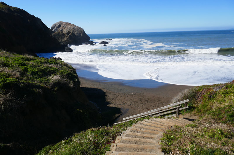
From the Battery Alexander parking area, walk facing the ocean and find the trailhead sign (opposite side from the toilet building). Several destinations and distances are noted, but the trail toward the ocean is the South Rodeo Beach Trail, noted as 0.2 miles. From the parking area to the beach is a downhill walk, including the dirt and gravel path and wooden stairways closer to the beach.
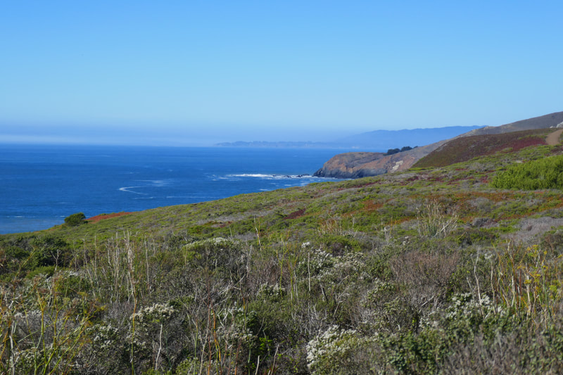
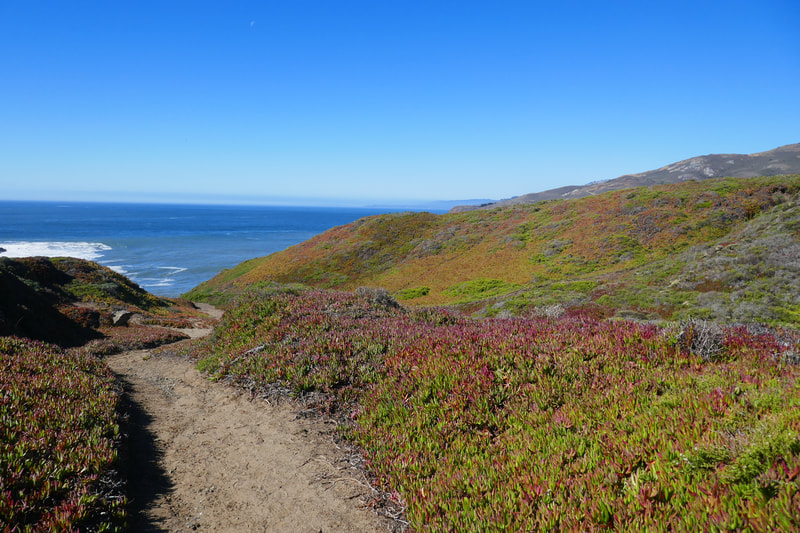
Toward the opening part of the trail, walkers pass through a fairly flat section bordered by coyote brush and ice plants, which glow in a colorful red and green combination for part of the year.
There are wooden steps built into the trail at one point, followed again by the dirt path. At this point walkers are getting into a little hill and valley section that leads down toward the beach.
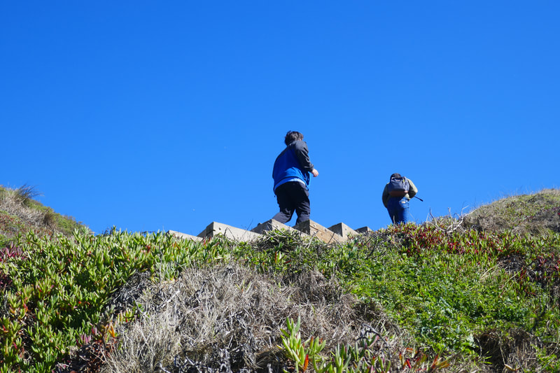
The dirt trail becomes embedded stairs again until a sharper set of wooden stairs that leads more steeply down to the southern section of Rodeo Beach.
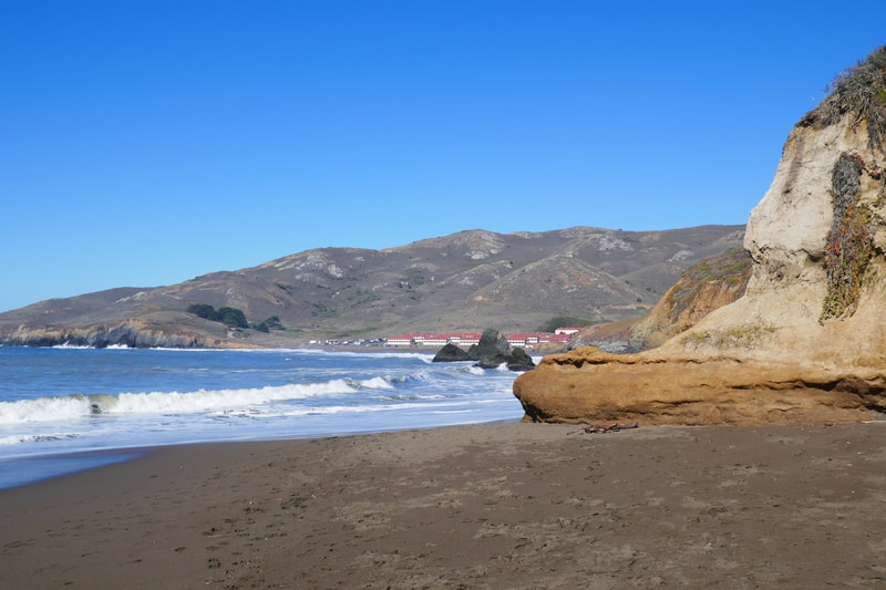
Face north to see the main stretch of Rodeo Beach with the red-roofed white buildings of Fort Cronkhite across the water. Follow that visual landline as it juts into the ocean in the distance, and on a clear day, the outline of Chimney Rock in Point Reyes is visible.
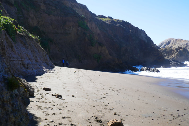
This end of Rodeo Beach doesn’t offer a long walking distance. We went at the midday low tide, and the water was still far too high to walk past rocks and connect to the main part of Rodeo Beach. Sneaker waves are always a danger, especially on very small sections of beach, so following beach safety rules is a must.
Though only 0.2 miles, getting back to the parking lot means climbing back up multiple sets of stairs and inclined trails, so the short distance still offers a bit of a cardio workout. For those who want to add some distance to this walk, take the trails from the north end of this same parking lot that lead to Battery Alexander and other historic batteries.
Other Marin Headlands hikes to check out are noted in Batteries Loop Trail-Marin Headlands, Tennessee Point Labyrinth, Battery Townsley, Hill 88 from Rodeo Beach, Rodeo Lagoon Loop – Marin Headlands, Marin Headlands Visitor Center to Rodeo Beach and Old Bunker Road or other Hike Notes under Marin County under Hike Search by Area.
(South Rodeo Beach Trail Hike Notes were originally paired with the “Short and Sweet” Insights post.)
Click Insights/Hike Update News for inspiring reflections. Browse hikes on the main Hikes page or on the Hike Search by Area page. Check out selected articles and interviews under Media. Click World Walks to see or share favorite family-friendly walks! Stay in touch with Lisa Louis and HikingAutism via Contact. See products with inspiring designs that support the efforts of HikingAutism under Support/Shop. The Links page lists a loose collection of helpful information links.
Check the Home page for the broader background story. If you’re not able to take one of these Northern California hikes, hopefully you can enjoy the photo galleries at the bottom of each hike page! Feel free to share and follow on Facebook at HikingAutism, follow on Twitter at @HikingAutism and Instagram at lisalouis777
