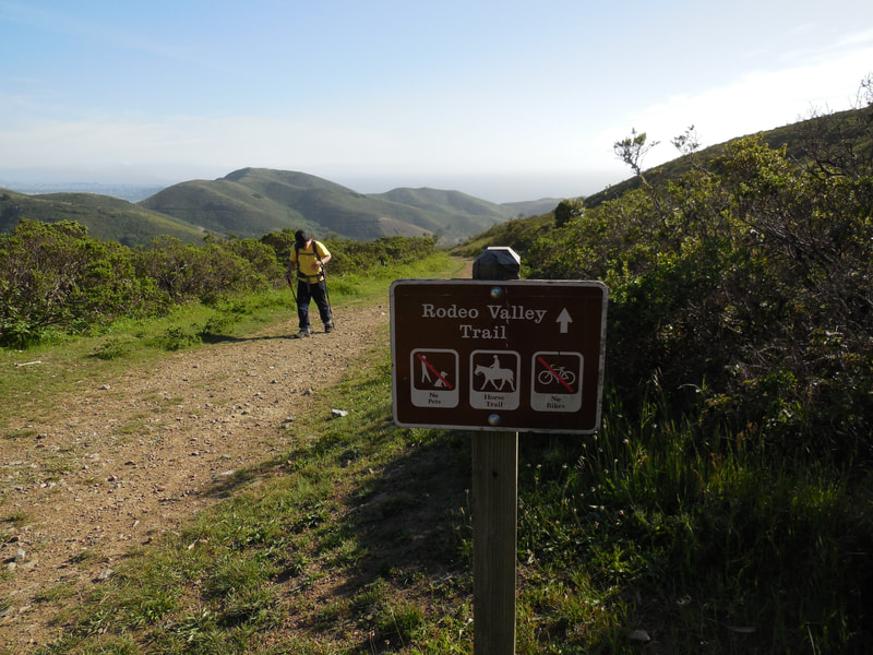
Rodeo Valley Trail-Marin Headlands
(scroll to bottom for photo gallery)
Location: Rodeo Valley Trail, Marin Headlands, Sausalito, initially paralleling Bunker Road.
Starting Point: Gerbode Valley Trailhead parking lot (Presidio Riding Club Trail parking lot) at Bunker Road near the intersection with Simmonds Road.
Info links:
For all web links, if a link doesn’t jump directly, copy and paste into browser.
Marin Headlands info link (Golden Gate National Recreation Area/National Park Service):
https://www.nps.gov/goga/marin-headlands.htm
Marin Headlands Map (National Park Service):
https://www.nps.gov/goga/planyourvisit/upload/map_mahe_150429_508_2021.pdf
Distance:
From the Gerbode Valley Trailhead parking on Bunker Road (near Simmonds Road) to the trail junction with the SCA trail (near a hairpin turn at Wolfback Ridge Road) is about 2 miles. From there it’s a short 0.2 mile connector trail to the Alta Trail and the Morning Sun Trail, for those who wish to hike a little farther for higher views.
Considerations:
• The parking area is fairly large.
• There is a vault toilet at the east end of the trailhead parking area.
• Follow health, safety signs, and wildlife information signs.
• Having a poison oak scrub like Technu is handy for any trail.
• As with any Bay Area outing, bring layers. You may be hot in the sun one moment and shivering under fog and a chilly breeze the next.
The trail:
The Gerbode Valley is the low elevation starting area for hikes that rise up for better views, including sections of the popular Miwok Trail and Bobcat Trail.
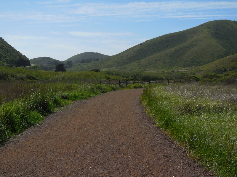
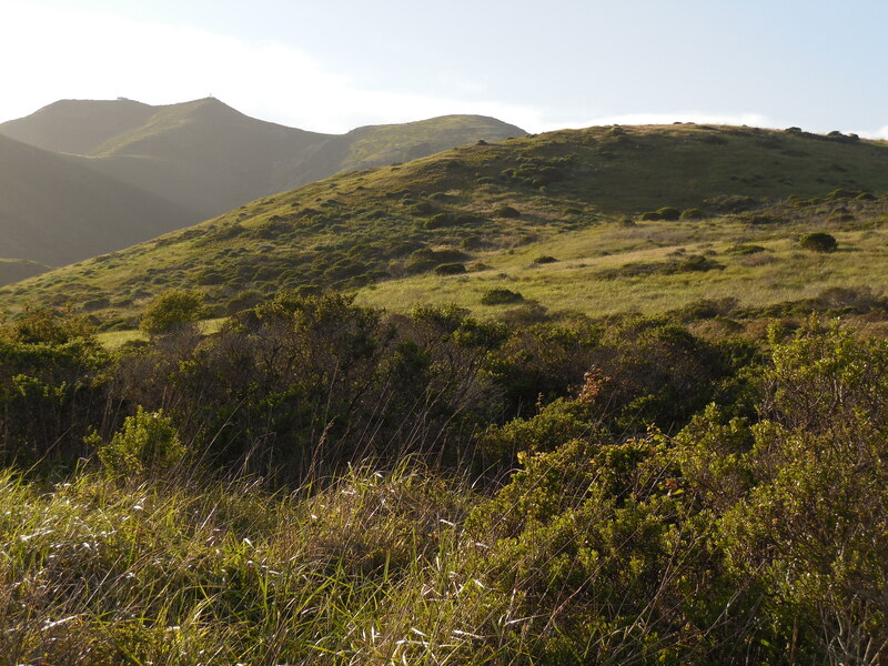
The less-frequently mentioned Rodeo Valley Trail offers a pleasant, relatively flat walk through the valley heading northeast toward the Golden Gate Bridge.
On the way, walkers might take a short detour along the long, wooden footbridge that leads back toward Bunker Road and McCullough Road, for those of us who just can’t resist walking along wooden footbridges.
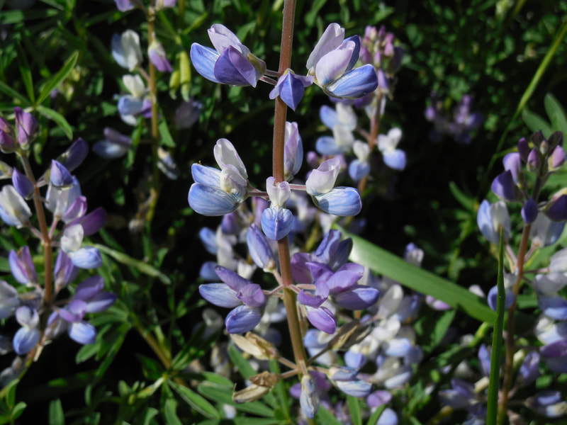
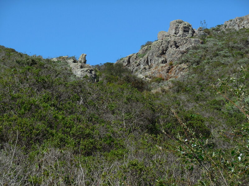
Back on the Rodeo Valley Trail heading north/northeast, the rolling hills occasionally offer interesting patches of rocks, reflecting the fascinating geology of the Marin Headlands, and a variety of wildflowers appear at different times of year, including orange California poppies and lovely purple lupine.
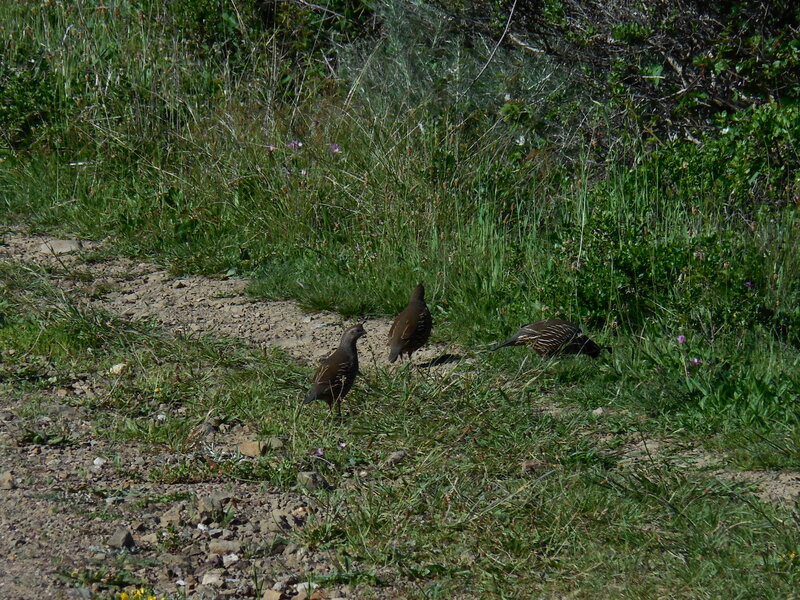
We’ve seen deer, California quail, hawks and buzzards, snakes, lizards, and coyotes in the area. The mountain lions do well at staying hidden.
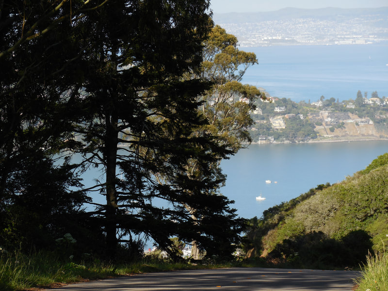
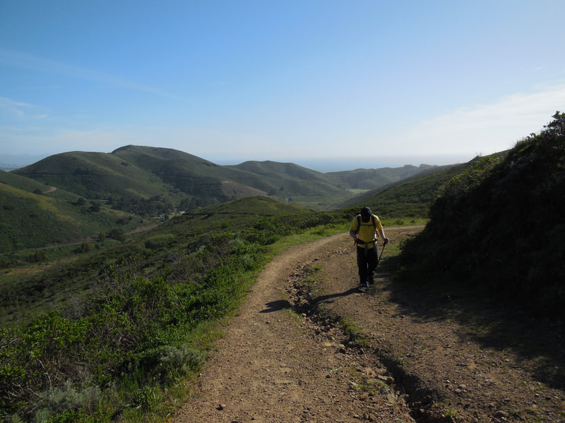
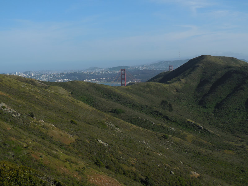
The elevation rises more sharply the further northeast you walk. Once hikers reach the Wolfback Ridge hairpin curve, options include looking for the Alta Trail trailhead at the north side that rises to higher elevations and a connection with the Morning Sun Trail, or instead going south to the SCA Trail. On our hike, we found a scenic rocky outcropping for a snack break while looking at the rolling hills, and the Golden Gate Bridge peeking out behind the hills.
The hike back to the trailhead is easier because it’s downhill!
Other hikes to try from near this location in the Marin Headlands: Tennessee Point Labyrinth, Battery Townsley, Hill 88 from Rodeo Beach, Rodeo Lagoon Loop-Marin Headlands, Old Bunker Road, Batteries Loop Trail-Marin Headlands, and South Rodeo Beach Trail.
(Rodeo Valley Trail-Marin Headlands Hike Notes were originally paired with the “Over the Ridge” Insights post.)
Click Insights/Hike Update News for inspiring reflections. Browse hikes on the main Hikes page or on the Hike Search by Area page. Check out selected articles and interviews under Media. Click World Walks to see or share favorite family-friendly walks! Stay in touch with Lisa Louis and HikingAutism via Contact. See products with inspiring designs that support the efforts of HikingAutism under Support/Shop. The Links page lists a loose collection of helpful information links.
Check the Home page for the broader background story. If you’re not able to take one of these Northern California hikes, hopefully you can enjoy the photo galleries at the bottom of each hike page! Feel free to share and follow on Facebook at HikingAutism, follow on Twitter at @HikingAutism and Instagram at lisalouis777
