Cataract Trail to Cataract Falls
(scroll to bottom for photo gallery)
Location: Cataract Trailhead, Bolinas-Fairfax Road, Bolinas, CA 94924
Starting Point: Cataract Trailhead located at the extreme hairpin turn on Bolinas-Fairfax Road, near the southwest tip of Alpine Lake, a short distance south of the intersection with Kent Pump Road.
Info links:
For all web links, if a link doesn’t jump directly, copy and paste into browser.
Mt. Tam State Park brochure link (California State Parks):
https://www.parks.ca.gov/pages/471/files/MountTamalpaisSPFinalWebLayout110816.pdf
Mt. Tam Watershed information (Marin Water):
https://www.marinwater.org/mt-tam-watershed
Mt. Tam project and road status info (CA State Parks):
https://www.parks.ca.gov/?page_id=471
Mt. Tam Watershed map (Marin Water):
https://www.marinwater.org/sites/default/files/2020-09/Watershed%20Visitor%20Map.pdf
Distance:
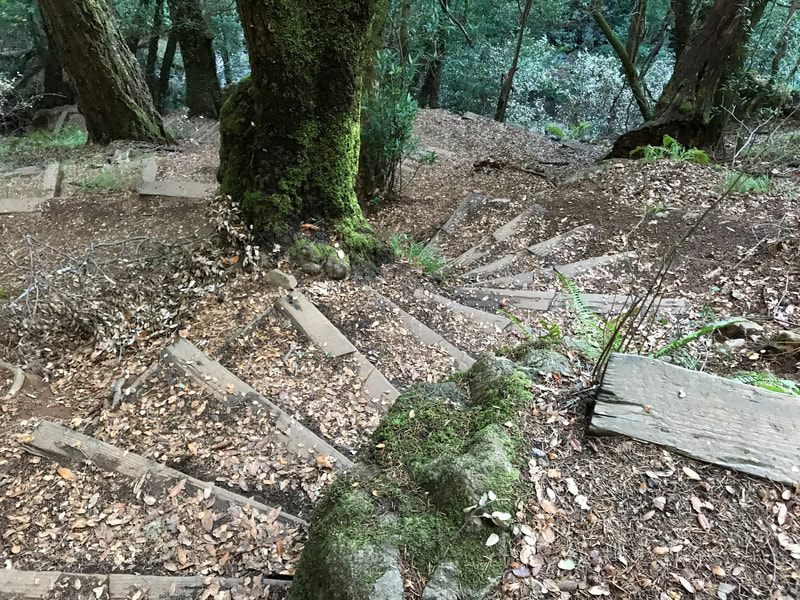
The trail maps indicate a relatively short 0.6 miles from the hairpin turn trailhead to one fall noted as Cataract Falls, but we went an extra 0.7 miles on the Cataract Trail to reach the Cataract Falls along the creek further south, for 2.6 miles round trip. There are plenty of steep hills to ascend and descend, some with rustic stairs built in, offering extra challenge for what appears to be a short walk but doesn’t really feel like it.
Considerations:
• The drive along Bolinas Road, also noted as Bolinas-Fairfax Road, is slow and scenic. Part of the outing is enjoying the drive and trying to figure out if you’ve hit the correct turn in the road.
• There is limited parking in the sharp bend of the turn, as well as limited parking on the road side, making sure not to block the road.
• As is always the case, trailheads are easier to park at on weekdays and earlier in the day rather than on a weekend afternoon.
* There was a port-a-potty toilet facility at the hairpin turn parking area on our visit.
* Dressing in layers, using sun protection, and having water are advised for any hike.
• Be aware of poison oak along any trail. Scrubs like Technu are good to have in case of contact.
• Check the information links above for various alerts, including road closures.
The trail:
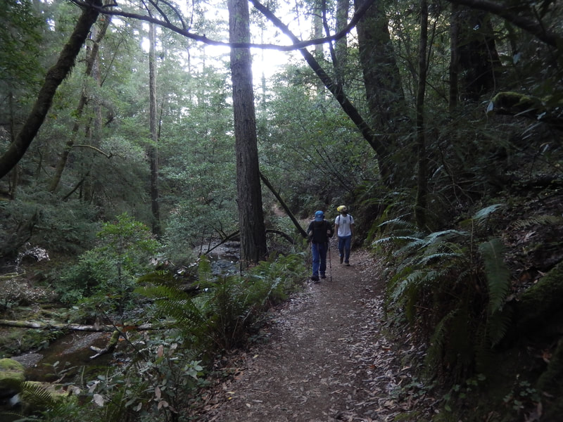
Cataract Falls is a destination around which a variety of hikes can be constructed. I’ve visited from a number of different trails, all of which have their charms, but my favorite was the relatively short but extremely scenic Cataract Trail from the hairpin turn trailhead near the southwest end of Alpine Lake, a bit south of the intersection with Kent Pump Road.
All of my visits to Cataract Falls have been on weekday afternoons, when hikers are sparse and we had the trails mostly to ourselves. On every visit, though, I sensed that Cataract Falls is a heavily trafficked visitor site on weekends.
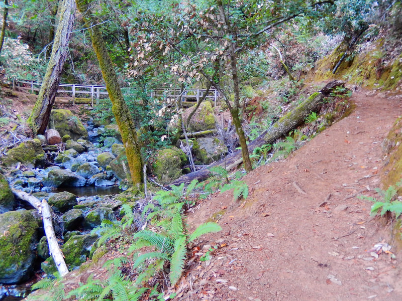
Starting out near the southwest end of Alpine Lake at the hairpin turn, the trail starts on the east side of Bolinas-Fairfax Road, by the lake. Charming wooden footbridge followed by charming wooden stairs, and earthy steep trail, all that in a short stretch before hitting a long steep set of stairs for one of the main ascents.
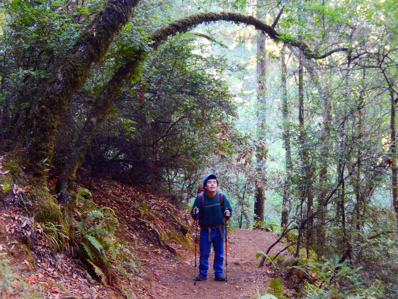
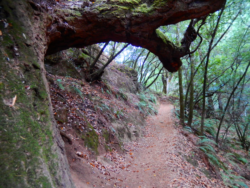
Earthy trails through old tree growth lead down and back up again, ending up on some of the magically charming old stone stairways that are hallmarks of my favorite stretches of trail in Marin.
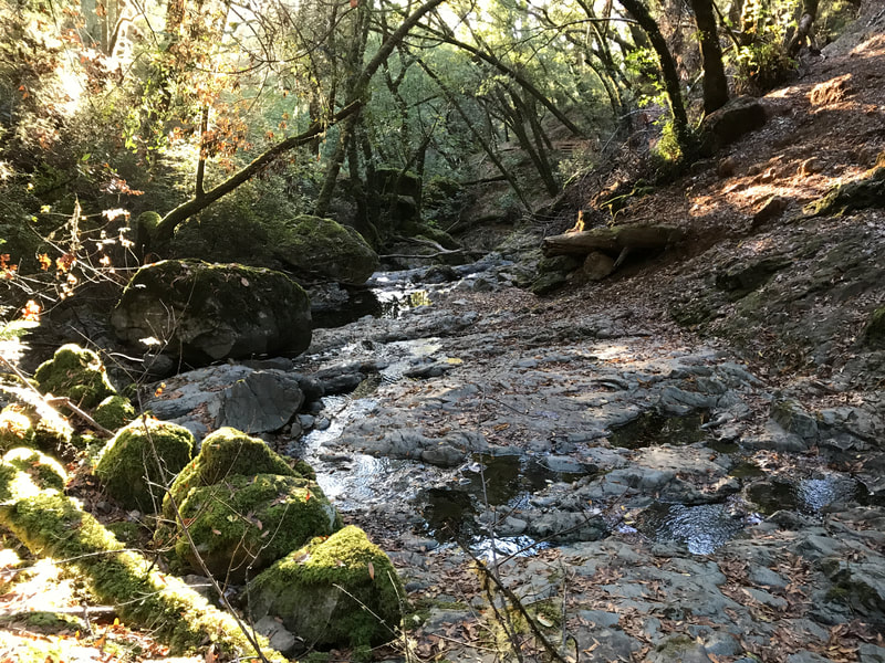
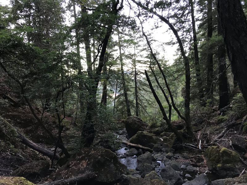
Rocky creeks, tree tunnels, and more scenic stairs cut into the hills make this an iconic example of a Mt. Tam Watershed hike.
The rustic log and wood bridge over the creek offers one of the most photogenic spots on this trail, before hiking onward to Cataract Falls.
More woodsy, root-filled trail segments lead past a lower creek pool area, then upward on stone steps and trail leading to Cataract Falls themselves.
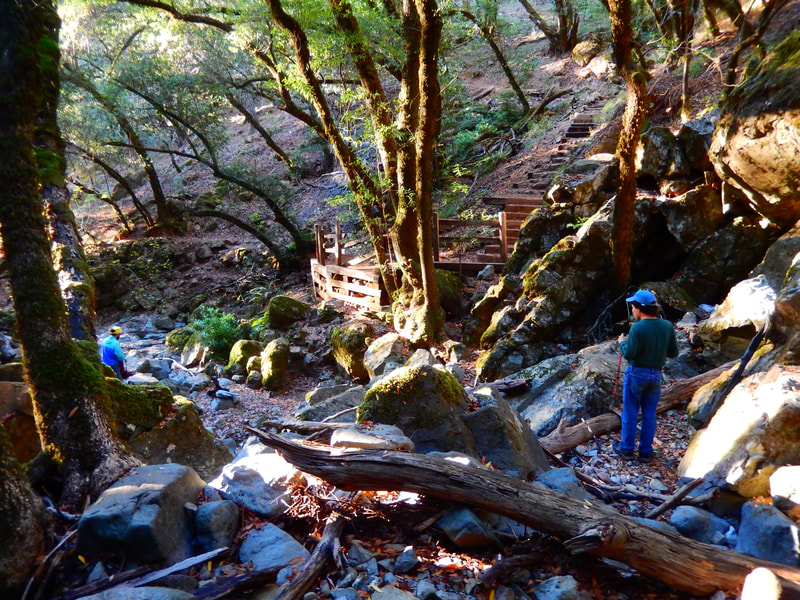
In times when the water is not running strong to announce the falls, arrival at Cataract Falls is indicated by the wooden structure and stairs leading down to the creek bed extending out from the steep rocky falls area. Rocks or a log make a fine spot to sit and have a snack.
Though loop hikes are great because the scenery is different for the entire walk, out-and-back hikes like this Cataract Trail to Cataract Falls hike offer scenery that looks just as enticing when facing the other direction.
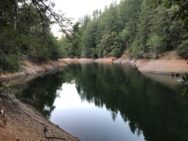
The wood and stone stairs, wooden bridges, and other memorable stretches of this trail lead back to the trailhead to finish with a pretty view of the southern tip of Alpine Lake.
(Cataract Trail to Cataract Falls Hike Notes were originally paired with the “Going With the Flow, 100 Times and Beyond” Insights post.)
Click Insights/Hike Update News for inspiring reflections. Browse hikes on the main Hikes page or on the Hike Search by Area page. Check out selected articles and interviews under Media. Click World Walks to see or share favorite family-friendly walks! Stay in touch with Lisa Louis and HikingAutism via Contact. See products with inspiring designs that support the efforts of HikingAutism under Support/Shop. The Links page lists a loose collection of helpful information links.
Check the Home page for the broader background story. If you’re not able to take one of these Northern California hikes, hopefully you can enjoy the photo galleries at the bottom of each hike page! Feel free to share and follow on Facebook at HikingAutism, follow on Twitter at @HikingAutism and Instagram at lisalouis777
