Avalon Canyon (renamed Daisaku Ikeda Canyon)
(scroll to bottom for photo gallery)
Location:
Avalon Drive, Daly City, CA 94015
Starting Point:
Avalon Drive (runs parallel to Skyline Drive): The paved walkway into the canyon is just north of Northridge Drive, and just south of Korean First Baptist Church
Info links:
For all web links, if a link doesn’t jump directly, copy and paste into browser.
Avalon Canyon (Daisaku Ikeda Canyon) info link:
http://wikimapia.org/38490595/Avalon-Canyon-Daisaku-Ikeda-Canyon
Map links:
Under Google Maps, key names to input: Avalon Canyon, Daly City, Daisaku Ikeda Canyon
Distance:
Though I wasn’t able to find an official trail distance from Avalon Drive down to the beach, my estimate is that the walk down the twisting path is a little less than half a mile. Add a bit of walking on the beach and the round trip is one mile, but a steep one mile.
Considerations:
• Though noted in some links as being part of the Golden Gate National Recreation Area, I don’t see Avalon Canyon listed in their official information.
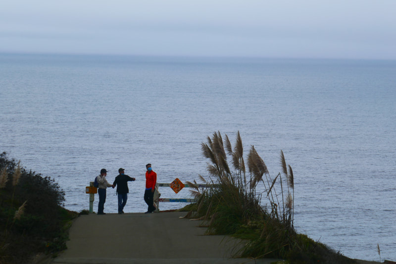
• This site is listed as “temporarily closed” and is not officially maintained for regular visitors. At the time of our visit, the vehicle gate was locked, but pedestrian gate was open for walkers and dog walkers.
• There is roadside parking along Avalon Drive close to Northridge.
• There are no toilet facilities here.
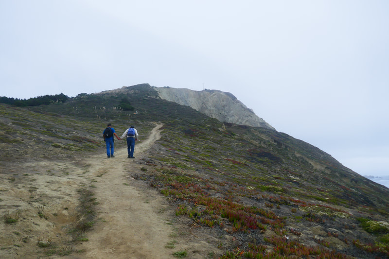
• Pay attention to warning signs about erosion and dangerous cliffs, especially if taking the rising trail for the vista view before following the paved path down to the beach.
• Do not walk along the broken asphalt edge where the road has clearly broken away. Stay on the safe side of the water pipe where a trail has been worn for walkers to be on the safe side of the path.
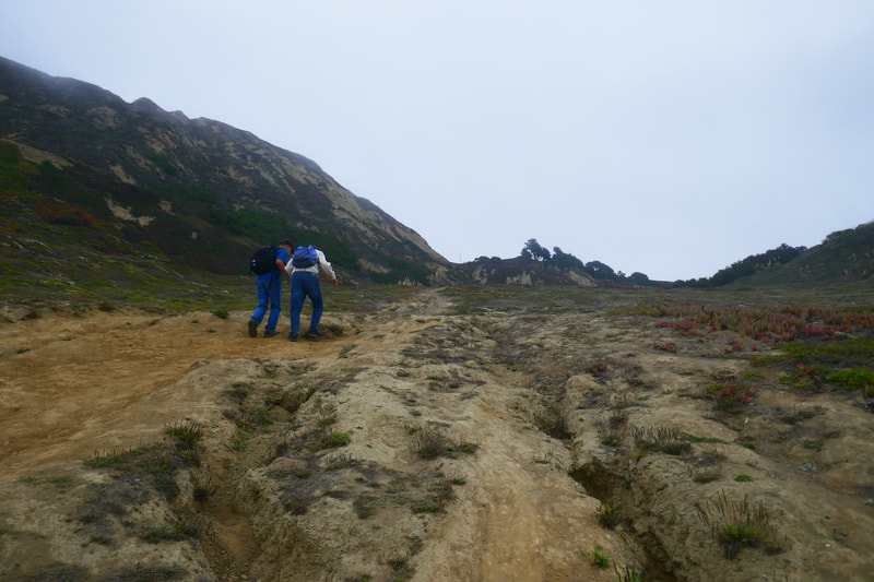
• This is not a long walk, but it is steep. Remember you have to climb back up after going down. Allow time for breaks to catch breath on the way back.
• Opening/closing of trails and facilities subject to change due to health and safety status.
• Never turn your back on the ocean. Sneaker waves can hit at low tide as well as high tide.
The trail:
This is in some ways a simple trail. Start at the top of the hill, follow the winding path less than half a mile to the beach. Turn around and climb back up. It’s an open view once past an initial tree lined stretch, so you really cannot get lost.
Having said that, this trail was a pleasant surprise to us, and was a visual treat at every turn. Having lived in the area for decades, and looking for someplace “new” to go within a short distance, I noticed this green area on the map, and was shocked to see a place we’d never heard of or been to before, right close to home.
The suburban street where the path starts is lined with typical Daly City houses. No one would expect the grand view that opens up from this unassuming location.
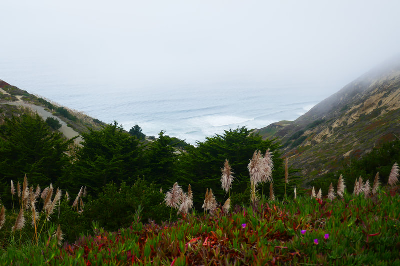
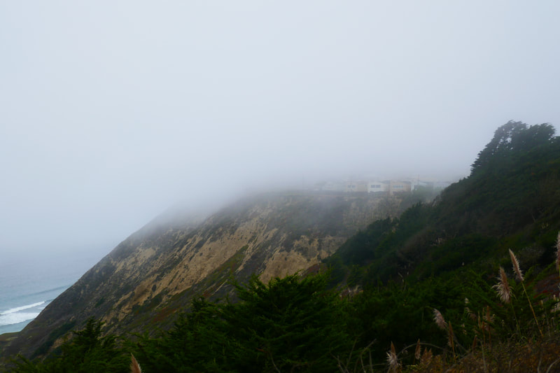
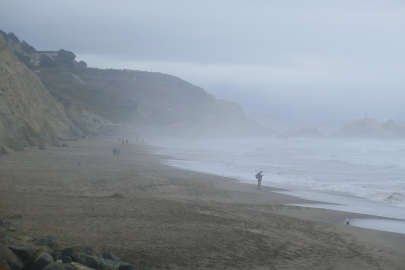
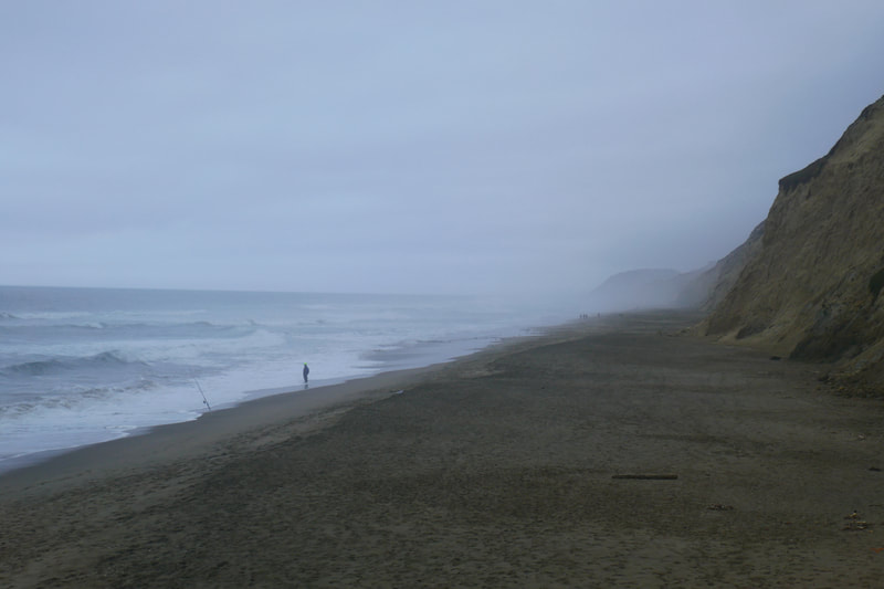
On top of that, our visit day was very gray and overcast. I figured that I’d have to come back on a clearer day to get decent photos. Turns out that gray and moody is perfectly suitable for this walk. Mist over the mountains descending into the canyon made for great ambience.
A peek through the mesh gate before entering the path area proper reveals a dramatic dipping canyon view. Once on the path, hills rise to the left and trees block the view for a short stretch with the canyon dropping down to the right. Not far along, there is a dirt path that rises up to the left from the asphalt path, with a warning sign about cliff dangers. The vista view from that rise is great, but use extreme caution. This stretch of coast is famous for sudden crumbling of cliffs. What looks like the edge of a cliff to peek over is often an overhang of land that is already carved out underneath, making for a very unstable place to step, especially with a several hundred foot drop.
The asphalt road is a wind-and-turn path that shows gradually evolving views of the canyon walls, the Pacific with the beach opening up below, and a view to the south that includes rising hills to the left, and a view of Pedro Point to the south/left when you finally get down to beach level.
Partway down there is a sharp turn with warning signs, and clear evidence that the asphalt road has crumbled away at the cliff edge. Avoid the road here, and instead take the dirt path on the safe side of the big water pipe. Better safe than sorry.
The smooth asphalt roadway stops at a certain point, and walkers need to navigate a steep dirt path with hardened mud ridges in some parts, and slick, smooth parts in others.
The view from the shore is glorious. This section of beach melds into the north end of Mussel Rock Park (see the post about the south end of this area, Mussel Rock and Paragliders), one of the most stunning stretches of beach I’ve ever enjoyed walking. I haven’t written it up as a hike because the already iffy rock path we navigated to get down from Mussel Rock Park became almost impassable due to rock slides and erosion. I hope to add that to the Hike Notes one day when a safer path is available.
We were surprised to see that there are plenty of people who walk down this steep path at Avalon Canyon, whether out for a neighborhood walk, to walk a dog, or to fish from shore.
The out-and-back view isn’t boring, since walkers enjoy a broad view of the Pacific going down, and absorb the interesting textures and colors of the canyon wall surfaces on the way back up.
All in all, for a short distance, this packs a lot of visual punch, and gives a reasonably good cardio workout, especially on the way back up.
(Avalon Canyon Hike Notes were originally paired with the “From Under the Mist” Insights post.)
Click Insights/Hike Update News for inspiring reflections. Browse hikes on the main Hikes page or on the Hike Search by Area page. Check out selected articles and interviews under Media. Click World Walks to see or share favorite family-friendly walks! Stay in touch with Lisa Louis and HikingAutism via Contact. See products with inspiring designs that support the efforts of HikingAutism under Support/Shop. The Links page lists a loose collection of helpful information links.
Check the Home page for the broader background story. If you’re not able to take one of these Northern California hikes, hopefully you can enjoy the photo galleries at the bottom of each hike page! Feel free to share and follow on Facebook at HikingAutism, follow on Twitter at @HikingAutism and Instagram at lisalouis777
