Pillar Point Bluff
(scroll to bottom for photo gallery)
Location: Pillar Point Bluff, Moss Beach, CA (south of Fitzgerald Marine Reserve and north of Half Moon Bay)
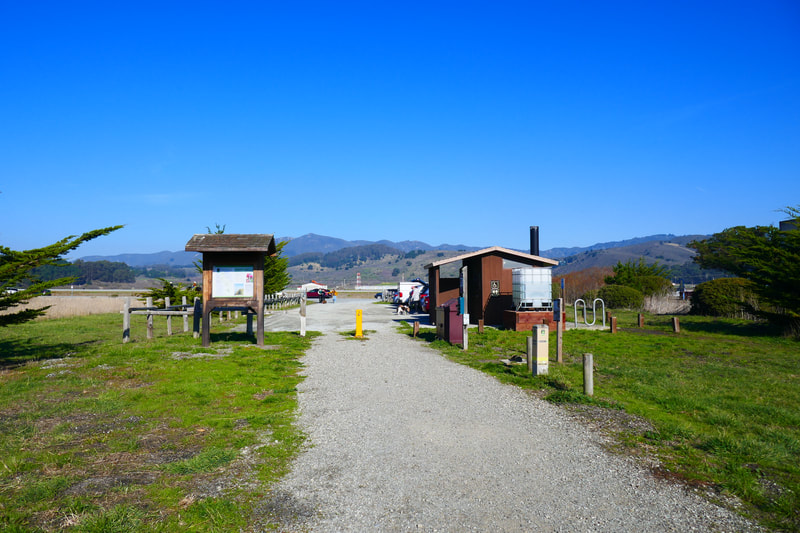
Starting Point: Pillar Point Bluff parking area, Airport Street, Moss Beach, CA. A short wooden boardwalk connects to the Pillar Point Bluff Trail and then the Jean Lauer Trail.
Info/Links:
For all web links, if a link doesn’t jump directly, copy and paste into browser.
Pillar Point Bluff info link (County of San Mateo):
https://www.smcgov.org/parks/pillar-point-bluff
Pillar Point Bluff map link (County of San Mateo):
https://www.smcgov.org/media/126441/download?inline=
Distance:
The Pillar Point Bluff area covers 220 acres, with a variety of trails to choose from. Visitors can make a short out and back visit to the top of the bluff for the ocean view, or can create longer hikes by taking the newer, smoother trails like the Jean Lauer Trail, or older, rougher trails like Frenchman’s Reef Trail.
Considerations:
• The Pillar Point Bluff parking area has ten parking spots, including one ADA disability parking spot.
• There is an ADA accessible toilet at the parking area.
• Sunny or overcast, this open bluff can be windy. Dressing in layers is always a good option.
• Cliff erosion is a constant issue along this stretch of coast. Keep distance from cliff edge.
• Dogs are allowed on leash.
• Avoid contact with poison oak. Technu or another scrub helps in case of contact.
• Check for ticks if in contact with brush.
• Be aware of wildlife and health and safety notices.
The trail:
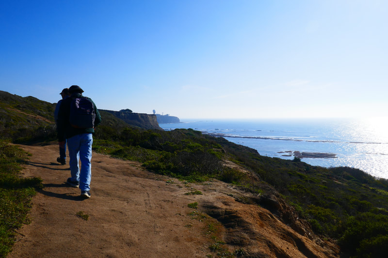
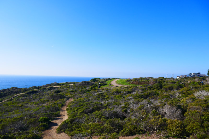
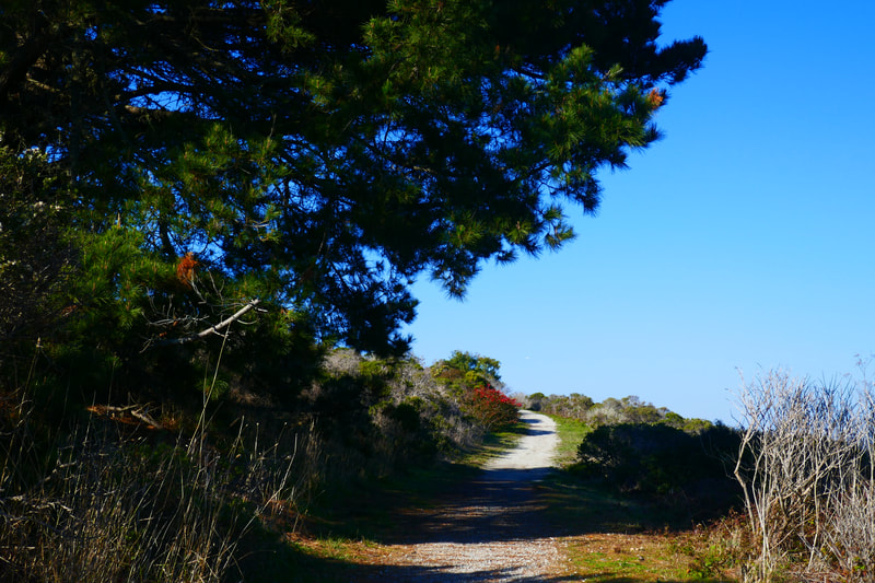
Starting from the Pillar Point Bluff parking area, we walked the wooden boardwalk that crosses over a marshy area (filled with the sound of frogs in spring) that connects to the Pillar Point Bluff Trail, with the option to go right heading northwest or south going southeast. We headed northwest and made our way up the moderate inclines past bushes and low trees until we reached the dirt trails where the bluff plateaued into relatively flat terrain.
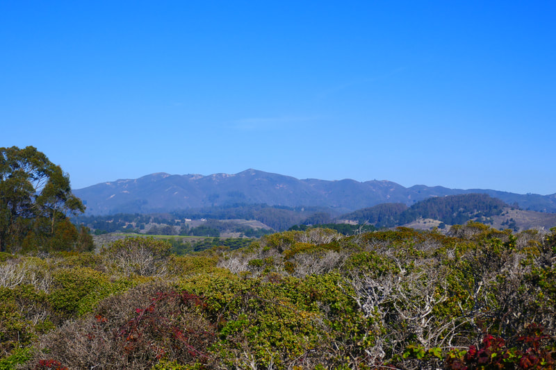
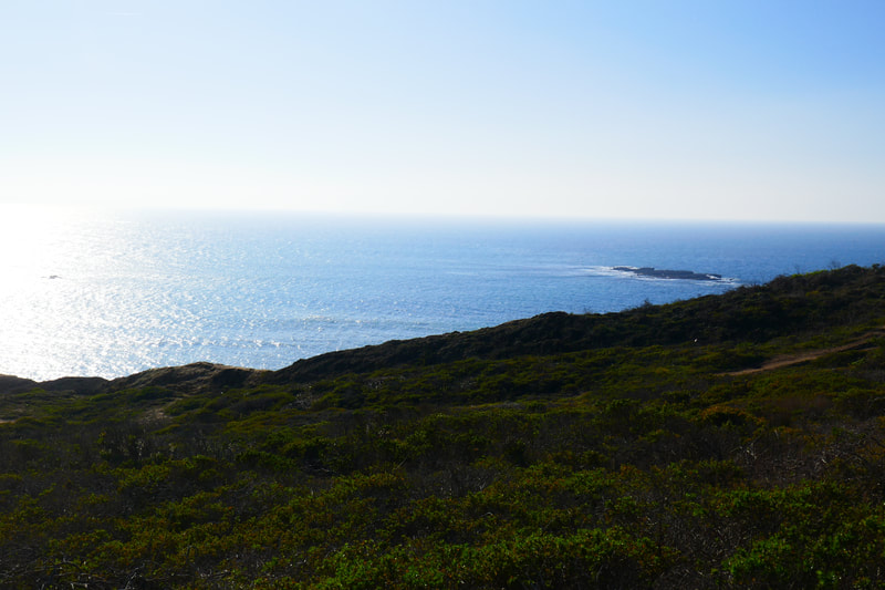
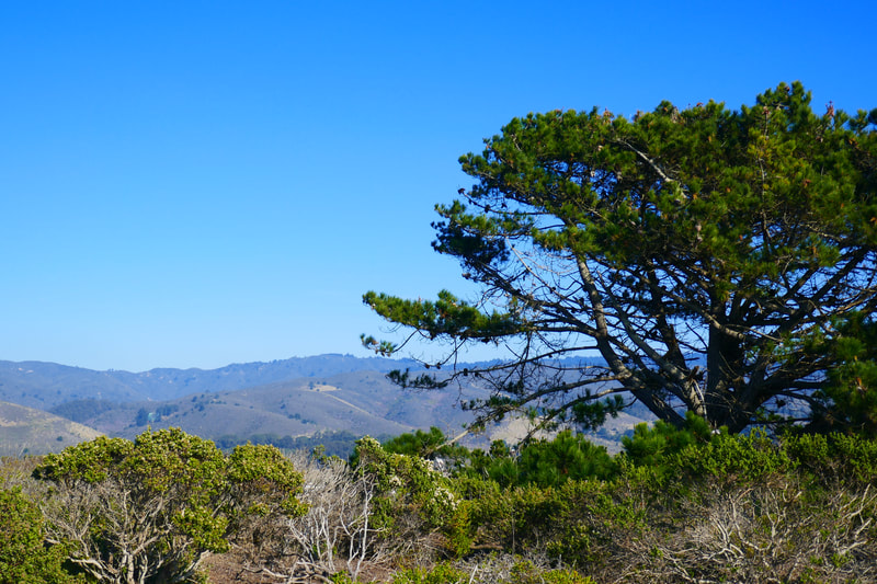
Looking north, we could see houses that mark part of the way toward the Fitzgerald Marine Reserve. To the east, mountains were the backdrop for small planes coming in and out of the Half Moon Bay Airport. Straight west we could see the Pacific Ocean, with the Mavericks big surf area a bit to the south. Looking south, we saw the big white orb and other structures of the Pillar Point Air Force Station.
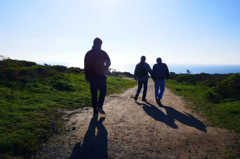
The Jean Lauer Trail is a newer gravel path that loops around the middle section of Pillar Point Bluff, and makes for flat, easy walking. We enjoyed rambling along the older, rougher trails of Frenchman’s Reef Trail and Ross’ Cove Trail. We’ve seen the edge of the cliffs erode even in short intervals between visits on this stretch of coast, so visitors should use caution near these unstable cliffs.
The big white globe of the Pillar Point Air Force Station always looks like something out of a sci-fi or adventure movie, and also always reminds me of the Mavericks big surf event as that’s an easy marker above Mavericks Beach.
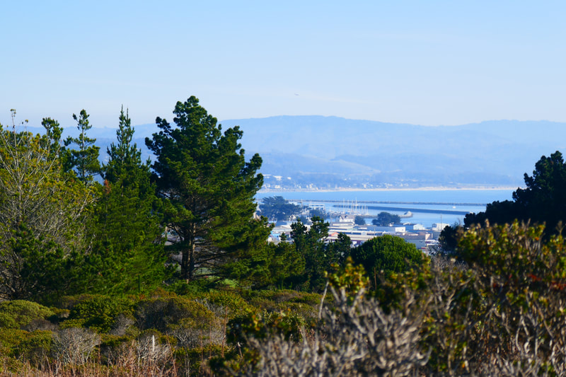
We enjoyed the ocean views, sat for a snack break on an ocean view bench, and walked from the north end of the bluff toward the south, taking the rougher dirt trails. From the southern part of the bluff area, we could see boats in Pillar Point Harbor from between the trees.
The walk downhill from the southern end of Pillar Point Bluff back down to the parking area is shorter and a bit steeper than the start of our hike heading north. Whether a quick, easy visit to the bluff for a quick ocean view, or a longer hike exploring the bluff trails or walking toward the Fitzgerald Marine Reserve (see Hike Notes for Fitzgerald Marine Reserve), hearing the sound of the surf and seeing sea birds fly past is always an exhilarating experience.
Pillar Point Bluff Hike Notes were originally paired with the “The People We Walk With” Insights post.
Click Insights/Hike Update News for inspiring reflections. Browse hikes on the main Hikes page or on the Hike Search by Area page. Check out selected articles and interviews under Media. Click World Walks to see or share favorite family-friendly walks! Stay in touch with Lisa Louis and HikingAutism via Contact. See products with inspiring designs that support the efforts of HikingAutism under Support/Shop. The Links page lists a loose collection of helpful information links.
Check the Home page for the broader background story. If you’re not able to take one of these Northern California hikes, hopefully you can enjoy the photo galleries at the bottom of each hike page! Feel free to share and follow on Facebook at HikingAutism, follow on Twitter at @HikingAutism and Instagram at lisalouis777
