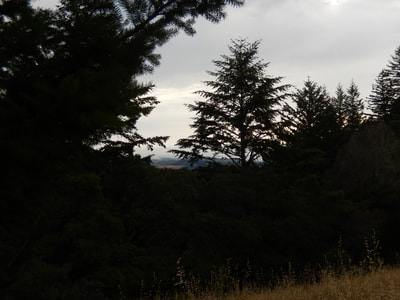
El Corte de Madera Creek
(scroll to bottom for photo gallery)
Location: El Corte de Madera Creek trailhead, 16040 Skyline Boulevard (CA 35), Redwood City, CA 94062
Starting Point: El Corte de Madera Creek has its own trailhead parking, on Skyline Boulevard, 9.6 miles south of the intersection with Route 92, and not far from the intersection with Bear Gulch Road. This trailhead parking area may be easily missed while driving along the dark twists and turns of this redwood covered road. It is about a mile past the much more visible Skeggs Point trailhead parking lot heading southeast on Skyline.
Info/Links:
For all web links, if a link doesn’t jump directly, copy and paste into browser. (Information links are sometimes changed at the source unexpectedly. We do our best to update.)
El Corte de Madera Creek Preserve info link:
https://www.openspace.org/preserves/el-corte-de-madera-creek
El Corte de Madera Creek Preserve trailhead parking directions link (same link as above, but click "Directions"):
https://www.openspace.org/preserves/el-corte-de-madera-creek
El Corte de Madera Creek Preserve trail map:
https://www.openspace.org/sites/default/files/map_ECDM.pdf
Distance:
There are 35.9 miles of trails within this preserve.
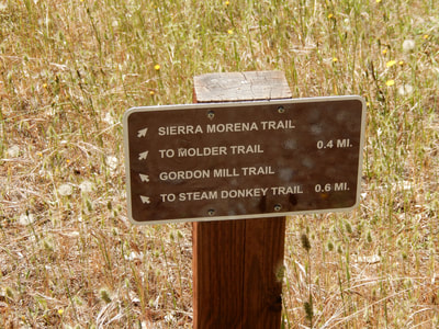
This photo gallery shows what was about a 3.4 mile hike, covering short connecting segments starting at the El Corte de Madera Creek trailhead parking lot, with what I believe from the map includes the Sierra Morena Trail, Oljon Trail, Steam Donkey Trail, Crossover Trail, Gordon Mill Trail, and then back to the parking lot on Sierra Morena Trail.
I say “what I believe” because the map can be confusing even when combined with trail signs. Though it is a very handy map to have, and includes a lot of details, in some spots it is hard to see which segment of trail is being labeled with which trail name.
Considerations:
• Hiking, biking, horse riding allowed.
• No dogs allowed.
• Mountain bikers sometimes move quickly. Keep an eye out while hiking and driving.
• Toilet facilities available at trailhead.
• Hours are listed as half an hour before sunrise to half an hour after sunset.
• This is a remote area. On a weekday, you might find yourself alone for long stretches. Have a map.
• There are clearly written trail signs, but the directions are sometimes confusing. When in doubt, go back to a trail marker and check again. I repeat: Have a map.
The trail:
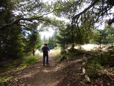
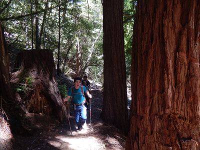
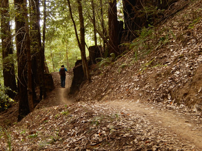
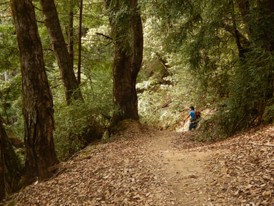
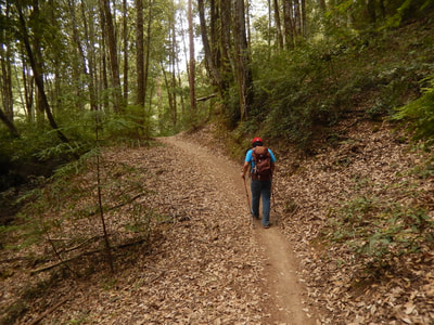
Most of the trail segments shown in the photo gallery here are under quite a bit of tree cover. This means there is cooling shade on hot sunny days. It is also very quiet.
There is open sky for part of the opening stretch heading from the parking lot toward connections with major trails like the Steam Donkey Trail and Gordon Mill Trail.
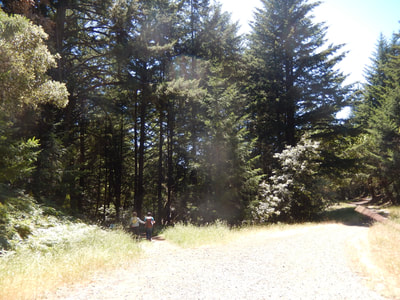
There is a lot of narrow dirt path type trail, soft underfoot with earth and tree debris. There are also wider fire road type stretches that offer a broader walking space.
Though many segments are fairly flat, there are steep, rocky areas to explore as well. Wear good shoes.
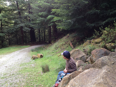
There is an open space with a pile of large rocks toward the end of the loop described above that makes for a good place to stop for a snack or drink, and to look at your maps and check on your progress.
Hikers can see from the PDF map in the link above that there are many possible combinations of trails to choose from. You can enjoy piecing together your own hike using the mileage listings on the map.
Where we got in trouble once with the map was when we wanted the Crossover Trail and ended up on the much longer Crosscut Trail instead. When in doubt, check again, go back to your trail marker, and adjust as necessary.
If you want a quiet, dark forest walk, El Corte de Madera Creek is a great place to go!
(El Corte de Madera Creek Hike Notes were originally paired with the “In Dark Woods Wandering” Insights post.)
Click Insights/Hike Update News for inspiring reflections. Browse hikes on the main Hikes page or on the Hike Search by Area page. Check out selected articles and interviews under Media. Click World Walks to see or share favorite family-friendly walks! Stay in touch with Lisa Louis and HikingAutism via Contact. See products with inspiring designs that support the efforts of HikingAutism under Support/Shop. The Links page lists a loose collection of helpful information links.
Check the Home page for the broader background story. If you’re not able to take one of these Northern California hikes, hopefully you can enjoy the photo galleries at the bottom of each hike page! Feel free to share and follow on Facebook at HikingAutism, follow on Twitter at @HikingAutism and Instagram at lisalouis777
