Pillar Point Harbor – Mavericks Beach
(scroll to bottom for photo gallery)
Location: Mavericks Beach, Pillar Point, Princeton-by-the-Sea/Half Moon Bay
Starting Point: West Point Parking Lot or Tide Pools Parking Lot, West Point Ave., near Pillar Point Harbor, Half Moon Bay/Princeton-by-the-Sea
Info links:
For all web links, if a link doesn’t jump directly, copy and paste into browser.
Pillar Point Harbor info link (San Mateo County Harbor District):
https://www.smharbor.com/pillar-point-harbor-650-726-4382
Pillar Point Harbor direction, tides and currents, weather link (San Mateo County Harbor District):
https://www.smharbor.com/directions-to-pillar-point-harbor-tides-and-currents-weather-report-chart
Pillar Point Harbor info (Visit Half Moon Bay):
https://www.visithalfmoonbay.org/articles/pillar-point-harbor-offering-taste-new-england
Map search info: Input parking lot names “Tide Pools Parking Lot” or “West Point Parking Lot” in Half Moon Bay, CA in your favorite map app to find beach access parking lots near Pillar Point Harbor and Mavericks Beach
Distance:
The Tide Pools Parking Lot gets full faster than the West Point Parking Lot, because it’s closer to the harbor and beach. From the West Point Parking Lot to the Tide Pools Parking Lot (requires walking along the road, use caution and stay on shoulder of road) is 0.3 miles. From the Tide Pools Parking Lot to Mavericks Beach midway is another 0.7 miles. This makes for a nice 2 mile loop out and back. Can be kept shorter by staying just by the harbor, or longer by walking the full length of Mavericks Beach and back.
Considerations:
• The Tide Pools Parking Lot is closer to the beach and thus gets filled earlier. West Point Parking Lot is only 0.3 miles back, and is a good backup parking lot.
• There are port-a-potty toilet facilities at the Tide Pools Parking Lot.
• The harbor stretch of the walk is protected, so it is sometimes much windier once on Mavericks Beach.
• Dressing in layers, using sun protection, and having water are advised for any outing.
• Never turn your back on the ocean. Beach walks are wonderful but unpredictable wave and surf action also require caution.
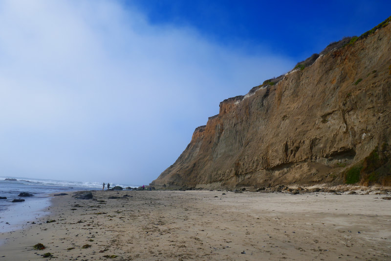
• Give sandy cliff areas wide space. Cliffs can crumble unexpectedly.
The trail:
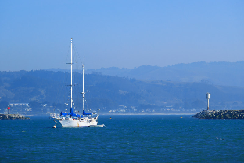
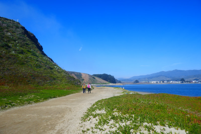
The calm waters of Pillar Point Harbor, protected by a breakwater, runs quite a length along a populated stretch with shops and restaurants nearby. Our walk focuses on the unpopulated western end of the harbor, which leads walkers out to Mavericks Beach.
This end of the harbor can be identified from afar by the giant white radar dome which is the most visible piece of Air Force equipment perched high on the bluffs above the harbor.
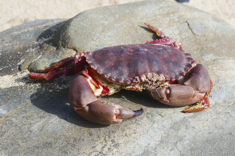
The small roads off CA Rte 1 lead past trucks loaded with crab traps, an important part of the commercial fishing industry here.
West Point Ave connecting from Stanford Ave. opens very quickly onto the West Point Parking Lot. If you’d like an extra 0.3 mile walk on a rustic road (careful of traffic), take an open spot here. On weekends, the drive to the Tide Pools Parking Lot often leads to a full lot situation, and a return drive to the West Point lot.
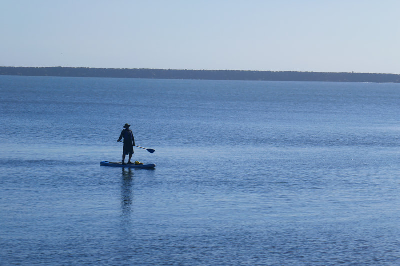
The Tide Pools Parking Lot has multiple large port-a-potties, which mark the start of the path toward the water. The walk starts out in the more weather protected stretch by the harbor itself. Paddle boarders and kayakers are frequently seen in the midst of a wide variety of sea birds, not to mention marine mammals like seals popping their heads out of the harbor waters.
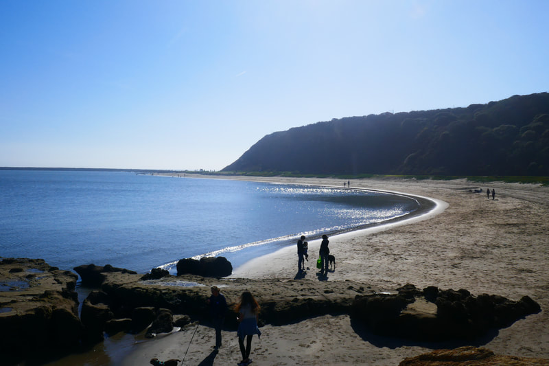
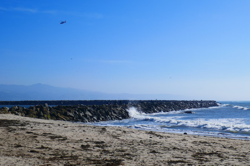
The picturesque harbor path leads along a little beach that curves below the looming cliffs, and eventually ends up at the weather worn Pillar Point Harbor sign, and the end of the stone jetty. Heed safety warning signs.
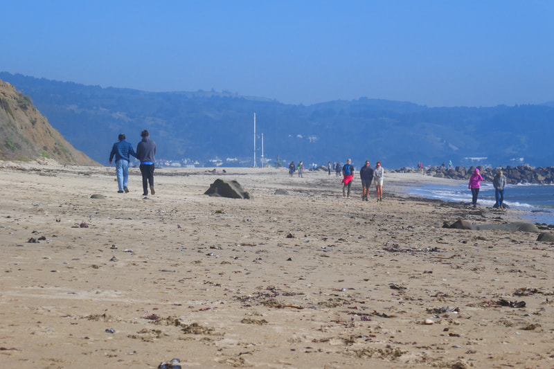
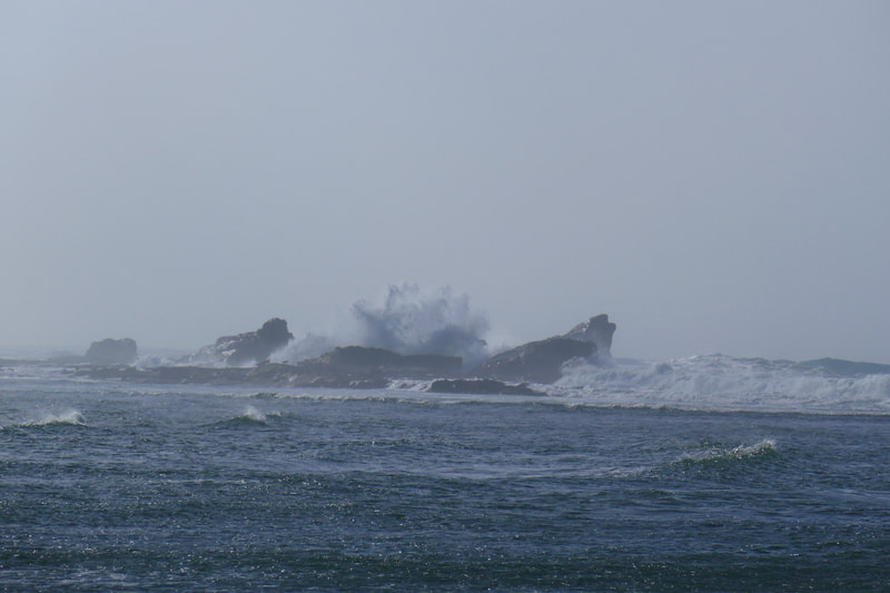
There are benches that look out toward the ocean at this point. Once past the jetty and benches, you’ve turned onto Mavericks Beach. Facing more toward the open ocean, with less wind protection from the cliffs, it can get much windier on this part of the walk. A bit of wind and wildness is actually great for enjoying the view of crashing waves on the rocks that stretch out from shore a little further up the beach.
The famous Mavericks surfing competition actually happens much farther off shore, so visitors won’t be seeing the really big waves right off the beach.
This is a family friendly 1 mile out and 1 mile back walk, and does not involve steep inclines. As with any out-and-back type hike, the views going in the reverse offer something different from the first half of the walk.
(Pillar Point Harbor – Mavericks Beach Hike Notes were originally paired with the “Teamwork by Necessity” Insights post.)
Click Insights/Hike Update News for inspiring reflections. Browse hikes on the main Hikes page or on the Hike Search by Area page. Check out selected articles and interviews under Media. Click World Walks to see or share favorite family-friendly walks! Stay in touch with Lisa Louis and HikingAutism via Contact. See products with inspiring designs that support the efforts of HikingAutism under Support/Shop. The Links page lists a loose collection of helpful information links.
Check the Home page for the broader background story. If you’re not able to take one of these Northern California hikes, hopefully you can enjoy the photo galleries at the bottom of each hike page! Feel free to share and follow on Facebook at HikingAutism, follow on Twitter at @HikingAutism and Instagram at lisalouis777
