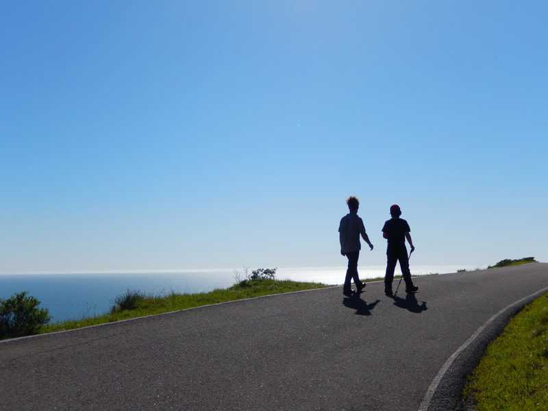
Rocky Point Road to Steep Ravine Cabins
(scroll to bottom for photo gallery)
Location: Rocky Point Road junction with Shoreline Highway/CA Route 1, about 1 mile southeast of the Panoramic Highway/Shoreline Highway junction at Stinson Beach
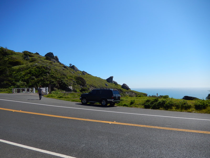
Starting Point: Roadside parking, Shoreline Highway/CA Route 1, across the road from the gate entrance for Steep Ravine Cabins, Rocky Point Road. (Only those with cabin reservations are allowed to drive past the gate down to the cabins.)
Info/Links:
For all web links, if a link doesn’t jump directly, copy and paste into browser.
Rocky Point info link (Golden Gate National Parks Conservancy):
https://www.parksconservancy.org/parks/rocky-point
Mount Tamalpais State Park brochure with map link (California State Parks):
https://www.parks.ca.gov/pages/471/files/MountTamalpaisSPFinalWebLayout110816.pdf
Reserve California Mount Tamalpais SP info link (Reserve California) (check “S Rav Camp Area” or “S Rav Cabin Area” for Steep Ravine overnight site availability):
https://reservecalifornia.com/CaliforniaWebHome/Facilities/SearchViewUnitAvailabity.aspx
“Things to Do” link for Mount Tam, scroll down for “Rocky Point/Steep Ravine Environmental Campground” info (California State Parks):
https://www.parks.ca.gov/?page_id=28465
Distance:
From the Shoreline Highway/CA 1parking area for Rocky Point Road/gate to Steep Ravine Cabins is approximately 0.8 miles one way, for a 1.6 mile round trip. This does not include any walking along the camp area trails or along Steep Ravine Beach.
Considerations:
•There is parking space for several cars on Shoreline Highway/CA 1 across the road from the gate to Steep Ravine Cabins/Rocky Point Road.
• The gate code is only given to visitors with reservations for the Steep Ravine Environmental Campground camp sites or cabins, which is why day visitors have to walk this road or trails down to the camp area.
• There are sometimes parking restrictions and road closures due to construction and/or storm damage. Check for traffic conditions and alerts, especially during rainy season.
• There are toilet facilities at the campground, but not near the parking area at the top of the hill.
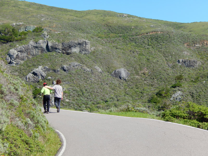
• This is a paved road with good visibility, except when on tight curves and around hills. Ranger trucks as well as campers driving in and out of the campground may not expect walkers around the curve. Use caution on blind curves.
The trail:
Simple trail description for this hike: Start at the locked gate at the top of Rocky Point Road from Shoreline Highway, walk down to the cabins, walk back.
That really is the gist of this walk. Considering the views, that is sufficient. Having said that, this in-and-out paved road hike has its nuances.
The parking spots for this location are across the Shoreline Highway from the gate. Rocky Point Road access is restricted to rangers and those with reservations for the Steep Ravine Environmental Campground camp sites and cabins.
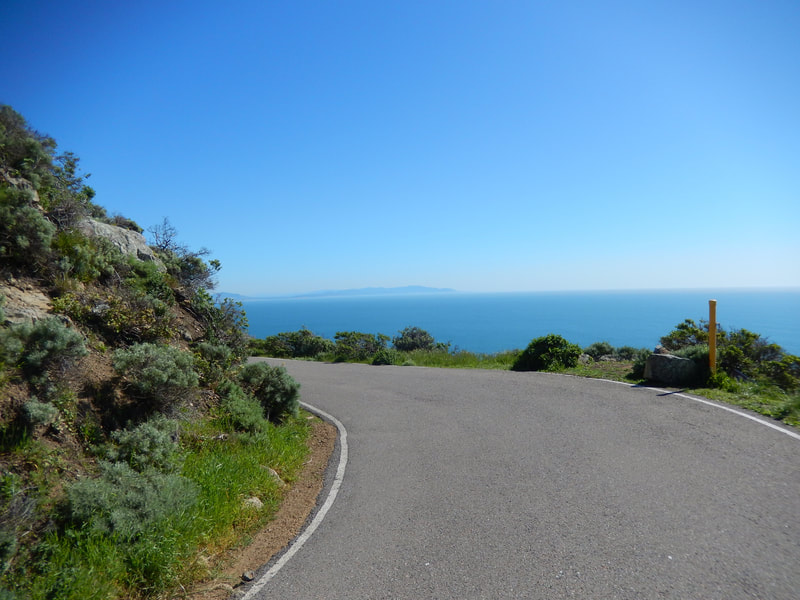
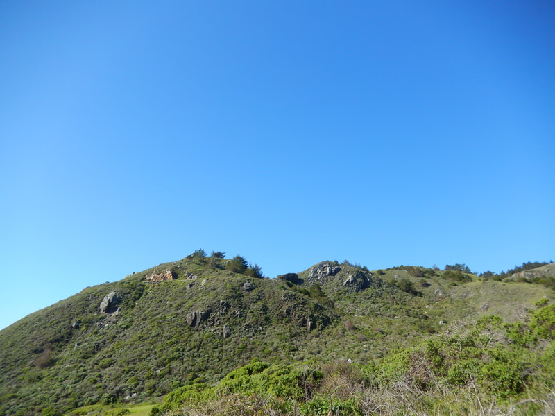
Once at the gate, stop for a minute to get a sense of your altitude above the Pacific. This short 0.8 miles involves a quick drop in elevation, which makes the walk in easy, and the return walk a more challenging uphill climb.
A “Newt Crossing” traffic sign reminds us to keep an eye out for wildlife, amphibians and otherwise. Raptors fly at the high elevations and sea birds are visible below. Porpoises and whales pop out of the water down below by the shore. Scat reminds us of mammal predators and their prey.
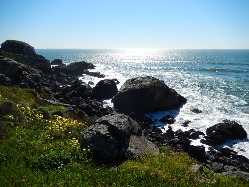
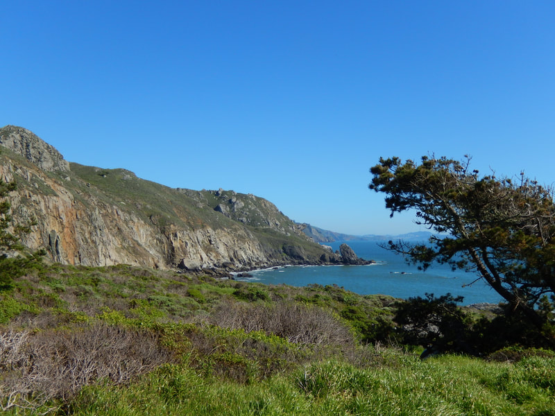
The chaparral landscape is dotted with colorful wildflowers in spring. Rocky outcroppings often mark blind curves along this twisting and turning road. Be sure to stay at the outer shoulder of the road in these locations. Visitors in cars and rangers in trucks don’t expect to see a lot of walkers on this road, and may not slow down on those curves.
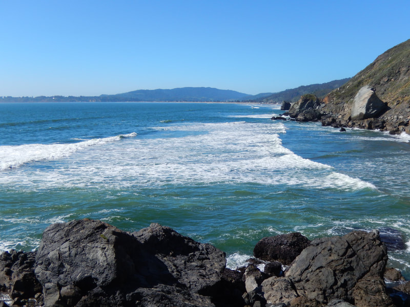
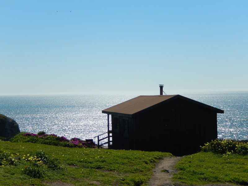
Look below to see the iconic Steep Ravine cabins perched along the edge of the land. Small Steep Ravine Beach at the foot of the cabins is more visible at low tide. Accessible at very low tides, a fair walk from the cabins, are natural hot springs, used by bathers who are unclothed as often as clothed. A sulfury smell and steam are hints that you’re getting close.
Also in view from Rocky Point Road, depending on which direction you’ve turned at any given moment, are Stinson Beach and Bolinas. The Point Reyes coast is visible on clear days far to the north, and Muir Beach and other points south in Marin are visible to the south.
The twists and turns start with rocky outcroppings and drop down to the cabins themselves, with the view changing at each level. There are toilet facilities in the cabin area, as well as outhouses along the trails that pass through the camp sites. The trails through the camping areas are not long in terms of distance, but offer even more glorious views. A drop down to Steep Ravine Beach is an option if the tide isn’t too high.
Having gone down, hikers have to then climb back up. At less than a mile in length, though the high hills look daunting on the way back, it really isn’t too hard a return walk. After the effort, you might want to drive the mile to Stinson Beach and take a break by the sand and water, or maybe grab a snack at one of the cafes.
The Steep Ravine Trail and Cabins offer a multi-faceted set of adventures, more of which will be covered in future posts on HikingAutism.com. (Rocky Point Road to Steep Ravine Cabins Hike Notes were originally paired with the “Anticipation” Insights post.)
Click Insights/Hike Update News for inspiring reflections. Browse hikes on the main Hikes page or on the Hike Search by Area page. Check out selected articles and interviews under Media. Click World Walks to see or share favorite family-friendly walks! Stay in touch with Lisa Louis and HikingAutism via Contact. See products with inspiring designs that support the efforts of HikingAutism under Support/Shop. The Links page lists a loose collection of helpful information links.
Check the Home page for the broader background story. If you’re not able to take one of these Northern California hikes, hopefully you can enjoy the photo galleries at the bottom of each hike page! Feel free to share and follow on Facebook at HikingAutism, follow on Twitter at @HikingAutism and Instagram at lisalouis777
