Fort Miley at Lands End
(scroll to bottom for photo gallery)
Location: Part of the Lands End section of the Golden Gate National Recreation Area in San Francisco’s Outer Richmond District, just up the hill from the Sutro Bath ruins and Seal Rocks, at the western edge of San Francisco.
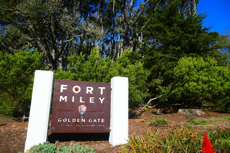
Starting Point: The entrance to Fort Miley, marked by a National Park Service sign, can be found near the intersection of El Camino del Mar and Seal Rock Drive (end extension of Clement Street). Parking includes the Lands End Main Parking Lot, El Camino del Mar Parking Lot, or nearby street parking
Info links:
For all web links, if a link doesn’t jump directly, copy and paste into browser.
Fort Miley information link (National Park Service):
https://www.nps.gov/places/fort-miley-military-reservation.htm
Golden Gate National Recreation Area info link (National Park Service):
https://www.nps.gov/goga/index.htm
USS San Francisco Memorial info link (National Park Service):
https://www.nps.gov/places/000/uss-san-francisco-memorial.htm
Lands End info link (National Park Service):
https://www.nps.gov/goga/planyourvisit/landsend.htm
Lands End and vicinity map link:
https://www.nps.gov/goga/planyourvisit/upload/LE_Pad_Map508.pdf
Also recommended:
Land’s End Octagon House:
https://www.atlasobscura.com/places/lands-end-octagon-house-point-lobos-marine-exchange-lookout-station
Octagon House at Land’s End:
https://www.outsidelands.org/octagon-house.php
Distance:
Fort Miley is a tree-covered hilly outcropping above the parking areas near the Lands End Lookout visitor center and the USS San Francisco memorial site near the stairs leading down to the Lands End Trail. It does not offer a long hike in itself, but is an area to wander and explore for the views from the top and the military history elements in a rustic, wooded setting. For a longer walk, combine an amble around Fort Miley with a longer trail walk along Lands End or down along Ocean Beach.
Considerations:
• The parking lot at the Lands End Lookout visitor center is handy for the visitor center and for exploring the glorious Sutro Bath ruins, but gets crowded on weekends. Parking along El Camino del Mar near the USS San Francisco Memorial or nearby street parking may be easier.
• Lock vehicle doors, and do not leave any items, even a jacket, in view in car interior to avoid vehicle break-ins.
• Fort Miley is not a long walk but it is hilly, for those who have difficulty with hills.
• There are toilet facilities at the Lands End Lookout visitor center, but may not always be open due to health and safety regulations.
• Pay attention to information signs, including those for urban wildlife, particularly coyotes.
The trail:
Fort Miley is in a part of San Francisco that our family thinks of as our extended backyard, since we’re not far from the western edge of the city with Ocean Beach, Sutro Baths and Lands End. For years, though, it was hiding in plain sight. I’d hear the name, look on a map, and still not figure out where Fort Miley is.
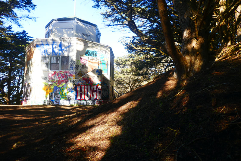
It is a hill that rises up above the Lands End parking areas, and includes graffiti covered old battery buildings at the top end.
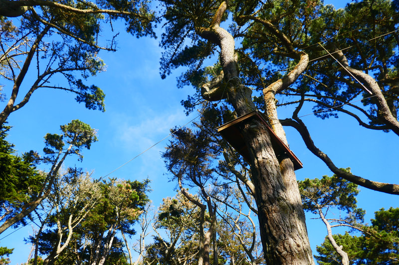
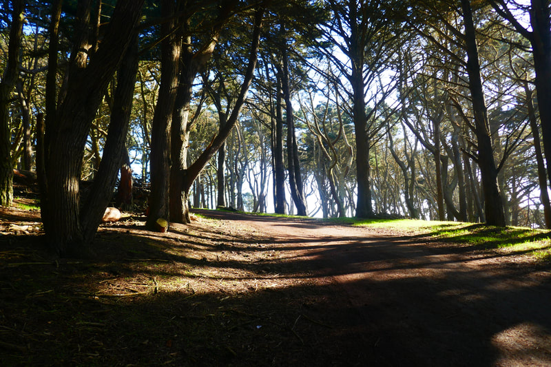
Before getting to the top, though, if walkers take the dirt path just beyond the Fort Miley National Park sign at the corner of El Camino del Mar and Seal Rock Drive, they will walk through a forested area that is filled with equipment for the Fort Miley Adventure Ropes Course. Look up into the trees to see a launching platform for a zip line, rope ladders and other adventure equipment.
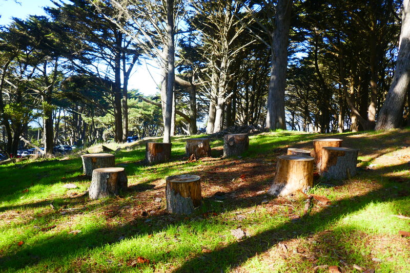
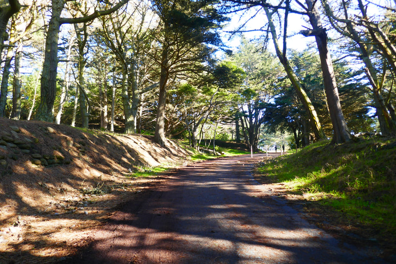
Further walking up the hill takes visitors past a tree stump circle. There is also a paved pathway that connects the parking area with a smoother sloping walk up the hill toward the top, but that walkway does not pass under the ropes course.
At the top, there is a wide open space with a grassy field and picnic table, where visitors can enjoy a broad view of the Pacific. This open field borders the concrete edges of the several historic battery buildings at Fort Miley, reminding us of the military history sites dotted around the San Francisco Bay Area. Skateboarders make use of the flat parts of the batteries for practice these days.
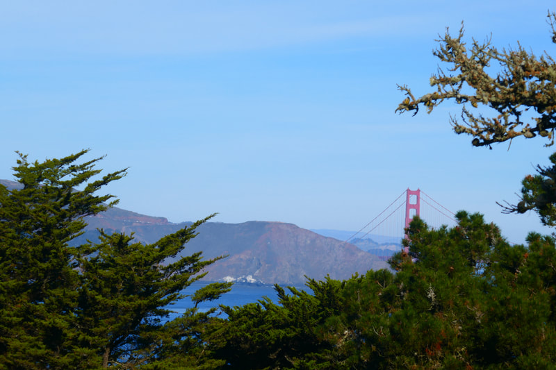
Walking beyond the batteries takes walkers to a somewhat hidden bench that faces an opening through the trees with a view of the Marin Headlands and the Golden Gate Bridge.
The old octagon house that can be found in a more forested part of the hill used to be a watch house for incoming ships to the Golden Gate, but the view is now obscured by trees, and the house is a bit haunted looking and covered by graffiti on our last visit. See the recommended links above for more information on the history of the octagon house and this area as a key watch spot for ships.
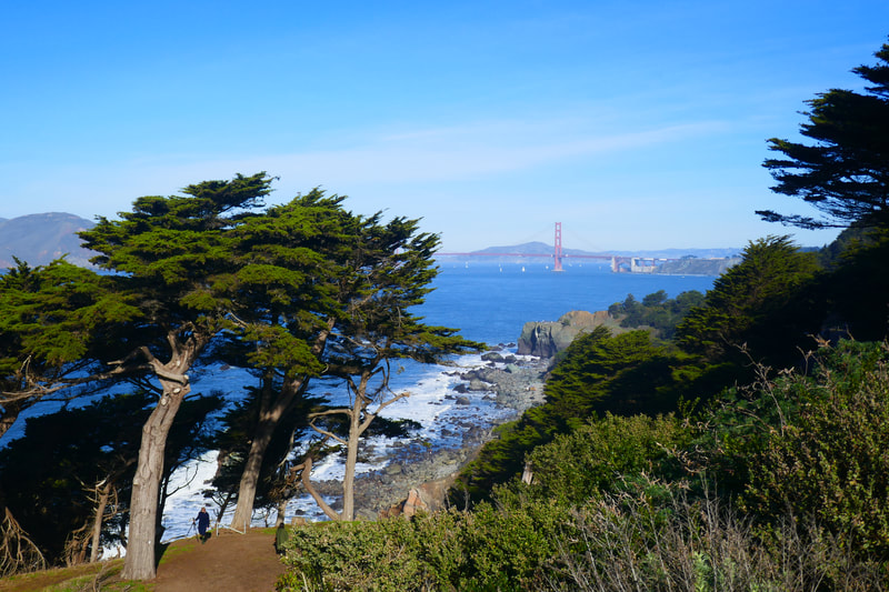
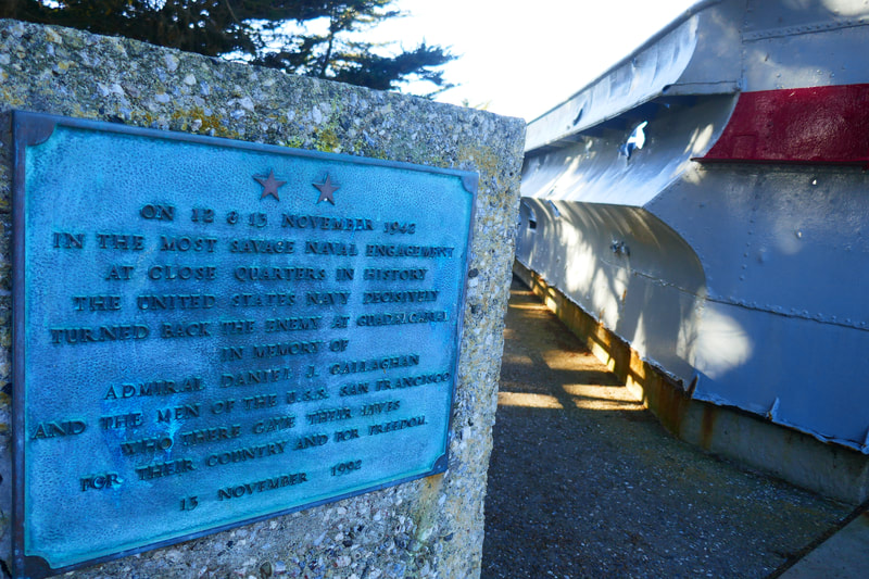
If you’ve made it as far as Fort Miley, but are not up for a long walk, it’s good to at least walk to the far end of the El Camino del Mar to soak in the view of the Marin Headlands and the Golden Gate Bridge from the top of the stairs at the edge of the parking lot. Looking left from there, you can walk over and see the USS San Francisco Memorial site, which has an actual section of hull with holes blown out from the harrowing Battle of Guadalcanal, well worth reading about for those interested in military history.
Those wishing to take a longer hike have plenty of options. Other nearby hikes to check out are noted in Lands End Lookout to Mile Rock Beach, Labyrinth at Lands End, and Ocean Beach-North End Hike Notes.
(Fort Miley at Lands End Hike Notes were originally paired with the “Seeing Beyond” Insights post.)
Click Insights/Hike Update News for inspiring reflections. Browse hikes on the main Hikes page or on the Hike Search by Area page. Check out selected articles and interviews under Media. Click World Walks to see or share favorite family-friendly walks! Stay in touch with Lisa Louis and HikingAutism via Contact. See products with inspiring designs that support the efforts of HikingAutism under Support/Shop. The Links page lists a loose collection of helpful information links.
Check the Home page for the broader background story. If you’re not able to take one of these Northern California hikes, hopefully you can enjoy the photo galleries at the bottom of each hike page! Feel free to share and follow on Facebook at HikingAutism, follow on Twitter at @HikingAutism and Instagram at lisalouis777
