Glen Canyon Park from Below
(scroll to bottom for photo gallery)
Location:Elk Street and Chenery Street, San Francisco, CA 94127 (officially listed address)
Starting Point: For the Glen Canyon Park from below walk, we like to start from the Glen Canyon Trailhead. Find on the map where O’Shaughnessy Blvd and Bosworth Street meet. Bosworth becomes a short dead end street that leads toward the trailhead, with limited parking. We’ve always been able to find a parking spot there, but there is more street parking available from the Elk Street entry, which offers more direct access to the Glen Park Recreation Center.
Info links:
For all web links, if a link doesn’t jump directly, copy and paste into browser.
Glen Canyon Park info links:
http://sfrecpark.org/destination/glen-park/
http://sfrecpark.org/destination/glen-park/glen-park-natural-areas/
Glen Canyon Park trail map:
http://sfrecpark.org/wp-content/uploads/Glen-Canyon.pdf
[portions of these Hike Notes are also in an earlier related post, Glen Canyon Park from Above]
Distance:
Glen Canyon Park is a 60 acre wilderness space. The trails crisscross and circle around most of those 60 acres. Choose any distance you feel up for. Starting from below, you can walk starting at the Glen Canyon Trailhead from Bosworth, or from Elk near the Recreation Center, starting at the southern end of Glen Canyon Park and walking northward along the lower trails. Walkers can stay on the lower trails that generally parallel Islais Creek, or head up into the hills and see the various boulder formations and hilltop vistas, with the higher views being from near Christopher Playground.
Considerations:
• Starting from below Glen Canyon Park, toilet facilities are available at the Glen Park Recreation Center and Playground, and also above at Christopher Playground.
• Dogs are allowed on leash.
• Use common sense for parking, and follow whatever the street parking signs indicate (to be a good neighbor AND to avoid getting a ticket).
• Pay attention to any posted wildlife notices (coyotes being of note in recent times).
The trail:
Glen Canyon Park is beautiful starting from either direction, the bottom or the top, but this post describes starting from the bottom.
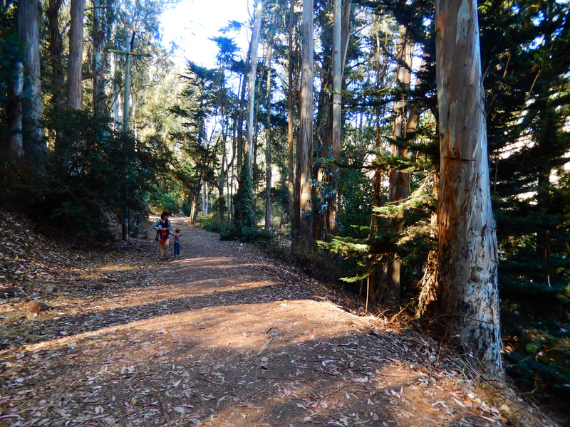
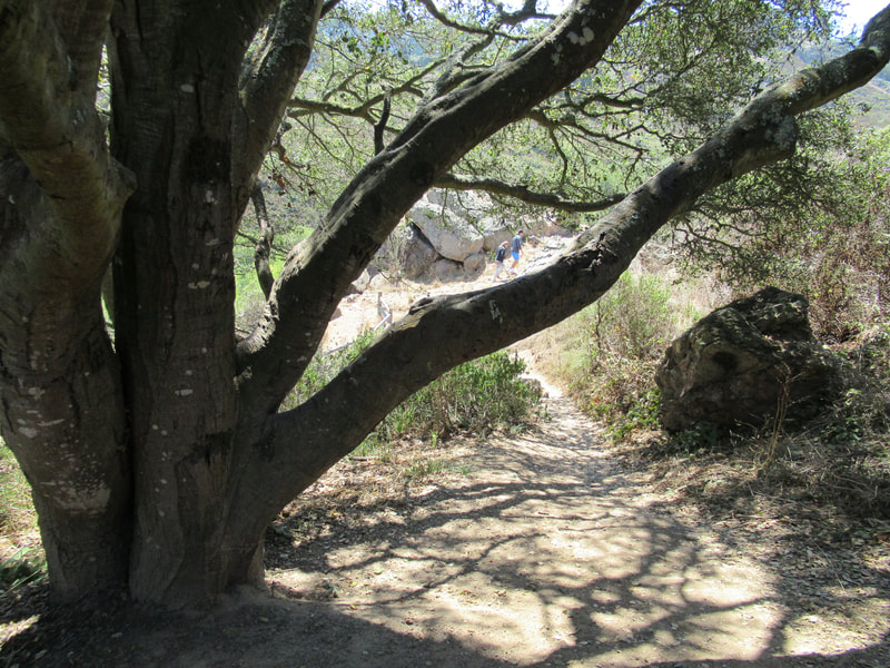
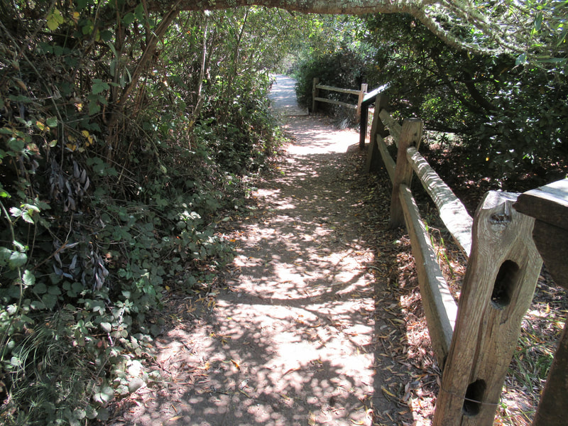
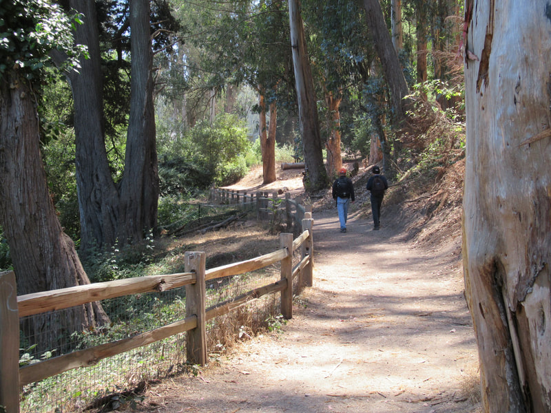
There is a pretty woodsy path that starts out the trailhead from Bosworth. That trail leads past the Glen Park Recreation Center and Playground, which is visible at right as you walk north.
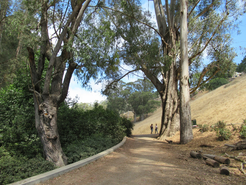
You can make a stop at the rec center, or continue on. The path continuing past the rec center leads along the edge of the beautiful hills of Glen Canyon Park. Walkers can avoid stairs pretty much altogether if desired, but that limits the overall view of the park.
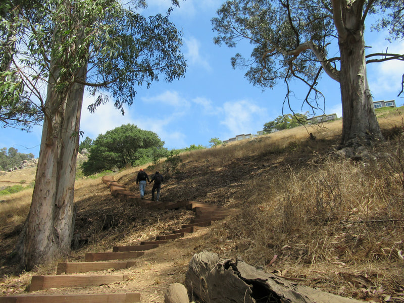
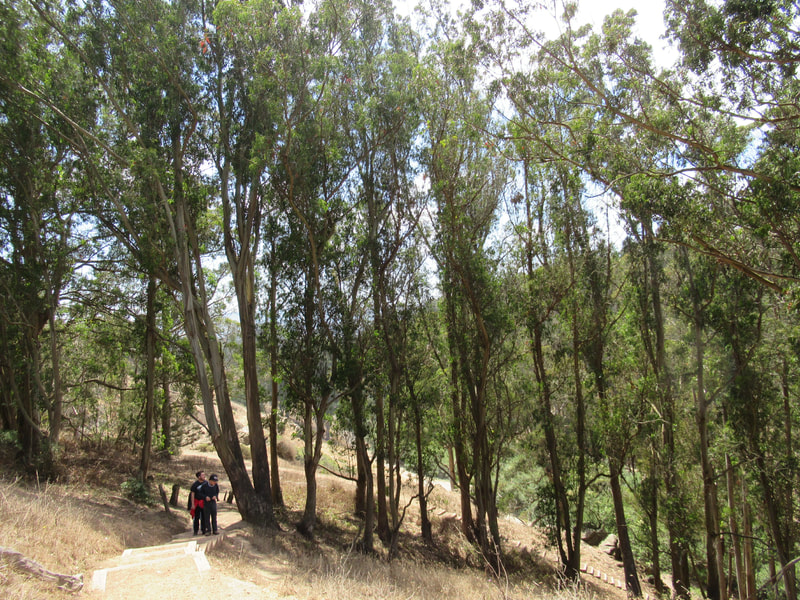
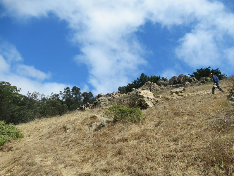
Rustic stairways lead up the hills in several locations. The signature rock formations like Saddle Rock Outcrop require some walking uphill, whether on a dirt path or on stairways. Glen Canyon Park is a popular spot for rock climbers due to the rock formations dotting its 60 acres.
Vistas are pretty, and worth a bit of effort. For those who need to take breathers, it’s an easy area to walk and climb a bit, stop and take a rest, and then walk and climb a bit more.
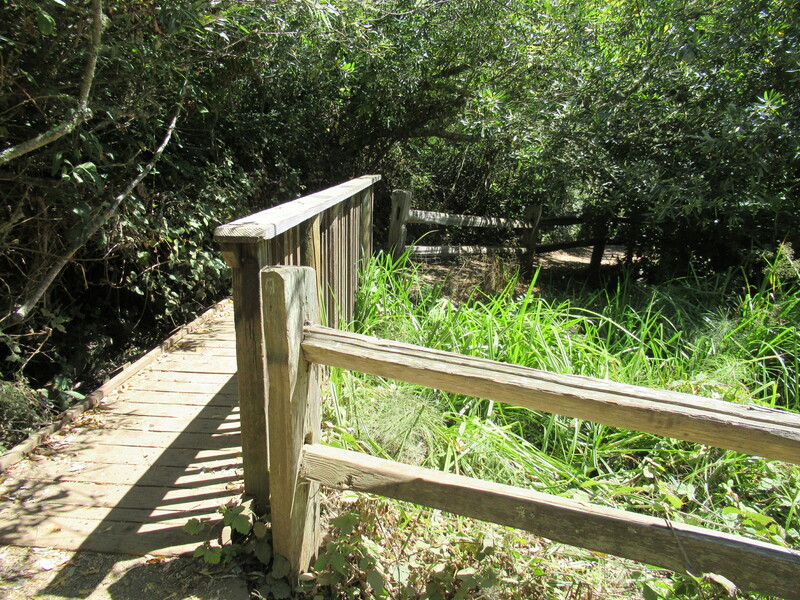
There are pretty wooden boardwalk stretches cutting through the creek area, and other sections of trail bordered by rustic wooden fences. The lower trails tend to offer more tree cover, while the upper trails are more under the open sky.
Islais Creek is one of the only free running creeks in San Francisco, with denser trees and bushes along the creek area paths.
It is remarkable how rough and rugged this city park can feel. Some of the rock formations give an old Western movie ambience.
Wildlife sighting opportunities include California alligator lizards and San Francisco garter snakes, The dry, rocky soil also means interesting succulent plants and lichen are in view in the upper trail rock formation areas.
Full of dramatic visual offerings under gray skies or blue, any time of day, I especially like the long shadows and colors of dusk at the end of a blue sky day.
(Glen Canyon Park from Below Hike Notes were originally paired with the “Tree Tunnel Passages” Insights post.)
Click Insights/Hike Update News for inspiring reflections. Browse hikes on the main Hikes page or on the Hike Search by Area page. Check out selected articles and interviews under Media. Click World Walks to see or share favorite family-friendly walks! Stay in touch with Lisa Louis and HikingAutism via Contact. See products with inspiring designs that support the efforts of HikingAutism under Support/Shop. The Links page lists a loose collection of helpful information links.
Check the Home page for the broader background story. If you’re not able to take one of these Northern California hikes, hopefully you can enjoy the photo galleries at the bottom of each hike page! Feel free to share and follow on Facebook at HikingAutism, follow on Twitter at @HikingAutism and Instagram at lisalouis777
