Blithedale Summit from Summit Drive
(scroll to bottom for photo gallery)
Top of Summit Drive, Corte Madera, CA
Location: Start from the end of Summit Drive in Corte Madera where it connects with the Corte Madera Ridge Fire Road
For all web links, if a link doesn’t jump directly, copy and paste into browser. (Information links may change. We do our best to update.)
Marin County Parks Open Space info link:
https://www.marincountyparks.org/depts/pk/divisions/open-space
Marin County Parks Open Space maps list link:
https://www.marincountyparks.org/depts/pk/divisions/open-space/main/preservemaps
Blithedale Summit Preserve info link (Marin County Parks):
https://www.parks.marincounty.org/parkspreserves/preserves/blithedale-summit
Blithedale Summit map link (Marin County Parks):
https://www.marincountyparks.org/-/media/images/departments/pk/open-space/blithedale-summit/map_blithedalebaltimorekingcamino_20180914.pdf
Distance:
There are multiple options for walking the trails that cover the Blithedale Summit Preserve. Hikers could walk several miles by combining various fire roads and trails. The photos in the photo gallery for this hike description include images from the Summit Drive trailhead to a small offshoot trail paralleling the Corte Madera Ridge Fire Road just to its north (not shown on many maps), and the Corte Madera Ridge Fire Road to Blithedale Ridge and back, which is a relatively short 2 miles out and back.
Considerations:
General note: All information is subject to change based on current health and safety guidelines.
• Summit Drive in Corte Madera is a narrow, steep road that winds up through residential areas and ends where it connects with Corte Madera Ridge Fire Road. It is barely wide enough for one car in some parts despite being a two-way street, and is also quite steep in some areas. The motor of our Honda barely had the power to reach the peak.
• Parking rules near many Marin trailheads are often not clear. Look for signs for guidance, but most of all, be courteous and respectful of residents.
• Various maps include this area, but the Map Adventures Mt. Tam Hiking & Biking trail map is the only one I have that includes the narrow trail that has a scenic viewing spot noted as “Christmas Tree Hill” on Google Maps. (The viewing spot is noted but the trail isn’t on Google maps, and the trail is noted but the viewing spot isn’t in the Map Adventures map.)
• There are no toilet facilities for this trail.
• Heed health and safety notices, including wildlife alerts.
• Sun protection and water, as well as extra layers for chilly winds, are always advisable.
• On any trail, avoid touching poison oak. A scrub such as Technu is good to have if accidentally contacted.
The trail:
I’ve walked over many of the fire roads and trails of Blithedale Summit Preserve from different trailheads and at different times of day, including a return hike by moonlight. Sometimes favorite familiar places sit on the back burner, as is the case with this description and photo gallery from a hike taken years before this posting.
The most challenging part of hiking Blithedale from the end of Summit Drive was driving the steep, narrow road and finding parking. Marin county parking rules can be nebulous, but we managed to find a spot by the end of Summit Drive.
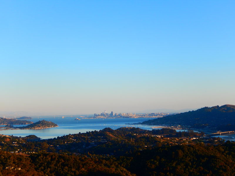
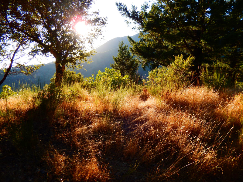
Just as we set foot onto Corte Madera Ridge Fire Road, a very lazy coyote ambled ahead of us. We took the smaller trail (running parallel just north of Corte Madera Ridge Fire Road) that leads to a viewing spot noted as Christmas Tree Hill on Google maps. This area offers a grand view of San Francisco in the distance beyond bay waters in the middle view and tree-covered hills of Marin in the foreground.
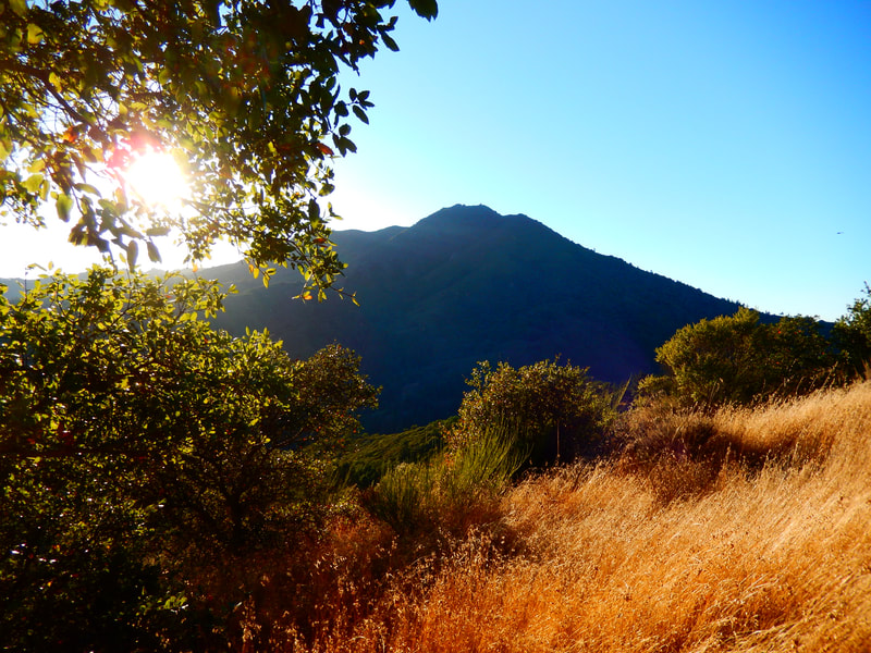
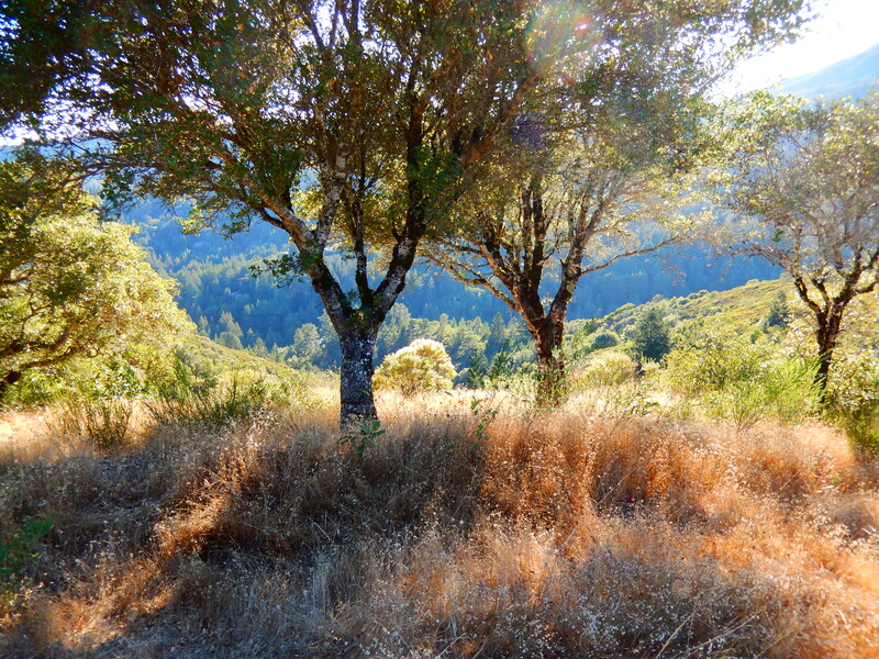
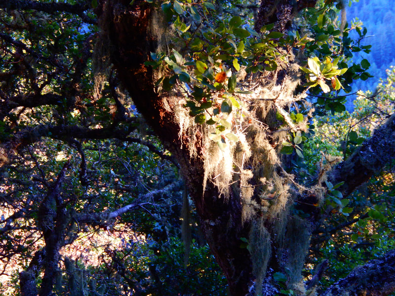
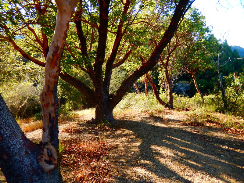
Live oak and madrone trees, lichen, moss and sun-kissed golden grass provided plenty of visual textures to enjoy. The East Peak of Mt. Tam comes into full view from several angles as well.
We continued walking on Corte Madera Ridge Fire Road past the intersection with Glen Fire Road. and went to the connection with Blithedale Ridge, which runs a couple of miles largely north-south, and offers opportunities for longer hikes on various loop connections.
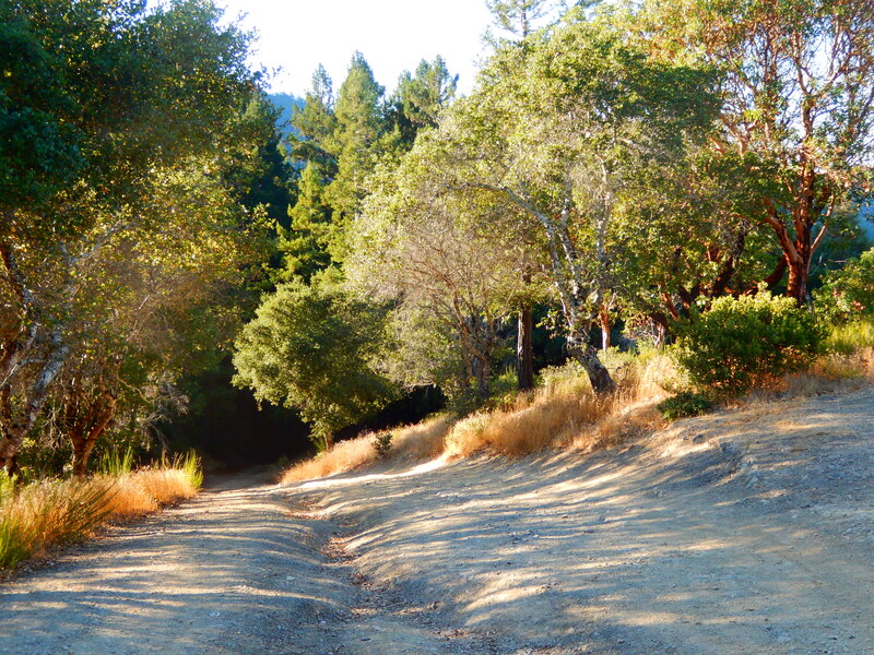
With limited time, we made our way back to the Summmit Drive trailhead along Corte Madera Ridge Fire Road without taking the smaller parallel trail we took on the way out. Late autumn afternoon light made for golden glowing tree tunnels along this section of the fire road, which sticks in my mind as the prettiest part of a hike with many scenic stretches.
For another hike starting nearby that also brings hikers to the Blithedale Summit Preserve, check out the Huckleberry Trail Hike Notes.
Blithedale Summit from Summit Drive Hike Notes were originally paired with the “The Shadows Beside Him” Insights post.)
Click Insights/Hike Update News for inspiring reflections. Browse hikes on the main Hikes page or on the Hike Search by Area page. Check out selected articles and interviews under Media. Click World Walks to see or share favorite family-friendly walks! Stay in touch with Lisa Louis and HikingAutism via Contact. See products with inspiring designs that support the efforts of HikingAutism under Support/Shop. The Links page lists a loose collection of helpful information links.
Check the Home page for the broader background story. If you’re not able to take one of these Northern California hikes, hopefully you can enjoy the photo galleries at the bottom of each hike page! Feel free to share and follow on Facebook at HikingAutism, follow on Twitter at @HikingAutism and Instagram at lisalouis777

