Sutro Heights
(scroll to bottom for photo gallery)
Location: Sutro Heights Park, bordered by 48thAve., Balboa St., and Point Lobos Ave. (Great Highway melds into Point Lobos and circles up past the Lands End Lookout Visitor Center), on the hill above Seal Rocks and the Cliff House site at the western edge of San Francisco.
Starting Point: Main entry path with lion statues near the corner of Point Lobos Ave. and 48thAve., smaller entry paths along 48thAve. between Point Lobos Ave. and Sutro Heights Ave, steep stairway access from Balboa near La Playa.
Info links:
For all web links, if a link doesn’t jump directly, copy and paste into browser.
Sutro Heights information link (National Park Service):
https://www.nps.gov/goga/planyourvisit/sutro-heights-accessibility.htm
Sutro Heights History info link (National Park Service):
https://www.nps.gov/goga/learn/historyculture/sutro-heights.htm
Sutro Historic District info and map link (Golden Gate National Parks Conservancy):
https://www.parksconservancy.org/parks/sutro-historic-district
Also recommended:
Sutro Heights Park (The Cultural Landscape Foundation:
https://tclf.org/landscapes/sutro-heights-park
Distance:
Sutro Heights Park covers 22 acres, much of which is steep cliffs and sandy erosion area, so the walkable area is mostly at the top flat area, most easily accessible from the southern edge of the park along 48thAve. and Point Lobos Ave. near the corner of 48thAve.
Considerations:
• The small parking lot across Point Lobos Ave. from the Lands End Lookout visitor center is handy for a visit to Sutro Heights Park, but there is typically street parking available along 48thAve. which offers multiple pathways into the park.
• Sutro Heights Park has wide, mostly flat paths that circle around the main viewing points. A higher viewing point can be reached by stairs.
• There are no toilet facilities at Sutro Heights Park. There are toilet facilities a short walk away at the Lands End Lookout visitor center, but open and closed status is subject to health and safety circumstances.
• Sutro Heights Park is a popular place for neighbors to walk their dogs (leash laws are not always followed).
The trail:
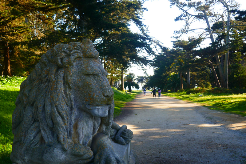
For the full loop, visitors can start at the wide gate guarded by lion statues at Point Lobos near 48thAve. Sutro Heights was the grounds for the mansion of old-time San Francisco Mayor Adolph Sutro, who adorned his grounds with statuary now mostly gone. Look for the lions, as well as the damaged but still charming deer statue, and up on the hill to the left walking in from the lion gate, Diana, Goddess of the Hunt, with her deer companion.
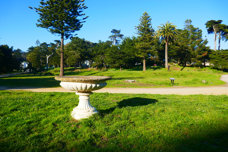
There is a lovely small display of roses along this path, which leads to a main central open space with a large white fountain structure. A low rise to the left is where the old conservatory, once filled with exotic plants from around the world, used to stand. Look around the patchy grass on this flat rise and see if you can find remnants of the tile pattern floors from the conservatory.
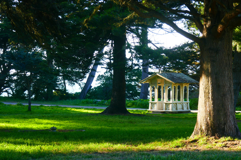
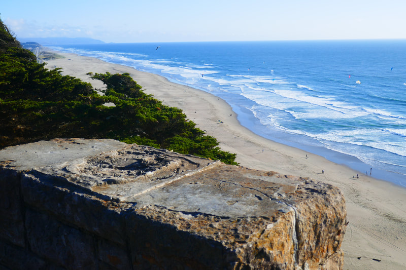
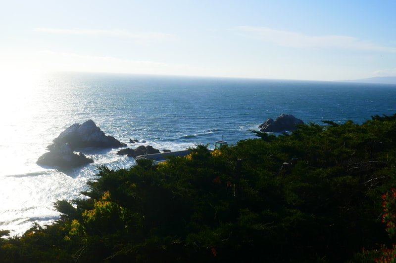
Facing the ocean from the white fountain structure, walkers can take the loop path that leads to a grand ocean view. To the right, visitors can see the charming white gazebo past some trees. Walking the main loop path from either direction brings visitors up to the fenced edge above the cliffs that lead down to the stretch of road that zips past the Cliff House site, with Ocean Beach and Point Pedro in Pacifica visible looking south, and Seal Rocks in the foreground looking straight out west.
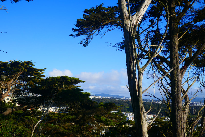
Trees block the view to the north, but it is possible to find openings through the trees along the path, or from higher above, that give views of the Marin Headlands to the north.
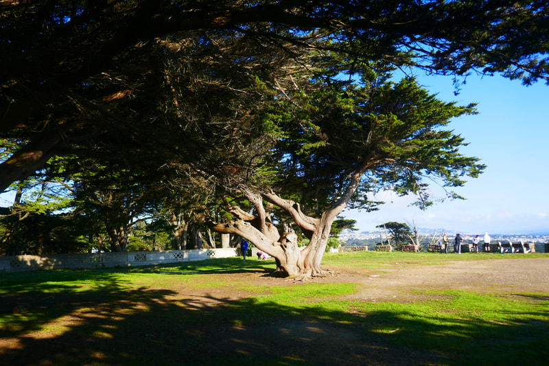
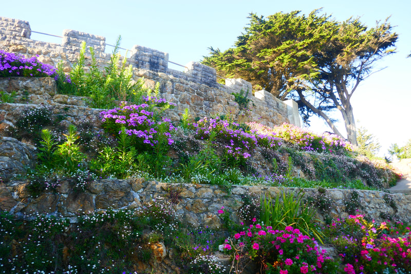
At the western edge of the pathway which offers the ocean view, turn back toward the round turret structure and find the stairs up to the flat open area with benches and stone structures that used to be home to sculptures imported from Europe by Adolph Sutro in the heyday of his mansion on the cliff. Signs explaining the history of Sutro Heights can be found dotted around the area, and historical information can also be found online (see links above).
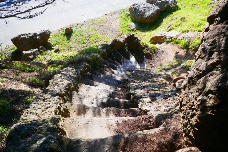
The narrow, twisting stone steps on the western edge of the turret ara are charming and atmospheric, but also allow visitors to see large fallen boulders which show how much the old mansion site has fallen into ruin.
Sutro Heights is our go-to place for a quick breath of fresh air on days when we can’t go far, or don’t have the energy to do more than just stretch our legs a bit.
Those wishing to extend a Sutro Heights Park visit to a longer hike have plenty of options. Other nearby hikes to check out are noted in Fort Miley at Lands End, Lands End Lookout to Mile Rock Beach, Labyrinth at Lands End, and Ocean Beach-North End Hike Notes.
(Sutro Heights Hike Notes were originally paired with the “Around the Corner” Insights post.)
Click Insights/Hike Update News for inspiring reflections. Browse hikes on the main Hikes page or on the Hike Search by Area page. Check out selected articles and interviews under Media. Click World Walks to see or share favorite family-friendly walks! Stay in touch with Lisa Louis and HikingAutism via Contact. See products with inspiring designs that support the efforts of HikingAutism under Support/Shop. The Links page lists a loose collection of helpful information links.
Check the Home page for the broader background story. If you’re not able to take one of these Northern California hikes, hopefully you can enjoy the photo galleries at the bottom of each hike page! Feel free to share and follow on Facebook at HikingAutism, follow on Twitter at @HikingAutism and Instagram at lisalouis777
