Ox Trail-Samuel P. Taylor State Park
(scroll to bottom for photo gallery)
Location: Samuel P. Taylor State Park, 8889 Sir Francis Drake Blvd., Lagunitas, CA 94938
Starting Point: Samuel P. Taylor State Park day pass parking area, Sir Francis Drake Blvd.
Info links:
For all web links, if a link doesn’t jump directly, copy and paste into browser. (Information links may change. We do our best to update.)
Marin Watershed Information link (Marin Water):
https://www.marinwater.org/recreation
Marin Watershed Fish Viewing information link (National Park Service):
https://www.nps.gov/pore/planyourvisit/wildlife_viewing_cohosalmon.htm
Marin Watershed Map link:
https://www.marinwater.org/sites/default/files/2020-09/Watershed%20Visitor%20Map.pdf
Samuel P. Taylor State Park information link:
http://www.parks.ca.gov/?page_id=469
Samuel P. Taylor State Park Brochure and Map link:
https://www.parks.ca.gov/pages/469/files/SamuelPTaylorFinalWebLayout072715.pdf
Distance:
The South Creek Trail is noted as 0.9 miles, and the Ox Trail is noted as 0.9 miles. It’s roughly a half mile from the entrance parking area to the start of South Creek Trail, and about a half mile from the end of Ox Trail back to parking, so the loop we did is approximately 3 miles total.
Considerations:
• Parking in the Samuel P. Taylor State Park parking area requires a small day pass fee, paid at the entrance booth where rangers can offer information, a brochure/map, etc.
• Bathrooms are available as part of the Samuel P. Taylor State Park facilities, and extend to the end of the campground areas, but are not found along the Ox Trail or South Creek Trails.
• Best luck for salmon viewing is from around November to February, but the trails are beautiful any time of year.
• Pay attention to wildlife and health and safety notices.
• Be aware of the poison oak in any hiking area. Technu or another poison oak scrub comes in handy tubes.
The trail:
Starting from the day pass parking area, we enjoyed strolling through the dark forest picnic areas, with the deep green moss growing on fireplaces and picnic tables. We made our way to the bridge with the bright red “Salmon Crossing” signs, and stopped to look at the water below, hoping to see at least a shadow of a salmon swimming upstream. (No luck this visit.)
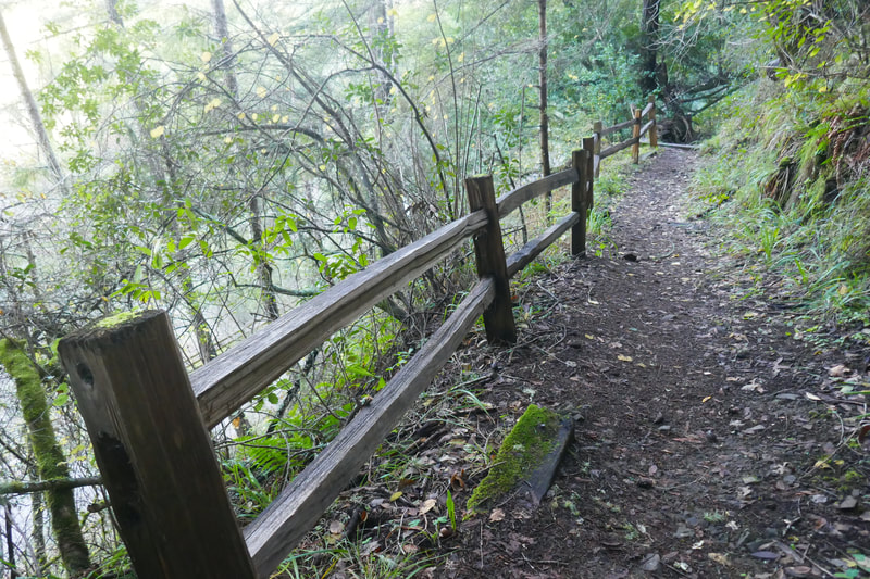
Once across the bridge, we continued in the same generally northwest direction, where the Cross Marin Trail offers a wide, paved way for pedestrians and bicyclists. Preferring smaller dirt trails, we went toward the wooden fence that lines the path along Lagunitas Creek, leading through camp areas. Winter meant that the camp sites lining the creek were empty, so we enjoyed walking the full length of the camp sites with good creek views until we found the trail sign for the South Creek Trail (this trail to be featured with full photo gallery in a future post).
This post focuses on the Ox Trail, so after walking to the historic paper mill site, we continued a little further on the paved Cross Marin Trail until we found the sign for the Ox Trail.
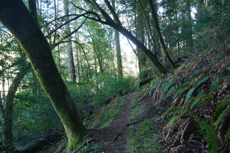
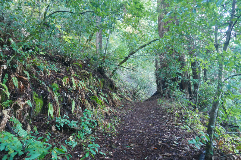
The sign for the Ox Trail (noting 0.9 miles to the campground) is smaller than the South Creek Trail and other signs, so keep a careful eye out. The trail itself is also a narrow dirt path covered with leaves and debris, so hikers know they are on a less traveled path.
Moss and ferns line the way for this first narrow stretch. Midway, the Ox Trail becomes part of a wider connector road that goes uphill. Watch for the next small Ox Trail sign, which indicates another 0.6 miles to the campground.
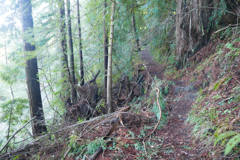
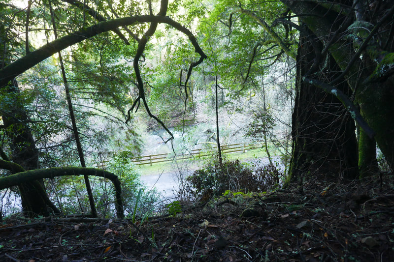
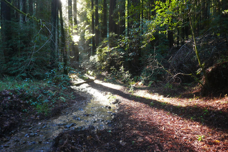
From this trail marker, hikers are back on a woodsy, shady trail with lots of atmospheric moss, and on our visit, a fallen tree that required a small effort to get past. The Ox Trail is on higher ground than the creek side trails, and narrow sections with steep edges require a little more caution, but hikers can enjoy a view looking below to the creek and lower paths.
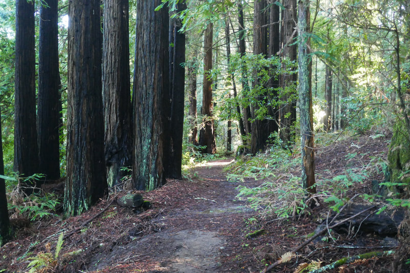
There’s an iconic triple-trunk redwood tree in a wide opening along the Ox Trail, which is a nice reminder of how many redwoods there are in this mixed forest area.
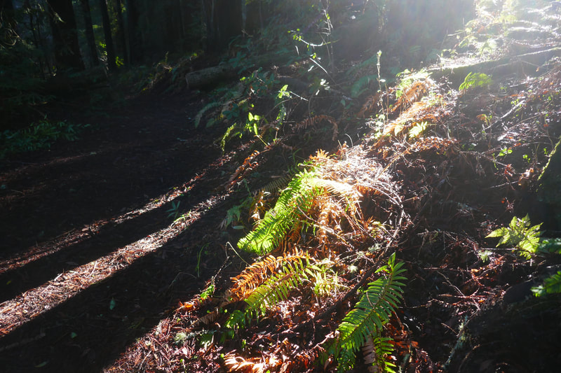
The trail gradually descends from this area, passing through more redwoods, with dramatic light shining in through cracks in the forest, highlighting ferns with a green glow when the sun hits just right.
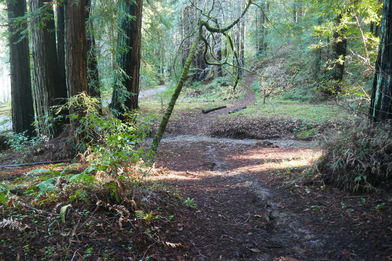
Eventually the trail connects back to the paved camp road. Watch for the informational sign describing how ox carts were used to transport supplies to the paper mill and carry items to schooners at Bolinas Lagoon.
The Ox Cart trail added a nice variety of trail ambience mixed in with the creek walks that many enjoy at Samuel P. Taylor State Park.
(Ox Trail-Samuel P. Taylor State Park Hike Notes were originally paired with the “When a Goal Is Not the Goal” Insights post.)
Click Insights/Hike Update News for inspiring reflections. Browse hikes on the main Hikes page or on the Hike Search by Area page. Check out selected articles and interviews under Media. Click World Walks to see or share favorite family-friendly walks! Stay in touch with Lisa Louis and HikingAutism via Contact. See products with inspiring designs that support the efforts of HikingAutism under Support/Shop. The Links page lists a loose collection of helpful information links.
Check the Home page for the broader background story. If you’re not able to take one of these Northern California hikes, hopefully you can enjoy the photo galleries at the bottom of each hike page! Feel free to share and follow on Facebook at HikingAutism, follow on Twitter at @HikingAutism and Instagram at lisalouis777
