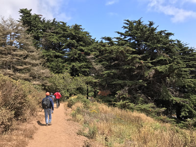
Slacker Ridge from Golden Gate Bridge
(scroll to bottom for photo gallery)
Starting Point: Trailhead parking lot at northwest side of Golden Gate Bridge, left turn right at the uphill start of Conzelman Road. Known by various names: GGNRA Coastal Trail Trailhead Marin Headlands Parking Lot, 5702 Conzelman Rd, Mill Valley, CA 94941 (alternatively noted for map lookup as Conzelman Road, near Alexander Ave., Sausalito)
Location of Destination Point: Slacker Ridge (sometimes noted as Slackers Hill) is a high peak above the Golden Gate Bridge that is closely accessible from the roundabout parking lot at the Conzelman Road/McCollough Road intersection (Julian Trail trailhead start). It is only 0.4 miles (though steep) from this parking lot to the top of the ridge. For those who don’t want to go the long hike up from the bridge, you can just start here and do the short climb up and back.
Info/Links:
For all web links, if a link doesn’t jump directly, copy and paste into browser. (Information links are sometimes changed at the source unexpectedly. We do our best to update.)
National Park Service Golden Gate info link:
https://www.nps.gov/goga/planyourvisit/upload/GOGA_X3-web_sm3-2.pdf
National Park Service Marin Headlands map link:
https://www.nps.gov/goga/planyourvisit/upload/map_mahe_150429_508_2021.pdf
Golden Gate Bridge Conzelman Road Parking Lot info link (by OurSausalito):
https://www.oursausalito.com/golden-gate-bridge/golden-gate-bridge-parking-at-the-bridge/golden-gate-bridge-conzelman-road-parking-lot.html
Distance:
Total (including up and back down ridge connector trail): 3.2 miles
Parking lot to SCA trailhead: 0.2 miles
SCA trail to Slacker Trail: 0.9 miles
Slacker trail to Slacker Ridge climb connection: 0.3 miles
Trail to top of Slacker Ridge: 0.2 miles (and then the same 0.2 miles back down)
Slacker Trail continuing to Julian Trail trailhead/roundabout parking lot at McCullough Road/Conzelman Road: 0.2 miles
Walk down Conzelman Road from roundabout back to bridge northwest corner parking lot: 1.2 miles
Considerations:
• The northwest side Golden Gate Bridge parking lot of Conzelman Road is the least well-known parking lot offering access to the Golden Gate Bridge. Having said that, spots are much easier to find on weekdays or on a weekend morning than on a weekend afternoon.
• Toilet facilities are not available near the starting parking lot. There are toilet facilities at the roundabout parking lot at McCullough/Conzelman after descending from Slacker Ridge.
• Weather can be hot and dry as easily as it can be chilly, foggy, and blustery. Layers are always a good option, and a water bottle is always good to have.
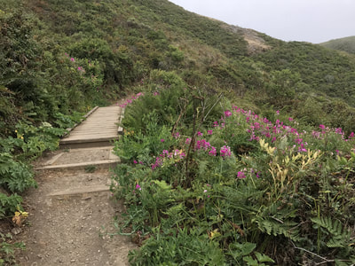
• Keep an eye out for wildflowers in spring and summer.
• Beware of poison oak, especially on the narrow passages. A poison oak scrub like Technu is handy to have on any hike if you bump into poison oak inadvertently.
• Be prepared for unexpected detours and road closures, whether for construction, traffic control, or other reasons. We started from this trailhead because the road to the upper trailhead was closed for a bike race.
The trail:
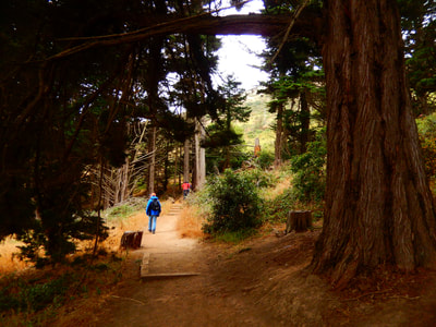
Much of this trail is on open hills with little tree cover. There is a bit of charming tree cover as you first head out of and back into the trailhead parking lot.
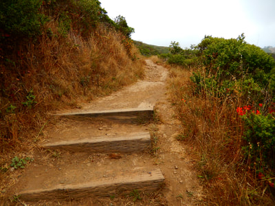
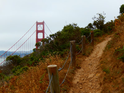
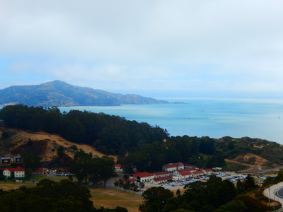
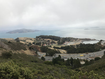
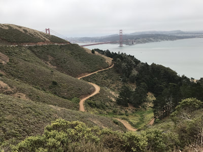
In a brief 0.2 miles, you will be at a road crossing that connects you to the SCA trail on the other side. This section of SCA trail is a series of switchbacks to make the steep climb less harsh, and offers amazing views in all directions. Each rise to the next plateau offers a different angle on the Golden Gate Bridge, the tunnel that cuts north into Marin, and the view of the bay with Alcatraz, Angel Island and the San Francisco skyline. This 0.9 mile stretch to the Slacker Trail connection was a pleasant surprise at every turn.
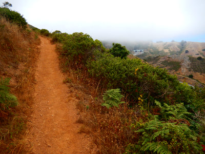
After a last steep push up to connect to the Slacker Trail, it is a brief 0.3 miles to Slacker Ridge. Watch for trail signs. The signs were not very clear when we got to the uphill turn to get to the top of Slacker Ridge. The signs were also missing when we got to a final turnoff choice of left or right to the actual Slacker Ridge view point. Our right turn rewarded us with the promised view, though the other peak would probably have been just as good. The 360 degree view offers a dramatic bridge view, the city skyline when looking toward the bay, and a peek toward Rodeo Beach valley when looking toward the Pacific.
The summit surveyor’s mark did not have an elevation listed, but one of our maps noted Slacker Ridge as being 925 feet above sea level.
It is a brief 0.2 miles back down to the Slacker Trail connection, and a left turn for another 0.2 miles gets you to the parking lot/toilet facility at the McCullough/Conzelman roundabout intersection.
It is a dramatic downhill 1.2 mile walk along a cliff side path hugging Conzelman Road to get back to the bridge base trailhead parking lot. This will be your populated part of the hike, with people and cars all along the vista points. If you want to avoid people, you can take the original trail path back, but you will miss seeing the views above Kirby Cove and the bridge, which are worth weaving through crowded spots for.
(Slacker Ridge from Golden Gate Bridge Hike Notes were originally paired with the “The Unexpected Path” Insights post.)
Click Insights/Hike Update News for inspiring reflections. Browse hikes on the main Hikes page or on the Hike Search by Area page. Check out selected articles and interviews under Media. Click World Walks to see or share favorite family-friendly walks! Stay in touch with Lisa Louis and HikingAutism via Contact. See products with inspiring designs that support the efforts of HikingAutism under Support/Shop. The Links page lists a loose collection of helpful information links.
Check the Home page for the broader background story. If you’re not able to take one of these Northern California hikes, hopefully you can enjoy the photo galleries at the bottom of each hike page! Feel free to share and follow on Facebook at HikingAutism, follow on Twitter at @HikingAutism and Instagram at lisalouis777
