Pulgas Ridge
(scroll to bottom for photo gallery)
Location: Pulgas Ridge Open Space Preserve, 167 Edmonds Road, Redwood City, CA 94062
Starting Point: Pulgas Ridge Parking Lot on Edmonds Road, a short distance from Route 280, taking the Edgewood Road exit, with a left turn on Crestview Drive and almost immediate left on Edmonds Road (as opposed to a right on Edmond Dr.)
Info/Links:
For all web links, if a link doesn’t jump directly, copy and paste into browser.
Pulgas Ridge Open Space Preserve info link:
https://www.openspace.org/preserves/pulgas-ridge
Pulgas Ridge Open Space Preserve Trail Map:
https://www.openspace.org/sites/default/files/map_PR.pdf
Midpeninsula Regional Open Space Preserves info link:
https://www.openspace.org/what-to-do/new-visitors
Distance:
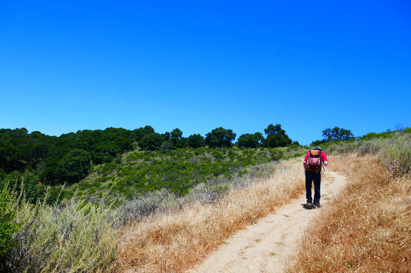
There are six miles of trails in the Pulgas Ridge Open Space Preserve. The hike shown in the photo gallery here covers the Blue Oak Trail (0.4 miles) to the Dick Bishop Trail (0.7 miles), connecting to the Polly Geraci Trail (0.9 miles). From the sign along the Polly Geraci trail leading to the Cordilleras Trail, it’s the final 0.5 miles to finish this hiking loop back to the parking lot. Total 2.5 miles, some hills, mixture of shady trails and open overhead.
Considerations:
• Parking is available at the Pulgas Ridge parking lot. As always, weekend and afternoon parking is typically harder. Go on a weekday if possible or go early.
• It’s easy to miss the almost immediate left onto Edmonds Road from Crestview. If you find yourself driving for a distance on Crestview, just find a place to turn around and head back toward Edmonds Road and the Pulgas Ridge parking lot.
• There is a pit toilet available at the Pulgas Ridge parking lot.
• Bring drinking water and sun protection. A cool foggy day by the coast can be a hot, dry day at this location.
• Keep away from poison oak, and check for ticks after an outing. These are standard cautions for any hike in Northern California.
• This preserve is popular for its off-leash dog area. The Hassler Loop Trail encloses the off-leash dog area. If there is a dog-shy member in your hiking group (as is the case with many of our autism spectrum families), be aware that you can take a wider loop away from this area. Dogs are allowed on leash on other trails.
• Bicycles and horses not allowed in this preserve.
The Trail:
Pulgas Ridge is run by the Midpeninsula Regional Open Space organization. Like Marin County to the north, the counties on the peninsula south of San Francisco are rich with wonderful open space preserves. See the links above for more preserves to visit.
As noted under “Distance” above, there are many options for hikes on the six miles of trails at Pulgas Ridge. Like many other families with a member on the autism spectrum, we tend to avoid off-leash dog areas as our son is easily scared by free running dogs. Pulgas Ridge is popular for its Hassler Loop Trail as it is the surrounding loop of the off-leash dog area. For those looking for a short, easy hike and don’t have issues with off-leash dogs, this is a good option.
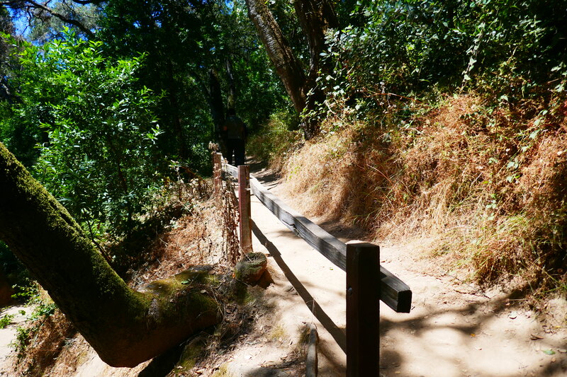
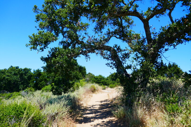
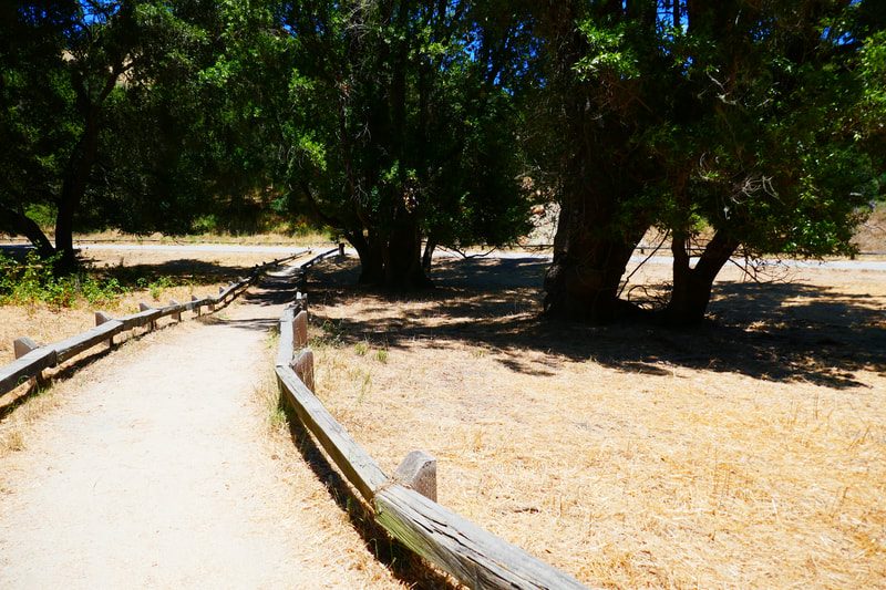
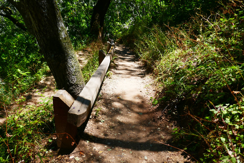
The photos in the photo gallery for this post cover a bigger loop of about 2.5 miles. Starting at the parking lot, just past the toilet facility, the there is a connector to the Blue Oak Trail. Most of the trails at Pulgas Ridge offer a mixture of tree shade and areas that are open to the sky overhead. Sun protection and water are important.
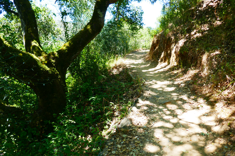
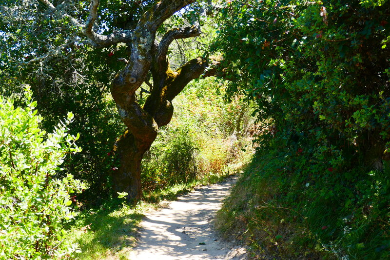
After the 0.4 miles of Blue Oak Trail, you can turn right to the Hassler Loop open-leash dog area, or veer to the left to the Dick Bishop Trail. Our choice was the Dick Bishop Trail, a mixture of shade from a variety of trees, dotted on the sides by various wildflowers and native plants. A bit of zigzagging leads to a rise up the hill with less tree cover. Higher up you will find the trail connector to the Polly Geraci Trail to the right. (Hikers can also turn left on the Hassler Trail and connect to the Dusky-footed Woodrat Trail, which is an option for those looking for an additional 2.2 mile hike segment and higher views. I want to try that trail just because the name is so colorful.)
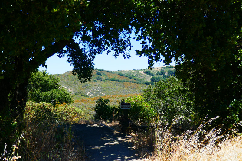
Hike north on the Polly Geraci Trail, and stop for a water and snack break under some shade. Zigzag back east along the Polly Geraci Trail, with its pretty views of hilly parks in San Carlos to the east. After close to a mile on the Polly Geraci Trail, with higher hills descending to shady narrow paths again, watch for the sign to connect to the Cordilleras Trail, which leads back to the parking lot over about 0.5 miles, a portion of which is more like a paved area with facility structures. (It is also possible to cut back to the parking area by turning right on the Hassler Trail which goes by the dog area and reconnects to the Blue Oak Trail.)
There are many open space preserve areas to explore on the peninsula south of San Francisco. Pulgas Ridge is a great place for trying shorter or longer hikes, depending on what your hiking crew feels up for.
(Pulgas Ridge Hike Notes were originally paired with the “Through Portals” Insights post.)
Click Insights/Hike Update News for inspiring reflections. Browse hikes on the main Hikes page or on the Hike Search by Area page. Check out selected articles and interviews under Media. Click World Walks to see or share favorite family-friendly walks! Stay in touch with Lisa Louis and HikingAutism via Contact. See products with inspiring designs that support the efforts of HikingAutism under Support/Shop. The Links page lists a loose collection of helpful information links.
Check the Home page for the broader background story. If you’re not able to take one of these Northern California hikes, hopefully you can enjoy the photo galleries at the bottom of each hike page! Feel free to share and follow on Facebook at HikingAutism, follow on Twitter at @HikingAutism and Instagram at lisalouis777
