Carson Falls
(scroll to bottom for photo gallery)
Location: Carson Falls, Bolinas, CA, Mt. Tam Watershed
Starting Point: This hike starts at the Old Sled Trail trailhead on Fairfax-Bolinas Road, slightly west of the Azalea Hill and the junction with Pine Mountain Fire Road
Info links:
For all web links, if a link doesn’t jump directly, copy and paste into browser.
Mt. Tam Watershed information (Marin Water):
https://www.marinwater.org/mt-tam-watershed
Mt. Tam project and road status info (CA State Parks):
https://www.parks.ca.gov/?page_id=471
Mt. Tam Watershed map (Marin Water):
https://www.marinwater.org/sites/default/files/2020-09/Watershed%20Visitor%20Map.pdf
Distance:
There are various hiking routes to Carson Falls. This hike starts at the Old Sled Trail trailhead on Bolinas-Fairfax Road, with a short connector walk along Oat Hill Road for a total of approximately 2.5 miles. The half mile climb from Bolinas-Fairfax Road to where Old Sled Trail connects with Oat Hill Road feels longer on a hot day, though. Be sure to bring water and sun protection.
Considerations:
• The trailhead is easy to miss. On Bolinas-Fairfax Road, a short distance west of the Azalea Hill parking area and junction with Pine Mountain Fire Road, there are two “rabbit ears,” sharp turns in the road pointing northwest. The northern turn has a trailhead for an unmarked trail (also a good trail to use to get to Carson Falls), but the second sharp turn is where a small trail marker for Old Sled Trail is visible, with off road parking at both of these trailheads.
• There are no toilet facilities on this trail or at Carson Falls. Hikers can make a port-a-potty stop at the Sky Oaks watershed check-in area before/after this hike.
• Poison oak was deceptively green and plentiful along much of the trail. A scrub like Tecnu is good to have handy.
• Dress in layers, bring sun protection, and have water available.
• The Old Sled Trail is not only quite steep in some areas, but also has slippery gravel. Shoes with a good grip are helpful.
• Maps are important for the less populated trails. Have a paper map or save online map images as there is no cell connection in many areas.
The trail:
One of the challenges for this hike is finding the trailhead. A short distance west of the Azalea Hill parking area at the intersection with Pine Mountain Fire Road, there are two “rabbit ears” on the map, sharp turns in Bolinas-Fairfax Road. The first, sharper turn has some roadside parking, and an unmarked trail cuts up the hill to Carson Falls. However, for the hike in this post, we took the marked trail that shows up on the map, Old Sled Trail, which is the further west “rabbit ear” curve in Bolinas-Fairfax Road. Other than some open areas on the side of the road for parking, it is not easy to notice the small trail marker at the trailhead unless looking carefully.
The Old Sled Trail trailhead sign notes a very reassuring distance of 1.0 miles to Carson Falls. Not having hiked this area for some time (and having taken the other, unmarked trail on a previous visit to Carson Falls), I forgot that it is a quite steep half mile climb to get to the midway hike point of the Oat Hill Fire Road.
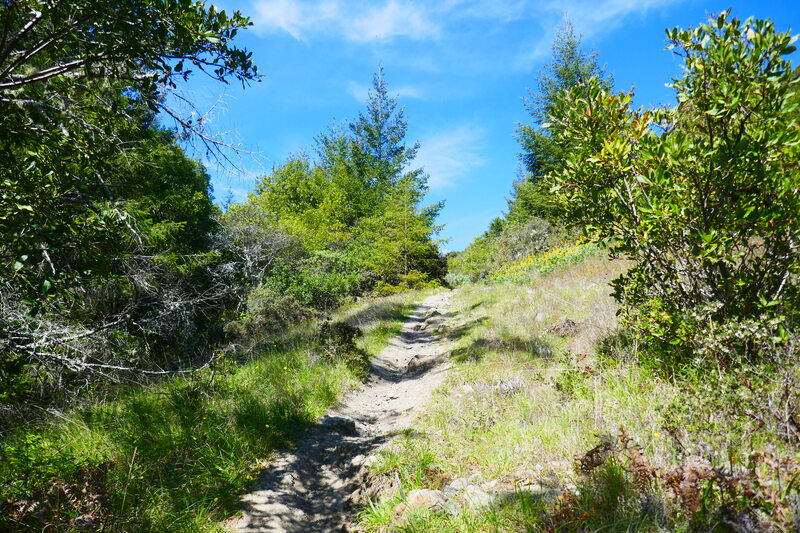
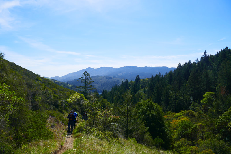
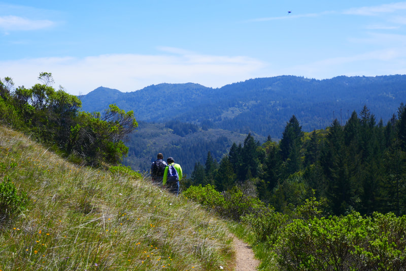
The Old Sled Trail starts out with quite a bit of tree coverage, but opens up to more open sky views as you climb higher. Be sure to turn back and see the lovely mountain views, sometimes including a glimpse of Alpine Lake.
Our April hike offered lovely wildflowers along the trail, which made for good excuses to catch our breath on the steep parts to take photos.
On the flip side, there was also a great deal of poison oak, much of it a well-camouflaged green. Having a scrub like Tecnu handy is a good idea.
We happened to hike on a beautiful sunny day, but that also meant that we got a bit overheated, especially when climbing the steeper areas. Sun protection and water were especially helpful.
The steeper stretches of trail often had a dry, gravelly surface, so we had a few slips on the way up as well as on the way back down. Shoes with a good grip helped.
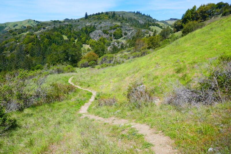
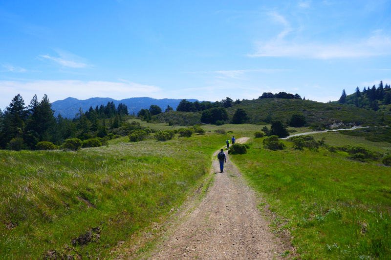
The views kept getting better as we got toward the top of this ridge, and found ourselves at Oat Hill Fire Road. We cut straight across the fire road and immediately headed downhill on a meadow-like trail with a less steep descent. There is an interesting mix of chaparral and then more woodsy forest stretches with shaded tree tunnels leading down toward Carson Falls.
In one of these woodsy stretches, I caught sight of what seemed like quite a large mammal whooshing high above from tree to tree, with a silver shimmer over black fur. I could not figure out what this animal might be, as it seemed big enough to be a baby bear, but no bear could jump that far. After later research on Marin mammals, my best guess is that this was a very large western grey squirrel, or perhaps a fox squirrel. Nose-to-tail length of up to 29 inches could make a thick-tailed squirrel appear quite large.
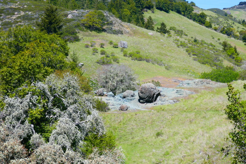
More open meadow stretches with a gentle winding path led past some very distinct rocky patches with the distinctive green of serpentinite, and one area with a rock formation that looked like a giant snail.
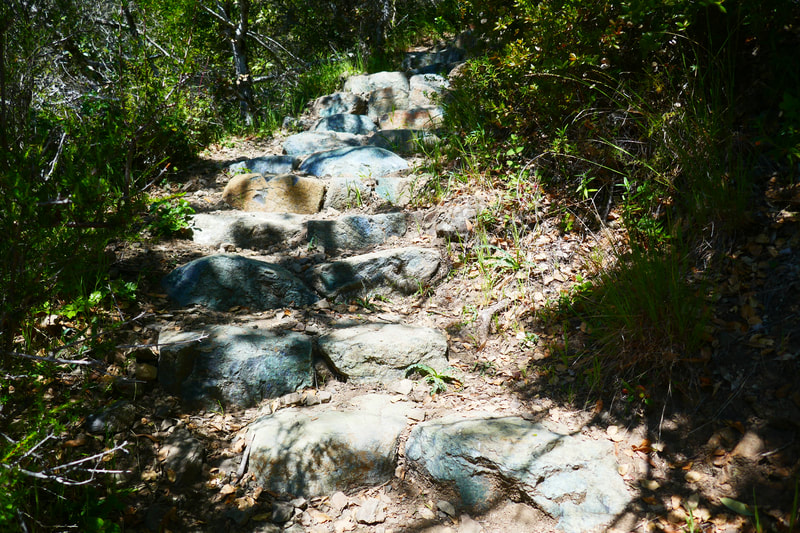
Trail markers came into view with a clearer path leading on to wooden footbridges, stone stairs, and rocky outcrops, all of which are brought us closer to Carson Falls.
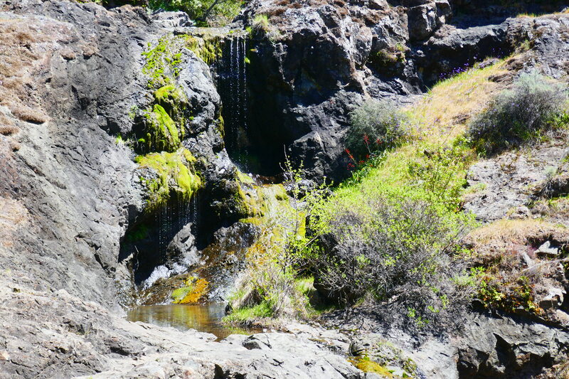
Hikers can take a peek from above the falls before making their way down the somewhat steep stairs to the falls viewing area. Informational signs tell about the rare yellow-legged frog native to the area. Ongoing drought conditions means that seeing a lot of water in Carson Falls might happen only in the wettest part of winter.
The rocky area by the falls is a great place to stop and rest, have a snack, or take photos. Something about the rocky structure and mountain scenery around Carson Falls makes me feel like I’m on the set of an old western movie.
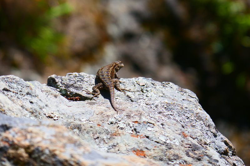
There were more wildflowers around the falls, as well as a lizard who was not shy about posing for photos.
To change up the scenery a bit, we took the short Carson Falls Trail segment that connects back to Oat Hill Fire Road. This stretch of trail cuts up an open hill area with rolling hill views, then passes through a forest area with some switchback turns in the trail, then back out to open air until reaching the fire road. (Cutting straight across the fire road here would lead to the unmarked trail that goes back down the hill to the first “rabbit ear” turn in Bolinas-Fairfax Road, but it then becomes quite a long walk along a narrow, twisty stretch of road to return to the Old Sled Trail trailhead parking we started from.)
Once at Oat Hill Fire Road, we walked the 0.3 miles back to the Old Sled Trail connection, and then made our way back down the hill that we climbed to start up. Dry gravel made for a few more slips on the half mile descent to the trailhead, but the views were wonderful.
(Whether on the way to or from the trailhead, or with stops on either side of the hike, the bathroom stop we make is at the Sky Oaks Watershed parking permit pay station, a short drive down Sky Oaks Road off Bolinas-Fairfax Road. Visitors going to areas requiring parking permits may be in line for the ticket machines, but you don’t have to wait for the machine, just go to the port-a-potties.)
(Carson Falls Hike Notes were originally paired with the “Trail Buddies” Insights post.)
Click Insights/Hike Update News for inspiring reflections. Browse hikes on the main Hikes page or on the Hike Search by Area page. Check out selected articles and interviews under Media. Click World Walks to see or share favorite family-friendly walks! Stay in touch with Lisa Louis and HikingAutism via Contact. See products with inspiring designs that support the efforts of HikingAutism under Support/Shop. The Links page lists a loose collection of helpful information links.
Check the Home page for the broader background story. If you’re not able to take one of these Northern California hikes, hopefully you can enjoy the photo galleries at the bottom of each hike page! Feel free to share and follow on Facebook at HikingAutism, follow on Twitter at @HikingAutism and Instagram at lisalouis777
