Inspiration Point-Nimitz Way Hike
(scroll to bottom for photo gallery)
Location: Inspiration Point, Tilden Nature Area, Orinda (bordering Berkeley)
Starting Point: Inspiration Point Parking Lot, Wildcat Canyon Road, Orinda, CA 94563
Info links:
For all web links, if a link doesn’t jump directly, copy and paste into browser. (Information links may change. We do our best to update.)
Tilden Nature Area information link (East Bay Regional Park District):
https://www.ebparks.org/parks/tilden-nature-area
Tilden Nature Area brochure and map link (East Bay Regional Park District):
https://www.ebparks.org/sites/default/files/tildennaturearea_map.pdf
Tilden Regional Park information link (East Bay Regional Park District):
https://www.ebparks.org/parks/tilden
Tilden Regional Park brochure and map link (East Bay Regional Park District):
https://www.ebparks.org/sites/default/files/tilden_map.pdf
EBMud trail map information link (East Bay Municipal Utility District):
https://www.ebparks.org/sites/default/files/tilden_map.pdf
Distance:
From the Inspiration Point Parking lot, the Nimitz Way Trail is the clearly visible paved way that continues on past the public bathroom building after the stone gateway. Our plan was to do the one-mile-in, one-mile-back easy walk to the intersection with the Inspiration Trail (which can be used to make a loop hike), but we added another quarter mile or so beyond that to enjoy a few more scenic turns in the trail and check out distant views of the Golden Gate Bridge. Our 2.5-mile round trip hike was fairly easy because the trail is paved, and there are only slight elevation changes.
Considerations:
• The Tilden Nature Area and East Bay Mud lands border each other. The Nimitz Way Trail falls within the Tilden Nature Area, but Inspiration Trail and points north are within the East Bay Mud land. Many of the EBMud trails require a permit for hiking. See EBMud link above for their trail information.
• The parking lot accommodates a fair number of cars and includes some disability placard spots. When lot is full, roadside parking is allowed.
• There are toilet facilities at the start of the trail, right beyond the Nimitz Way stone gates.
• Pay attention to posted notices, including info on mountain lions, poison oak, etc.
• Bikes use the same trail as walkers, so be aware of bike traffic.
The trail:
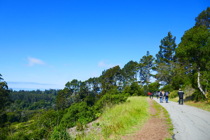
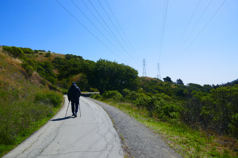
From the stone gates by the parking lot, the paved Nimitz Way Trail stretches on past the toilet building. There is a gradual rise in elevation on the outward leg of this walk, but it is not very steep.
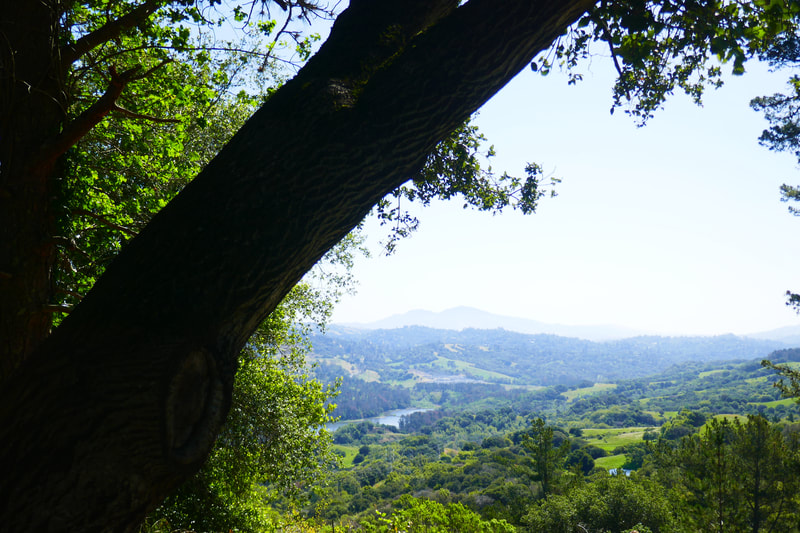
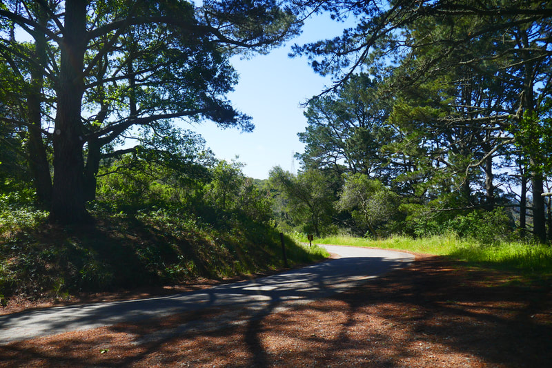
Much of this path is open, with little tree cover. Sun protection and water are important to have on hand for hot sunny days. There are short stretches with tree cover along the path, and a number of beautiful visit spots, some with benches, where there is more tree shade. The San Pablo Reservoir and Briones Reservoir are visible from different parts of the trail.
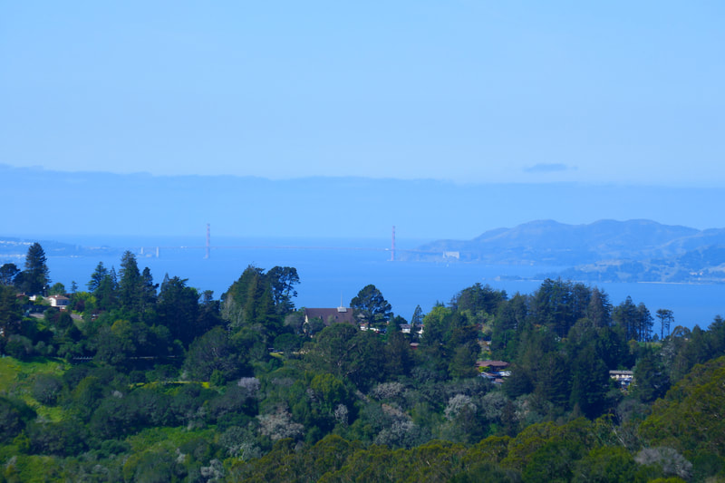
The Golden Gate Bridge, San Francisco Bay, and San Pablo Bay also come into view from viewing spots a little further along. The trail goes straight with simple greenery and trees in view along the sides for some stretches, and then a turn in the trail opens up to a new view of a reservoir or bay.
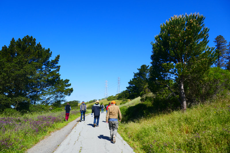
Powerlines rise overhead along one stretch of the Nimitz Way Trail. Along this section, there is a lightly worn side trail bordered by a barbed wire fence that rises high up the hill above the paved trail. Those who want a bit of adventure and a higher view can climb this grassy trail, which goes up and over the hill and then reconnects with the main paved trail. The view from this rise is worth the little extra climbing excursion.
We had planned to turn around at the approximate one-mile mark where Nimitz Way Trail connects with the Inspiration Trail, but decided to go a little further and enjoyed a few more scenic turns in the trail which offered a dramatic view of the Golden Gate Bridge in the distance.
This was our first walk from the Inspiration Point trailhead, and we saw a number of side trails we look forward to exploring next visit.
(Inspiration Point-Nimitz Way Hike Hike Notes were originally paired with the “Getting There” Insights post.)
Click Insights/Hike Update News for inspiring reflections. Browse hikes on the main Hikes page or on the Hike Search by Area page. Check out selected articles and interviews under Media. Click World Walks to see or share favorite family-friendly walks! Stay in touch with Lisa Louis and HikingAutism via Contact. See products with inspiring designs that support the efforts of HikingAutism under Support/Shop. The Links page lists a loose collection of helpful information links.
Check the Home page for the broader background story. If you’re not able to take one of these Northern California hikes, hopefully you can enjoy the photo galleries at the bottom of each hike page! Feel free to share and follow on Facebook at HikingAutism, follow on Twitter at @HikingAutism and Instagram at lisalouis777
