Easy Grade Trail-Pantoll to Mountain Theater
(scroll to bottom for photo gallery)
Location: The loop hike that includes an ascending leg via the Easy Grade Trail to Mountain Theater from Pantoll Campground and a descent on the Old Mine Trail described in this post (part one of two) starts at: Pantoll Campground parking area, 3801 Panoramic Highway (near junction with Pantoll Road) Mount Tamalpais State Park, Mill Valley, CA 94941
Starting Point: Pantoll Campground and parking area, 3801 Panoramic Highway, Mill Valley, CA 94941 (near junction with Pantoll Road)
Info links:
For all web links, if a link doesn’t jump directly, copy and paste into browser.
For online map application searches, input “Pantoll Campground Parking”
Mount Tamalpais State Park info link (CA State Parks):
https://www.parks.ca.gov/?page_id=471
Muir Woods and Vicinity Trail Map (National Park Service):
https://www.nps.gov/goga/planyourvisit/upload/map-muwo-trail-2019-small.pdf
Mount Tamalpais brochure with map (California State Parks):
https://www.parks.ca.gov/pages/471/files/MountTamalpaisSPFinalWebLayout110816.pdf
Distance:
This post covers the ascending segment of a loop hike which starts with walking across the Panoramic Highway to start walking along the Old Stage Road. Walk past the intersection with the Matt Davis Trail and Old Mine Trail until you find the start of the Easy Grade Trail, a distance of 0.2 miles to get to that trailhead (0.3 from the parking area). The Easy Grade Trail sign says 0.6 miles to Mountain Theater. We chose this shorter trail as our ascending leg. To make the return trip from Mountain Theater, there is a 0.2 mile connection via the Mountain Theater Fire Trail to get to Old Mine Trail. I think we turned at the Old Mine Spur before getting to the Old Mine Trailhead, but they both connect to the main Old Mine Trail which is marked as 1.5 miles between Mountain Theater and the lower connection back at Old Stage Road which leads back to Pantoll Campground and parking. The full loop is a little over two and a half miles when adding the short connectors between the main trails.
Considerations:
• The Pantoll parking area is fairly large, but as is the case at many trailheads, it gets more crowded on weekends. (There is a small day use fee for parking at the parking lot.)
• There are toilets at the Pantoll trailhead parking area, and also at Mountain Theater.
• Follow health, safety, and wildlife information signs.
• Having a poison oak scrub like Technu is handy for any trail.
• As with any Bay Area outing, bring layers. You may be hot in the sun one moment and shivering under fog and a chilly breeze the next.
• Maps are important, whether paper or a downloaded image. Cell service is not always reliable, so downloading an image ahead of time helps. Not all trails are marked clearly or accurately on all maps, and trail signs aren’t always as clear cut as expected, so keeping a sense of bearings is important.
The trail:
This is the ascending leg of a loop hike between Pantoll Campground and Mountain Theater. The descending leg of the hike will be described in a future Hike Notes post.
The first challenge of this hike is walking across the Panoramic Highway safely. The parking area entrance is not that wide, so hikers and cars have to watch out for each other, and traffic on the Panoramic Highway can zip at a fast speed, so timing the crossing with cars coming along a curve, and traffic from the intersecting Pantoll Road in the mix, means being careful when crossing. For us this is a challenge because our autistic son sometimes freezes up in the middle of the road.
Once across the road, hikers will be on Old Stage Road, a fairly wide fire road that goes all the way to West Point Inn. For this hike, only take Old Stage Road until you see the sign for Easy Grade Trail on the left. You will also notice intersections with the Matt Davis Trail, the Easy Grade Spur, and the Riding and Hiking Trail, but stick with the Easy Grade Trail to get to the Mountain Theater.
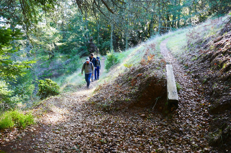
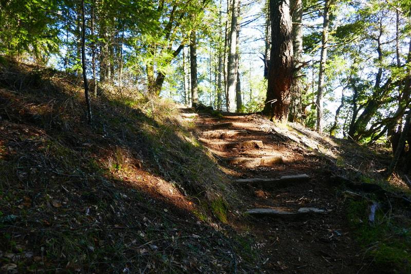
The good thing about the Easy Grade Trail, for those who don’t like steep climbs, is that it is mostly an easy upward grade. The trail is fairly narrow in parts, and doesn’t look as well traveled or maintained as some other trails in the area, but that’s part of its charm.
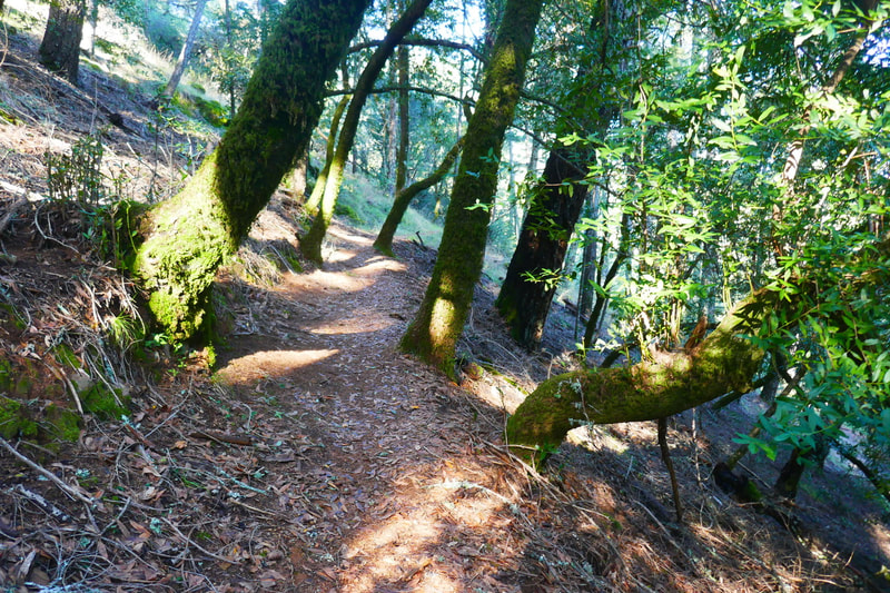
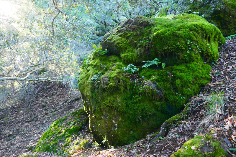
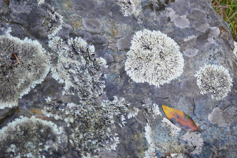
Much of the trail is dirt softened by a cover of tree debris. That makes for comfortable walking. Douglas fir, manzanita, bay and tanoak trees can be found here. Mt. Tam is a place of many mosses, mushrooms, and lichen. Recent rain made the moss on trees and rocks bright green during our hike.
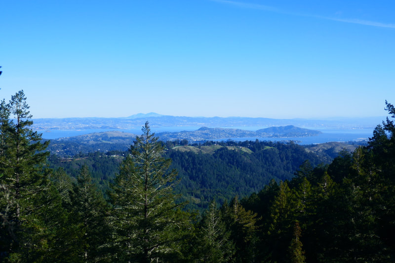
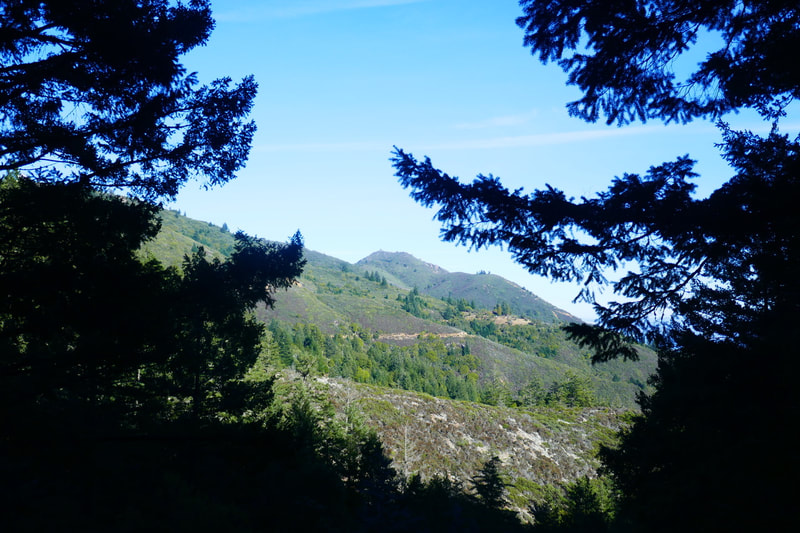
Where the trail rises out into open views, hikers can see across the mountain to Mount Diablo across the bay, and Angel Island in the bay.
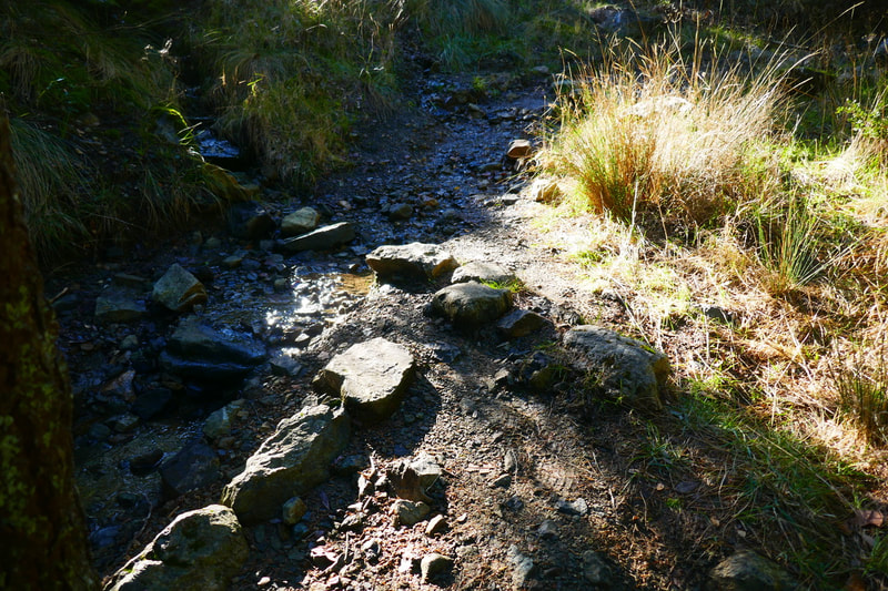
There were a couple of wet creek crossings, but nothing deep enough to soak our shoes on our visit. Fallen trees were by the side of the trail for the most part. We only had to climb over a tree blocking the trail once.
There are some wooden steps for a quicker climb in the sharper rise spots, but most of the Easy Grade Trail is in fact a moderate incline climb. Another open view pops up midway that offers a view of the East Peak of Mt. Tam.
There’s an old wooden bench-type structure in a creek-like trail stretch as hikers get closer to Mountain Theater. Open sky at the top of the ridge indicates hikers are getting closer to the destination.
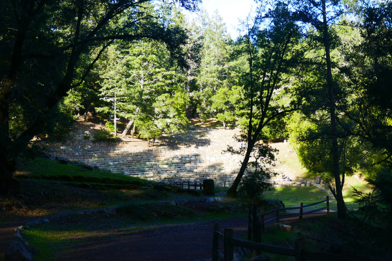
The end of the Easy Grade Trail proper opens into a set of wooden and stone steps that lead up to the stone seat amphitheater that seats over 3,000 audience members for summer performances. I’ve only visited the theater for daytime hikes, so never see more than a handful of hikers there.
This is where the ascending leg of the hike ends. There are picnic tables and toilets as well as the amphitheater seats to sit and take a break on before contemplating the return leg of the hike.
Not everyone in my hiking entourage likes steep climbs, so this turned out to be a reasonable choice for moderate hikers to make their way up from one of the most popular trailheads to the Mountain Theater. The descending leg via Old Mine Trail was longer and had more varied scenery, and will be featured in the next Hike Notes post.
(Easy Grade Trail-Pantoll to Mountain Theater Hike Notes were originally paired with the “Together and Apart” Insights post.)
Check the Home page for the broader background story. Click Insights/Hike Update News for inspiring reflections. Browse hikes on the main Hikes page or on the Hike Search by Area page, and scroll to the bottom of each hike page to see full photo galleries.
If you’d like to support HikingAutism, check out the Support/Shop page! Check out selected articles and interviews under Media. Click World Walks to see or share favorite family-friendly walks! Stay in touch with Lisa Louis and HikingAutism via Contact. The Links page lists a loose collection of helpful information links. Feel free to share and follow on Facebook at HikingAutism, follow on Twitter at @HikingAutism and Instagram at lisalouis777
