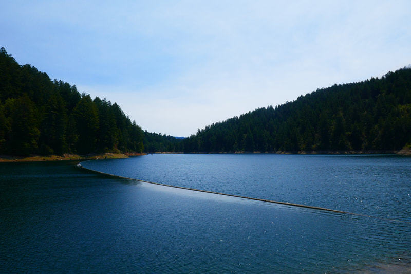
Kent Lake from Shafter Bridge
(scroll to bottom for photo gallery)
Location/Directions: To Shafter Bridge/Leo T. Cronin Fish Viewing Area from Highway 101: Directions as provided by the Marin Municipal Water District: Take the Sir Francis Drake Blvd exit and head west. Travel about 9 miles, through Greenbrae, Kentfield, Ross, San Anselmo, Fairfax, and out to the San Geronimo Valley. Continue west for about another 5 miles, past the San Geronimo Golf Course and past the towns of Woodacre, San Geronimo, Forest Knolls, and Lagunitas. Cross over Shafter Bridge, which is about 1⁄2 mile west of theLagunitas store, and immediately turn left, into the parking lot of the Leo T. Cronin Fish Viewing Area. If you pass the sign on the right for Samuel P. Taylor State Park you have gone too far.
Starting Point:Leo T. Cronin Fish Viewing Area parking lot, next to Shafter Bridge on Sir Francis Drake Blvd.
Info links:
For all web links, if a link doesn’t jump directly, copy and paste into browser.
Mt. Tam Watershed information (Marin Water):
https://www.marinwater.org/mt-tam-watershed
Mt. Tam project and road status info (CA State Parks):
https://www.parks.ca.gov/?page_id=471
Mt. Tam Watershed map (Marin Water):
https://www.marinwater.org/sites/default/files/2020-09/Watershed%20Visitor%20Map.pdf
Distance:
Though I haven’t found an official distance listing, the hike from Shafter Bridge/LeoT. Cronin Fish Viewing Area parking lot is less than one mile each direction, whether taking Shafter Grade and connecting to Peters Dam Road W/Peters Dam Quarry Road on the west side of Lagunitas Creek, or Lower Peters Dam Road on the east side. If you amble around on the lake edge enough, you might make this add up to a two mile round trip.
Considerations:
• A port-a-potty is available at the Leo T Cronin Fish Viewing parking area.
• As noted in the directions above, if driving west on Sir Francis Drake and you come to Samuel P Taylor State Park, you’ve gone too far. Turn around and look for the parking area by the bridge.
• Parking is limited, but visitors are good about waiting in turn for the next spot to open. Weekdays are typically better than weekends, and mornings are better than afternoons for parking.
• This trail is relatively short, but involves a gradual uphill climb to get to Kent Lake.
• Heed wildlife signs, and signs with rules regarding the lake. The Marin Watershed lakes are a local drinking water source.
The trail:
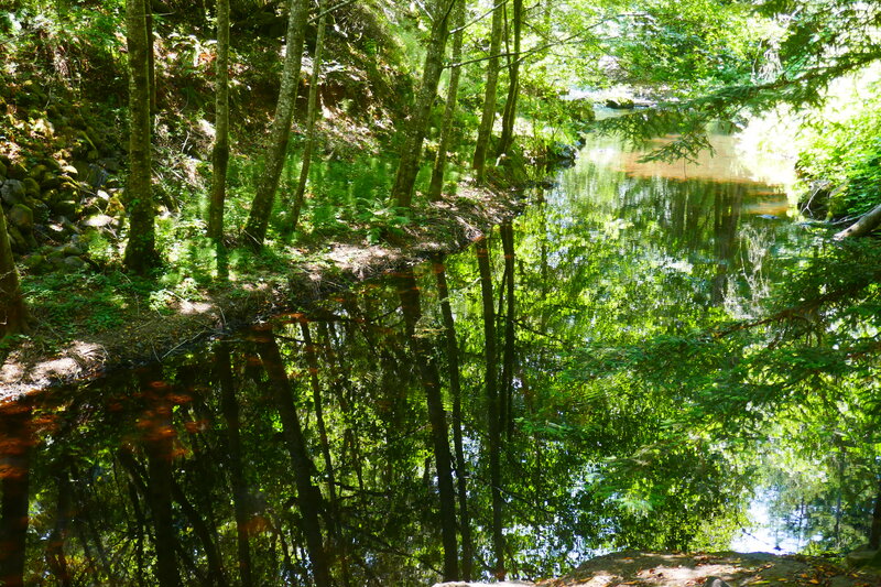
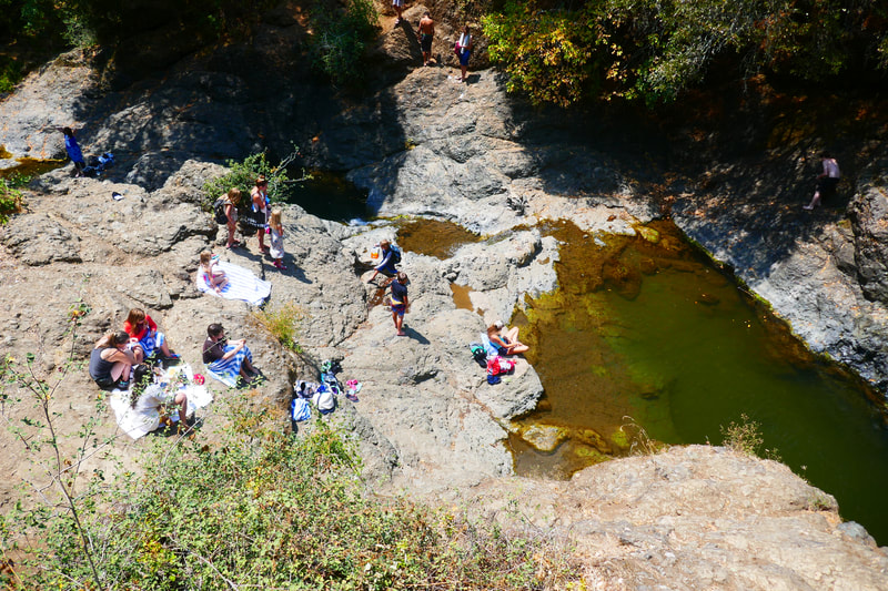
Unlike the much longer Shafter Grade to Bolinas Ridge hike that is popular from this starting location, Shafter Grade to Peters Dam Road W to Kent Lake is a quick and easy moderate climb along a wide trail and service road. Many visitors who park at the Leo T. Cronin Fish Viewing Area parking lot are either going to the Inkwells swimming holes across Sir Francis Drake (under the foot bridge), or spending time along Lagunitas Creek, with its cool water and pretty reflections. A full parking lot does not necessarily mean a busy trail to the lake.
We like a little taste of all of these elements by stopping to look at the Inkwells after hiking, and spending a little time cooling our feet in the creek on a hot day if we have time.
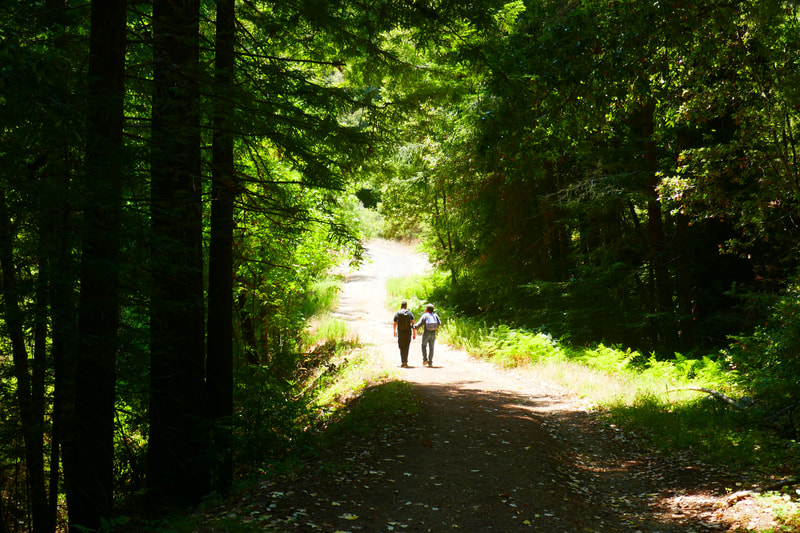
For this short but gratifying hike, from the parking lot, head up Shafter Grade, which is a pretty tree tunnel trail that goes along the creek for a bit and then rises up. When you reach the wider service road, note that the trail sign for Shafter Grade continues almost perpendicular to the service road, but that leads hikers on a much longer hike away from Kent Lake.
Instead, head left along the service road, which is Peters Dam Road W. Follow the incline upward as the tree cover breaks to open sky. Keep going toward the bright open sky, past a few more trees, and you’ll have reached the rocky area by the dam structure above the lake. Not having bothered to look carefully at the map on my visits, I did not take a short side loop around on Peters Dam Quarry Road, which should take hikers down to the lake edge without any rocky climbs.
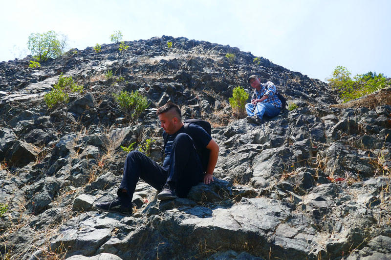
For those of us who reached the viewing spot above the lake by the dam along Peters Dam Road W., getting down to the lake means a slippery somewhat steep rocky descent (don’t try crossing down through the dry dam structure). This gets you down to the lake edge.
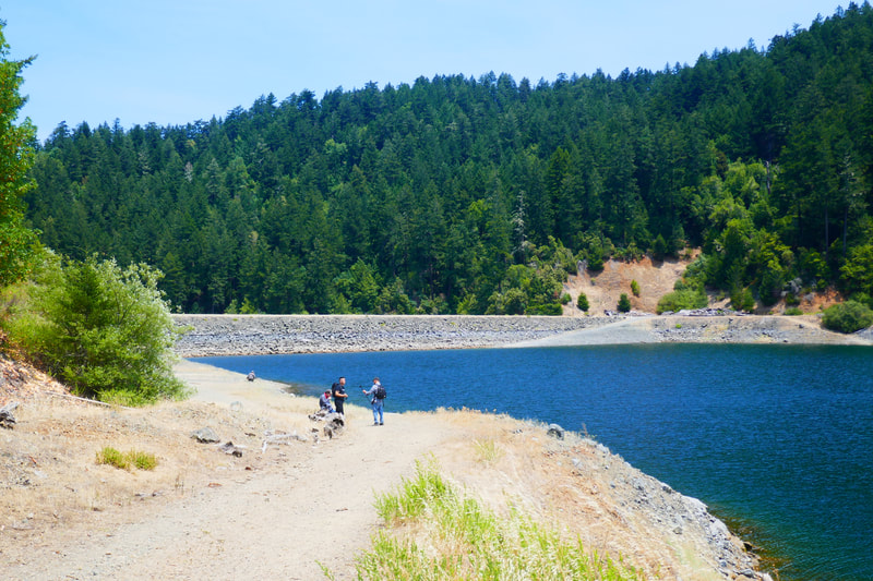
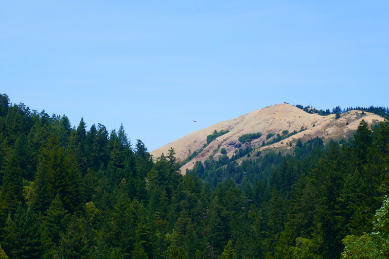
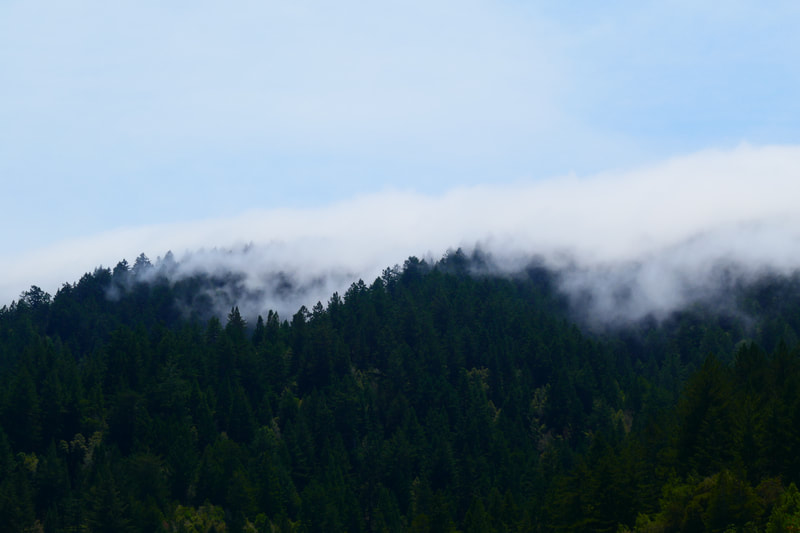
Kent Lake reminds me of many of the smaller lakes that dot the Adirondack Mountains in Northern New York State, my childhood stomping grounds. Deep blue water surrounded by pine trees, with fingers of mist crawling over the tree tops across the lake. You can’t beat that.
Once done enjoying the view or having a snack break by the lake, we walk the path past the dam structure to the crossing road that looks back toward the creek valley. Turning left down the hill along Lower Peters Dam Road leads back through tree lined passages downhill to Shafter Bridge and the Inkwells and parking area.
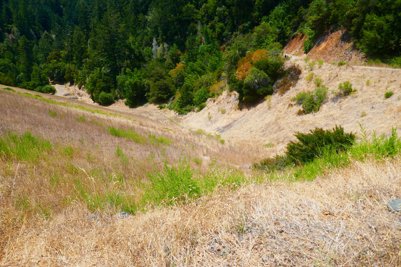
For a bit more adventure, it is also possible to walk the steep valley hill down to the drainage structure which leads to Peters Dam Plunge Pool Road at the hill bottom. This runs parallel to Lower Peters Dam Road and eventually connects to it, and again back to Shafter Bridge.
This is not a long hike by any means, but includes a cool shady creek, tree covered trails, open sky service road paths, and lake views, as well as a valley view looking back in the direction of the dam/spillway. That’s a lot of visual treats packed into less than a two mile loop.
(Kent Lake from Shafter Bridge Hike Notes were originally paired with the “Old Comforts” Insights post.)
Click Insights/Hike Update News for inspiring reflections. Browse hikes on the main Hikes page or on the Hike Search by Area page. Check out selected articles and interviews under Media. Click World Walks to see or share favorite family-friendly walks! Stay in touch with Lisa Louis and HikingAutism via Contact. See products with inspiring designs that support the efforts of HikingAutism under Support/Shop. The Links page lists a loose collection of helpful information links.
Check the Home page for the broader background story. If you’re not able to take one of these Northern California hikes, hopefully you can enjoy the photo galleries at the bottom of each hike page! Feel free to share and follow on Facebook at HikingAutism, follow on Twitter at @HikingAutism and Instagram at lisalouis777
