Windy Hill-Betsy Crowder and Meadow Trails
(scroll to bottom for photo gallery)
Location: The loop hike that includes the ascending leg in this post and the descending leg (Windy Hill-Hamms Gulch and Spring Ridge Trails) starts at what is noted on the Windy Hill trail map (but not necessarily on online maps) as “Lower Windy Hill” parking area, 555 Portola Road, Portola Valley, CA 94028
Starting Point: Windy Hill Open Space Preserve parking area on Portola Road, about 0.6 miles south of the Portola Valley Town Center
Info links:
For all web links, if a link doesn’t jump directly, copy and paste into browser.
Windy Hill Open Space Preserve info link (Midpeninsula Regional Open Space):
https://www.openspace.org/preserves/windy-hill
Windy Hill Open Space Preserver Trail Map (Midpeninsula Regional Open Space):
https://www.openspace.org/sites/default/files/map_WH.pdf
Other Windy Hill hike information (Peninsula Open Space Trust):
https://openspacetrust.org/hike/windy-hill/
Distance:
This post covers the ascending segment of a loop hike (descending leg covered in Windy Hill-Hamms Gulch and Spring Ridge Trails Hike Notes). Starting from the Lower Windy Hill parking area on Portola Road, we walked the short distance from the parking/public restroom area on a service road to Windy Hill Open Space Preserve trails. We took the Betsy Crowder Trail for 0.6 miles, took the Spring Ridge Trail northwest (not southeast) as a 0.3 mile connector to the Meadow Trail. We followed the Meadow Trail for 0.5 miles until we reached Hamms Gulch Trail, and took that for 0.2 miles to connect with the Spring Ridge Trail. We then took the Spring Ridge Trail north for 0.6 miles to return to the Lower Windy Hill parking area, passing Sausal Pond along the way. This made for a pleasant 2.2 mile loop hike.
Considerations:
• The Lower Windy Hill parking area off Portola has a fair number of spaces, but Windy Hill Open Space info also says additional parking is available at the Portola Valley Town Center.
• There are toilets at the Lower Windy Hill parking area.
• Follow health, safety, and wildlife information signs.
• Having a poison oak scrub like Technu is handy for any trail.
• As with any Bay Area outing, bring layers. You may be hot in the sun one moment and shivering under fog and a chilly breeze the next.
• Maps are important, whether paper or a downloaded image. Cell service is not always reliable, so downloading an image ahead of time helps. Not all trails are marked clearly or accurately on all maps, and trail signs aren’t always as clear cut as expected, so keeping a sense of bearings is important.
The trail:
This is the ascending leg of a loop hike that starts and ends at the Lower Windy Hill parking area off Portola Road.
There is a fairly ample parking area off Portola Road, but visitors should be aware that trailhead parking is usually more crowded on weekends and holidays.
We left the parking area and found public toilets and then information signs a bit farther along, where paper brochures with a trail map were on offer. The trail map was very useful, and can be returned at the end if not needed. If brochures are gone, take a photo of the trail map on the sign for reference.
Just up the service road is a sign with an arrow pointing toward the start of Windy Hill trails. We walked the short distance to the first trail signs, and chose to take the Betsy Crowder Trail, named in honor of a local nature preservation leader.
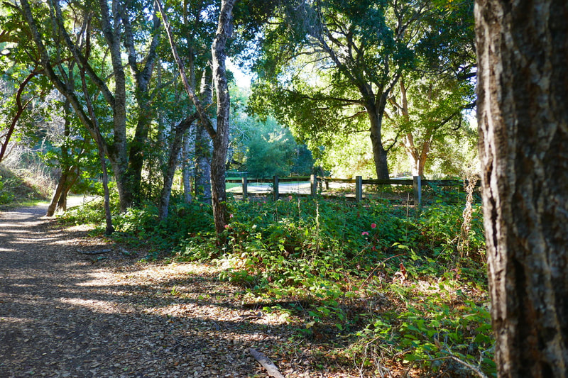
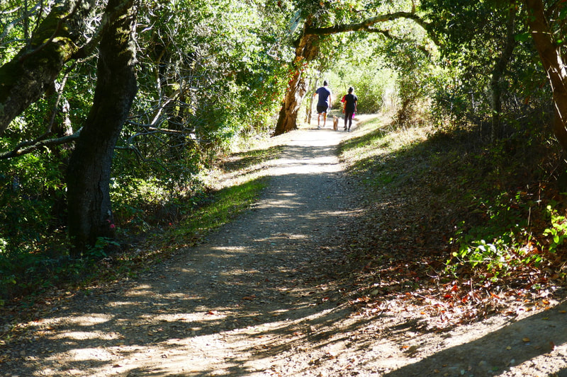
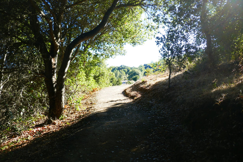
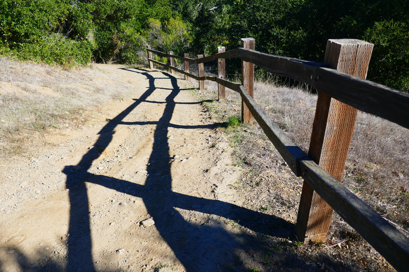
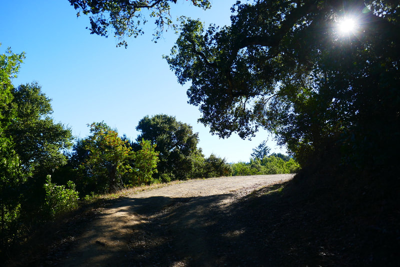
The Betsy Crowder Trail starts out flat with a fairly wide trail, marked by a wooden fence toward the start. The trail narrows a bit and starts to go up a gentle incline, rising through deciduous forest to open sky views of mountains in the distance. This 0.6 mile section of our hike ended when we connected to the Spring Ridge Trail. We turned right (northwest) here to take the Spring Ridge Trail as a short connector to the Meadow Trail. (Turning left (southeast) would have made our loop hike significantly shorter, for those who want an easier hike.)
This short section of the Spring Ridge Trail also continued rising gradually through scenic deciduous forest, again coming to open sky views. Spring Ridge Trail is actually one of the longest trails in the Windy Hill Open Space Preserve and connects all the way from the Lower Windy Hill parking area off Portola to the Spring Ridge parking area on Skyline Blvd., for those looking for a long hike.
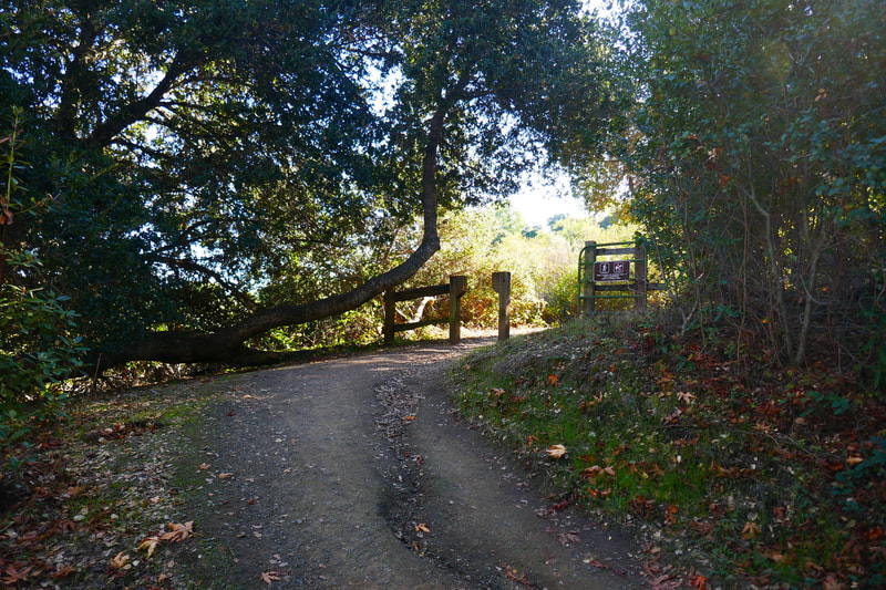
Our short walk on Spring Ridge Trail brought us to the Meadow Trail. We headed southeast on the Meadow Trail starting off with a charming wooden fence guiding us down a gentle slope and back under the trees. We spotted poison oak along the way, something hikers should learn to identify, whether in telltale red or when green and less easy to spot.
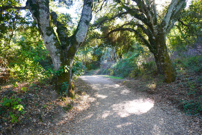
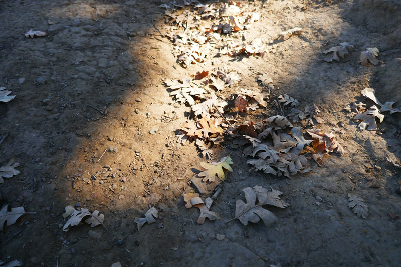
Even the more forested areas on these trails never felt very dark and dense. Other than a few areas with roots or rocks in the trail, these trails were remarkably smooth for walking.
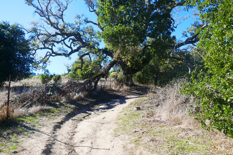
The Meadow Trail rose up again to open sky with the bay and mountains in view beyond the hills in the foreground. The twisted branches of older oak trees as we came to a major turn on the trail were some of the best visual highlights of the hike.
There were extra signs directing hikers to stay on the Meadow Trail through one section where the road and trails were less clear. For this post, we’ll end the description where we have gradually descended along the Meadow Trail and reached Hamms Gulch Trail, which appears in the Windy Hill-Hamms Gulch and Spring Ridge Trails Hike Notes.
Overall, the Windy Hill trails in this area were nicely maintained and the trail signs were reasonably clear, though it was still very helpful to have the paper map offered at the trailhead as we navigated several trail intersections for this hike.
(Windy Hill-Betsy Crowder and Meadow Trails Hike Notes were originally paired with the “Gnarled Wisdom”Insights post.)
Check the Home page for the broader background story. Click Insights/Hike Update News for inspiring reflections. Browse hikes on the main Hikes page or on the Hike Search by Area page, and scroll to the bottom of each hike page to see full photo galleries.
If you’d like to support HikingAutism, check out the Support/Shop page! Check out selected articles and interviews under Media. Click World Walks to see or share favorite family-friendly walks! Stay in touch with Lisa Louis and HikingAutism via Contact. The Links page lists a loose collection of helpful information links. Feel free to share and follow on Facebook at HikingAutism, follow on Twitter at @HikingAutism and Instagram at lisalouis777
